Osceola County (/ˌɒsiˈoʊlə/ AH-see-OH-lə) is a county located in the central portion of the U.S. state of Florida. As of the 2020 census, the population was 388,656. Its county seat is Kissimmee. Osceola County is included in the Orlando–Kissimmee–Sanford, Fla. Metropolitan Statistical Area.
Being 54.3% Hispanic, Osceola is one of three Hispanic-majority counties in Florida, owing to its large Puerto Rican American population. It also is the 12th-largest majority-Hispanic county in the nation.
| Name: | Osceola County |
|---|---|
| FIPS code: | 12-097 |
| State: | Florida |
| Founded: | May 12, 1887 |
| Named for: | Osceola |
| Seat: | Kissimmee |
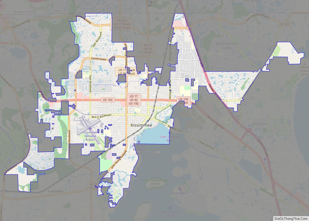
| Largest city: | Kissimmee |
| Total Area: | 1,506 sq mi (3,900 km²) |
| Land Area: | 1,327 sq mi (3,440 km²) |
| Total Population: | 388,656 |
| Population Density: | 293/sq mi (113.1/km²) |
| Time zone: | UTC−5 (Eastern) |
| Summer Time Zone (DST): | UTC−4 (EDT) |
| Website: | www.osceola.org |
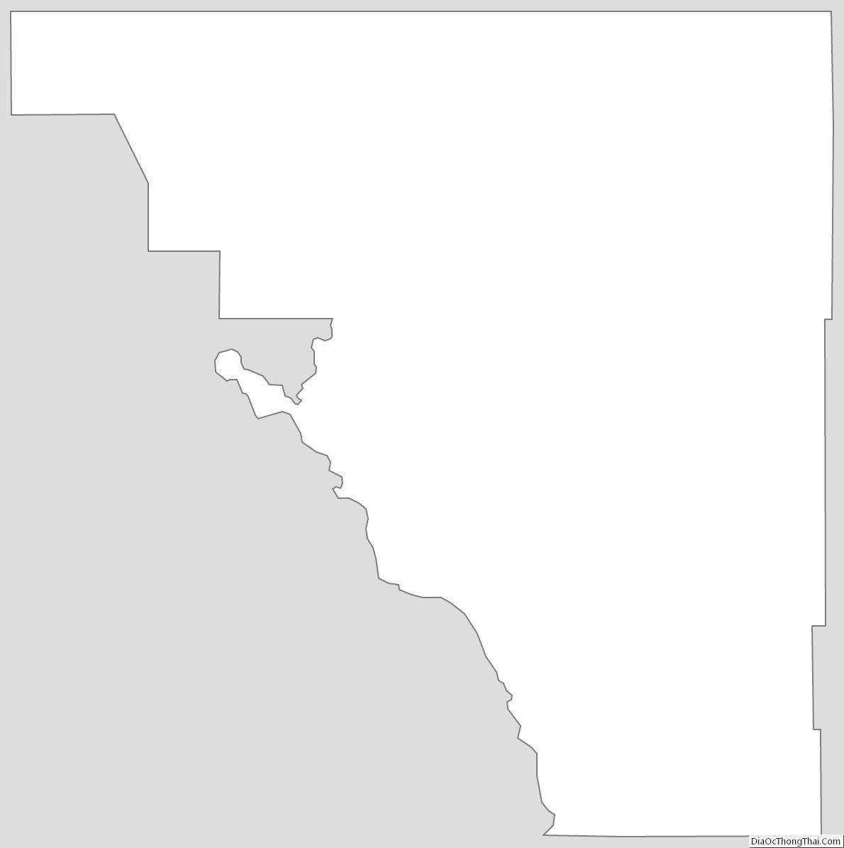
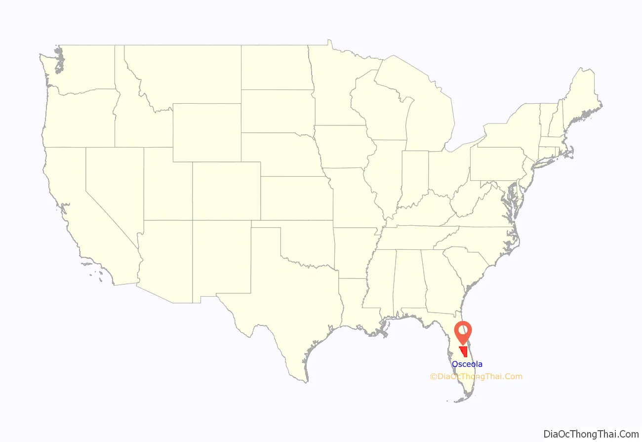
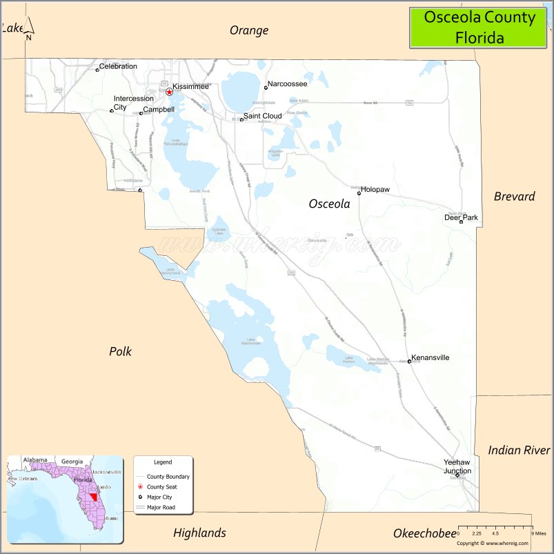
Osceola County location map. Where is Osceola County?
History
Osceola County was created in 1887. On July 21, 1821, Florida was divided into two counties, named Escambia County to the west and St. John’s County to the east. In 1824, the southern part of St. John’s County became Mosquito County, with Enterprise as the county seat. In 1844, Brevard County was carved out from Mosquito County. When Florida became a state in 1845, Mosquito County was renamed Orange County. On May 12, 1887, Osceola was named a county, having been created from both Orange and Brevard Counties. Osceola County reached all the way down to Lake Okeechobee until 1917 when Okeechobee County was formed.
Since the late 20th century, Osceola County has experienced a significant influx of migrants from the Commonwealth of Puerto Rico, the unincorporated territory of the United States, and in the 2000 U.S. Census Puerto Rican was the largest self-reported ancestry group.
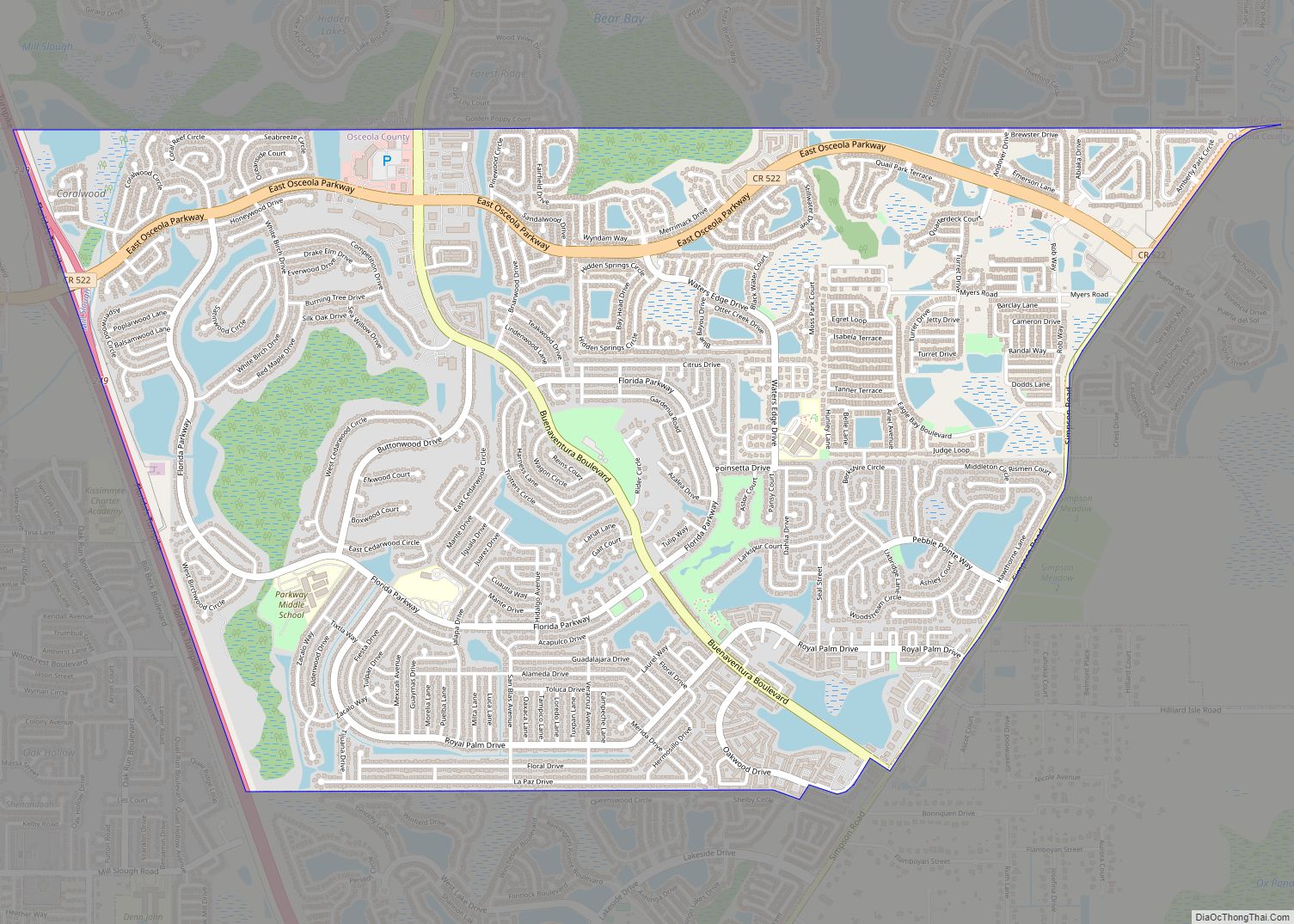
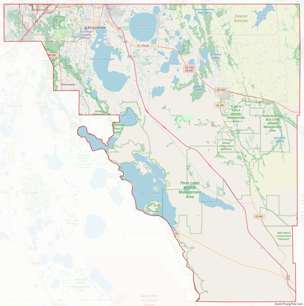
Osceola County Road Map
Geography
According to the U.S. Census Bureau, the county has a total area of 1,506 square miles (3,900 km), of which 1,327 square miles (3,440 km) is land and 178 square miles (460 km) (11.9%) is water.
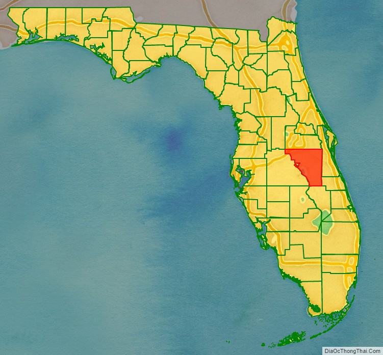
Adjacent counties
- Orange County – north
- Brevard County – northeast
- Indian River County – east
- Okeechobee County – southeast
- Highlands County – south
- Polk County – west
- Lake County – northwest
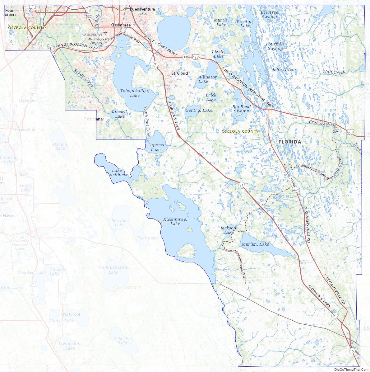
Osceola County Topographic Map
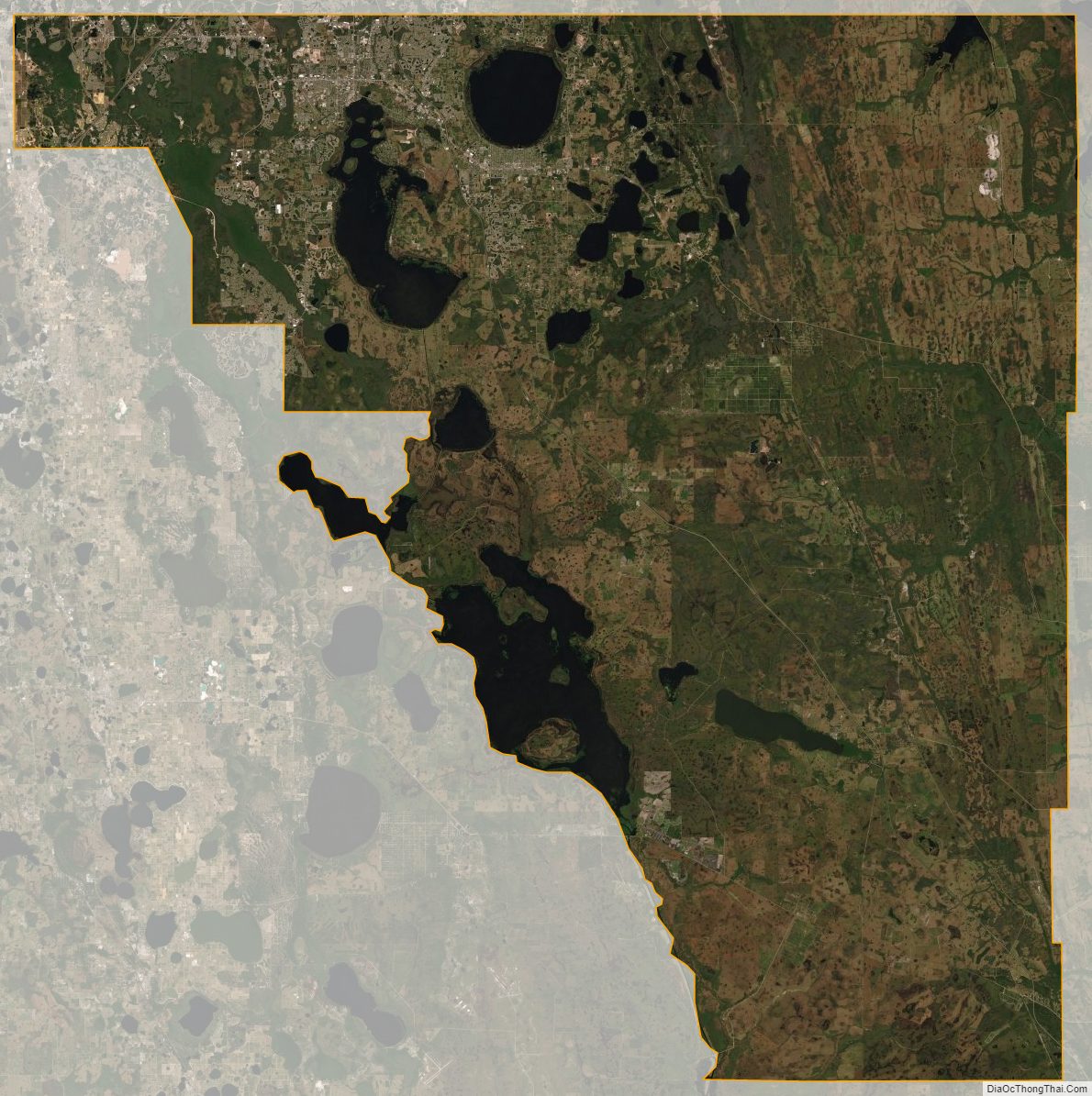
Osceola County Satellite Map
Osceola County Outline Map