Four Corners, also known as Citrus Ridge, is an unincorporated suburban community and census-designated place (CDP) in the U.S. state of Florida, located near the borders of Lake, Orange, Osceola, and Polk counties. Its population was 56,381 at the 2020 census, up from 26,116 at the 2010 census.
The Lake, Orange, and Osceola County portions of Four Corners are part of the Orlando–Kissimmee–Sanford, Florida Metropolitan Statistical Area, while the Polk County portion is part of the Lakeland–Winter Haven Metropolitan Statistical Area.
| Name: | Four Corners CDP |
|---|---|
| LSAD Code: | 57 |
| LSAD Description: | CDP (suffix) |
| State: | Florida |
| County: | Lake County, Orange County, Osceola County, Polk County |
| Elevation: | 115 ft (35 m) |
| Total Area: | 50.96 sq mi (131.99 km²) |
| Land Area: | 47.54 sq mi (123.12 km²) |
| Water Area: | 3.42 sq mi (8.87 km²) |
| Total Population: | 56,381 |
| Population Density: | 1,186.04/sq mi (457.93/km²) |
| ZIP code: | 33897, 34714, 34747, 34787 |
| FIPS code: | 1224581 |
| GNISfeature ID: | 2402506 |
Online Interactive Map
Click on ![]() to view map in "full screen" mode.
to view map in "full screen" mode.
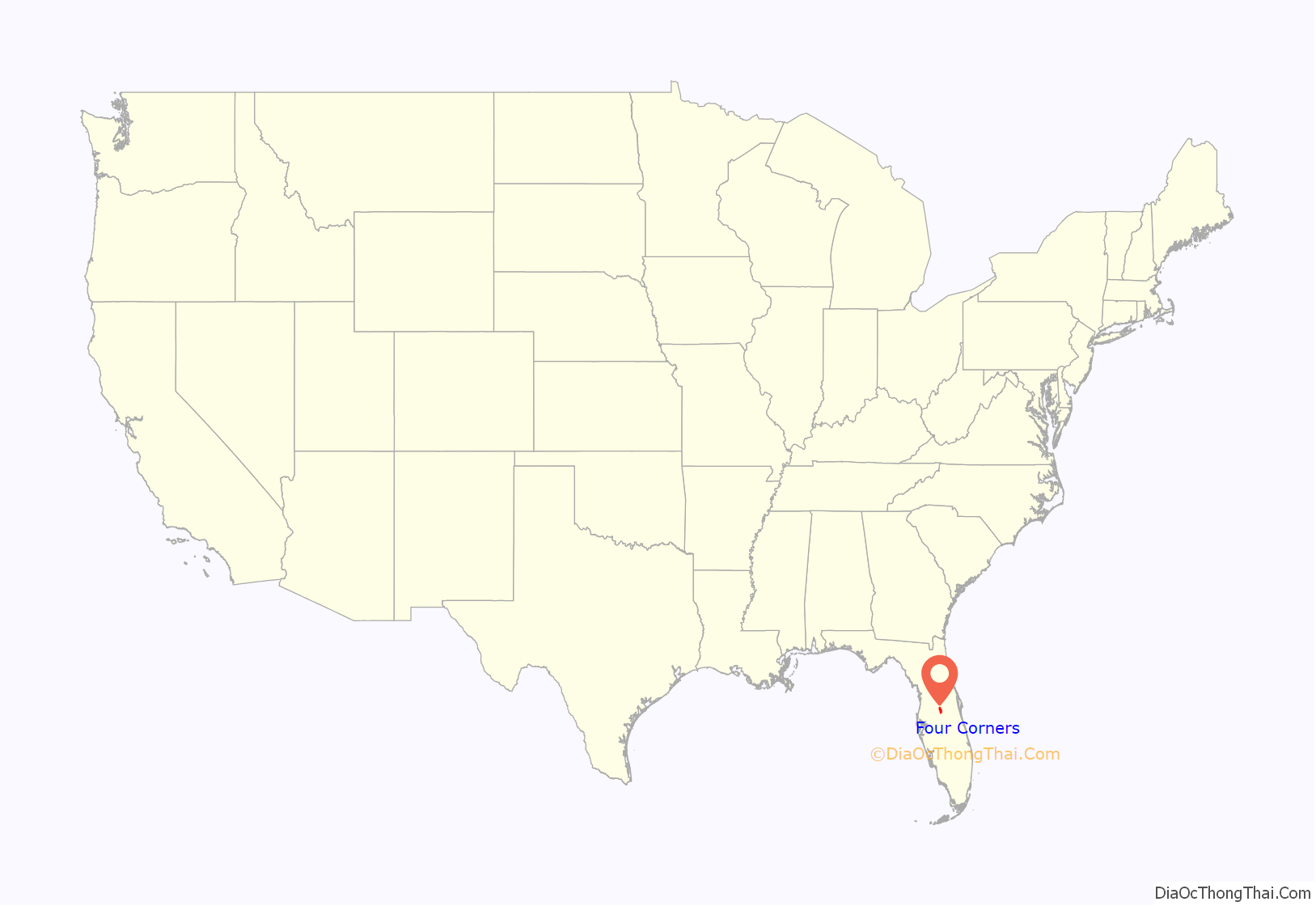
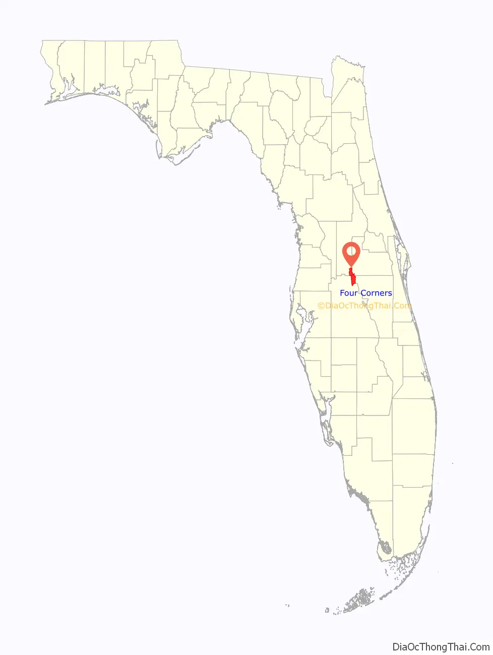
Four Corners location map. Where is Four Corners CDP?
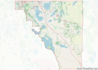
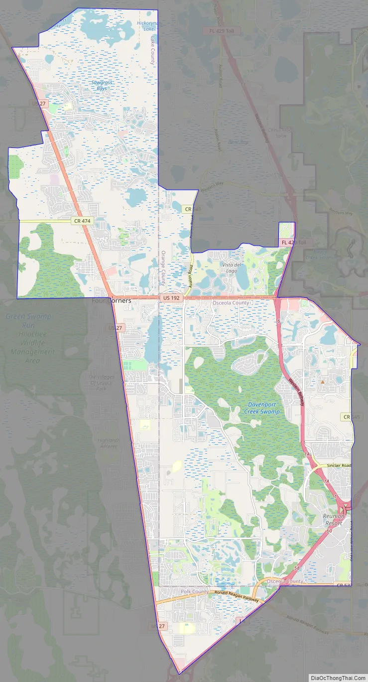
Four Corners Road Map
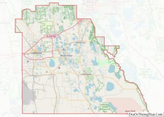
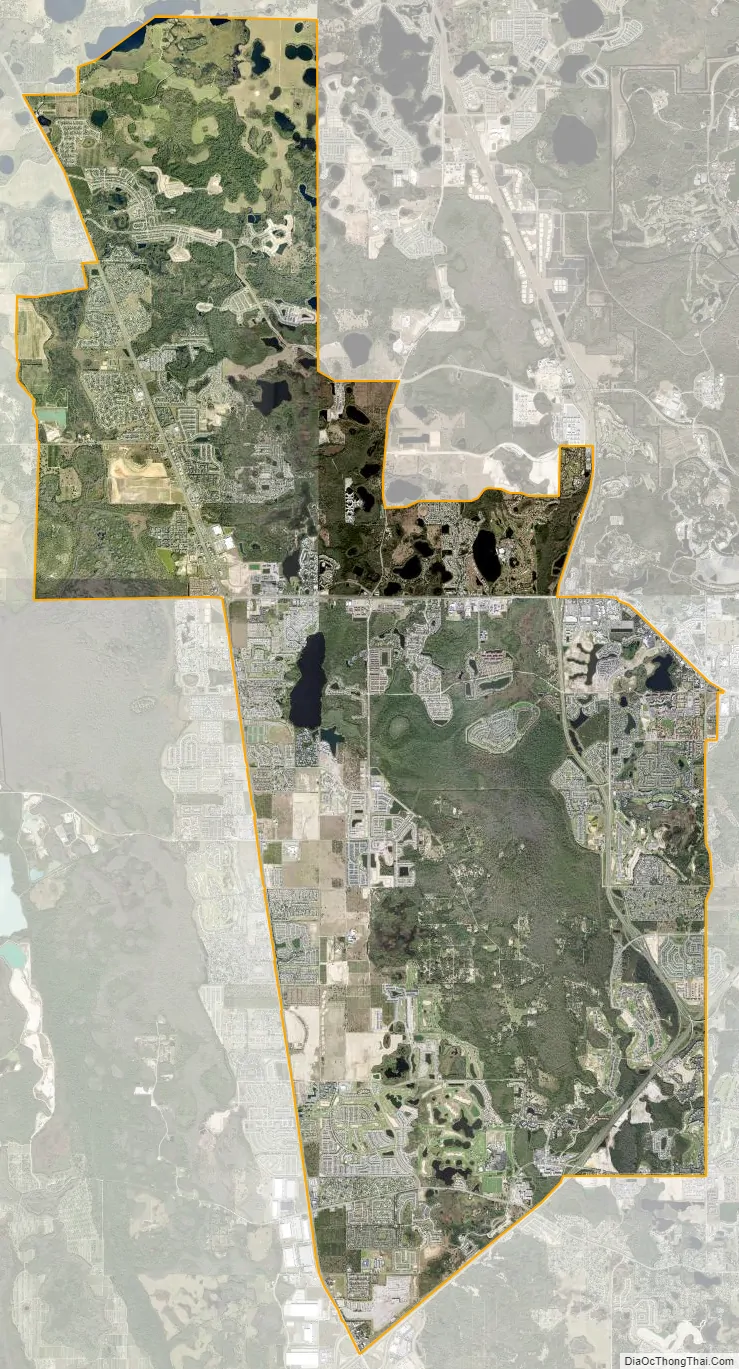
Four Corners city Satellite Map
Geography
Four Corners is located at the four-way intersection of the Lake, Orange, Osceola, and Polk County borders near the center of the CDP. Neighboring communities are Horizon West and Bay Lake to the northeast, Celebration to the east, and Loughman to the southeast. It is 25 miles (40 km) southwest of Orlando and 37 miles (60 km) northeast of Lakeland.
According to the United States Census Bureau, the Four Corners CDP has a total area of 50.8 square miles (131.7 km), of which 47.4 square miles (122.8 km) are land and 3.4 square miles (8.9 km), or 6.74%, are water.
The Census-drawn boundaries for the area include Interstate 4 along part of the southern border and U.S. Route 27 along part of the western border. The Western Beltway (Florida State Road 429) travels through the eastern portion of the CDP. Areas outside the CDP that are sometimes considered part of Four Corners include north along US 27 to Lake Louisa State Park (4 miles north of US 192), south along US 27 to Heart of Florida Hospital (3 miles south of I-4), west to SR 33, and east to Walt Disney World Resort and Celebration. Four Corners is the only community in Florida to be located in four counties.
Splendid China was a theme park in Four Corners. It opened in 1993, closed on December 31, 2003, and sat abandoned for 10 years after that. Splendid China Florida cost $100 million to build. It was a 75-acre (30 ha) miniature park with more than 60 replicas at one-tenth scale. Margaritaville Resort opened on the former Splendid China site, with resort homes, condos and timeshares in a Jimmy Buffett-themed setting. In the summer of 2019, the Sunset Walk restaurants and shops opened next to the Margaritaville Resort. Radio Margaritaville broadcasts from the Margaritaville Resort.
See also
Map of Florida State and its subdivision:- Alachua
- Baker
- Bay
- Bradford
- Brevard
- Broward
- Calhoun
- Charlotte
- Citrus
- Clay
- Collier
- Columbia
- Desoto
- Dixie
- Duval
- Escambia
- Flagler
- Franklin
- Gadsden
- Gilchrist
- Glades
- Gulf
- Hamilton
- Hardee
- Hendry
- Hernando
- Highlands
- Hillsborough
- Holmes
- Indian River
- Jackson
- Jefferson
- Lafayette
- Lake
- Lee
- Leon
- Levy
- Liberty
- Madison
- Manatee
- Marion
- Martin
- Miami-Dade
- Monroe
- Nassau
- Okaloosa
- Okeechobee
- Orange
- Osceola
- Palm Beach
- Pasco
- Pinellas
- Polk
- Putnam
- Saint Johns
- Saint Lucie
- Santa Rosa
- Sarasota
- Seminole
- Sumter
- Suwannee
- Taylor
- Union
- Volusia
- Wakulla
- Walton
- Washington
- Alabama
- Alaska
- Arizona
- Arkansas
- California
- Colorado
- Connecticut
- Delaware
- District of Columbia
- Florida
- Georgia
- Hawaii
- Idaho
- Illinois
- Indiana
- Iowa
- Kansas
- Kentucky
- Louisiana
- Maine
- Maryland
- Massachusetts
- Michigan
- Minnesota
- Mississippi
- Missouri
- Montana
- Nebraska
- Nevada
- New Hampshire
- New Jersey
- New Mexico
- New York
- North Carolina
- North Dakota
- Ohio
- Oklahoma
- Oregon
- Pennsylvania
- Rhode Island
- South Carolina
- South Dakota
- Tennessee
- Texas
- Utah
- Vermont
- Virginia
- Washington
- West Virginia
- Wisconsin
- Wyoming