Poinciana (English: /pɔɪnsiˈænə/) is a settlement and census-designated place (CDP) in Osceola and Polk counties in the U.S. state of Florida. It lies southwest of Kissimmee and approximately 14 miles (23 km) east of Haines City. As of the 2010 United States Census, the CDP had a population of 53,193.
As of April 2012 the population of the 9 villages which make up the Association of Poinciana Villages (APV), which covers a wider area than the CDP, was reported as 69,857. According to the latest census reports the adjoining tracts outside the CDP represent an additional 29,914 persons. Depending on the definition, the greater Poinciana Area represents a population of between 53,193 and 83,107. This puts Poinciana as one of the fastest growth areas for Central Florida over the past decade.
| Name: | Poinciana CDP |
|---|---|
| LSAD Code: | 57 |
| LSAD Description: | CDP (suffix) |
| State: | Florida |
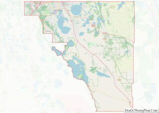
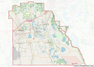
| County: | Osceola County, Polk County |
| Elevation: | 62 ft (19 m) |
| Total Area: | 72.94 sq mi (188.91 km²) |
| Land Area: | 71.87 sq mi (186.14 km²) |
| Water Area: | 1.07 sq mi (2.77 km²) |
| Total Population: | 69,309 |
| Population Density: | 964.41/sq mi (372.36/km²) |
| ZIP code: | 34758, 34759 |
| Area code: | 407, 689, 321, 863 |
| FIPS code: | 1257900 |
| GNISfeature ID: | 2403432 |
Online Interactive Map
Click on ![]() to view map in "full screen" mode.
to view map in "full screen" mode.
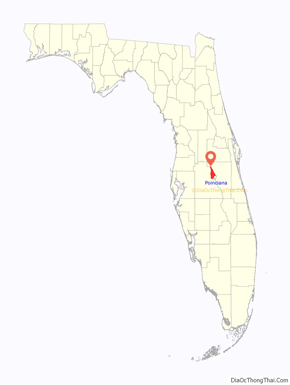
Poinciana location map. Where is Poinciana CDP?

History
Poinciana was planned in the 1960s. The original developer was Gulf American Corporation. Poinciana was conceived as a retirement destination, and the first homes were built in 1973 around the Poinciana Golf and Racquet Club. Since the mid-1980s the developer has been AV Homes (formerly Avatar Holdings). By 1994 the population had only risen to about 8,000, but since then growth has been rapid. By June 7, 2018, Taylor Morrison Homes, Inc announces its agreement to Acquire AV Homes, Inc at $21.90 per share.
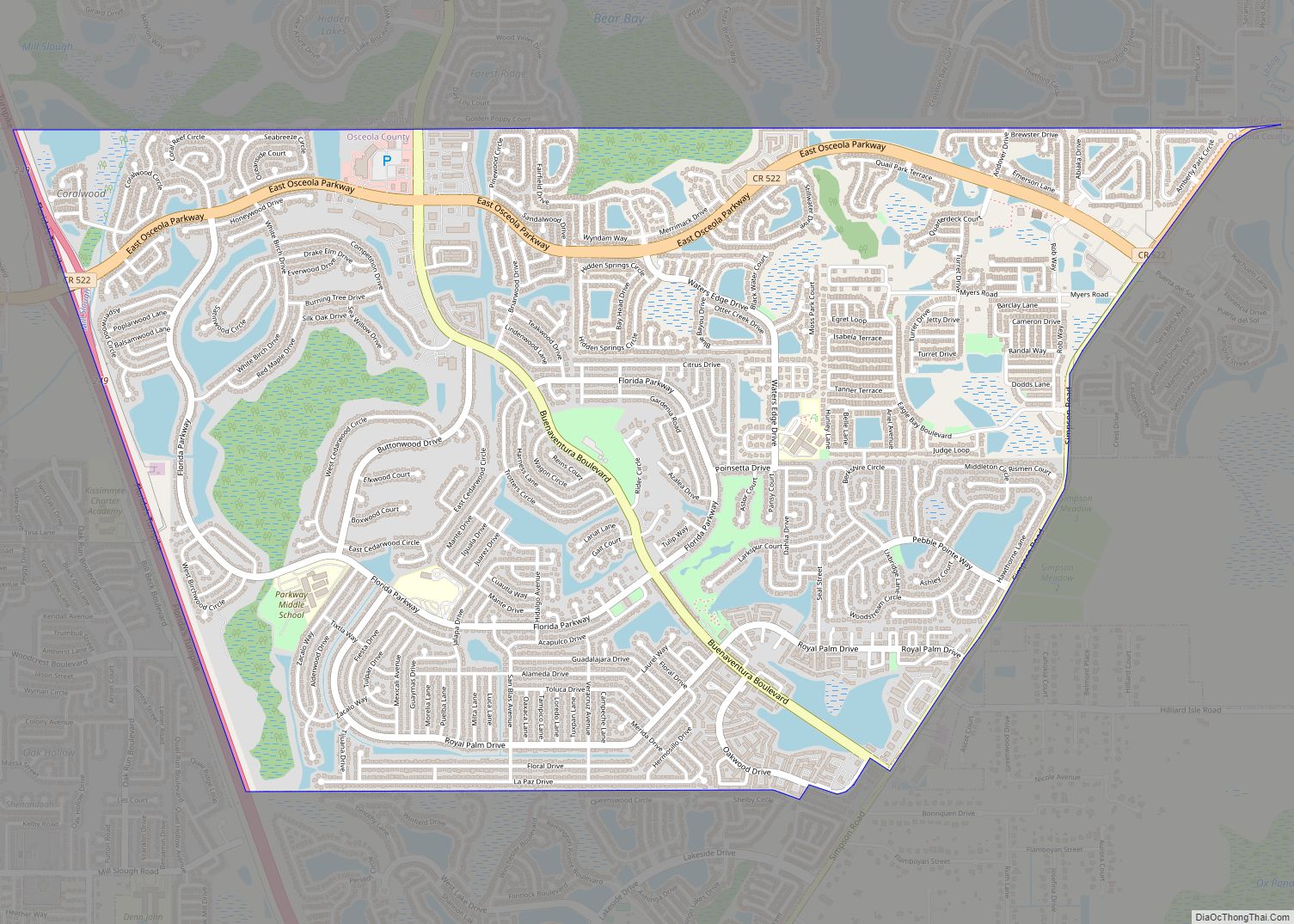
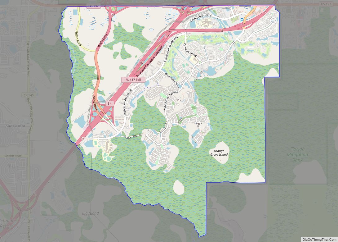
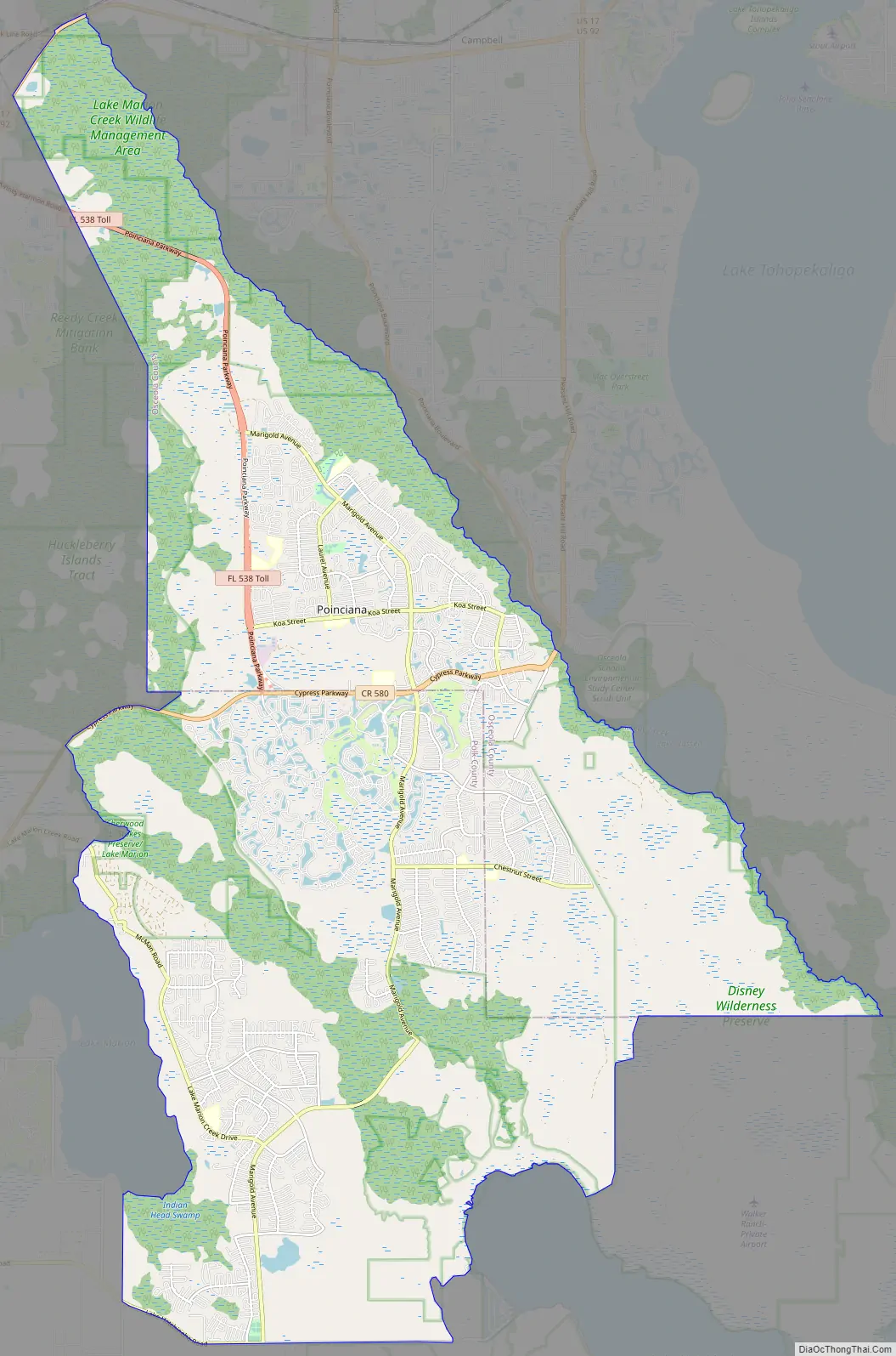
Poinciana Road Map
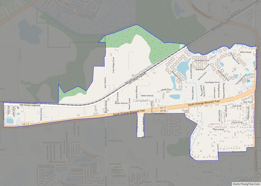
Poinciana city Satellite Map

Geography
According to the United States Census Bureau, the CDP has a total area of 35.3 square miles (91 km), of which 35.1 square miles (91 km) is land and 0.2 square miles (0.52 km), or 0.68%, is water.
Subdivisions
Poinciana was planned as a Planned Unit Development (PUD). Most of the PUD was developed in 10 Villages with each being their own sub association and corporation duly recorded with the State of Florida Corporation, which form the Association of Poinciana Villages (APV) Master Association. Four of the villages are in Osceola County (Village 1 with Cypress Woods and Stepping Stone, Villages 2, 5 and Village 9 (Broadmoor – mobile home park) and six Villages 3, 4, 6, 7 and 8) are in Polk County. Located on approximately 47,000 acres (190 km), the sub-villages are their own association under a deed-restricted community, governed by a Master homeowner association, the APV. Solivita is no longer under the APV Master Association (Village 10), it was removed by the APV Executive Committee on November 2, 2011, one of the Villages within Polk County, it is a 55+ gated community. and comprises two Community Development Districts, Poinciana CDD and Poinciana West CDD.
Neighbor subdivisions such as Waterford, Little Creek, Brighton Lakes, Oak Hammock Preserve, Crescent Lakes, Trafalgar, Doral, Isles of Bellalago, Cypress Cove, Deerwood, Wilderness, Bellalago, etc. are outside the CDP. Many of these subdivisions were defined in the original Poinciana boundary PUD but some were later developed as separate communities outside the APV.
See also
Map of Florida State and its subdivision:- Alachua
- Baker
- Bay
- Bradford
- Brevard
- Broward
- Calhoun
- Charlotte
- Citrus
- Clay
- Collier
- Columbia
- Desoto
- Dixie
- Duval
- Escambia
- Flagler
- Franklin
- Gadsden
- Gilchrist
- Glades
- Gulf
- Hamilton
- Hardee
- Hendry
- Hernando
- Highlands
- Hillsborough
- Holmes
- Indian River
- Jackson
- Jefferson
- Lafayette
- Lake
- Lee
- Leon
- Levy
- Liberty
- Madison
- Manatee
- Marion
- Martin
- Miami-Dade
- Monroe
- Nassau
- Okaloosa
- Okeechobee
- Orange
- Osceola
- Palm Beach
- Pasco
- Pinellas
- Polk
- Putnam
- Saint Johns
- Saint Lucie
- Santa Rosa
- Sarasota
- Seminole
- Sumter
- Suwannee
- Taylor
- Union
- Volusia
- Wakulla
- Walton
- Washington
- Alabama
- Alaska
- Arizona
- Arkansas
- California
- Colorado
- Connecticut
- Delaware
- District of Columbia
- Florida
- Georgia
- Hawaii
- Idaho
- Illinois
- Indiana
- Iowa
- Kansas
- Kentucky
- Louisiana
- Maine
- Maryland
- Massachusetts
- Michigan
- Minnesota
- Mississippi
- Missouri
- Montana
- Nebraska
- Nevada
- New Hampshire
- New Jersey
- New Mexico
- New York
- North Carolina
- North Dakota
- Ohio
- Oklahoma
- Oregon
- Pennsylvania
- Rhode Island
- South Carolina
- South Dakota
- Tennessee
- Texas
- Utah
- Vermont
- Virginia
- Washington
- West Virginia
- Wisconsin
- Wyoming