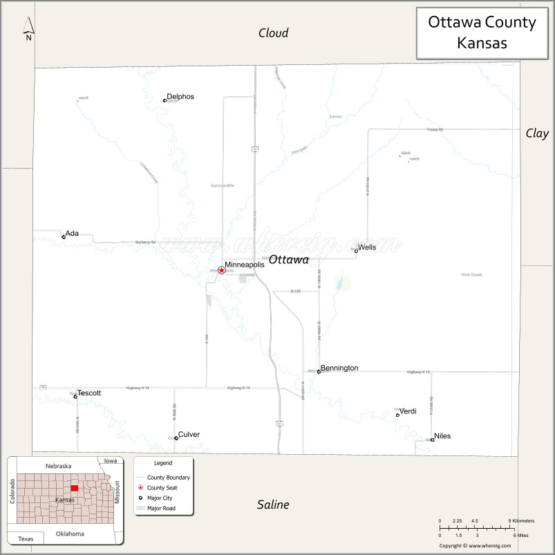
| Name: | Ottawa County |
|---|---|
| FIPS code: | 20-143 |
| State: | Kansas |
| Founded: | February 27, 1860 |
| Named for: | Odawa tribe |
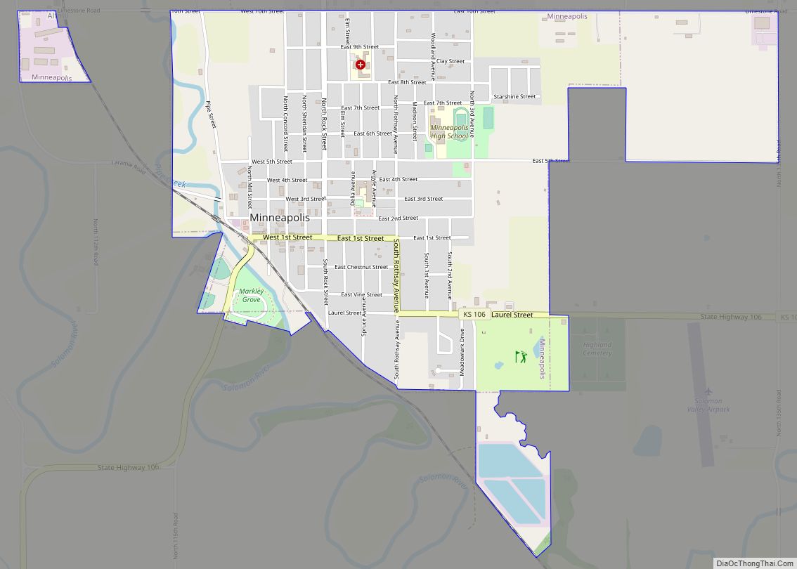
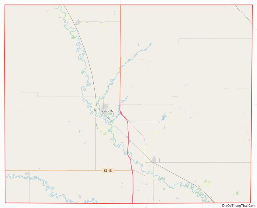
| Seat: | Minneapolis |
| Largest city: | Minneapolis |
| Total Area: | 721 sq mi (1,870 km²) |
| Land Area: | 721 sq mi (1,870 km²) |
| Total Population: | 5,735 |
| Population Density: | 8.0/sq mi (3.1/km²) |
| Time zone: | UTC−6 (Central) |
| Summer Time Zone (DST): | UTC−5 (CDT) |
| Website: | ottawacounty.org |
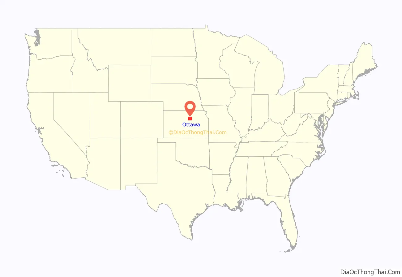
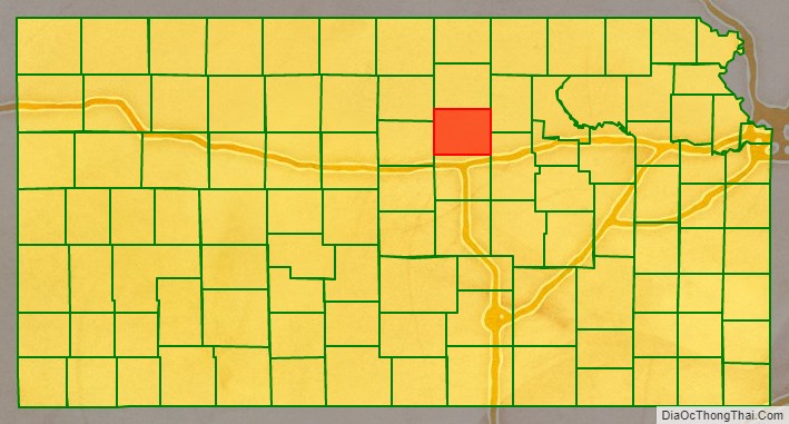
Ottawa County location map. Where is Ottawa County?
History
Early history
For many millennia, the Great Plains of North America was inhabited by nomadic Native Americans. From the 16th century to 18th century, the Kingdom of France claimed ownership of large parts of North America. In 1762, after the French and Indian War, France secretly ceded New France to Spain, per the Treaty of Fontainebleau.
19th century
In 1802, Spain returned most of the land to France, but keeping title to about 7,500 square miles. In 1803, most of the land for modern day Kansas was acquired by the United States from France as part of the 828,000 square mile Louisiana Purchase for 2.83 cents per acre.
In 1854, the Kansas Territory was organized, then in 1861 Kansas became the 34th U.S. state. In 1860, Ottawa County was established.
20th century
Following amendment to the Kansas Constitution in 1986, Ottawa County remained a prohibition, or dry county until 2006, when voters approved the sale of alcoholic liquor by the individual drink with a 30% food sales requirement.
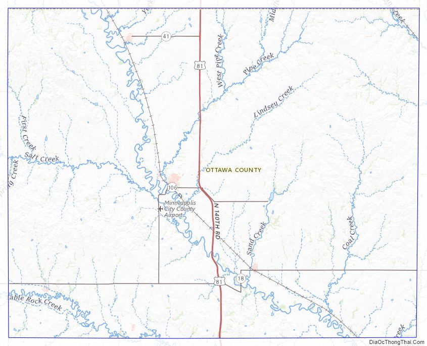
Ottawa County Road Map
Geography
According to the U.S. Census Bureau, the county has a total area of 721 square miles (1,870 km), of which 721 square miles (1,870 km) is land and 0.6 square miles (1.6 km) (0.08%) is water.
Features
The Solomon River is the longest river in the county, entering from Cloud County to the northwest and exiting to Saline County to the southeast. The Saline River traverses the southwestern portion of the county, going from Lincoln County to Saline County.
The largest lake is Ottawa State Fishing Lake, a 111-acre (0.45 km) reservoir to the east of Minneapolis. It is managed by the Kansas Department of Wildlife and Parks.
Adjacent counties
- Cloud County (north)
- Clay County (northeast)
- Dickinson County (southeast)
- Saline County (south)
- Lincoln County (west)
- Mitchell County (northwest)
Ottawa County Topographic Map
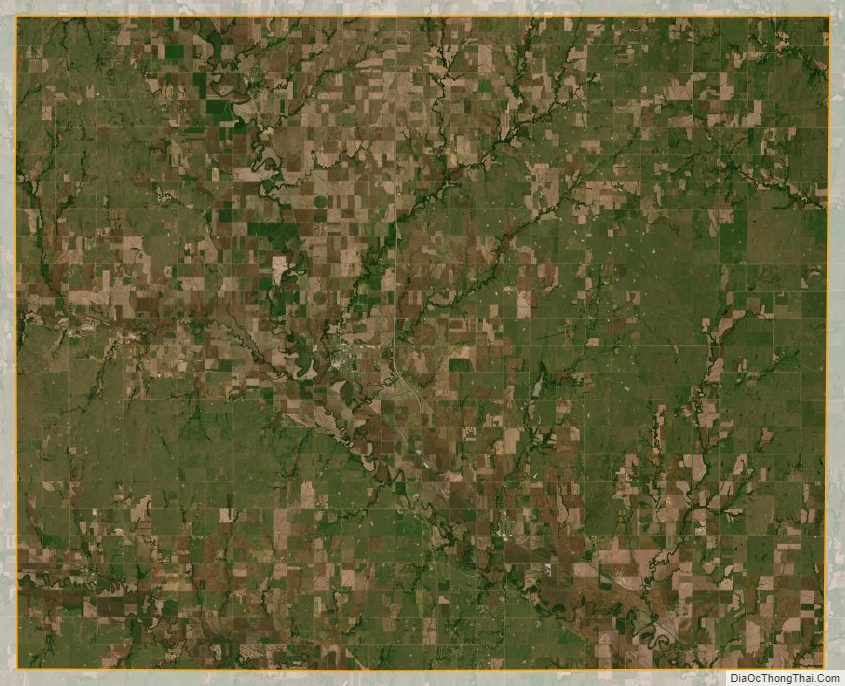
Ottawa County Satellite Map
Ottawa County Outline Map