Minneapolis is a city in and the county seat of Ottawa County, Kansas, United States. As of the 2020 census, the population of the city was 1,946.
| Name: | Minneapolis city |
|---|---|
| LSAD Code: | 25 |
| LSAD Description: | city (suffix) |
| State: | Kansas |
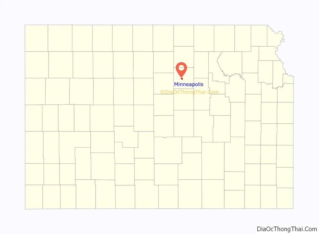
| County: | Ottawa County |
| Founded: | 1860s |
| Incorporated: | 1871 |
| Elevation: | 1,276 ft (389 m) |
| Total Area: | 1.83 sq mi (4.75 km²) |
| Land Area: | 1.83 sq mi (4.75 km²) |
| Water Area: | 0.00 sq mi (0.00 km²) |
| Total Population: | 1,946 |
| Population Density: | 1,100/sq mi (410/km²) |
| ZIP code: | 67467 |
| Area code: | 785 |
| FIPS code: | 2047075 |
| Website: | minneapolis-ks.com |
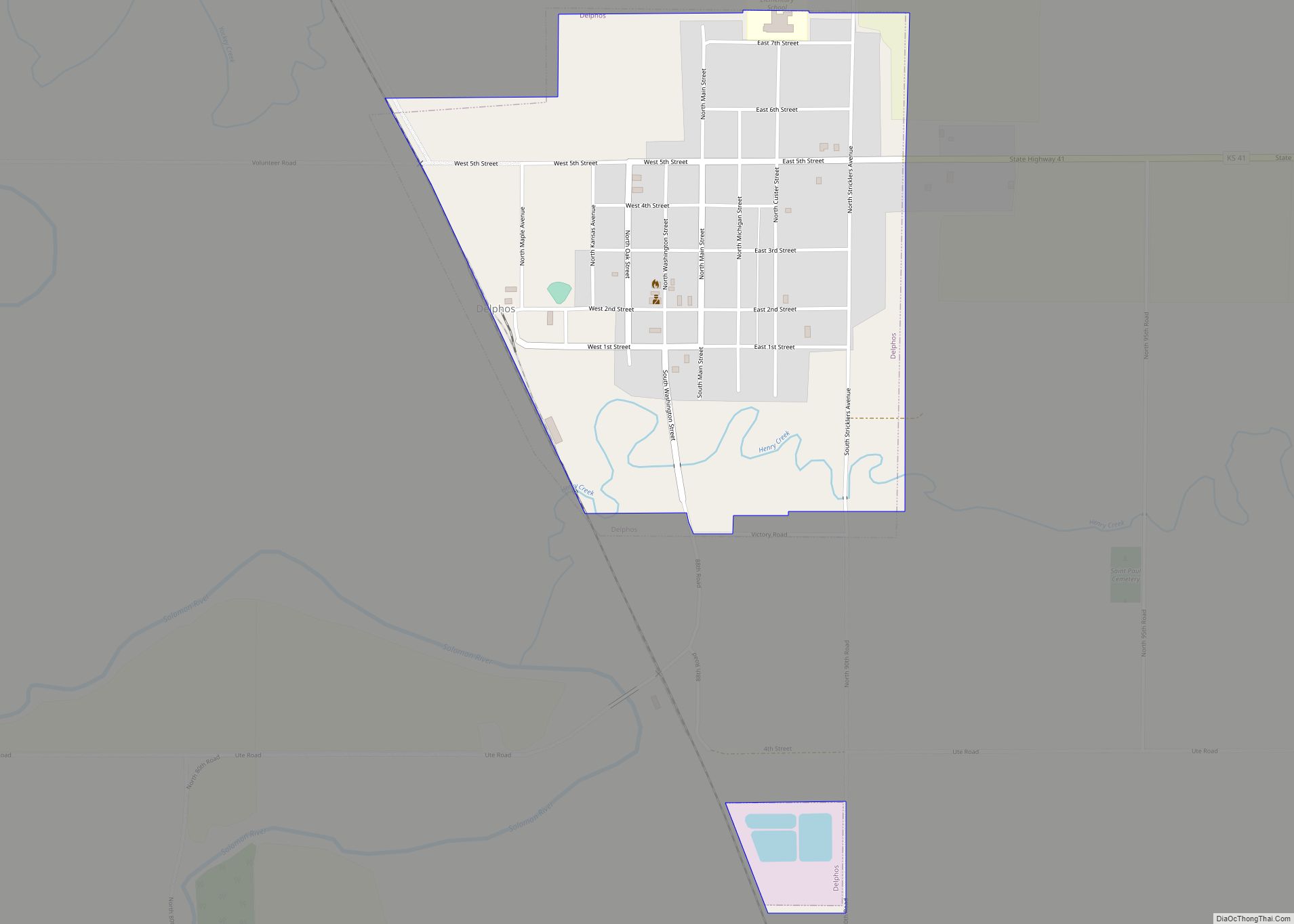
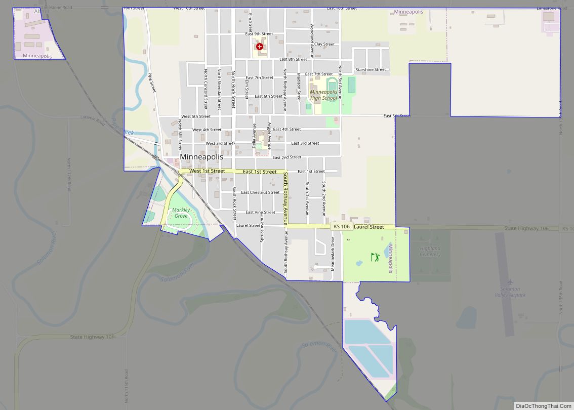
Online Interactive Map
Click on ![]() to view map in "full screen" mode.
to view map in "full screen" mode.
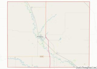
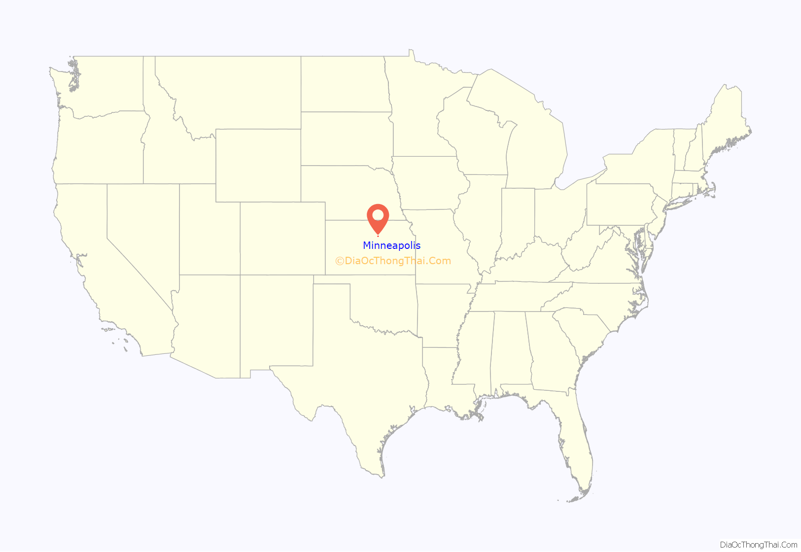
Minneapolis location map. Where is Minneapolis city?
History
The community was originally called Markley’s Mills, and under the latter name was laid out in 1866. It was renamed Minneapolis about 1871, after Minneapolis, Minnesota. The railroad was built through Minneapolis in 1878.
Minneapolis had its own minor league baseball team called the Minnies in 1905, then from 1908 to 1909, and again in 1912, alternately as part of the Kansas State League or Central Kansas League.
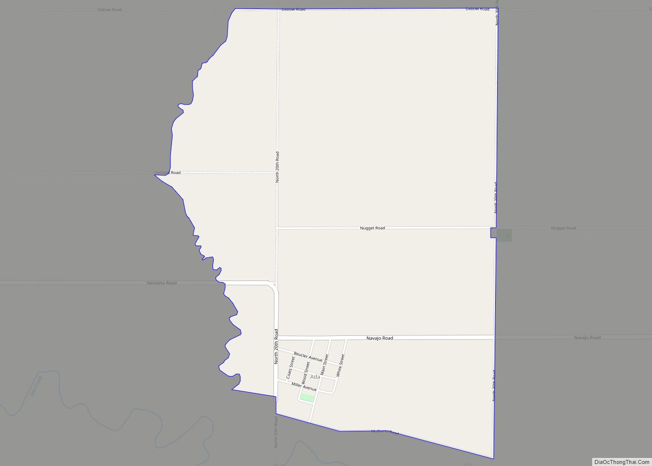
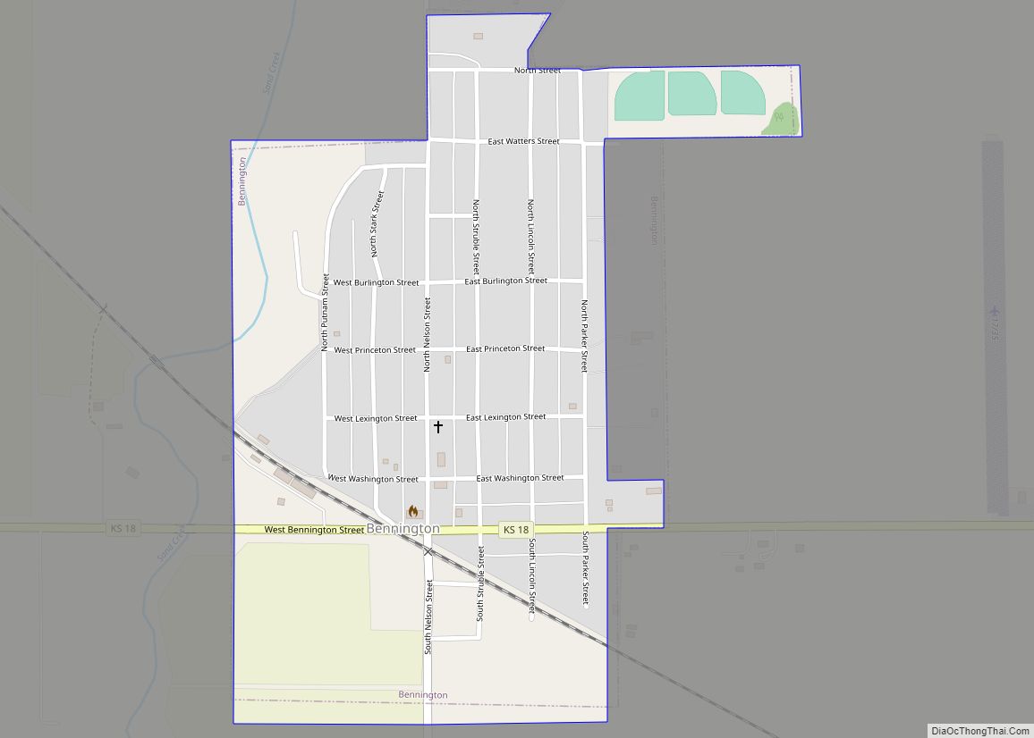
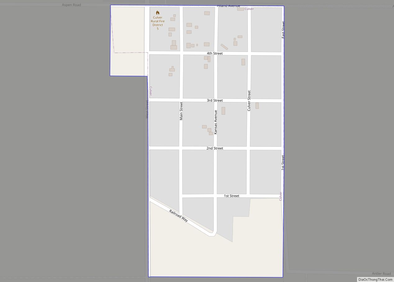
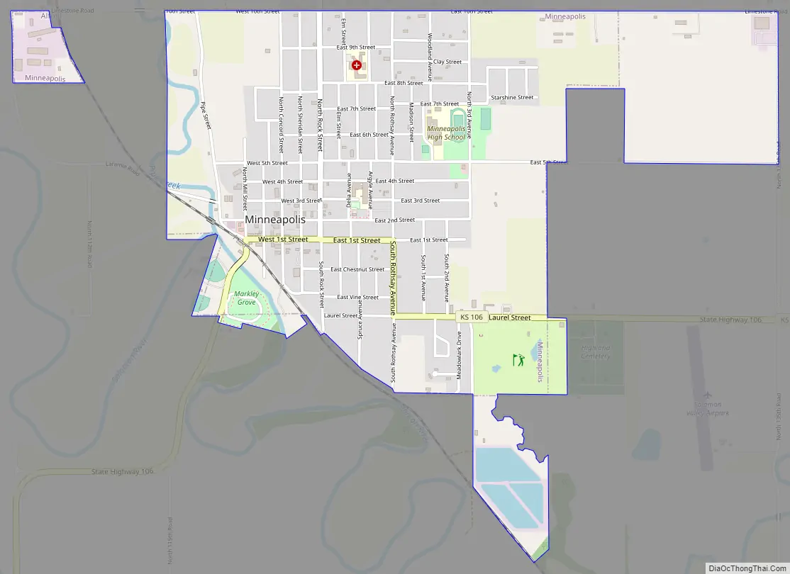
Minneapolis Road Map
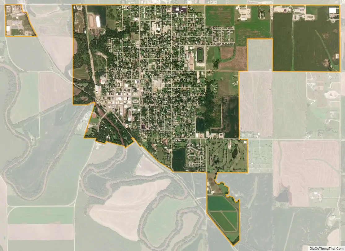
Minneapolis city Satellite Map
Geography
Minneapolis is located at 39°7′29″N 97°42′19″W / 39.12472°N 97.70528°W / 39.12472; -97.70528 (39.124719, -97.705209). According to the United States Census Bureau, the city has a total area of 1.76 square miles (4.56 km), all of it land.
See also
Map of Kansas State and its subdivision:- Allen
- Anderson
- Atchison
- Barber
- Barton
- Bourbon
- Brown
- Butler
- Chase
- Chautauqua
- Cherokee
- Cheyenne
- Clark
- Clay
- Cloud
- Coffey
- Comanche
- Cowley
- Crawford
- Decatur
- Dickinson
- Doniphan
- Douglas
- Edwards
- Elk
- Ellis
- Ellsworth
- Finney
- Ford
- Franklin
- Geary
- Gove
- Graham
- Grant
- Gray
- Greeley
- Greenwood
- Hamilton
- Harper
- Harvey
- Haskell
- Hodgeman
- Jackson
- Jefferson
- Jewell
- Johnson
- Kearny
- Kingman
- Kiowa
- Labette
- Lane
- Leavenworth
- Lincoln
- Linn
- Logan
- Lyon
- Marion
- Marshall
- McPherson
- Meade
- Miami
- Mitchell
- Montgomery
- Morris
- Morton
- Nemaha
- Neosho
- Ness
- Norton
- Osage
- Osborne
- Ottawa
- Pawnee
- Phillips
- Pottawatomie
- Pratt
- Rawlins
- Reno
- Republic
- Rice
- Riley
- Rooks
- Rush
- Russell
- Saline
- Scott
- Sedgwick
- Seward
- Shawnee
- Sheridan
- Sherman
- Smith
- Stafford
- Stanton
- Stevens
- Sumner
- Thomas
- Trego
- Wabaunsee
- Wallace
- Washington
- Wichita
- Wilson
- Woodson
- Wyandotte
- Alabama
- Alaska
- Arizona
- Arkansas
- California
- Colorado
- Connecticut
- Delaware
- District of Columbia
- Florida
- Georgia
- Hawaii
- Idaho
- Illinois
- Indiana
- Iowa
- Kansas
- Kentucky
- Louisiana
- Maine
- Maryland
- Massachusetts
- Michigan
- Minnesota
- Mississippi
- Missouri
- Montana
- Nebraska
- Nevada
- New Hampshire
- New Jersey
- New Mexico
- New York
- North Carolina
- North Dakota
- Ohio
- Oklahoma
- Oregon
- Pennsylvania
- Rhode Island
- South Carolina
- South Dakota
- Tennessee
- Texas
- Utah
- Vermont
- Virginia
- Washington
- West Virginia
- Wisconsin
- Wyoming