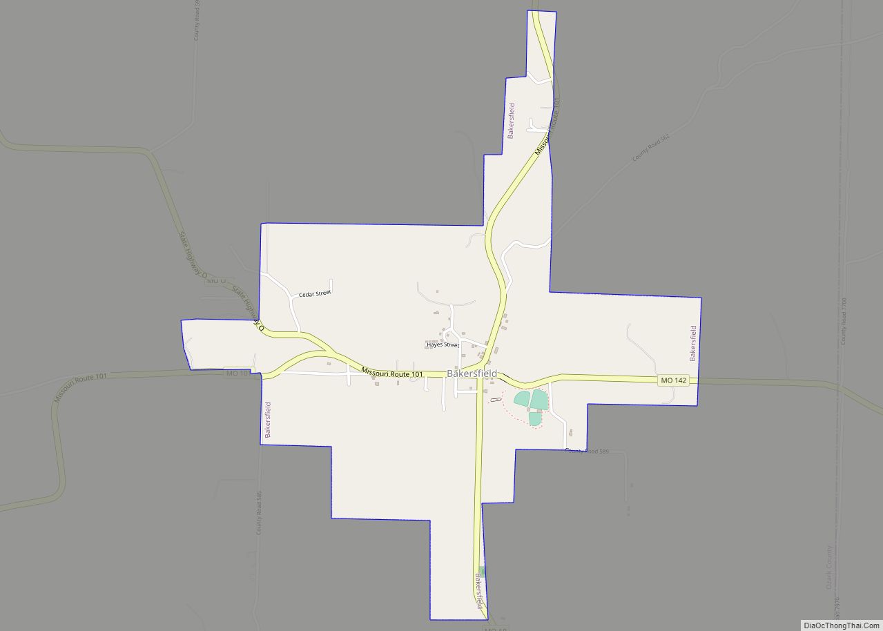
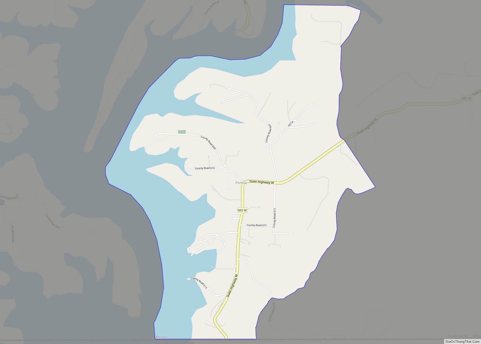
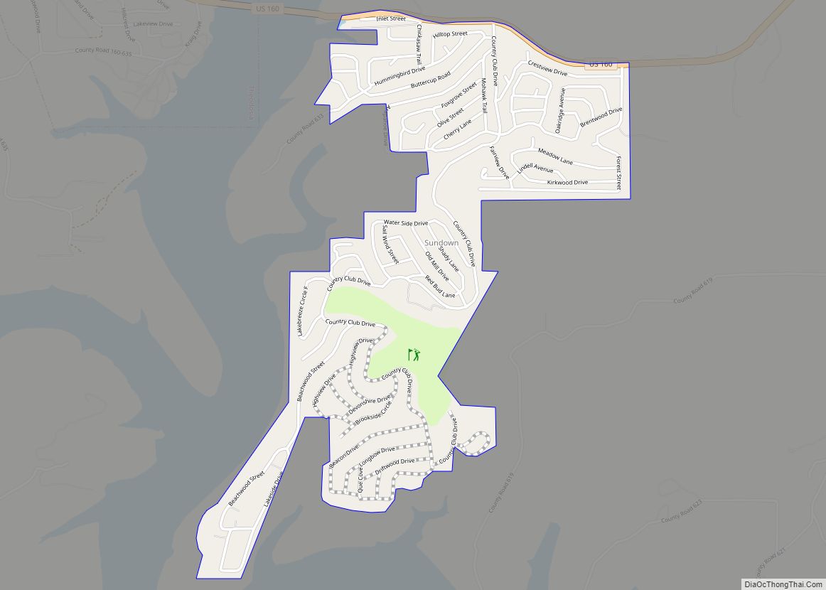
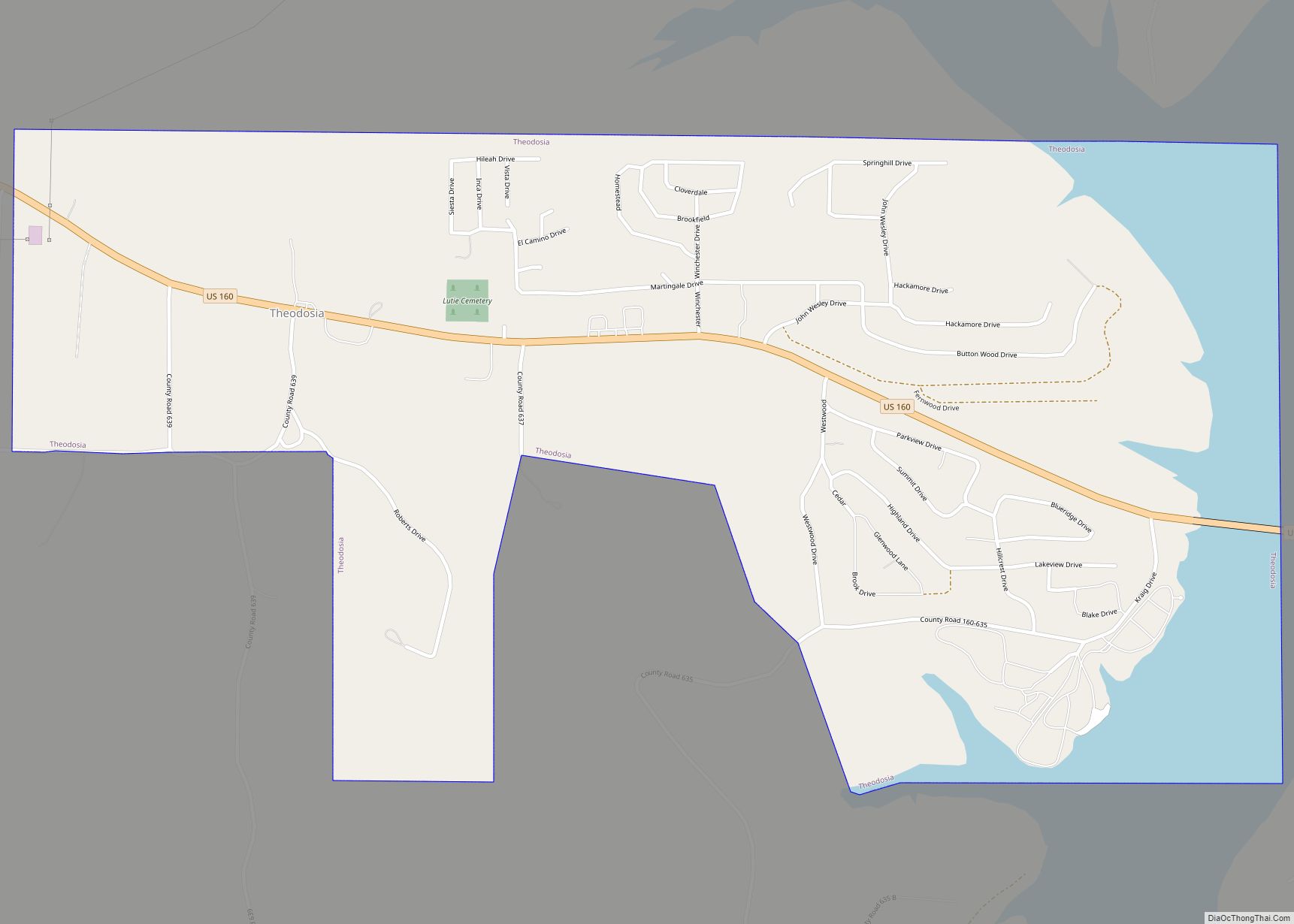
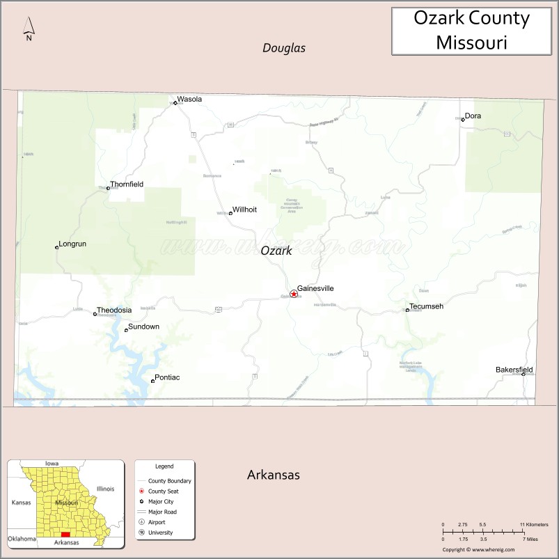
Ozark County is a county located in the southern portion of the U.S. state of Missouri. As of the 2020 census, the population was 8,553. The largest city and county seat is Gainesville. The county was organized as Ozark County, named after the Ozark Mountains, on January 29, 1841. It was renamed Decatur County, after Commodore Stephen Decatur, from 1843 to 1845, after which the name Ozark County was restored.
| Name: | Ozark County |
|---|---|
| FIPS code: | 29-153 |
| State: | Missouri |
| Founded: | January 29, 1841 |
| Named for: | Ozark Mountains |
| Seat: | Gainesville |
| Largest city: | Gainesville |
| Total Area: | 755 sq mi (1,960 km²) |
| Land Area: | 745 sq mi (1,930 km²) |
| Total Population: | 8,553 |
| Population Density: | 11/sq mi (4.4/km²) |
| Time zone: | UTC−6 (Central) |
| Summer Time Zone (DST): | UTC−5 (CDT) |
| Website: | www.mogenweb.org/ozark/ |
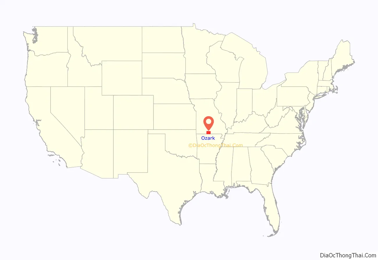
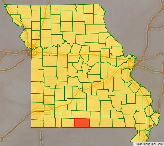
Ozark County location map. Where is Ozark County?
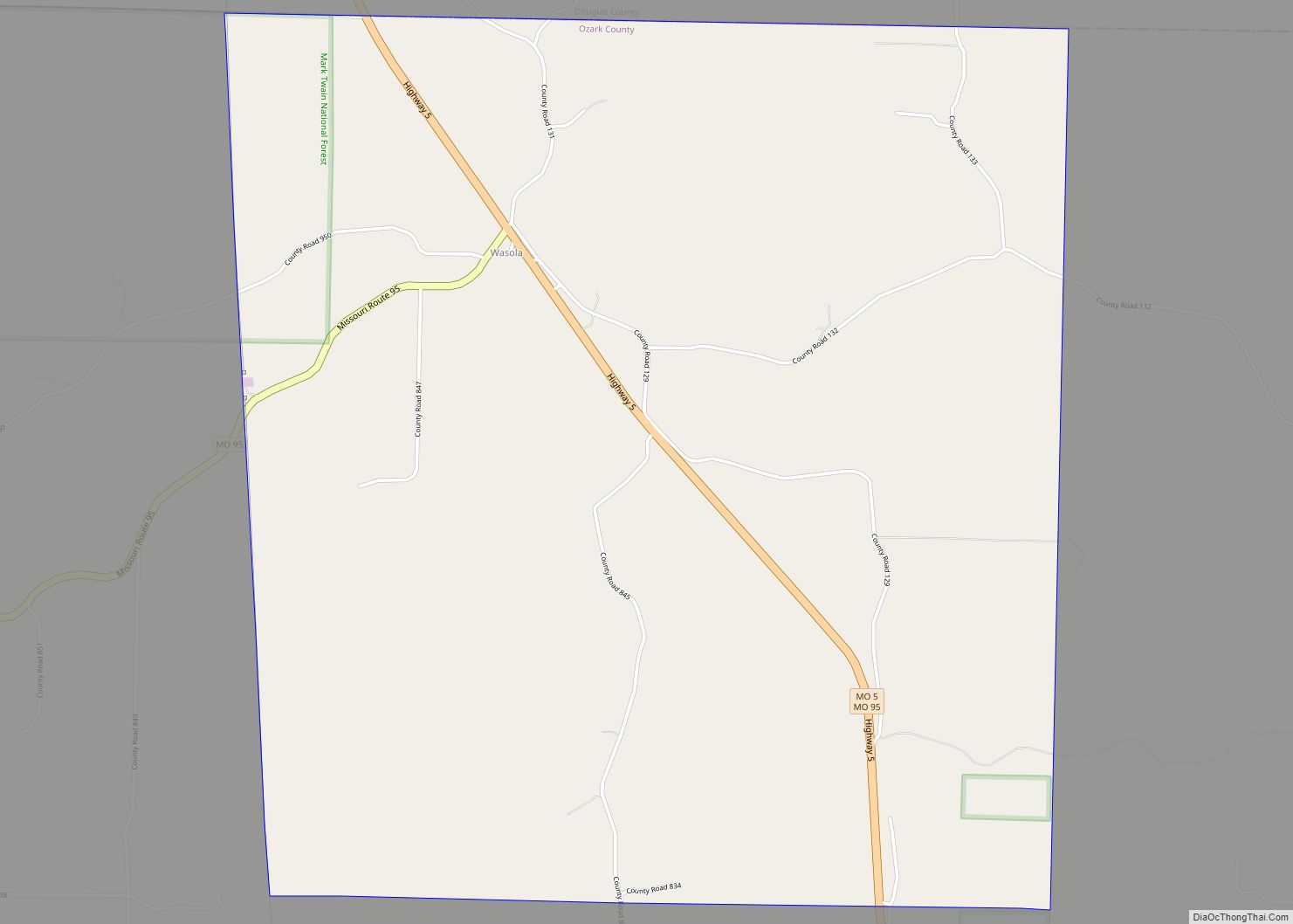
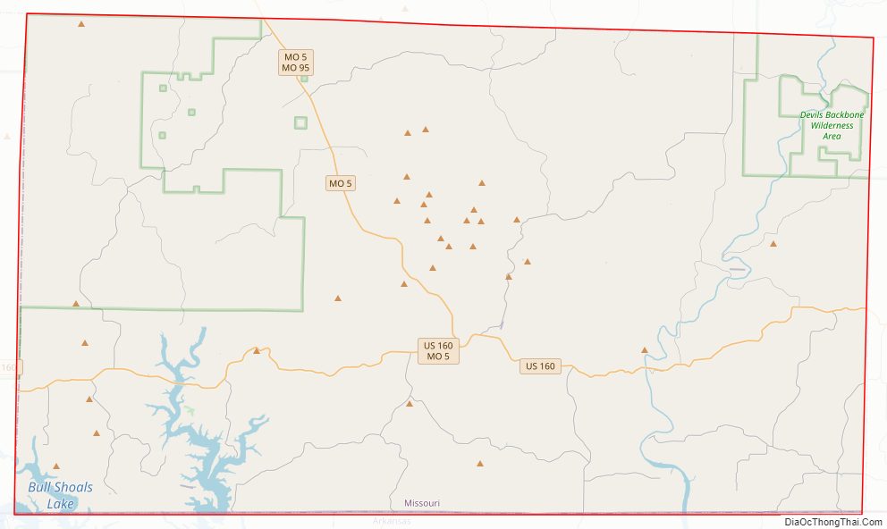
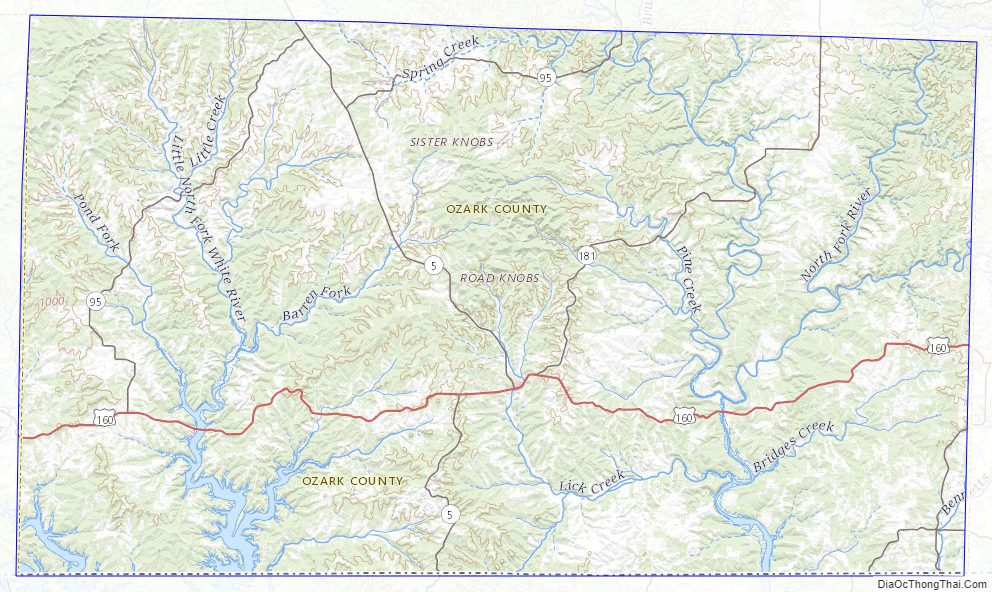
Ozark County Road Map
Geography
According to the U.S. Census Bureau, the county has a total area of 755 square miles (1,960 km), of which 745 square miles (1,930 km) is land and 10 square miles (26 km) (1.4%) is water. Arkansas is located to the south of Ozark County.
Adjacent counties
- Douglas County (north)
- Howell County (east)
- Fulton County, Arkansas (southeast)
- Baxter County, Arkansas (south)
- Marion County, Arkansas (southwest)
- Taney County (west)
- U.S. Route 160
- Route 5
- Route 95
- Route 142
- Route 181
National protected area
- Mark Twain National Forest (part)
Ozark County Topographic Map
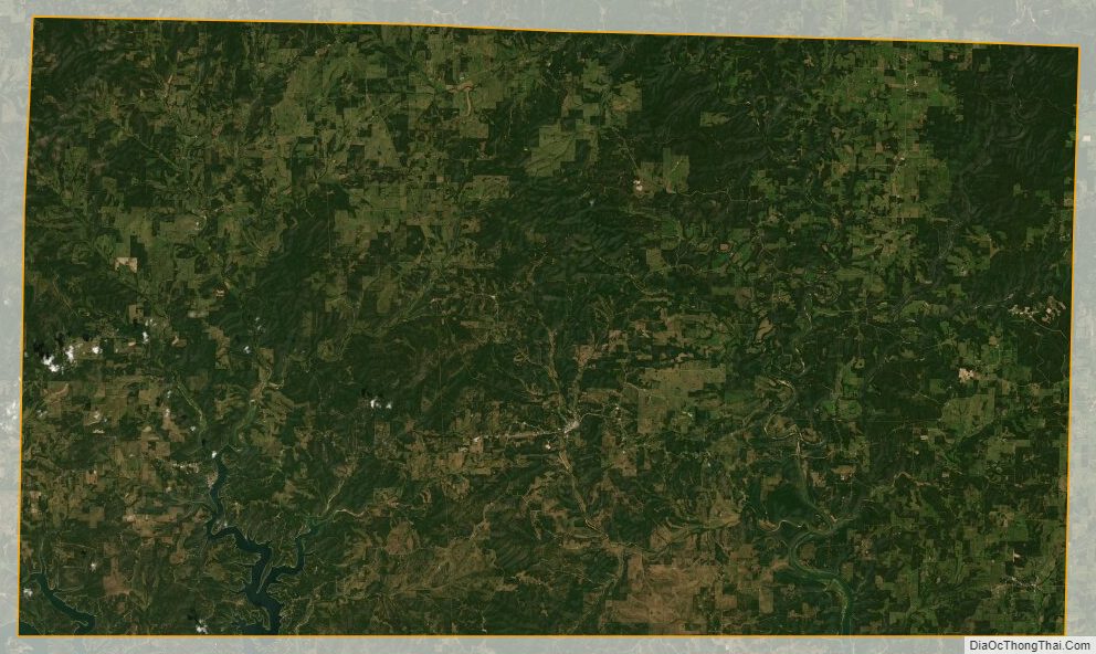
Ozark County Satellite Map
Ozark County Outline Map