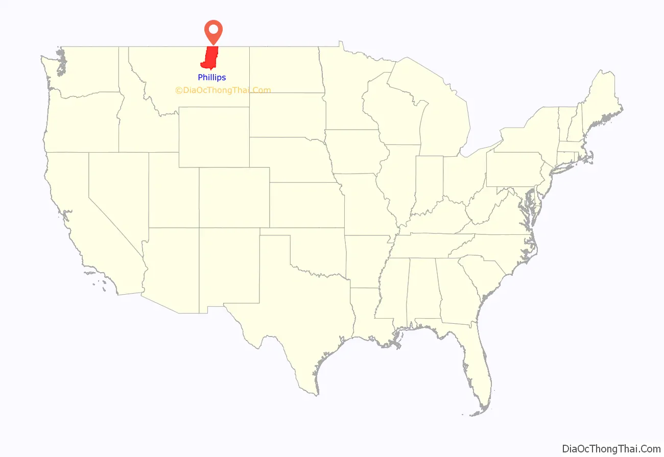
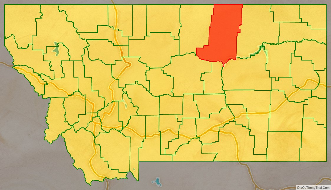
Phillips County is a county in the U.S. state of Montana. As of the 2020 census, the population was 4,217. Its county seat is Malta. Before February 5, 1915, Phillips County was part of Blaine County, and before 1912 both were part of Chouteau County. It was named for rancher and state senator Benjamin D. Phillips.
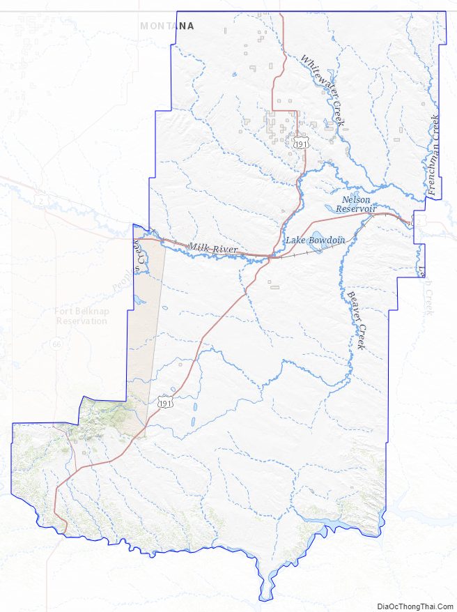
Its northern boundary is the Canada–United States border with Saskatchewan. The Missouri River defines its southern boundary.
| Name: | Phillips County |
|---|---|
| FIPS code: | 30-071 |
| State: | Montana |
| Founded: | February 5, 1915 |
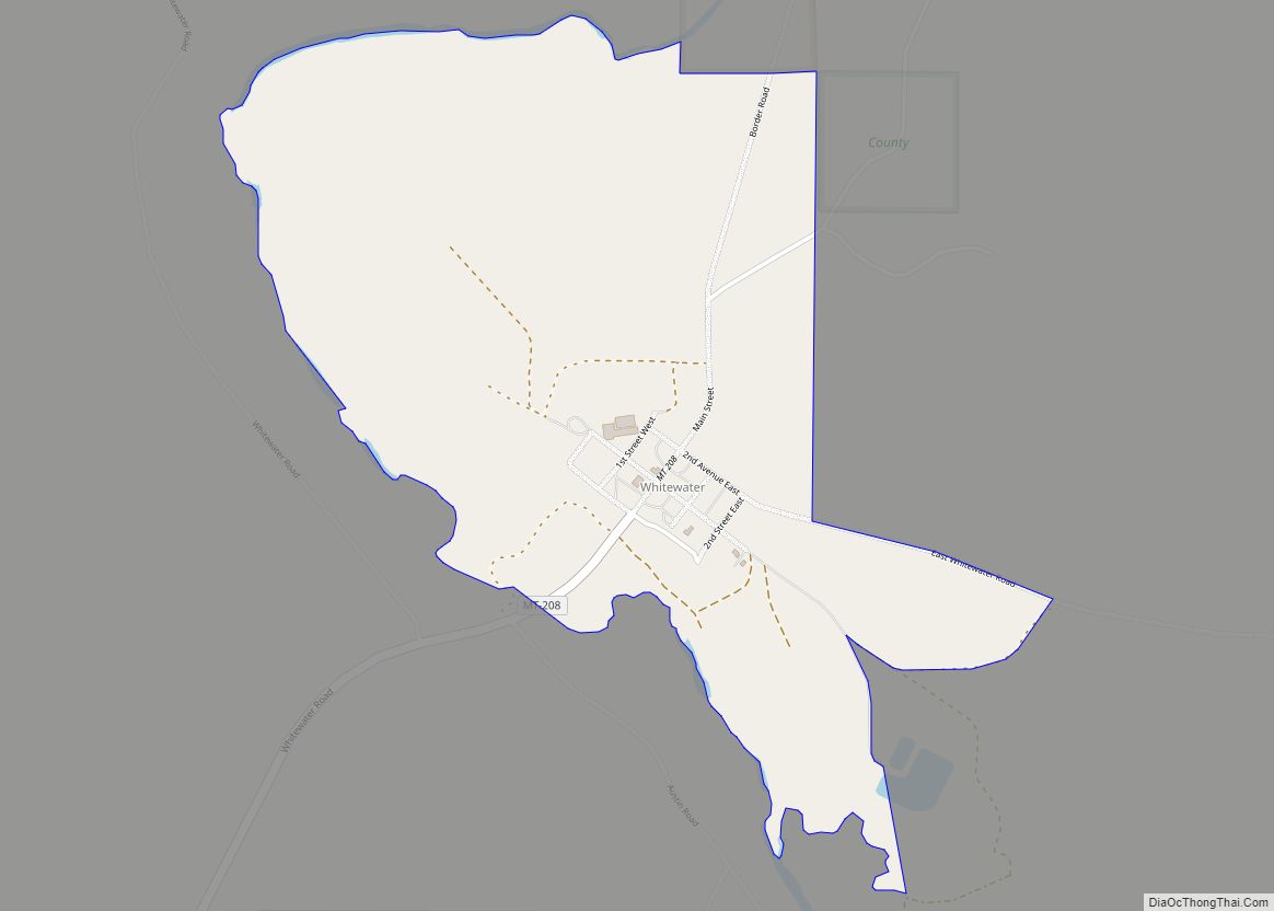
| Seat: | Malta |
| Largest city: | Malta |
| Total Area: | 5,212 sq mi (13,500 km²) |
| Land Area: | 5,140 sq mi (13,300 km²) |
| Total Population: | 4,217 |
| Population Density: | 0.81/sq mi (0.31/km²) |
| Time zone: | UTC−7 (Mountain) |
| Summer Time Zone (DST): | UTC−6 (MDT) |
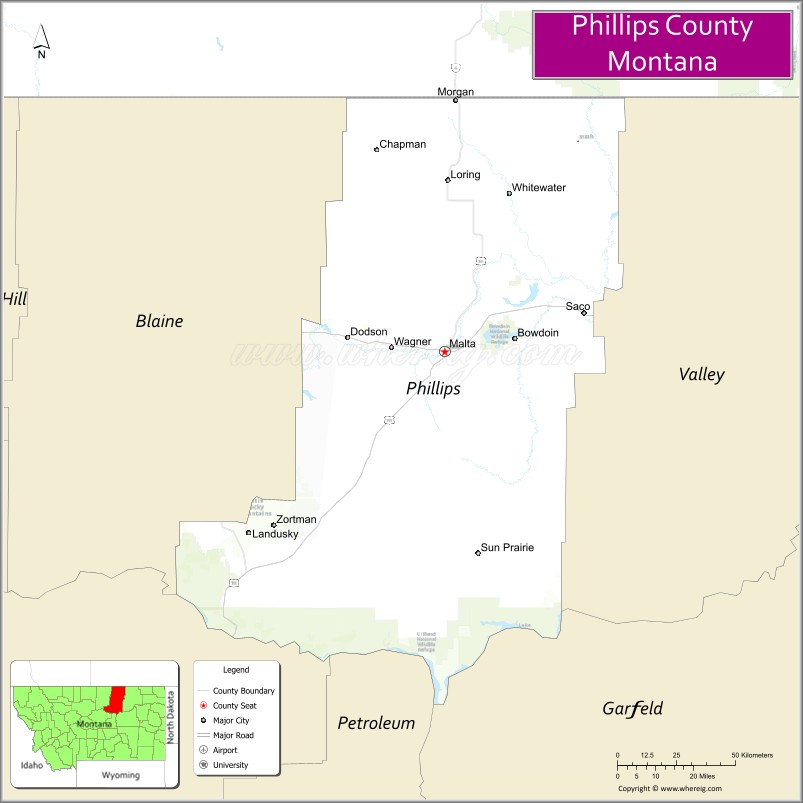
Phillips County location map. Where is Phillips County?
Phillips County Road Map
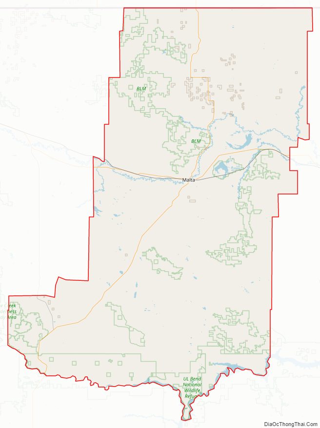
Geography
According to the United States Census Bureau, the county has a total area of 5,212 square miles (13,500 km), of which 5,140 square miles (13,300 km) is land and 72 square miles (190 km) (1.4%) is water. It is the second-largest county in Montana by land area and third-largest by total area.
Adjacent counties and rural municipalities
- Blaine County – west
- Fergus County – southwest
- Petroleum County – south
- Garfield County – southeast
- Valley County – east
- Rural Municipality (RM) of Lone Tree No. 18, Saskatchewan (SK) – north
- RM of Val Marie No. 17, SK – north
- RM of Mankota No. 45, SK – northeast
National protected areas
- Bowdoin National Wildlife Refuge
- Charles M. Russell National Wildlife Refuge (part)
- Hewitt Lake National Wildlife Refuge
- UL Bend National Wildlife Refuge
- Upper Missouri River Breaks National Monument (part)
Phillips County Topographic Map
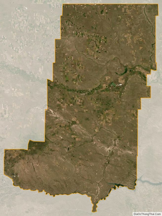
Phillips County Satellite Map
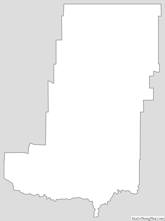
Phillips County Outline Map