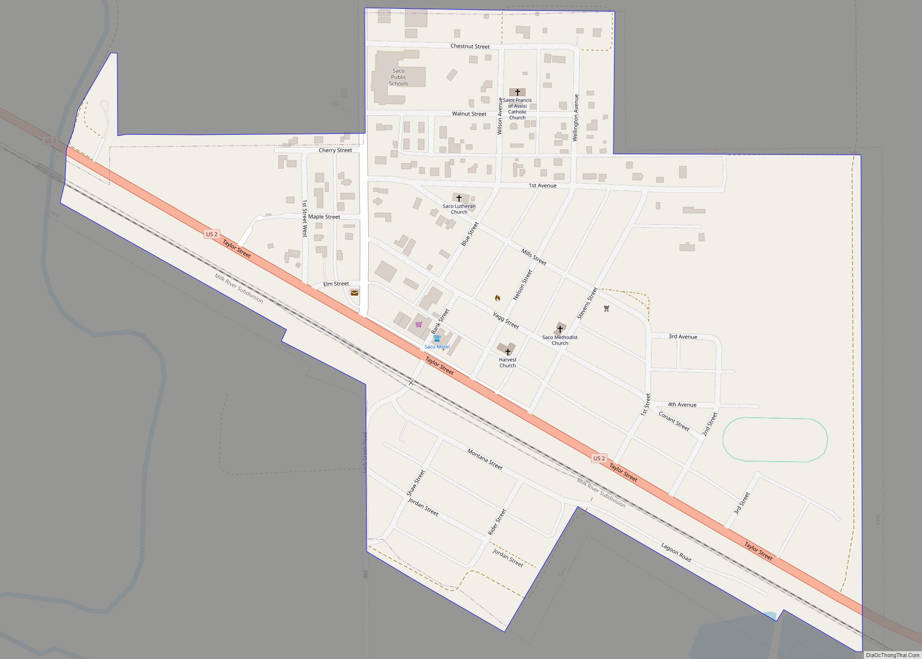
Saco is a town in Phillips County, Montana, United States. The population was 159 at the 2020 census.
| Name: | Saco town |
|---|---|
| LSAD Code: | 43 |
| LSAD Description: | town (suffix) |
| State: | Montana |
| County: | Phillips County |
| Elevation: | 2,182 ft (665 m) |
| Total Area: | 0.30 sq mi (0.79 km²) |
| Land Area: | 0.30 sq mi (0.79 km²) |
| Water Area: | 0.00 sq mi (0.00 km²) |
| Total Population: | 159 |
| Population Density: | 523.03/sq mi (201.97/km²) |
| ZIP code: | 59261 |
| Area code: | 406 |
| FIPS code: | 3065050 |
| GNISfeature ID: | 0776059 |
| Website: | www.sacomontana.net |
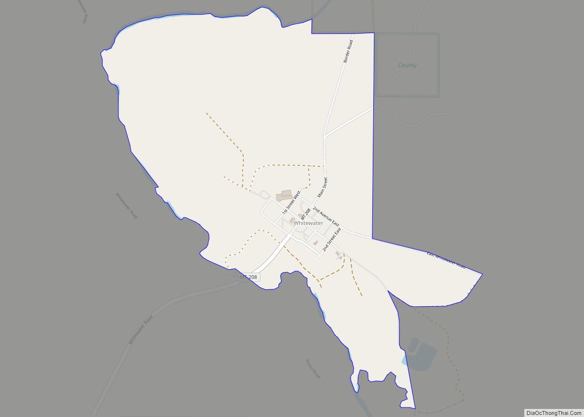
Online Interactive Map
Click on ![]() to view map in "full screen" mode.
to view map in "full screen" mode.
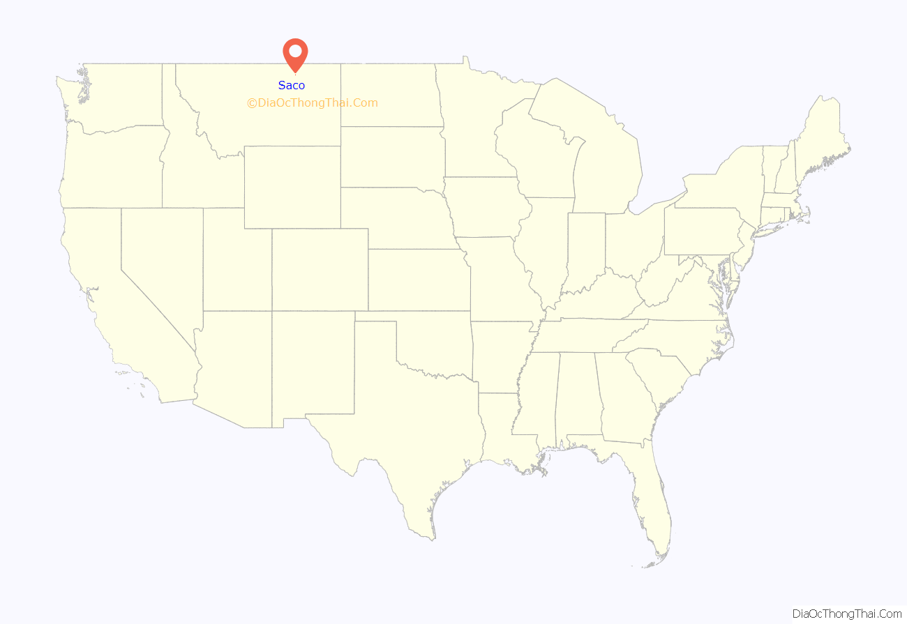
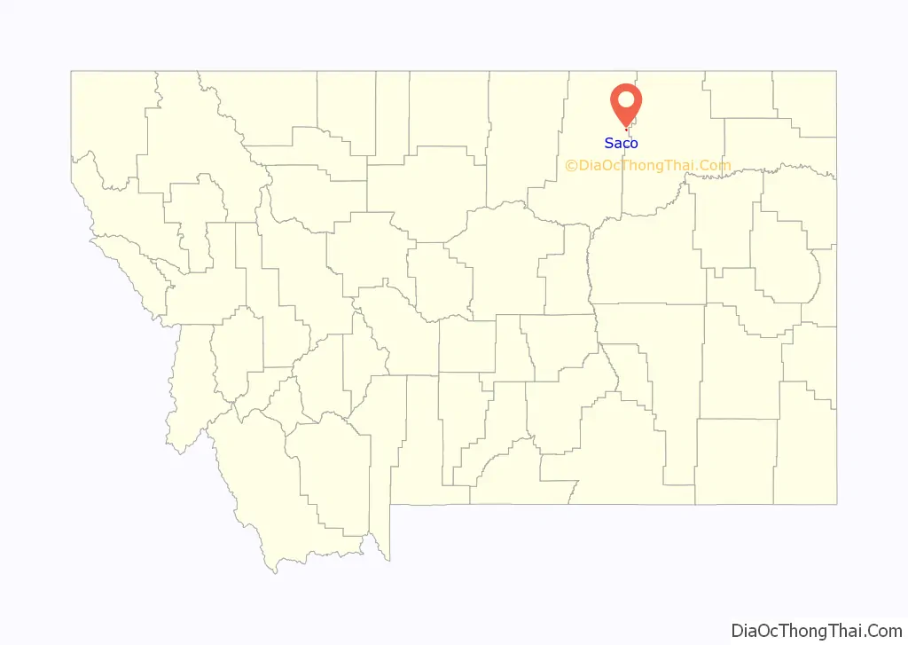
Saco location map. Where is Saco town?
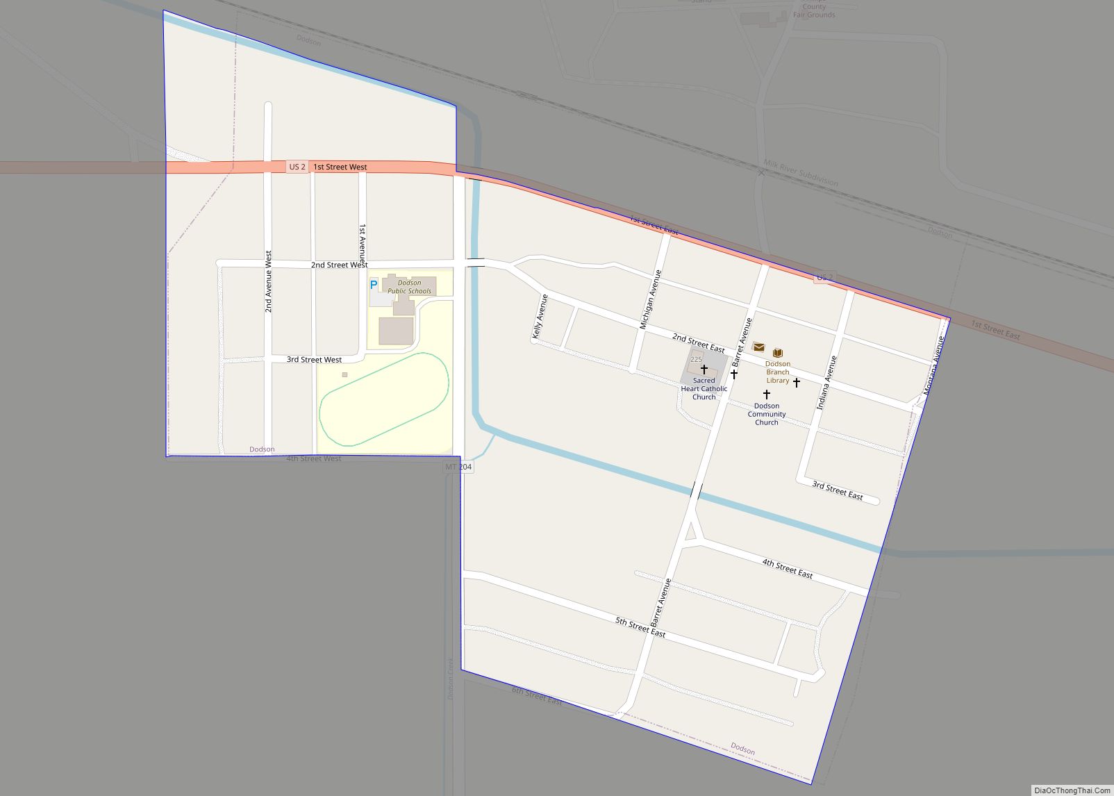
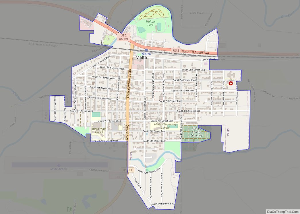
History
Faced with the task of naming hundreds of station stops along the High Line, Great Northern Railway officials resorted to “globe trotting.” According to one story, an official spun a globe and put his finger on Saco, Maine, thus giving the town its name. Another story tells that the name is a contraction of “Sacajawea.” For two years, Saco boasted the Guinness world record for making the world’s largest hamburger, building the 6,040-pound burger from the beef of 17 cattle in 1999.
Saco Road Map

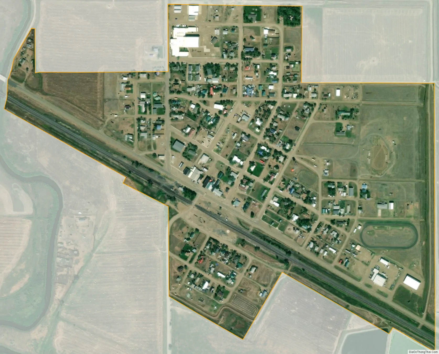
Saco city Satellite Map
Geography
Saco is located at 48°27′27″N 107°20′31″W / 48.45750°N 107.34194°W / 48.45750; -107.34194 (48.457557, -107.342030).
According to the United States Census Bureau, the town has a total area of 0.33 square miles (0.85 km), all land.
Climate
According to the Köppen Climate Classification system, Saco has a semi-arid climate, abbreviated “BSk” on climate maps.
See also
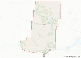
Map of Montana State and its subdivision:- Beaverhead
- Big Horn
- Blaine
- Broadwater
- Carbon
- Carter
- Cascade
- Chouteau
- Custer
- Daniels
- Dawson
- Deer Lodge
- Fallon
- Fergus
- Flathead
- Gallatin
- Garfield
- Glacier
- Golden Valley
- Granite
- Hill
- Jefferson
- Judith Basin
- Lake
- Lewis and Clark
- Liberty
- Lincoln
- Madison
- McCone
- Meagher
- Mineral
- Missoula
- Musselshell
- Park
- Petroleum
- Phillips
- Pondera
- Powder River
- Powell
- Prairie
- Ravalli
- Richland
- Roosevelt
- Rosebud
- Sanders
- Sheridan
- Silver Bow
- Stillwater
- Sweet Grass
- Teton
- Toole
- Treasure
- Valley
- Wheatland
- Wibaux
- Yellowstone
- Alabama
- Alaska
- Arizona
- Arkansas
- California
- Colorado
- Connecticut
- Delaware
- District of Columbia
- Florida
- Georgia
- Hawaii
- Idaho
- Illinois
- Indiana
- Iowa
- Kansas
- Kentucky
- Louisiana
- Maine
- Maryland
- Massachusetts
- Michigan
- Minnesota
- Mississippi
- Missouri
- Montana
- Nebraska
- Nevada
- New Hampshire
- New Jersey
- New Mexico
- New York
- North Carolina
- North Dakota
- Ohio
- Oklahoma
- Oregon
- Pennsylvania
- Rhode Island
- South Carolina
- South Dakota
- Tennessee
- Texas
- Utah
- Vermont
- Virginia
- Washington
- West Virginia
- Wisconsin
- Wyoming