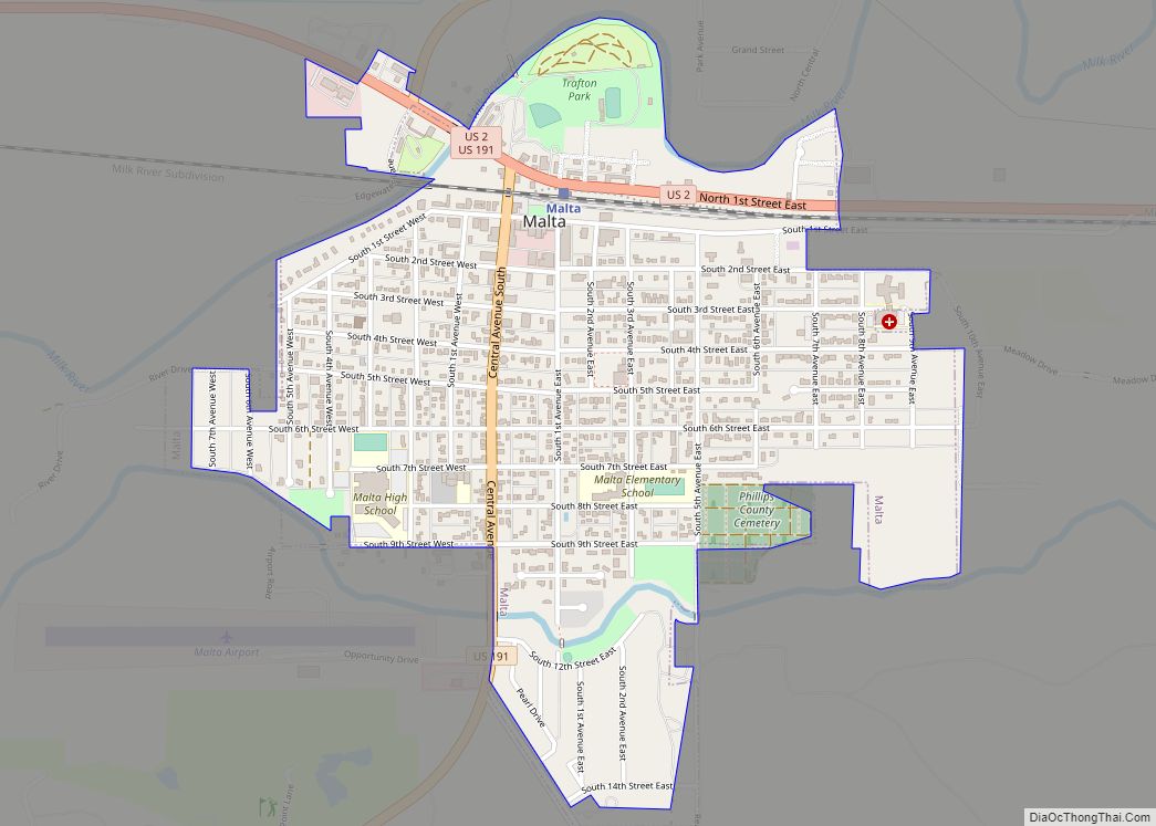
Malta (/ˈmɔːltə/ (listen) MAWL-tə) is a city in, and the county seat of, Phillips County, Montana, United States, located at the intersection of U.S. Routes 2 and 191. The population was 1,860 at the 2020 census.
| Name: | Malta city |
|---|---|
| LSAD Code: | 25 |
| LSAD Description: | city (suffix) |
| State: | Montana |
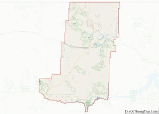
| County: | Phillips County |
| Elevation: | 2,254 ft (687 m) |
| Total Area: | 1.07 sq mi (2.78 km²) |
| Land Area: | 1.07 sq mi (2.78 km²) |
| Water Area: | 0.00 sq mi (0.00 km²) |
| Total Population: | 1,860 |
| Population Density: | 1,731.84/sq mi (668.95/km²) |
| ZIP code: | 59538 |
| Area code: | 406 |
| FIPS code: | 3047425 |
| GNISfeature ID: | 0773850 |
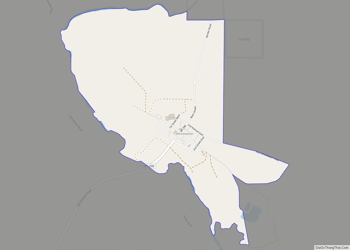
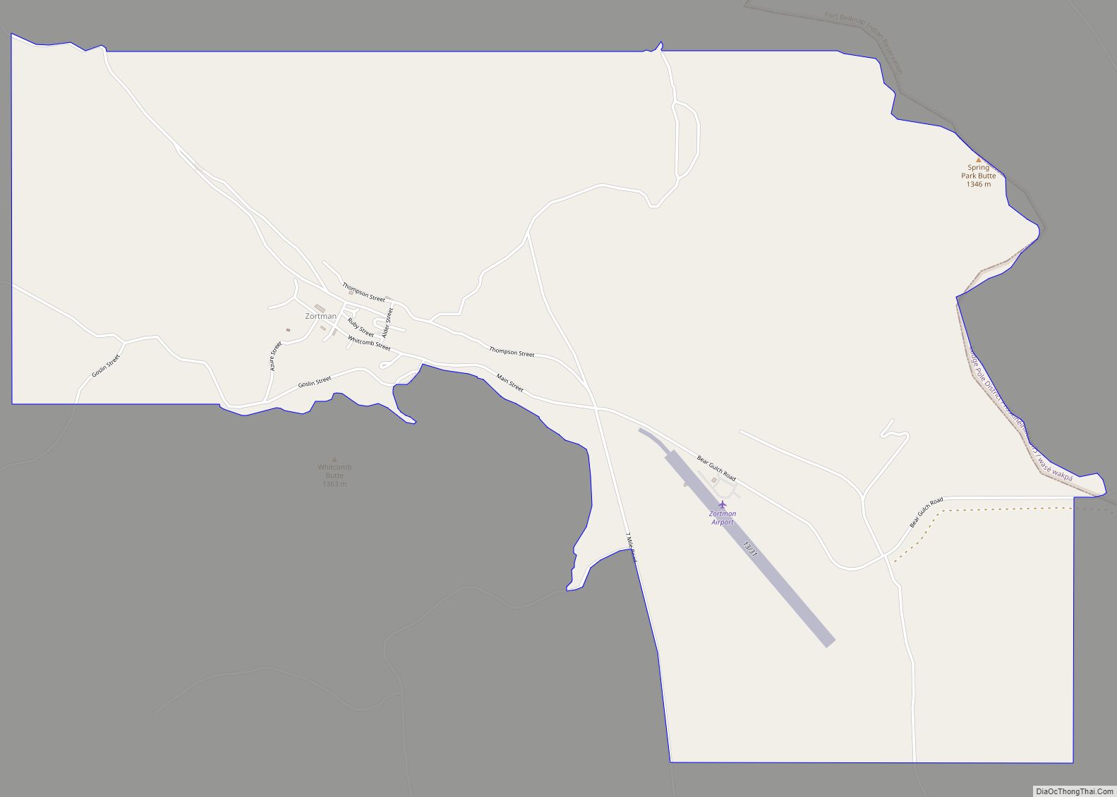
Online Interactive Map
Click on ![]() to view map in "full screen" mode.
to view map in "full screen" mode.
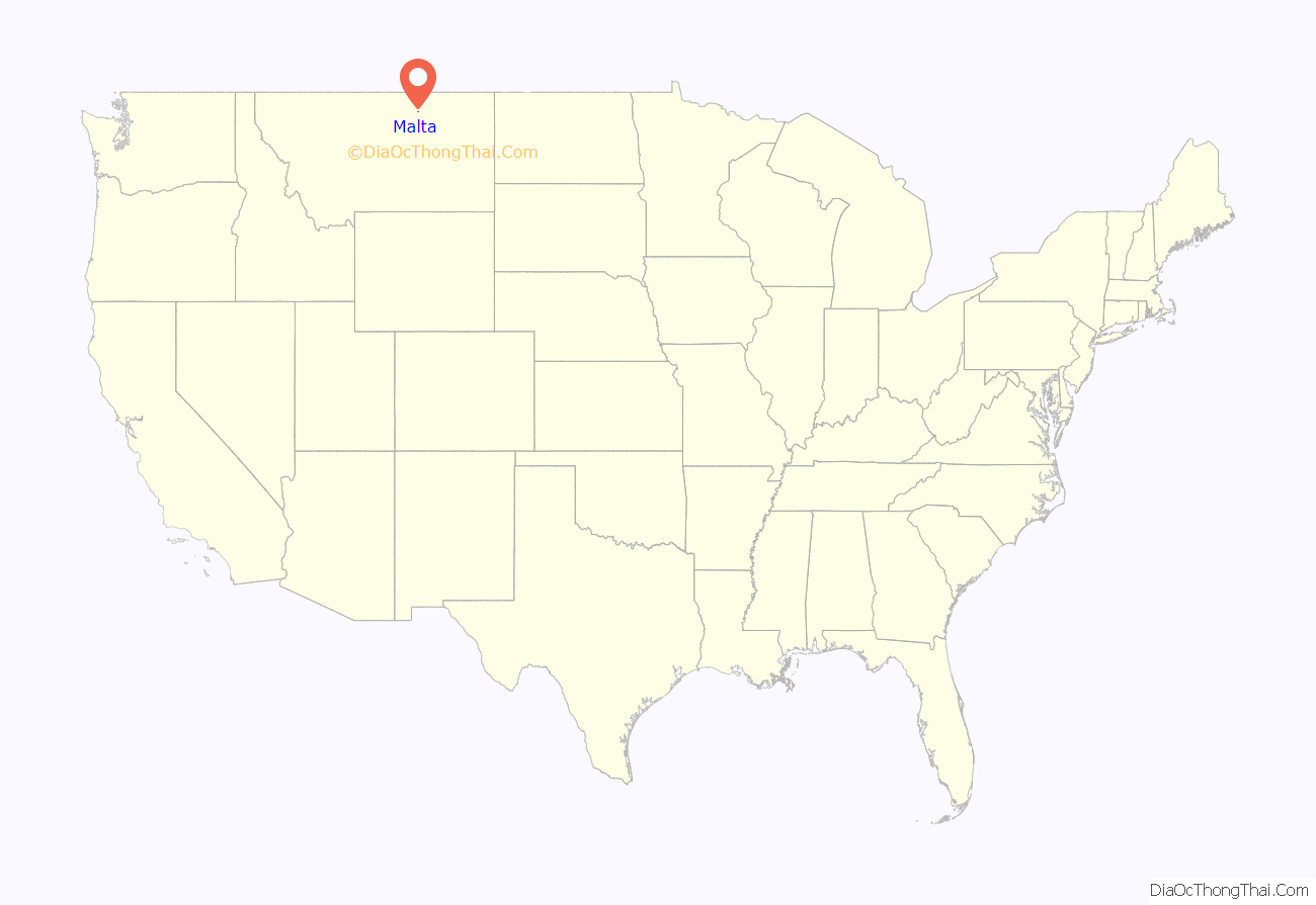
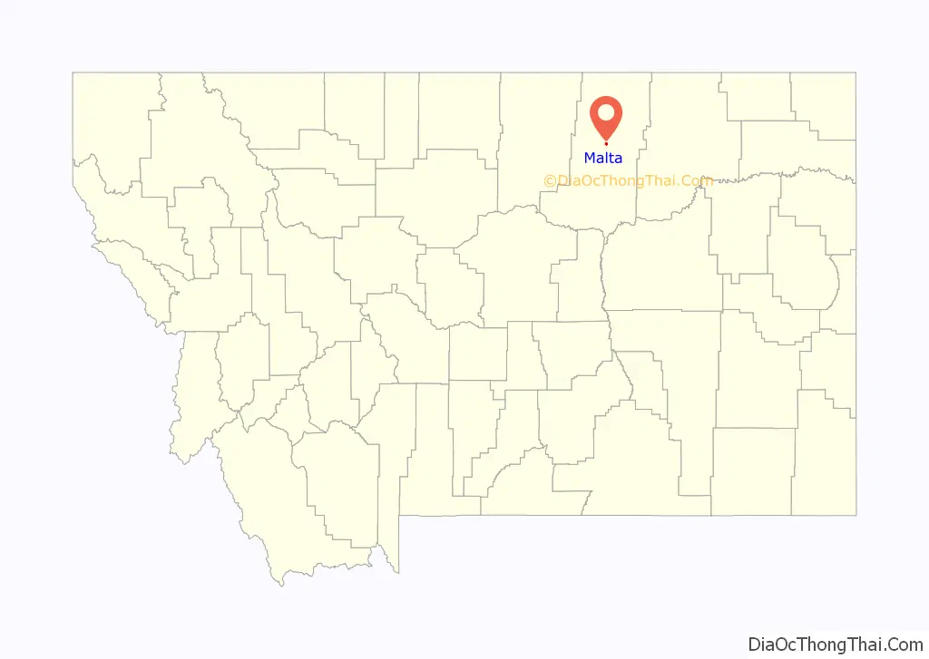
Malta location map. Where is Malta city?
History
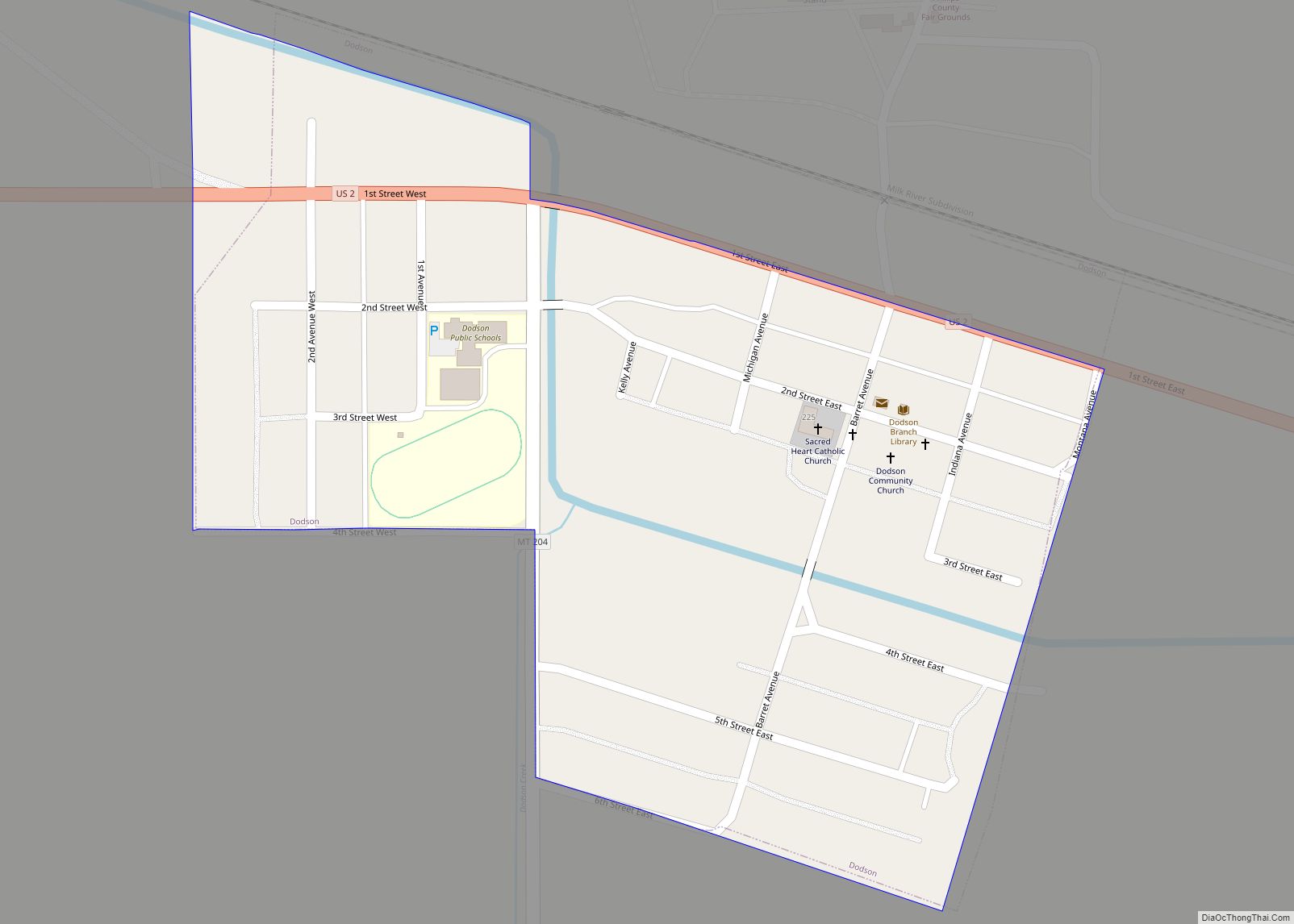
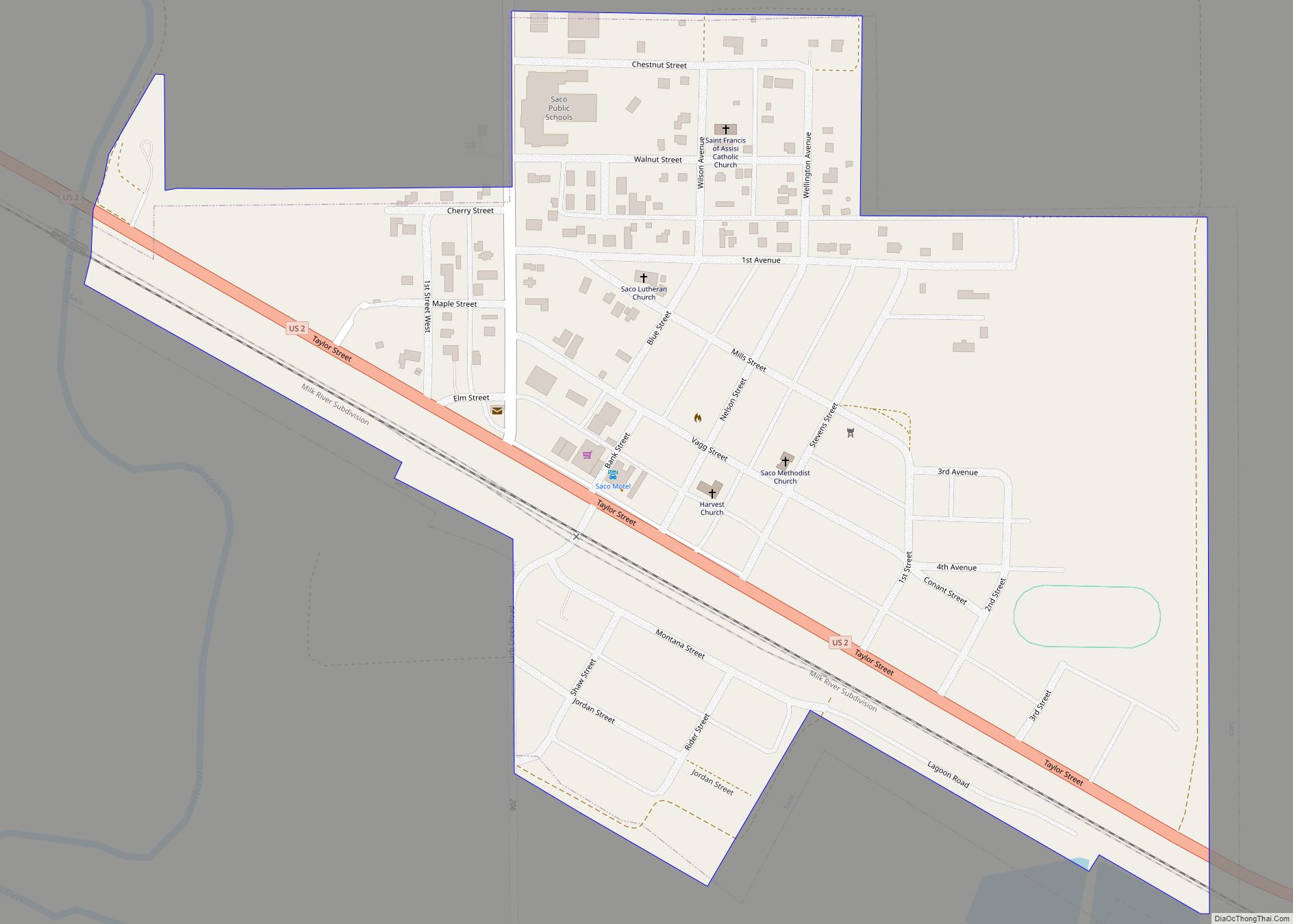
After James Hill and his partners built the St. Paul, Minneapolis, and Manitoba railway (which in 1890 became the Great Northern Railway) across Montana’s “High Line” in 1887, Malta evolved from rail siding number 54. What came to be Saco, Montana, to the east and Dodson, Montana, to the west grew from other nearby sidings. A post office was established in Malta in 1890. Its name is said to have been determined by a spin of the globe by a Great Northern official whose finger came to rest on the island of Malta in the Mediterranean Sea.
On July 3, 1901, Kid Curry (Harvey Logan), as part of Butch Cassidy’s Wild Bunch, robbed a train just west of Malta, near Wagner, Montana, making off with about $40,000.
One of the best preserved dinosaurs ever discovered and one of only four that were fossilized is a 77-million-year-old Brachylophosaurus nicknamed Leonardo, unearthed north of Malta in 2000. Leonardo, together with brachylophosaurs Elvis (1994), Roberta (2003) and Peanut (2002), is on display at The Great Plains Dinosaur Museum.
Two stops on The Montana Dinosaur Trail are located in Malta. They are:
- The Great Plains Dinosaur Museum and Field Station (home to the Judith River Dinosaur Institute)
- The Phillips County Museum and the H.G. Robinson House and Gardens
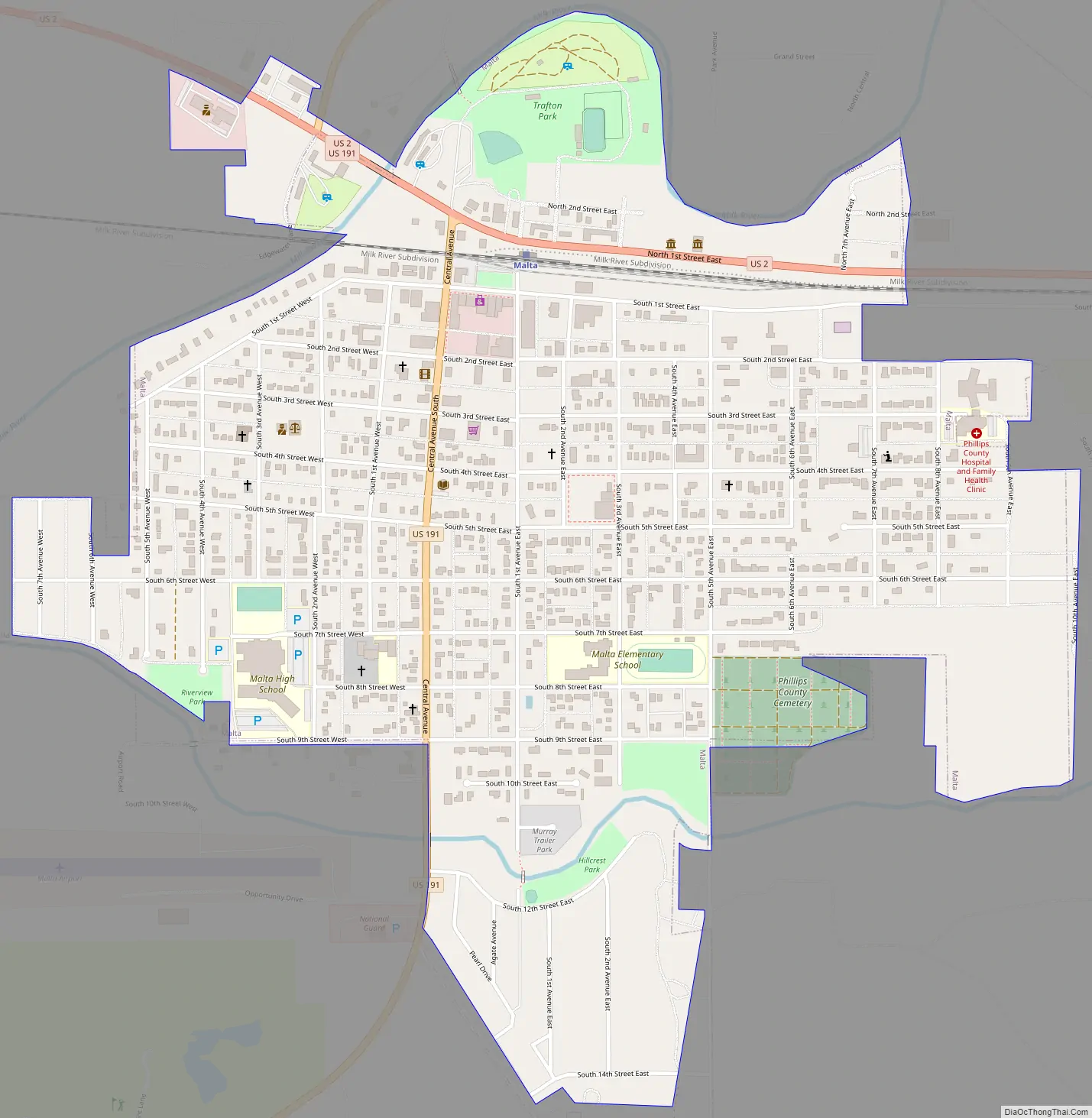
Malta Road Map
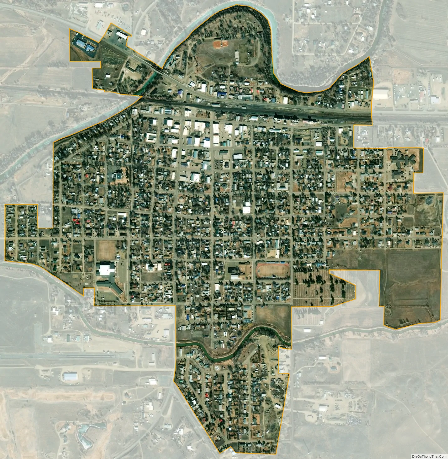
Malta city Satellite Map
Geography
Malta is on the High Plains of Montana. The Little Rocky Mountains are located south of the town. The city of Malta gets their water from wells. The well water is pumped to two water tanks located at the top of a residential area known as Hillcrest. The water is treated to meet safety standards, then it enters the city water distribution system.
According to the United States Census Bureau, the city has a total area of 1.06 square miles (2.75 km), all land.
Malta experiences a semi-arid climate (Köppen BSk) with long, cold, dry winters and hot, wetter summers.
See also
Map of Montana State and its subdivision:- Beaverhead
- Big Horn
- Blaine
- Broadwater
- Carbon
- Carter
- Cascade
- Chouteau
- Custer
- Daniels
- Dawson
- Deer Lodge
- Fallon
- Fergus
- Flathead
- Gallatin
- Garfield
- Glacier
- Golden Valley
- Granite
- Hill
- Jefferson
- Judith Basin
- Lake
- Lewis and Clark
- Liberty
- Lincoln
- Madison
- McCone
- Meagher
- Mineral
- Missoula
- Musselshell
- Park
- Petroleum
- Phillips
- Pondera
- Powder River
- Powell
- Prairie
- Ravalli
- Richland
- Roosevelt
- Rosebud
- Sanders
- Sheridan
- Silver Bow
- Stillwater
- Sweet Grass
- Teton
- Toole
- Treasure
- Valley
- Wheatland
- Wibaux
- Yellowstone
- Alabama
- Alaska
- Arizona
- Arkansas
- California
- Colorado
- Connecticut
- Delaware
- District of Columbia
- Florida
- Georgia
- Hawaii
- Idaho
- Illinois
- Indiana
- Iowa
- Kansas
- Kentucky
- Louisiana
- Maine
- Maryland
- Massachusetts
- Michigan
- Minnesota
- Mississippi
- Missouri
- Montana
- Nebraska
- Nevada
- New Hampshire
- New Jersey
- New Mexico
- New York
- North Carolina
- North Dakota
- Ohio
- Oklahoma
- Oregon
- Pennsylvania
- Rhode Island
- South Carolina
- South Dakota
- Tennessee
- Texas
- Utah
- Vermont
- Virginia
- Washington
- West Virginia
- Wisconsin
- Wyoming