Potter County is a county in the U.S. state of South Dakota. As of the 2020 census, the population was 2,472. Its county seat is Gettysburg. The county was created in 1873 and organized in 1883.
| Name: | Potter County |
|---|---|
| FIPS code: | 46-107 |
| State: | South Dakota |
| Founded: | 1875 |
| Named for: | Joel A. Potter |
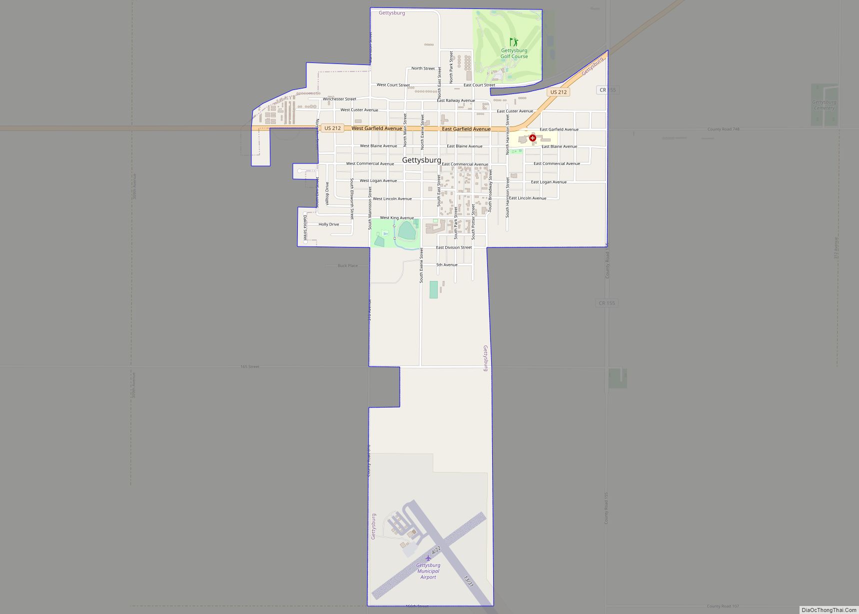
| Seat: | Gettysburg |
| Largest city: | Gettysburg |
| Total Area: | 899 sq mi (2,330 km²) |
| Land Area: | 861 sq mi (2,230 km²) |
| Total Population: | 2,472 |
| Population Density: | 2.7/sq mi (1.1/km²) |
| Time zone: | UTC−6 (Central) |
| Summer Time Zone (DST): | UTC−5 (CDT) |
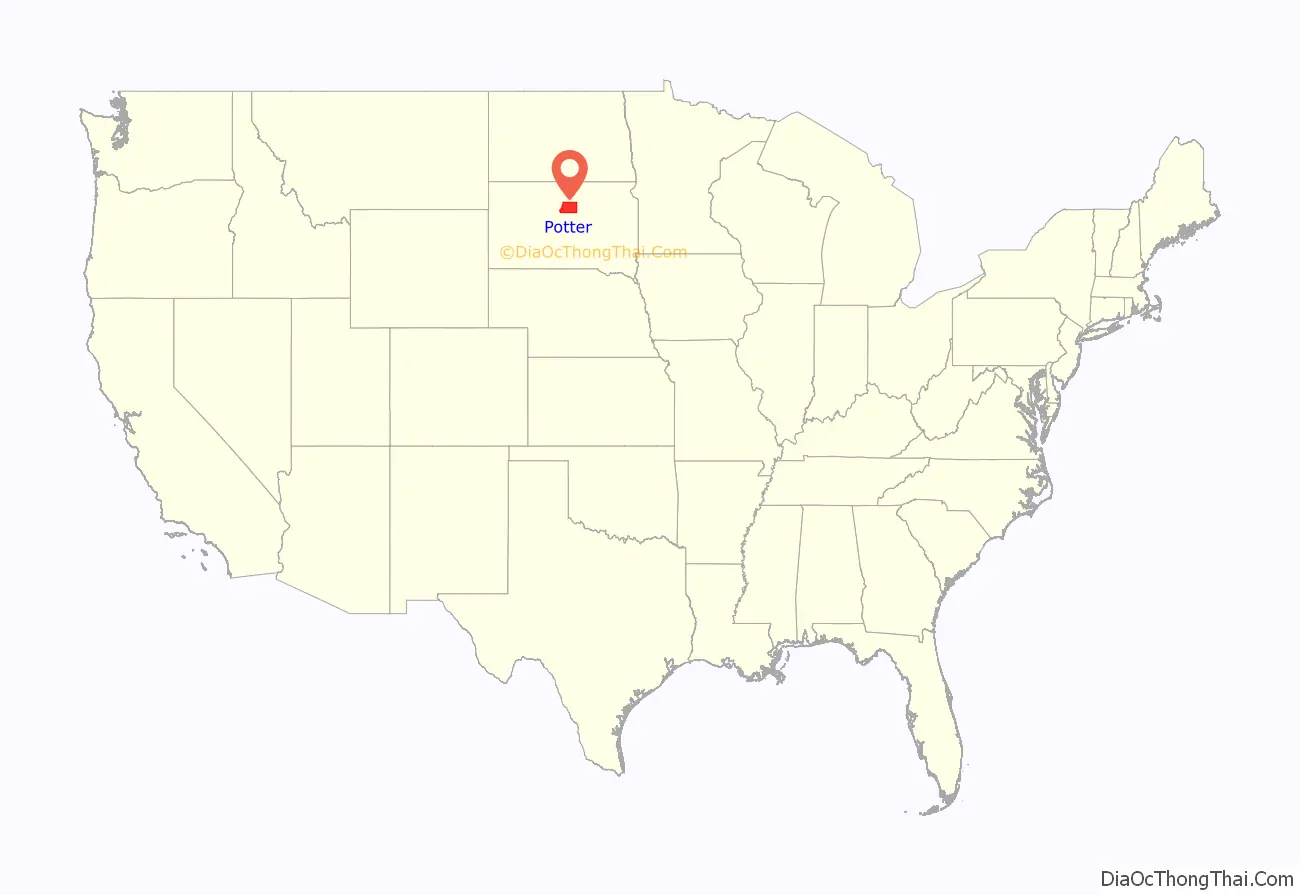
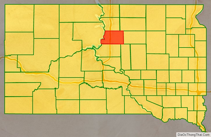
Potter County location map. Where is Potter County?
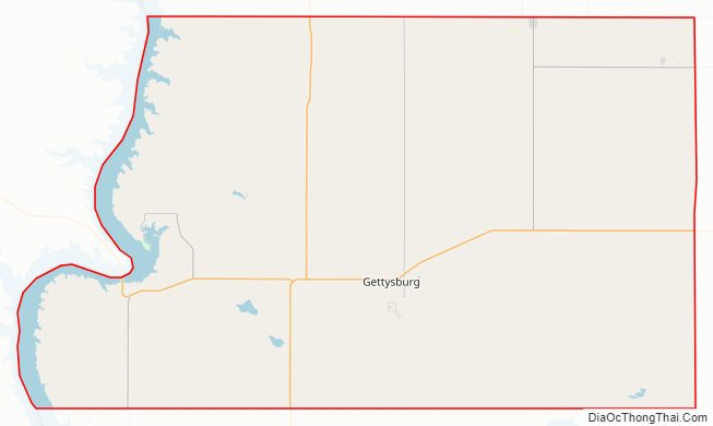
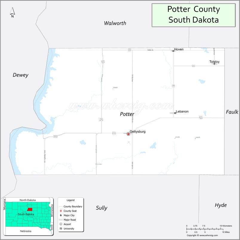
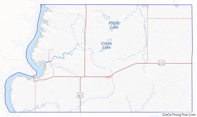
Potter County Road Map
Geography
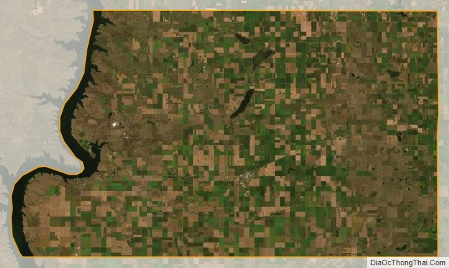
The Missouri River flows southward along the west boundary line of Potter County. The county terrain consists of rolling hills, mostly devoted to agriculture. The county generally slopes to the south, although the western portion slopes into the river valley. The county has a total area of 899 square miles (2,330 km), of which 861 square miles (2,230 km) is land and 38 square miles (98 km) (4.2%) is water.
The eastern portion of South Dakota’s counties (48 of 66) observe Central Time; the western counties (18 of 66) observe Mountain Time. Potter County is the westernmost of the SD counties to observe Central Time.
Major highways
- U.S. Highway 83
- U.S. Highway 212
- South Dakota Highway 20
- South Dakota Highway 47
- South Dakota Highway 1804
Adjacent counties
- Walworth County – north
- Edmunds County – northeast
- Faulk County – east
- Hyde County – southeast
- Sully County – south
- Dewey County – west (observes Mountain Time)
Protected areas
- Dodge Draw State Game Production Area
- Dodge Draw State Lakeside Use Area
- East Whitlock State Lakeside Use Area
- Forest City State Game Production Area
- Green Lake State Game Production Area
- Potts Dam State Game Production Area
- Siebrasse State Game Production Area
- West Whitlock State Recreation Area
- Whitlocks Bay State Game Production Area
Lakes
- Green Lake
- Lake Hurley
- Lake Oahe (part)
Potter County Topographic Map
Potter County Satellite Map
Potter County Outline Map