Radford (formerly Lovely Mount, Central City, English Ferry and Ingle’s Ferry) is an independent city in the U.S. state of Virginia. As of 2020, the population was 16,070 by the United States Census Bureau. For statistical purposes, the Bureau of Economic Analysis combines the city of Radford with neighboring Montgomery County.
Radford is included in the Blacksburg–Christiansburg metropolitan area.
Radford is the home of Radford University. The Radford Arsenal is nearby in Pulaski and Montgomery counties. Radford City has four schools: McHarg Elementary, Belle Heth Elementary, Dalton Intermediate, and Radford High School.
| Name: | Radford City |
|---|---|
| FIPS code: | 51-750 |
| State: | Virginia |
| Founded: | 1887 |
| Named for: | John B. Radford |
| Total Area: | 10.01 sq mi (25.92 km²) |
| Land Area: | 9.68 sq mi (25.06 km²) |
| Total Population: | 16,070 |
| Population Density: | 1,600/sq mi (620/km²) |
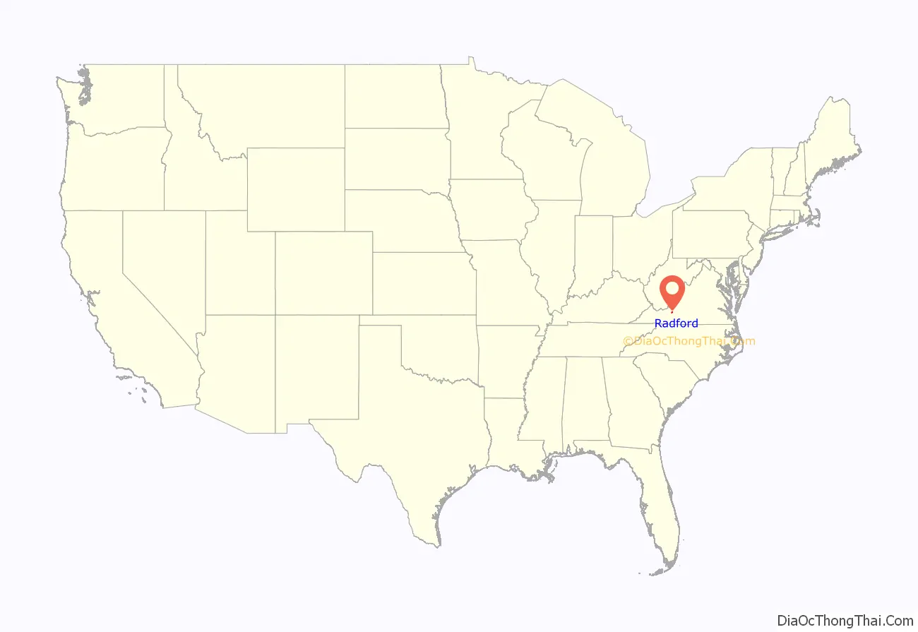
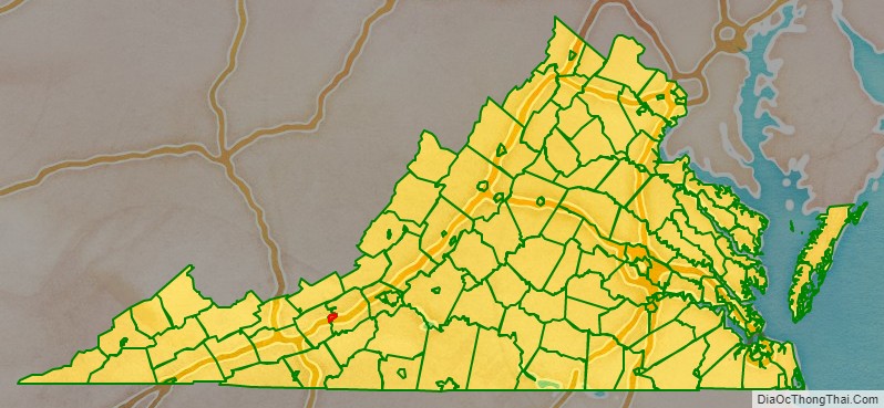
Radford City location map. Where is Radford City?
History
Radford was named for Dr. John B. Radford. Dr. Radford’s home Arnheim was listed on the National Register of Historic Places in 2002. Radford was originally a small village of people that gathered near the New River, which was a major draw to travelers for fresh water and food while traveling west. The town had a major population increase in 1854 when the Virginia and Tennessee Railroad came through. A large depot was placed at Lovely Mount because of its strategic positioning between the eastern and western parts of the state. The actual station was not on Lovely Mountain, located on the southwestern side of town, but Lovely Mount was a known mountain and naming the station this would help people to remember the location of the depot. The Railroad Depot caused the population of Radford to boom. It also caused a major increase in the amount of trade and business in the area. Radford became a railroad town. The original name for Radford was Lovely Mount because of the location of the depot; the name was changed in 1891 to Radford. Radford, or at least the train station area, was called Central Depot because of its central location halfway between Lynchburg and Bristol, Virginia, on the original railroad, the Virginia and Tennessee Railroad (later the Norfolk and Western Railway).
From 1900 to 1930, many companies came to Radford, including an ice company, a creamery, milling companies, piping, and preserving plants. In 1913, Radford was selected to become home to Radford State Normal School, a women’s college. The school would later, in 1924, become Radford College and then in 1979 would be renamed Radford University. The presence of a college brought even more attention to Radford, causing even more population growth. In 1940–1941 the US Military decided to build a manufacturing plant for gunpowder and other ammunition needed by the military. Thus the Radford Army Ammunition Plant, or the “Arsenal” as it would come to be called, joined the railroad and Lynchburg Foundry as major employers creating a huge influx in population. Many families moved to the area. Housing for the Arsenal was built in specific areas of town and these neighborhoods still exist today; Monroe Terrace, Radford Village, and Sunset Village. Today these are Radford’s main residential neighborhoods. The railroad ceased passenger service through Radford 1971 as personal transportation moved to the fairly new interstate highway system and the airways. However, the railroad route through Radford is still a major component of Norfolk Southern Railway’s Roanoke to Bristol route. But, Radford no longer needed the railroad passenger service to survive.
The James Charlton Farm, Ingles Bottom Archeological Sites, and Ingles Ferry are listed on the National Register of Historic Places.
Although a majority of Radford voters supported Barack Obama, Hillary Clinton and Joe Biden in the elections of 2008, 2012, 2016 and 2020, during the 2012 campaign the city was the site of the so-called Crumb and Get It bakery incident, in which a bakery owner declined to host a campaign event for then-Vice President Joe Biden, citing political differences. The incident sparked significant media coverage and a surge in business for the bakery.
Glencoe Museum
Glencoe Museum is located in west downtown Radford overlooking the New River. The house was built in 1870 in the 19th century Victorian style, specifically Second Empire, and serves as a home for many artifacts concerning the beginnings of Radford. It was the postbellum home of Confederate Brigadier General Gabriel C. Wharton. It is a large, two-story, five bay, brick dwelling, and originally had quite extensive grounds. The original house had a barn, chicken coop, smoke house, and an ice house. The name Glencoe is thought to be inspired by Anne Wharton’s ancestry. Her family was originally from Scotland. The house didn’t appear on Radford’s tax records until 1876, it took a very long time to build a house of its size and grandeur in the 1800s. The house was kept in the family till 1996 when, after being deserted for 30 years, the house was given to the city of Radford.
The house and grounds were donated by the Kollmorgen Motion Technology Group. The house was converted into a museum to show off pieces of history found in Radford. There are many Native American artifacts in the museum that help us understand the New River’s importance to the Native American culture and way of life. In Glencoe, a person can find some of the original blueprints for the city and pictures of Radford from the past. There is also Local Sports History exhibit and an exhibit on how the river impacted life in Radford. The New River Exhibit also includes a lot of information on ferries, steamboats, and other modes of transportation used on the river. Glencoe Museum is a very popular attraction for school field trips and visitors who are trying to find out more about Radford.
It was listed on the National Register of Historic Places in 2000.
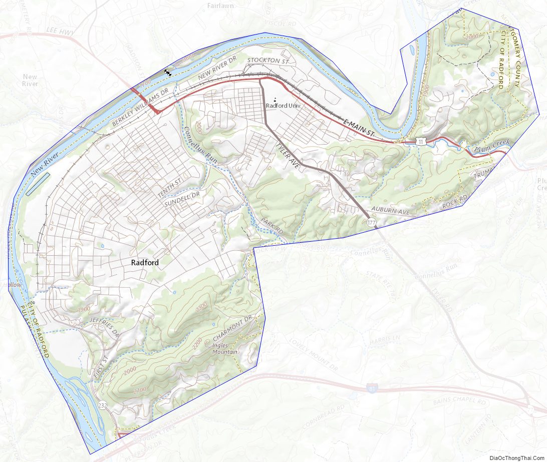
Radford City Road Map

Geography
Radford is located at 37°7′39″N 80°34′10″W / 37.12750°N 80.56944°W / 37.12750; -80.56944 (37.127585, −80.569523).
According to the United States Census Bureau, the city has a total area of 10.2 square miles (26.4 km), of which 9.9 square miles (25.6 km) is land and 0.3 square miles (0.8 km) (3.3%) is water. The New River runs along the southwestern, western and northern edge of the city.
Weather and climate history
The worst river flooding in Radford’s recorded history occurred on August 14, 1940, with a slow-moving tropical depression. The 1940 hurricane season produced eight storms, four of which were hurricanes. Around August 5 of that year, a tropical storm was detected along the northern Leeward Islands in the West Indies. The storm brought wind gusts of 44 mph to San Juan, Puerto Rico, as it moved northwestward. By August 6 it began a turn to the north while producing rough seas in the southeastern Bahamas. Four days later on August 10 the S.S. Maine off the southeast coast measured hurricane-force winds and the storm began movement again toward the northwest. The storm made landfall as a category 1 hurricane on August 11 at approximately 4 PM near Beaufort, South Carolina (along the SC/GA border). Winds reached 73 mph in nearby Savannah, Georgia.
As the Georgia – South Carolina hurricane of 1940 moved inland, record rainfall amounts were observed from South Carolina north through the Smoky Mountains and into southwest and central Virginia. The storm meandered along the Cumberland Plateau region as rain began falling in Virginia on August 13. The mountainous terrain coupled with extremely slow movement from the now tropical depression produced tremendous amounts of rain. Copper Hill in Floyd County, Virginia, received the highest rainfall in the state: 17.03 inches.
The United States Geological Survey (USGS) stream gauge across the New River (Kanawha River) from Bisset Park measured an all-time record height of 35 feet 11.5 inches which is nearly 22 feet above what is considered flood stage. Residents in low-lying areas were forced to evacuate their homes and both the former Burlington Mills and the Lynchburg Foundry manufacturing plants were shut down because of high water. The road leading from Radford into Pulaski County towards Claytor Lake Dam was inundated and impassable. Thankfully, no deaths were reported across southwest Virginia, but several million dollars worth of damage occurred (1940 USD).
On October 18, 2011, a sign recognizing the historic flooding was dedicated in Bisset Park near downtown Radford. The sign was donated by local resident Anthony Phillips, a hydrometeorologist from Snowville, Virginia, and installation was sponsored by the National Weather Service and the United States Geological Survey through the High Water Mark (HWM) Project. The project helps raise awareness of flood risk by installing high-water mark signs in prominent locations within communities that have experienced severe flooding.
Adjacent counties
- Pulaski County, Virginia – west
- Montgomery County, Virginia – east
Radford City Topographic Map
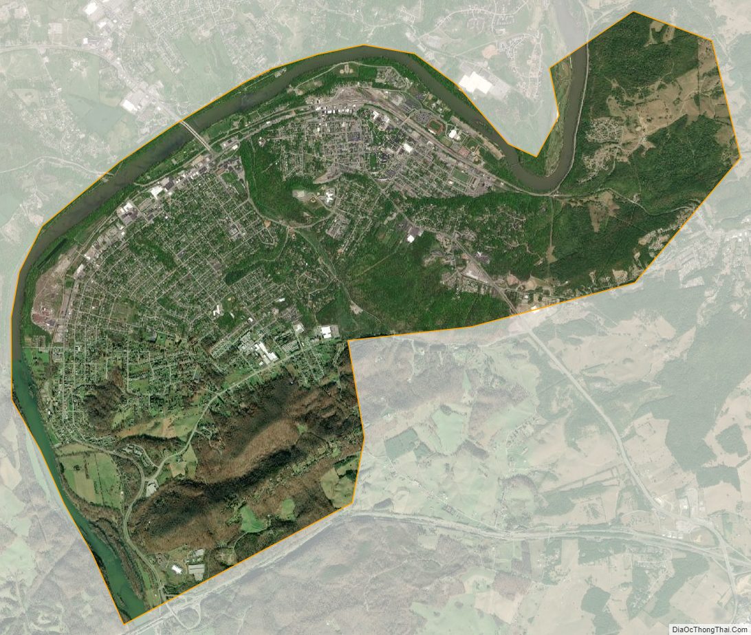
Radford City Satellite Map
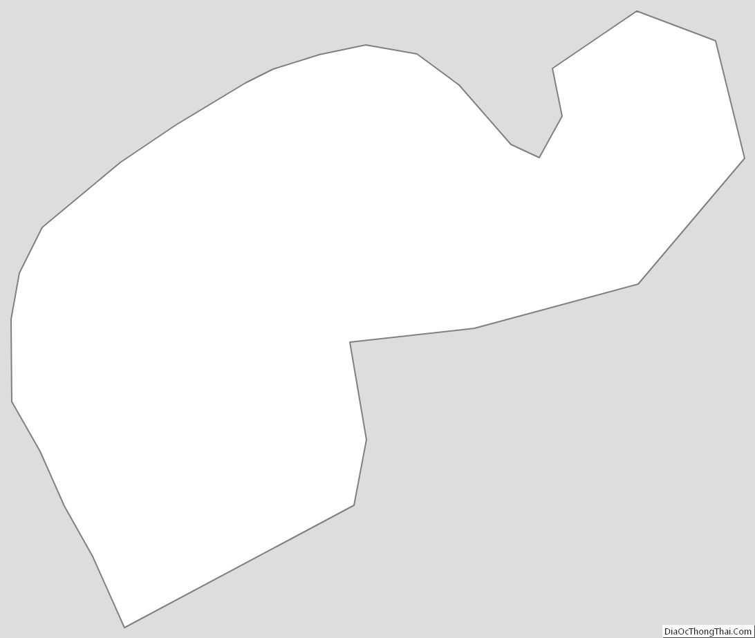
Radford City Outline Map