| Name: | Bristol City |
|---|---|
| FIPS code: | 51-520 |
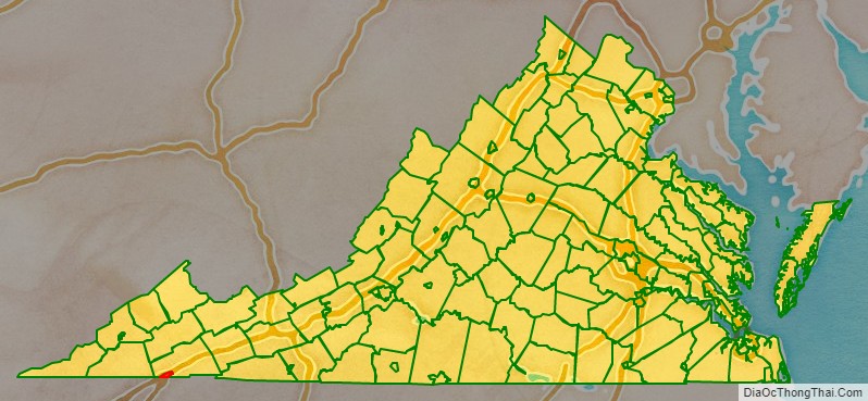
| State: | Virginia |
| Total Area: | 13.00 sq mi (33.66 km²) |
| Land Area: | 12.87 sq mi (33.34 km²) |
| Total Population: | 17,219 |
| Population Density: | 1,300/sq mi (510/km²) |
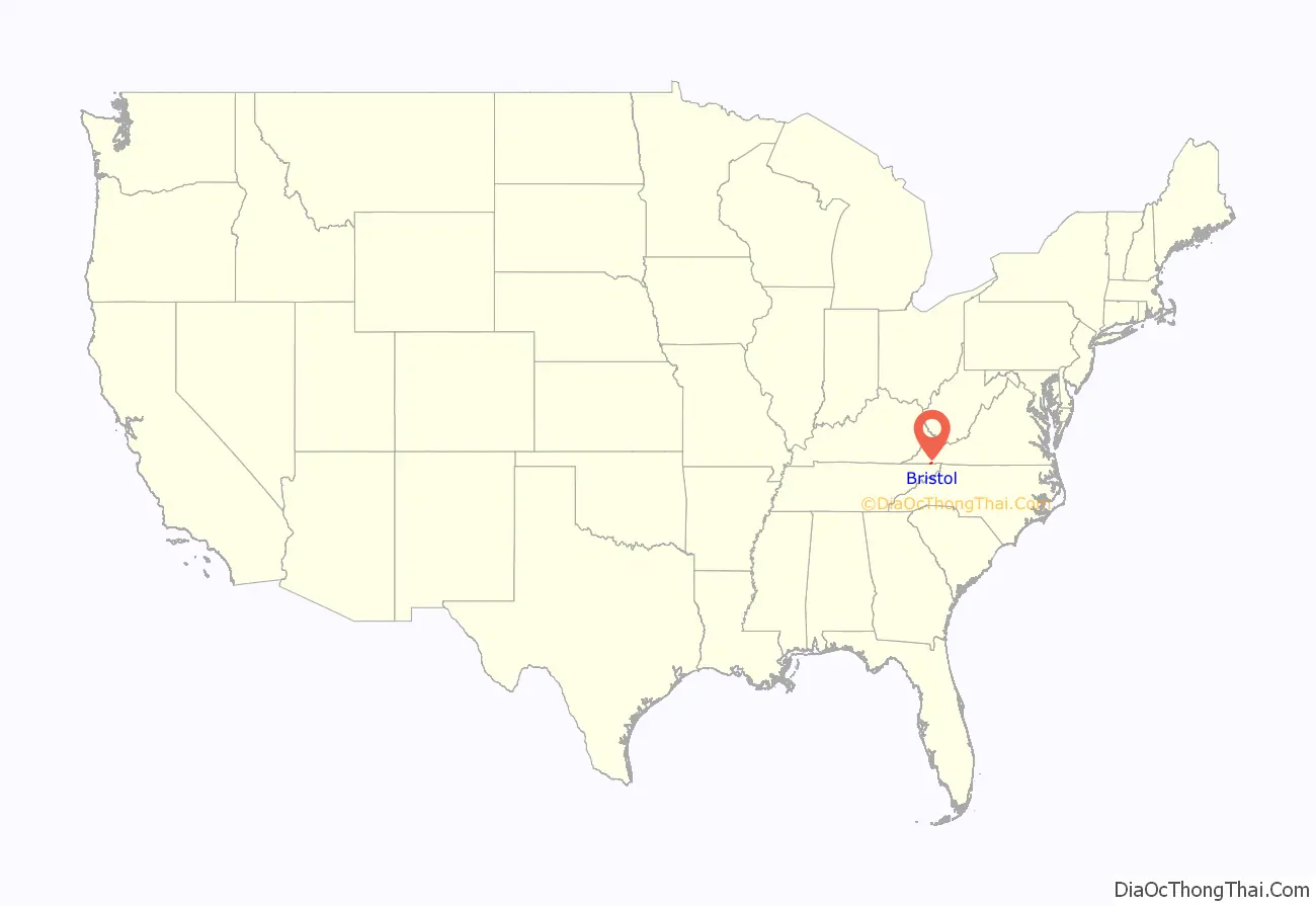
Bristol City location map. Where is Bristol City?
History
Evan Shelby first appeared in what is now the Bristol area around 1765. In 1766, Shelby moved his family and settled at a place called Big Camp Meet (now Bristol, Tennessee/Virginia). It is said that Cherokee Indians once inhabited the area and the Indian village was named, according to legend, because numerous deer and buffalo met here to feast in the canebrakes. Shelby renamed the site Sapling Grove (which would later be changed to Bristol). In 1774, Shelby erected a fort on a hill overlooking what is now downtown Bristol. It was an important stopping-off place for notables such as Daniel Boone and George Rogers Clark, as well as hundreds of pioneers’ en route to the interior of the developing nation. This fort, known as Shelby’s Station was actually a combination trading post, way station, and stockade.
By the mid-nineteenth century, when surveyors projected a junction of two railroad lines at the Virginia-Tennessee state line, Reverend James King conveyed much of his acreage to his son-in-law, Joseph R. Anderson. Anderson laid out the original town of Bristol, Tennessee/Virginia and building began in 1853.
Samuel Goodson, who owned land that adjoined the original town of Bristol TN/VA at its northern boundary (Beaver Creek was the dividing line), started a development known as Goodsonville. Anderson was unable to incorporate Bristol across the state lines of Tennessee and Virginia. In 1856, Goodsonville and the original Bristol, Virginia were merged to form the composite town of Goodson, Virginia.
Incorporation for Bristol, Tennessee and Goodson, Virginia occurred in 1856. The Virginia and Tennessee Railroads reached the cities in the late summer of 1856. Due to having two different railroads companies, two depots served the cities; one in Bristol, Tenn. and the other in Goodson, Va. However, the depot located in Goodson continued to be referred to as Bristol, Virginia. In 1890, Goodson, Virginia once again took the name Bristol.
The Grove, Solar Hill Historic District, and Walnut Grove are listed on the National Register of Historic Places.
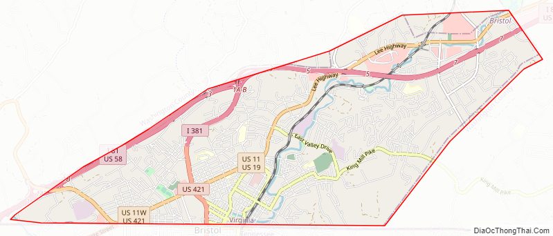
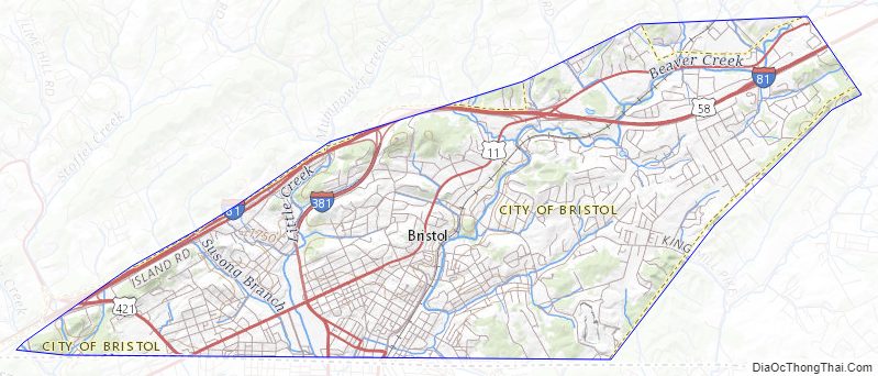
Bristol City Road Map
Geography
Bristol is in southwestern Virginia. It is bordered to the west, north, and east by Washington County, Virginia, and to the south by the city of Bristol in Sullivan County, Tennessee.
According to the United States Census Bureau, the city has a total area of 13.2 square miles (34.1 km), of which 13.0 square miles (33.7 km) is land and 0.15 square miles (0.4 km), or 1.07%, is water. Little Creek and Beaver Creek flow south through the city; Little Creek flows into Beaver Creek two blocks south of the state line in Tennessee. Beaver Creek is a tributary of the South Fork Holston River.
The city is served by Interstates 81 and 381, and by U.S. Routes 11, 19, 58, and 421. I-81 leads northeast 149 miles (240 km) to Roanoke, Virginia, and southwest 113 miles (182 km) to Knoxville, Tennessee. Interstate 381 (I-381) is a spur from Interstate 81 that provides access to Bristol, Virginia, United States. It runs for 1.7 miles (2.7 kilometers) from the intersection of Commonwealth Avenue (State Route 381) and Keys/Church Streets in Bristol at exit 0 north to Interstate 81. The I-81 interchange, the only one on I-381, is signed as exits 1A (I-81 north) and 1B (I-81 south). US 11 and US 19, running parallel to I-81, lead northeast 15 miles (24 km) to Abingdon, Virginia. US 11 splits into routes 11W and 11E in Bristol; US 11W leads west-southwest 23 miles (37 km) to Kingsport, Tennessee, while US 11E and US 19 lead south-southwest 25 miles (40 km) to Johnson City, Tennessee. US 58 runs with I-81 northeast for 17 miles (27 km) before splitting off to the east just beyond Abingdon; US 58 and 421 together lead west 27 miles (43 km) to Weber City, Virginia. US 421 leads southeast 33 miles (53 km) to Mountain City, Tennessee.
Climate
According to the Köppen climate classification, Bristol has a marine west coast climate abbreviated as Cfb.
Bristol City Topographic Map
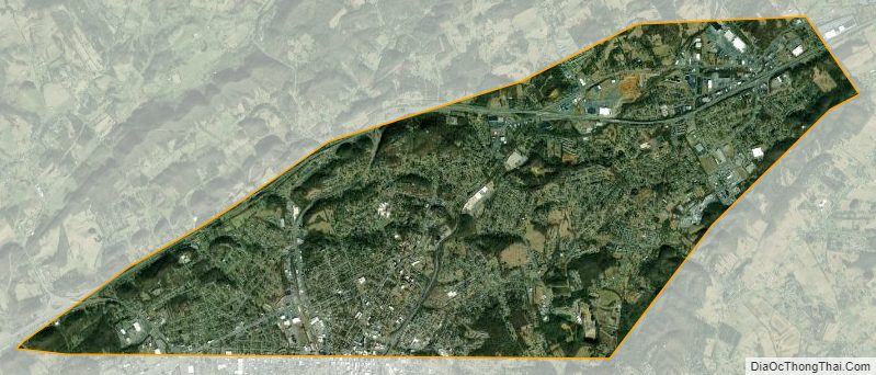
Bristol City Satellite Map
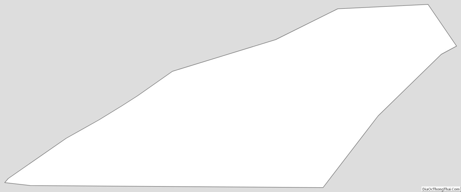
Bristol City Outline Map