Beaufort (/ˈbjuːfərt/ BEW-fert, different from that of Beaufort, North Carolina) is a city in and the county seat of Beaufort County, South Carolina, United States. Chartered in 1711, it is the second-oldest city in South Carolina, behind Charleston. A city rich in history, culture, southern hospitality, and a seaside charm, Beaufort is affectionally known as the “Queen of the Carolina Sea Islands”. The city’s population was 13,607 at the 2020 census. It is part of the Hilton Head Island–Bluffton metropolitan area.
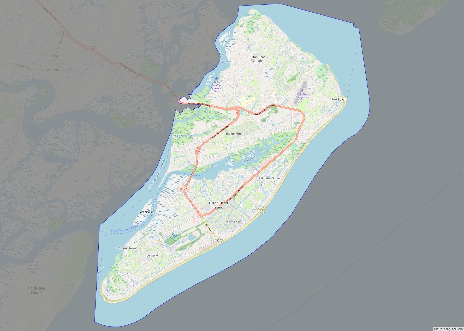
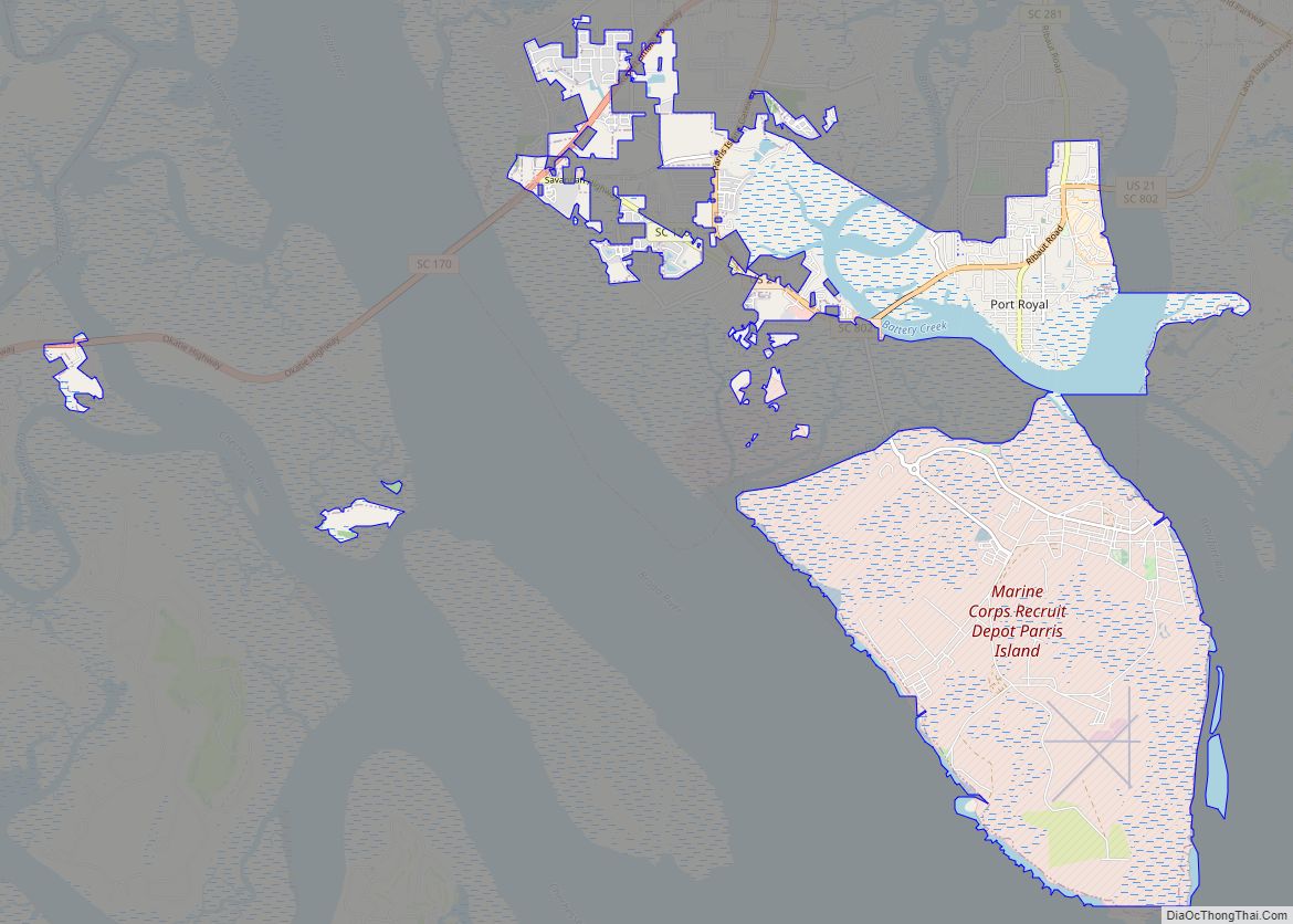
Beaufort is located on Port Royal Island, in the heart of the Sea Islands and South Carolina Lowcountry. The city is renowned for its scenic location and for maintaining a historic character by preservation of its antebellum architecture. The prominent role of Beaufort and the surrounding Sea Islands during the Reconstruction era after the U.S. Civil War is memorialized by the Reconstruction Era National Monument, established in 2017. The city is also known for its military establishments, being located in close proximity to Parris Island and a U.S. naval hospital, in addition to being home of the Marine Corps Air Station Beaufort.
The city has been featured in the New York Times, and named “Best Small Southern Town” by Southern Living, a “Top 25 Small City Arts Destination” by American Style, and a “Top 50 Adventure Town” by National Geographic Adventure.
| Name: | Beaufort city |
|---|---|
| LSAD Code: | 25 |
| LSAD Description: | city (suffix) |
| State: | South Carolina |
| County: | Beaufort County |
| Incorporated: | 1711 |
| Elevation: | 10 ft (3 m) |
| Land Area: | 24.43 sq mi (63.28 km²) |
| Water Area: | 0.89 sq mi (2.29 km²) |
| Population Density: | 556.89/sq mi (215.01/km²) |
| ZIP code: | 29901-29907 |
| FIPS code: | 4504690 |
| GNISfeature ID: | 1245003 |
| Website: | www.cityofbeaufort.org |
Online Interactive Map
Click on ![]() to view map in "full screen" mode.
to view map in "full screen" mode.
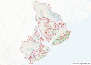
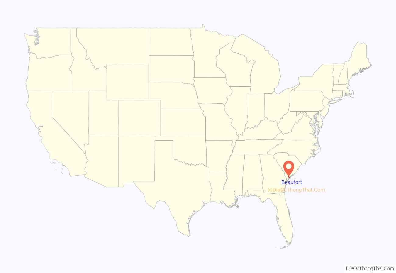
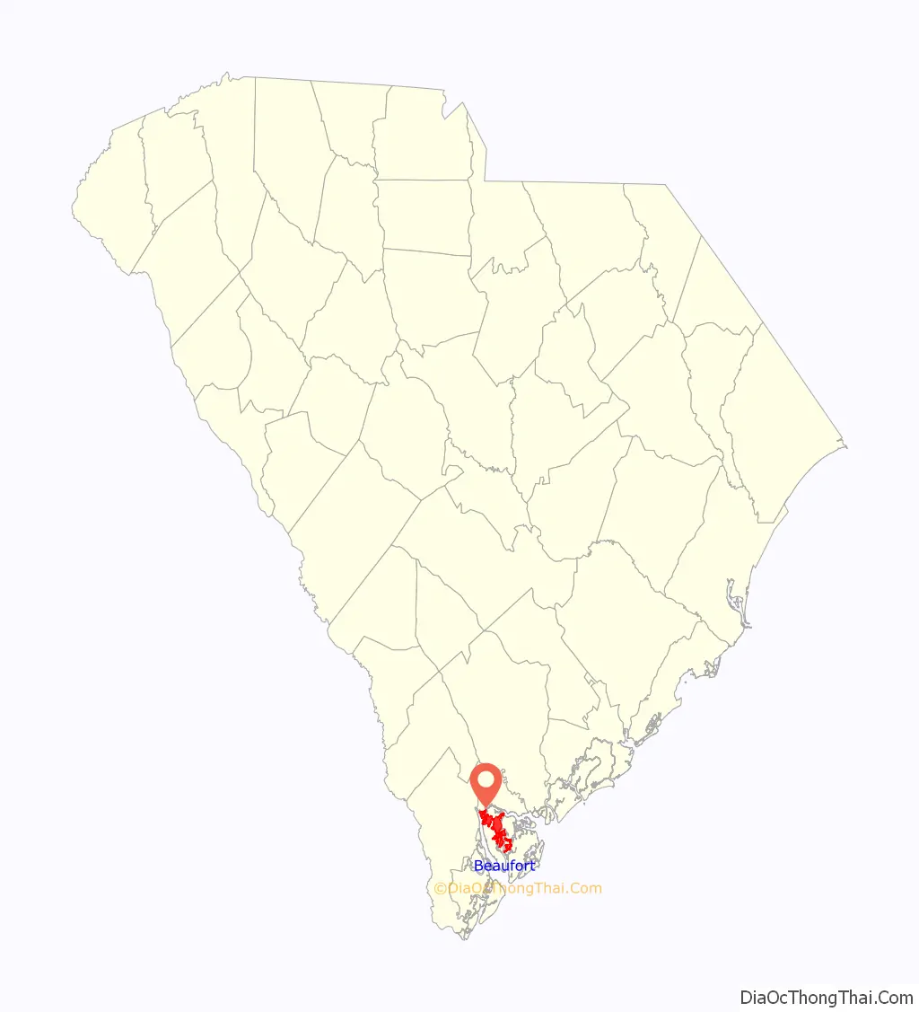
Beaufort location map. Where is Beaufort city?
History
Written history began 500 years ago with the exploration of the area by Spanish Captain Pedro de Salazar between 1514 and 1516. Thus, Beaufort County was the site of the second landing on the North American continent by Europeans.
The Lowcountry region had been subject to numerous European explorations and failed attempts at colonization before British colonists founded the city in 1711. Named for Henry Somerset, 2nd Duke of Beaufort, the city initially grew slowly, subject to numerous attacks from Native American tribes and threats from the powerful Spanish Empire to the south. It flourished first as a center for shipbuilding and later, when the region was established as a slave society, as the elite center for the Lowcountry planters through the Civil War.
Several months after hostilities began between the states, Beaufort was occupied by Union forces following the Battle of Port Royal. Due in part to its early occupation, the city attracted escaping slaves. The Union declared the slaves emancipated and initiated efforts at education and preparation for full independence. The Freedmen’s Bureau worked with local blacks during Reconstruction.
After the war, the city relied on phosphate mining before a devastating hurricane in 1893 and a fire in 1907 brought extensive destruction and economic turmoil. Their effects slowed growth of the city for nearly half a century.
In the latter half of the 20th century, the community became a destination for tourists. It also benefited by the growth of military installations in the area and related employment. Local groups have worked to preserve Beaufort’s historic character and significant architecture. These efforts have contributed to the community regularly receiving accolades in regional and national media for its general attractiveness and quality of life.
In 2022, an informal sister city arrangement was established with Ostroh, Ukraine in which the residents of Beaufort raised funds to support Ostroh during the Russian invasion of Ukraine.
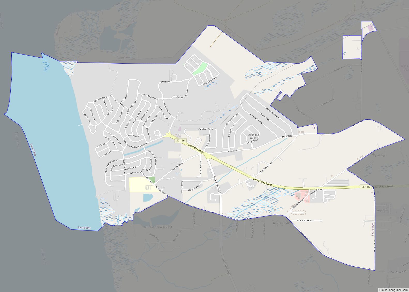
In addition to the Beaufort Historic District, The Anchorage, William Barnwell House, Barnwell-Gough House, Beaufort National Cemetery, John A. Cuthbert House, Fort Lyttelton Site, Hunting Island State Park Lighthouse, Laurel Bay Plantation, Marshlands, Seacoast Packing Company, Seaside Plantation, Robert Smalls House, Tabby Manse, and John Mark Verdier House are listed on the National Register of Historic Places.
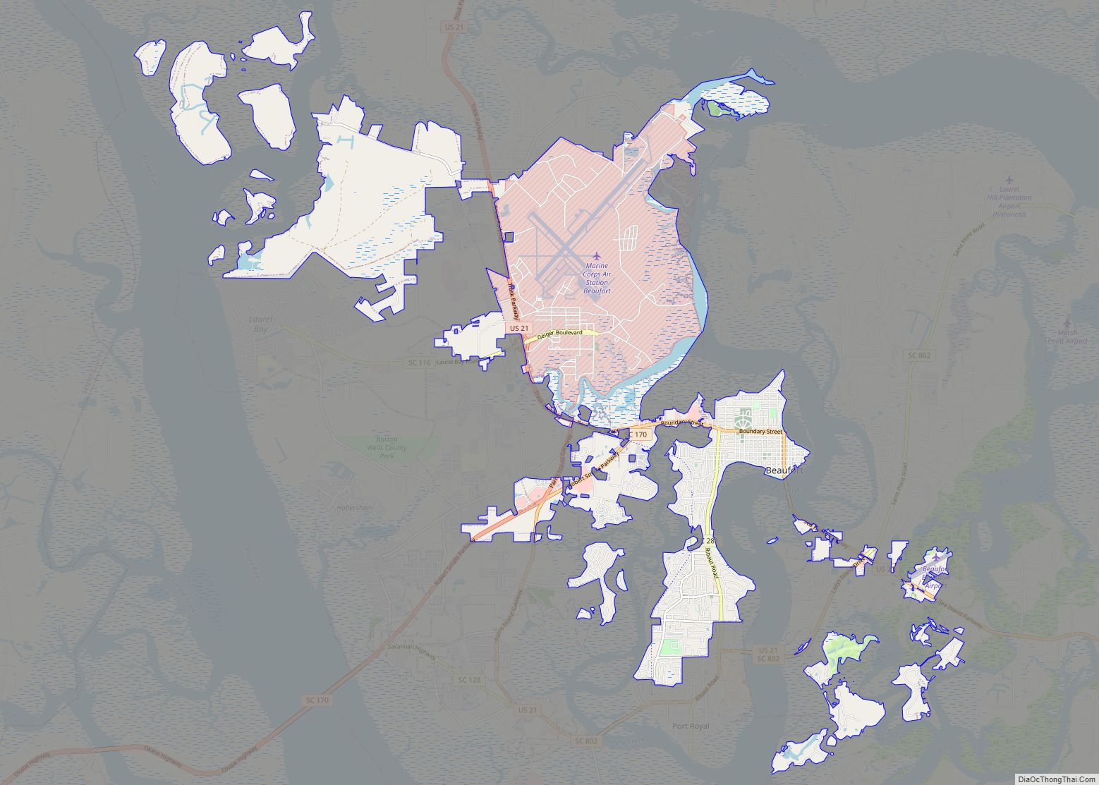
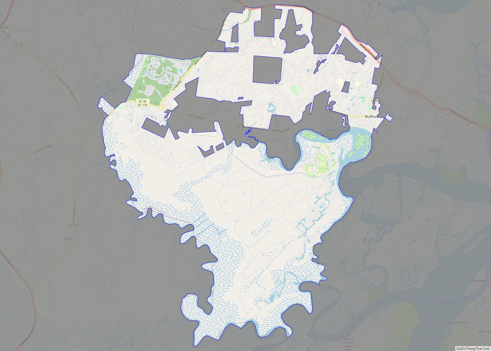
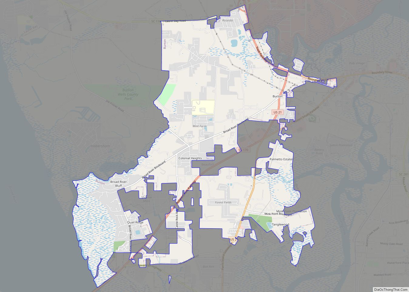
Beaufort Road Map
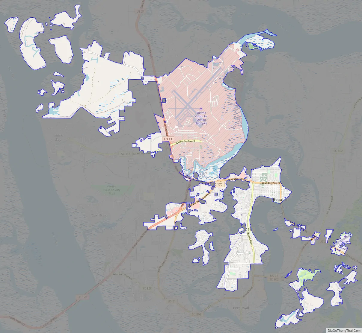
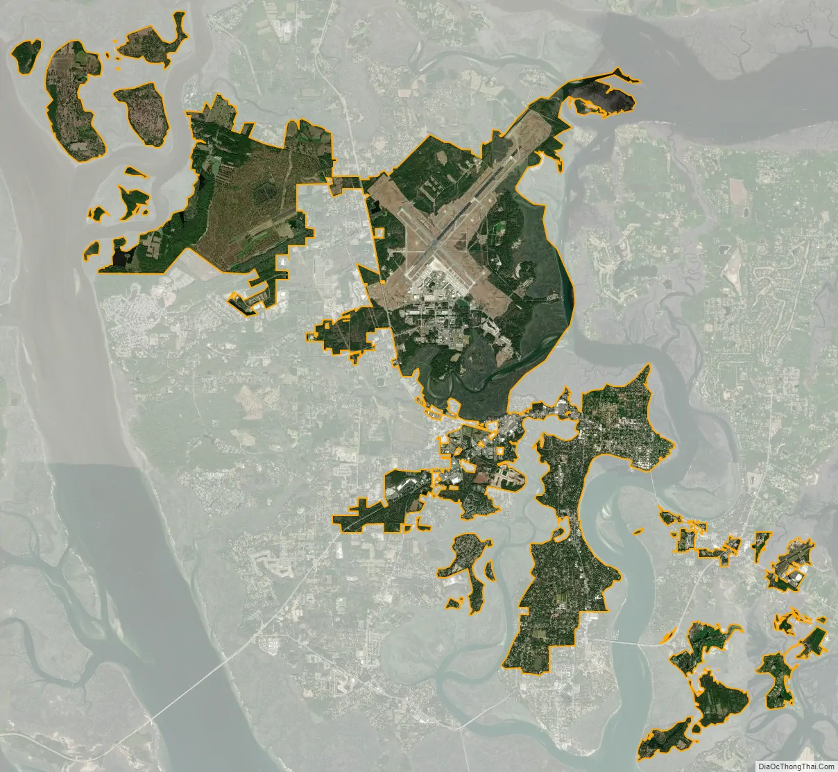
Beaufort city Satellite Map
Geography
Beaufort is located at 32°25′55″N 80°41′22″W / 32.43194°N 80.68944°W / 32.43194; -80.68944 (32.431853, -80.689515). The majority of the city is situated upon Port Royal Island, an interior Sea Island that the city shares with neighboring Port Royal and unincorporated portions of Beaufort County. The city has also annexed lands across the Beaufort River on Lady’s Island.
The city is amid a marshy estuary, and according to the United States Census Bureau has a total area of 33.6 square miles (87.0 km), of which 27.6 square miles (71.5 km) is land and 6.0 square miles (15.5 km), or 17.80%, is water.
See also
Map of South Carolina State and its subdivision:- Abbeville
- Aiken
- Allendale
- Anderson
- Bamberg
- Barnwell
- Beaufort
- Berkeley
- Calhoun
- Charleston
- Cherokee
- Chester
- Chesterfield
- Clarendon
- Colleton
- Darlington
- Dillon
- Dorchester
- Edgefield
- Fairfield
- Florence
- Georgetown
- Greenville
- Greenwood
- Hampton
- Horry
- Jasper
- Kershaw
- Lancaster
- Laurens
- Lee
- Lexington
- Marion
- Marlboro
- McCormick
- Newberry
- Oconee
- Orangeburg
- Pickens
- Richland
- Saluda
- Spartanburg
- Sumter
- Union
- Williamsburg
- York
- Alabama
- Alaska
- Arizona
- Arkansas
- California
- Colorado
- Connecticut
- Delaware
- District of Columbia
- Florida
- Georgia
- Hawaii
- Idaho
- Illinois
- Indiana
- Iowa
- Kansas
- Kentucky
- Louisiana
- Maine
- Maryland
- Massachusetts
- Michigan
- Minnesota
- Mississippi
- Missouri
- Montana
- Nebraska
- Nevada
- New Hampshire
- New Jersey
- New Mexico
- New York
- North Carolina
- North Dakota
- Ohio
- Oklahoma
- Oregon
- Pennsylvania
- Rhode Island
- South Carolina
- South Dakota
- Tennessee
- Texas
- Utah
- Vermont
- Virginia
- Washington
- West Virginia
- Wisconsin
- Wyoming