Randolph County is a county located in the U.S. state of Illinois. According to the 2020 census, it had a population of 30,163. Its county seat is Chester.
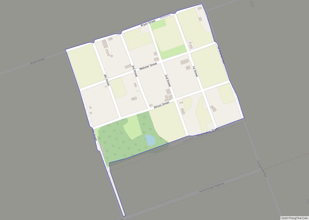
Owing to its role in the state’s history, the county motto is “Where Illinois Began.” It contains the historically important village of Kaskaskia, Illinois’s first capital.
The county is part of Southern Illinois in the southern portion of the state known locally as “Little Egypt”, and includes fertile river flats, part of the American Bottom; it is near the Greater St. Louis area.
| Name: | Randolph County |
|---|---|
| FIPS code: | 17-157 |
| State: | Illinois |
| Founded: | 1795 |
| Named for: | Edmund Randolph |
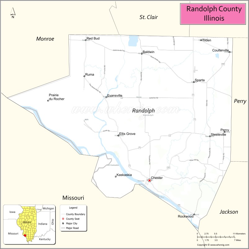
| Seat: | Chester |
| Largest city: | Chester |
| Total Area: | 597 sq mi (1,550 km²) |
| Land Area: | 576 sq mi (1,490 km²) |
| Total Population: | 30,163 |
| Population Density: | 51/sq mi (20/km²) |
| Time zone: | UTC−6 (Central) |
| Summer Time Zone (DST): | UTC−5 (CDT) |
| Website: | am.randolphco.org |
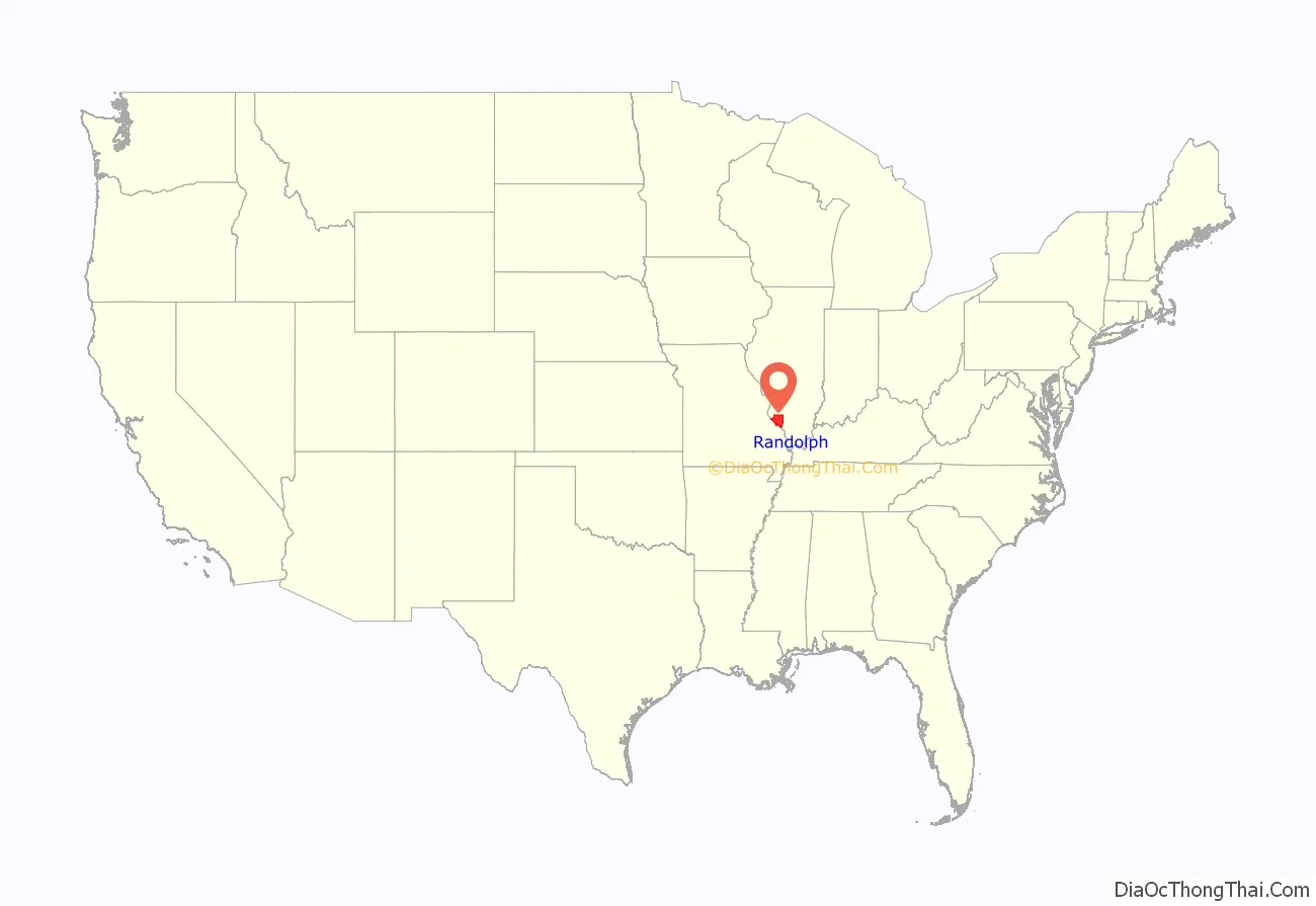
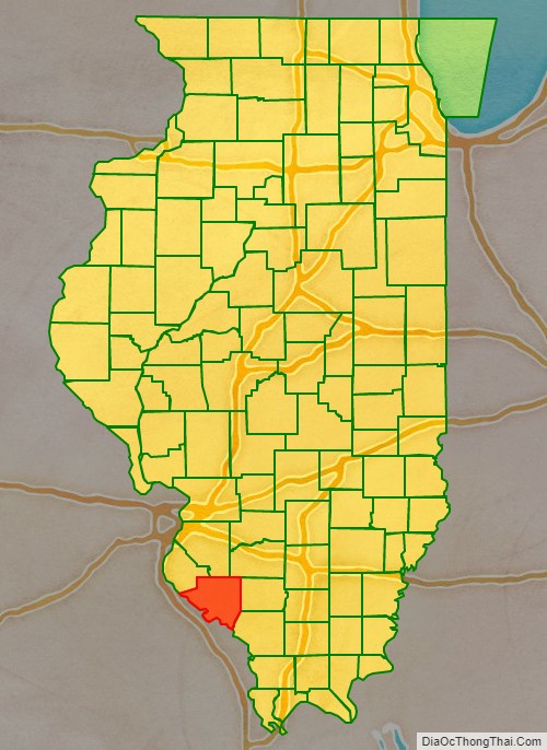
Randolph County location map. Where is Randolph County?
History
Randolph County was organized in 1795 out of a part of St. Clair County. It was named in honor of Edmund Randolph, Governor of Virginia. George Rogers Clark of the army of Virginia captured the area from the British on July 4, 1778, near the end of the Revolutionary War. The area then became the seat, for several years, of Illinois County, Virginia, although the Congress of the Confederation legislated the existence of the Northwest Territory on July 13, 1787. Edmund Randolph was Governor of Virginia at the time Virginia ceded the Northwest Territory to the United States. In 1809, when Illinois became a separate territory, Territorial Secretary Nathaniel Pope, in his capacity as acting governor, issued a proclamation establishing Randolph as one of the Illinois’ two original counties. The county’s boundaries were last changed in 1827, when land was taken to form Perry County.
The Mississippi River has played a prominent role in the county’s history, altering its boundaries in 1881 when it severed the isthmus that connected Kaskaskia to the Illinois mainland, destroying the original village of Kaskaskia and forcing its historic cemetery to be relocated across the river to Fort Kaskaskia. Crains Island [2], southeast of Chester, is another enclave of Illinois west of the Mississippi that was created by a change in the river’s course.
Randolph County as it was re-established in 1809. This diagonal border line had been drawn by the Indiana Territorial government in 1803.
Randolph County between 1812 and 1813
Randolph County between 1813 and 1816
Randolph County between 1816 and 1827
Randolph County in 1827, reduced to its current borders
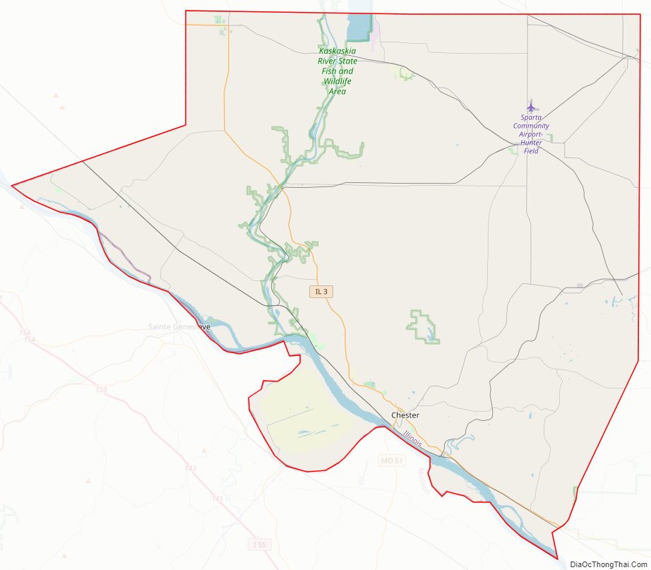
Randolph County Road Map
Geography
According to the U.S. Census Bureau, the county has a total area of 597 square miles (1,550 km), of which 576 square miles (1,490 km) is land and 22 square miles (57 km) (3.6%) is water.
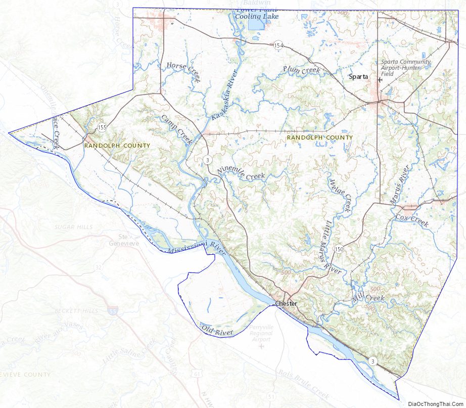
The Kaskaskia River flows into the Mississippi River in Randolph County. At this point the Mississippi, which usually defines the border between Illinois and Missouri, is entirely in Illinois. The Mississippi changed its course in the late-nineteenth century, leaving Kaskaskia, the former state capital, on the west side of the river. The boundary of the State, however, follows the old course of the river, leaving Illinois with an exclave on the western shore of the Mississippi River. A smaller enclave, Crains Island, is a few miles further down the river.
Climate and weather
In recent years, average temperatures in the county seat of Chester have ranged from a low of 22 °F (−6 °C) in January to a high of 91 °F (33 °C) in July, although a record low of −18 °F (−28 °C) was recorded in January 1985 and a record high of 113 °F (45 °C) was recorded in July 2012. Average monthly precipitation ranged from 1.85 inches (47 mm) in January to 4.30 inches (109 mm) in May.
Major highways
- Illinois Route 3
- Illinois Route 4
- Illinois Route 13
- Illinois Route 150
- Illinois Route 153
- Illinois Route 154
- Illinois Route 155
- Illinois Route 159
Adjacent counties
- Monroe County (northwest)
- St. Clair County (north)
- Washington County (northeast)
- Perry County (east)
- Jackson County (southeast)
- Perry County, Missouri (south)
- Ste. Genevieve County, Missouri (southwest)
Randolph County is among the few counties in the United States to border two counties with the same name (Perry County in Missouri and Illinois).
Randolph County Topographic Map
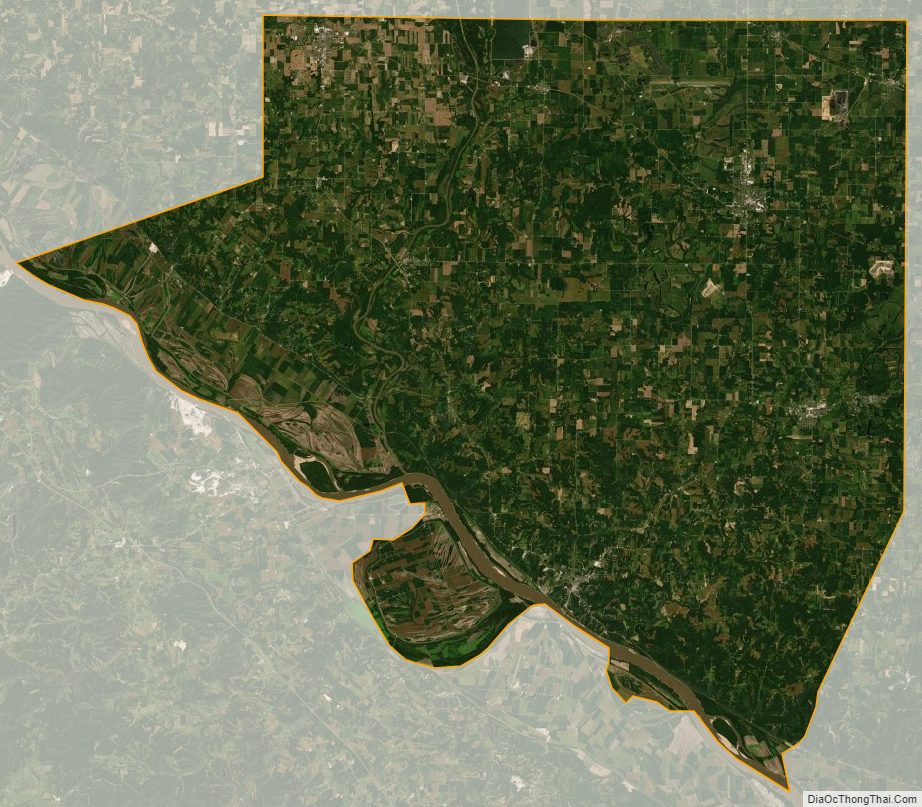
Randolph County Satellite Map
Randolph County Outline Map