Chester is a city in and the county seat of Randolph County, Illinois, United States, on a bluff above the Mississippi River. The population was 6,814 at the 2020 census. It lies 61 miles (98 km) south of St. Louis, Missouri.
| Name: | Chester city |
|---|---|
| LSAD Code: | 25 |
| LSAD Description: | city (suffix) |
| State: | Illinois |
| County: | Randolph County |
| Elevation: | 633 ft (193 m) |
| Total Area: | 5.82 sq mi (15.08 km²) |
| Land Area: | 5.81 sq mi (15.04 km²) |
| Water Area: | 0.02 sq mi (0.04 km²) |
| Total Population: | 6,814 |
| Population Density: | 1,173.61/sq mi (453.14/km²) |
| Area code: | 618 |
| FIPS code: | 1713139 |
| GNISfeature ID: | 2393819 |
| Website: | www.chesterill.com |
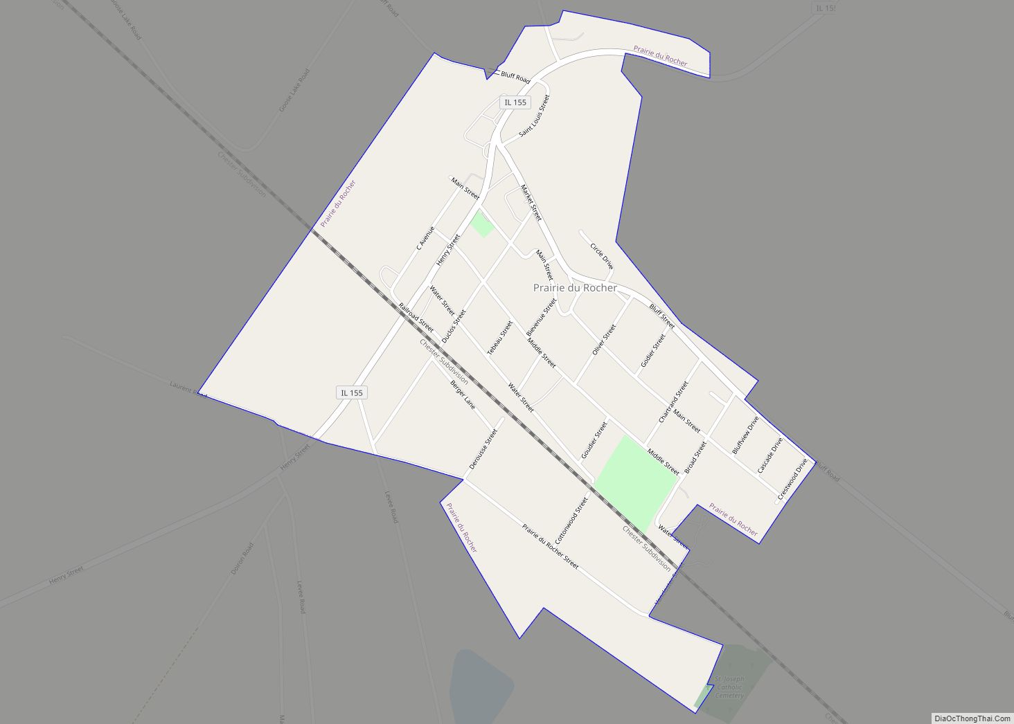
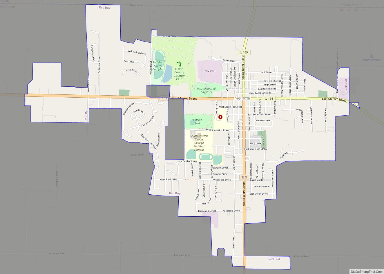
Online Interactive Map
Click on ![]() to view map in "full screen" mode.
to view map in "full screen" mode.
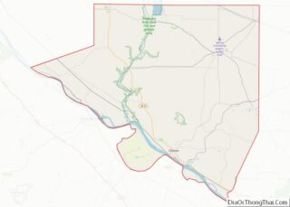
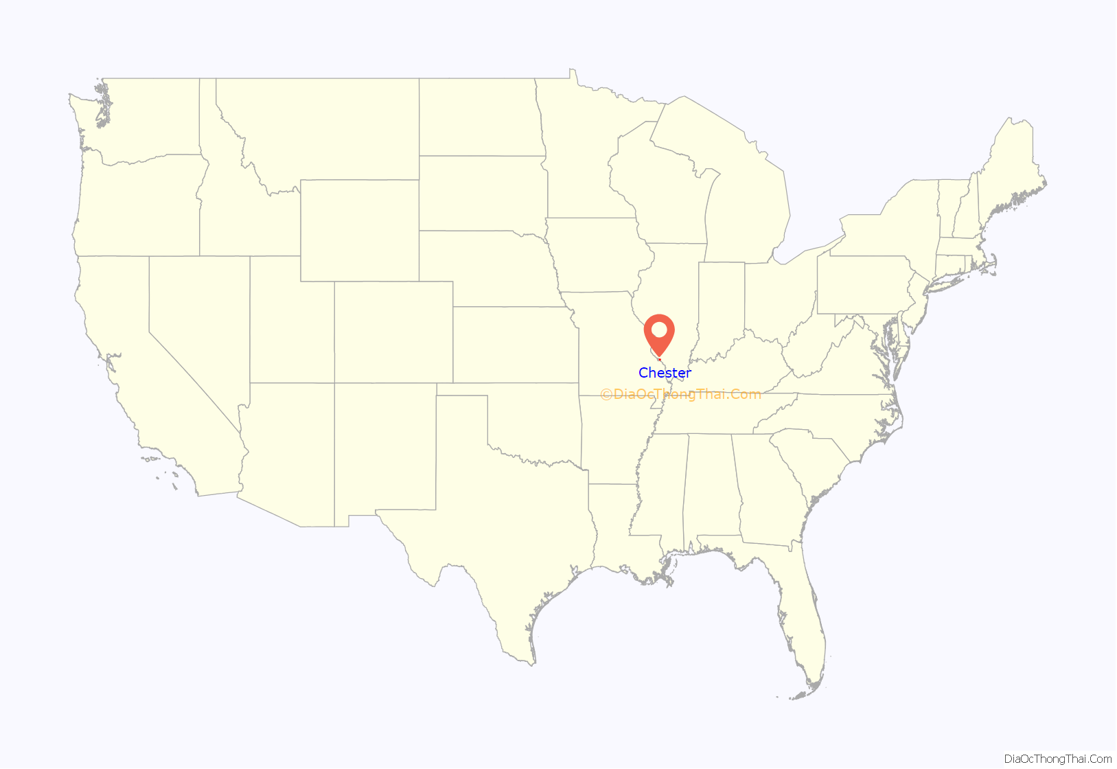
Chester location map. Where is Chester city?
History
Founding
Samuel Smith is said to be the town’s founder because he built the first home in Chester, established a ferry system, and began the construction of a mill in 1829. The town was named after Chester, England, the city from where his wife Jane Smith was from. The first business in Chester was a general store that opened in 1830 along with a castor oil press established by R. B. Servant, who furnished farmers with seed and growing methods to later buy the beans they produced for oil extraction. This was a flourishing business until the petroleum industry made it obsolete. The first wedding in the town of Chester was held on February 4, 1834. Content Walker, the bride and Amzi Andrews, the groom held their wedding in a 16 feet square log cabin.
Cole Milling Company
The H.C. Cole Milling Company was founded by Nathan Cole in 1839. It started out as a small sawmill with a corn-grinding attachment which encouraged the townspeople to plant grains, and in a short time the first Cole flour mill was built. The mill still exists in Chester but it is now operated by Ardent Mills. Nathan Cole also brought the first electric generator to Chester and used the surplus of power from the mill to operate street lights. This was a modern convenience that was not even available in Chicago at that point. The generator is now on display at the Ford Museum in Dearborn, Michigan.
International Shoe Company
In 1916, Messrs. Bronson, Albert Gilster, Frank Wolff and John Herschbach developed the site for the International Shoe Company in the center of town where the Gilster Mary Lee Corp. is today. In 1922, a second building was built, and the company had more than 1000 employees and was producing thousands of pairs of children’s shoes. During World War Two, the factory operated primarily by women produced military/combat boots for the troops in service. In 1953, payroll reached over $2,000,000. The factory was closed by the company in the early 1960s after 45 years of operation.
Prim Hosiery Mill
In 1925, the Prim Hosiery Mill was a knitting mill that began operations under Joshua Richman with 50 employees. The mill grew to employ more than 275 people and produced over 300,000 pairs of stockings a month with annual payroll exceeding $700,000. The knitting mill continued operations through the 1960s. The building still stands as one of the Gilster Mary Lee Corp. factory buildings.
Chester Pool
Construction began for the Chester Pool in 1939 as part of a Works Progress Administration (WPA) public works program to create employment during the Great Depression. It was completed in 1941, although due to the delivery of the filtration system being delayed it did not officially open until May 30, 1942, under the management of William Weber. A total of 250 swimmers visited the swimming pool in the first week and were charged 15 cents for weekdays and 25 cents for weekends.
Due to leaks and other deterioration issues, as well as high repair costs, the pool has been closed since 2014.
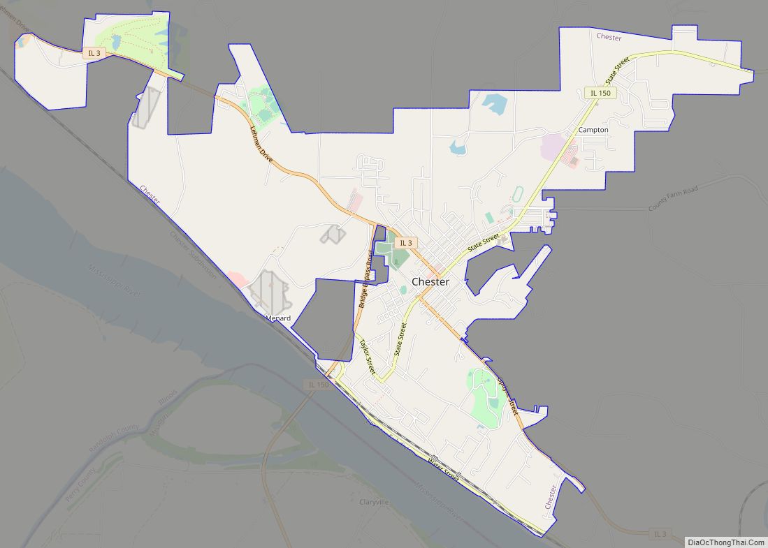
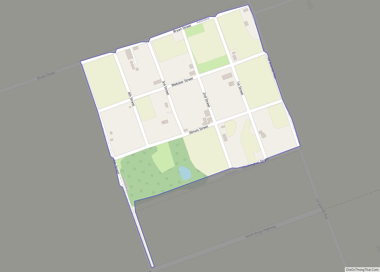
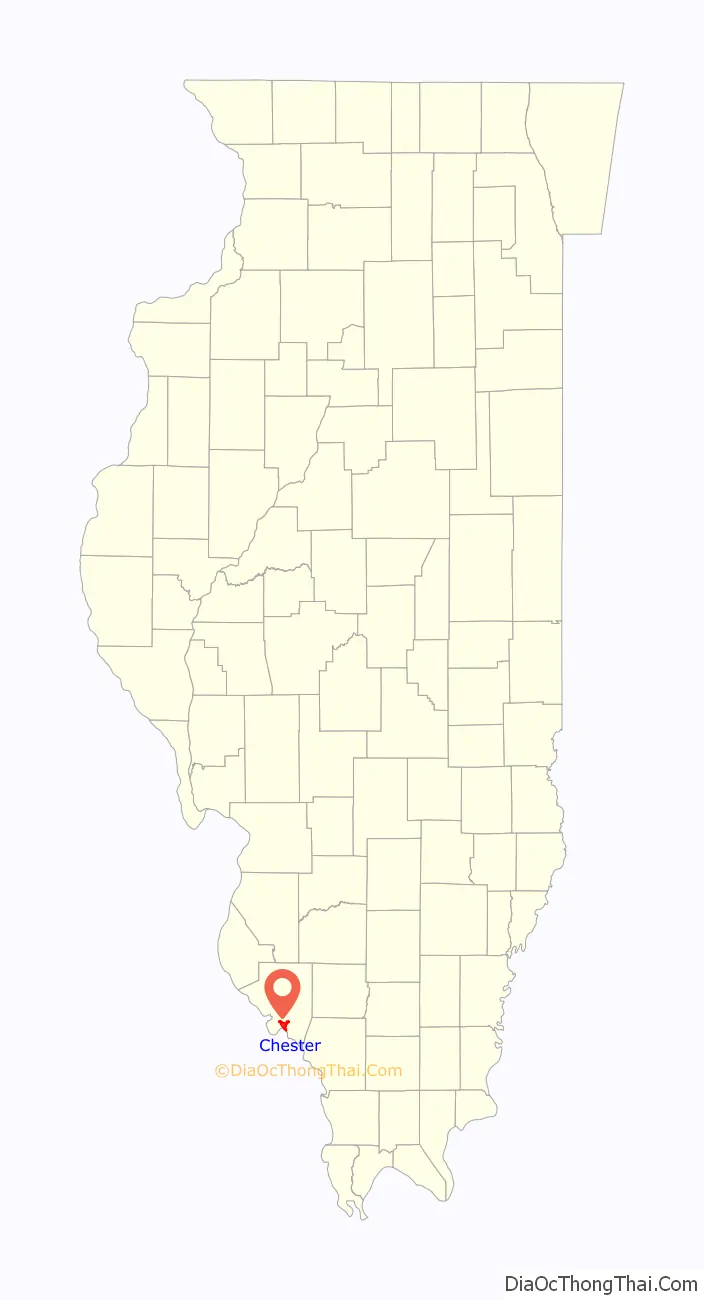
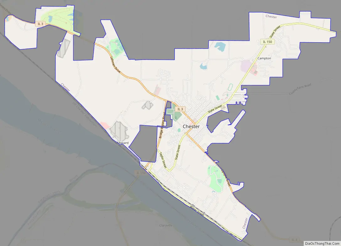
Chester Road Map
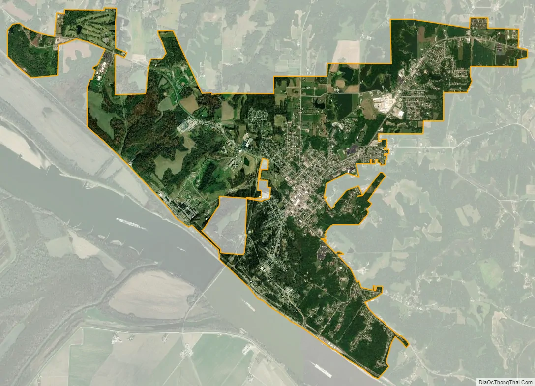
Chester city Satellite Map
Geography
Chester is located at 37°54′50″N 89°49′23″W / 37.91389°N 89.82306°W / 37.91389; -89.82306Coordinates: 37°54′50″N 89°49′23″W / 37.91389°N 89.82306°W / 37.91389; -89.82306 (37.913947, -89.823140).
According to the 2010 census, Chester has a total area of 5.826 square miles (15.09 km), of which 5.81 square miles (15.05 km) (or 99.73%) is land and 0.016 square miles (0.04 km) (or 0.27%) is water.
See also
Map of Illinois State and its subdivision:- Adams
- Alexander
- Bond
- Boone
- Brown
- Bureau
- Calhoun
- Carroll
- Cass
- Champaign
- Christian
- Clark
- Clay
- Clinton
- Coles
- Cook
- Crawford
- Cumberland
- De Kalb
- De Witt
- Douglas
- Dupage
- Edgar
- Edwards
- Effingham
- Fayette
- Ford
- Franklin
- Fulton
- Gallatin
- Greene
- Grundy
- Hamilton
- Hancock
- Hardin
- Henderson
- Henry
- Iroquois
- Jackson
- Jasper
- Jefferson
- Jersey
- Jo Daviess
- Johnson
- Kane
- Kankakee
- Kendall
- Knox
- La Salle
- Lake
- Lake Michigan
- Lawrence
- Lee
- Livingston
- Logan
- Macon
- Macoupin
- Madison
- Marion
- Marshall
- Mason
- Massac
- McDonough
- McHenry
- McLean
- Menard
- Mercer
- Monroe
- Montgomery
- Morgan
- Moultrie
- Ogle
- Peoria
- Perry
- Piatt
- Pike
- Pope
- Pulaski
- Putnam
- Randolph
- Richland
- Rock Island
- Saint Clair
- Saline
- Sangamon
- Schuyler
- Scott
- Shelby
- Stark
- Stephenson
- Tazewell
- Union
- Vermilion
- Wabash
- Warren
- Washington
- Wayne
- White
- Whiteside
- Will
- Williamson
- Winnebago
- Woodford
- Alabama
- Alaska
- Arizona
- Arkansas
- California
- Colorado
- Connecticut
- Delaware
- District of Columbia
- Florida
- Georgia
- Hawaii
- Idaho
- Illinois
- Indiana
- Iowa
- Kansas
- Kentucky
- Louisiana
- Maine
- Maryland
- Massachusetts
- Michigan
- Minnesota
- Mississippi
- Missouri
- Montana
- Nebraska
- Nevada
- New Hampshire
- New Jersey
- New Mexico
- New York
- North Carolina
- North Dakota
- Ohio
- Oklahoma
- Oregon
- Pennsylvania
- Rhode Island
- South Carolina
- South Dakota
- Tennessee
- Texas
- Utah
- Vermont
- Virginia
- Washington
- West Virginia
- Wisconsin
- Wyoming