Washington County is a county located in the U.S. state of Illinois. As of the 2010 census, it had a population of 14,716. Its county seat is Nashville. It is located in the southern portion of Illinois known locally as “Little Egypt”.
| Name: | Washington County |
|---|---|
| FIPS code: | 17-189 |
| State: | Illinois |
| Founded: | January 2, 1818 |
| Named for: | George Washington |
| Seat: | Nashville |
| Largest city: | Nashville |
| Total Area: | 564 sq mi (1,460 km²) |
| Land Area: | 563 sq mi (1,460 km²) |
| Total Population: | 14,716 |
| Population Density: | 26/sq mi (10/km²) |
| Time zone: | UTC−6 (Central) |
| Summer Time Zone (DST): | UTC−5 (CDT) |
| Website: | www.washingtonco.illinois.gov |
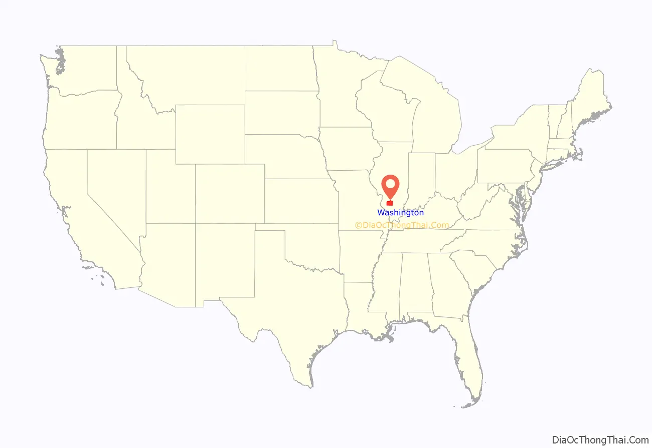
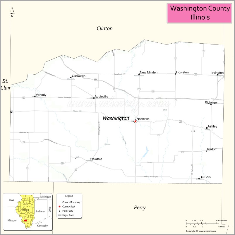
Washington County location map. Where is Washington County?
History
Washington County was formed on January 2, 1818, out of St. Clair County. It was named for George Washington. Despite its relative proximity to the Illinois suburbs of St. Louis, Missouri, the county is not considered part of the St. Louis metropolitan area, also known as the Metro-East. In 1813, the Lively Massacre occurred near Little Crooked Creek. In 1959, the state established the Washington County State Recreation Area. Washington County was initially settled by immigrants from Kentucky who moved northward out of that state in the early 1800s. In the late 1800s there were (relatively) large numbers of immigrants who settled in Washington County, and by the early 1900s there were large numbers of first-generation immigrants still living in Washington County. They primarily came from the four countries of Germany, Poland, Ireland and England.
Washington County from its 1818 creation to 1824
Washington County in 1824, reduced to its current borders by the creation of Clinton County
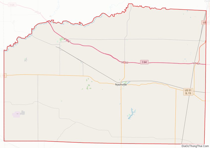
Washington County Road Map
Geography
According to the U.S. Census Bureau, the county has a total area of 564 square miles (1,460 km), of which 563 square miles (1,460 km) is land and 1.3 square miles (3.4 km) (0.2%) is water. There are many lakes, rivers, streams, and creeks in this area, including the Kaskaskia River, which is the county’s northern border.
Climate and weather
In recent years, average temperatures in Nashville have ranged from a low of 22 °F (−6 °C) in January to a high of 88 °F (31 °C) in July, although a record low of −21 °F (−29 °C) was recorded in December 1989 and a record high of 106 °F (41 °C) was recorded in July 1980. Average monthly precipitation ranged from 2.18 inches (55 mm) in January to 4.10 inches (104 mm) in May. On November 17, 2013, an EF4 tornado swept through the area, destroying homes and causing two fatalities.
Major highways
- Interstate 64
- U.S. Highway 51
- Illinois Route 4
- Illinois Route 13
- Illinois Route 15
- Illinois Route 127
- Illinois Route 153
- Illinois Route 177
- Illinois Route 160
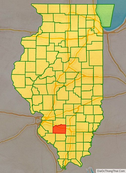
Adjacent counties
- Clinton County (north)
- Marion County (northeast)
- Jefferson County (east)
- Perry County (south)
- Randolph County (southwest)
- St. Clair County (west)
Washington County Topographic Map
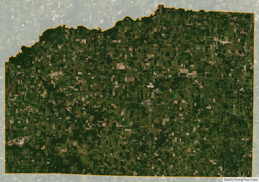
Washington County Satellite Map
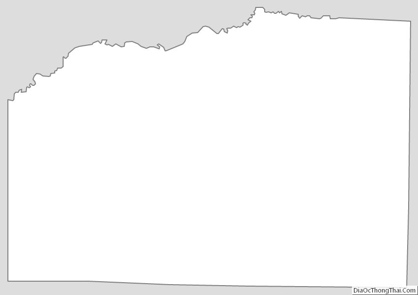
Washington County Outline Map