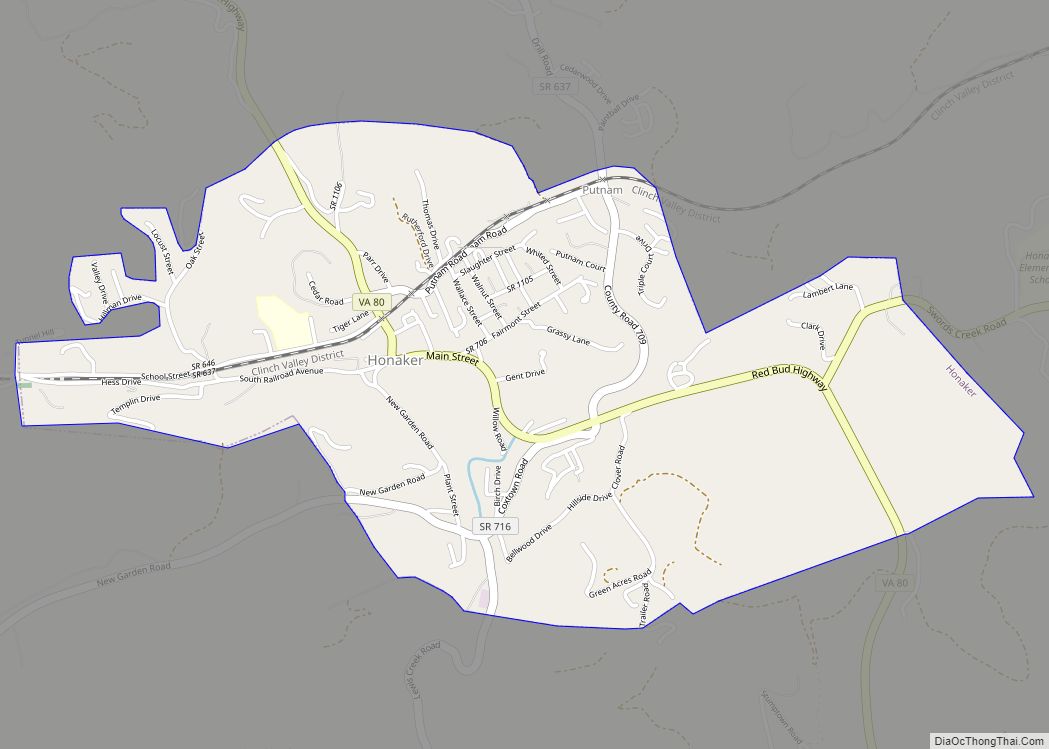
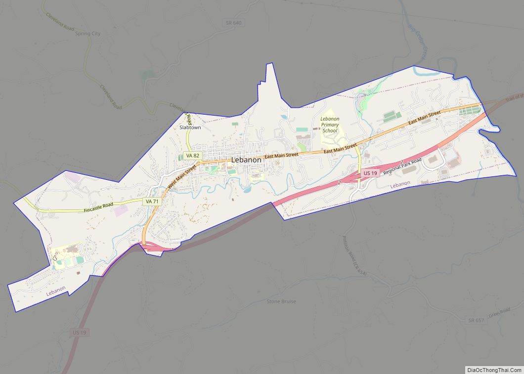
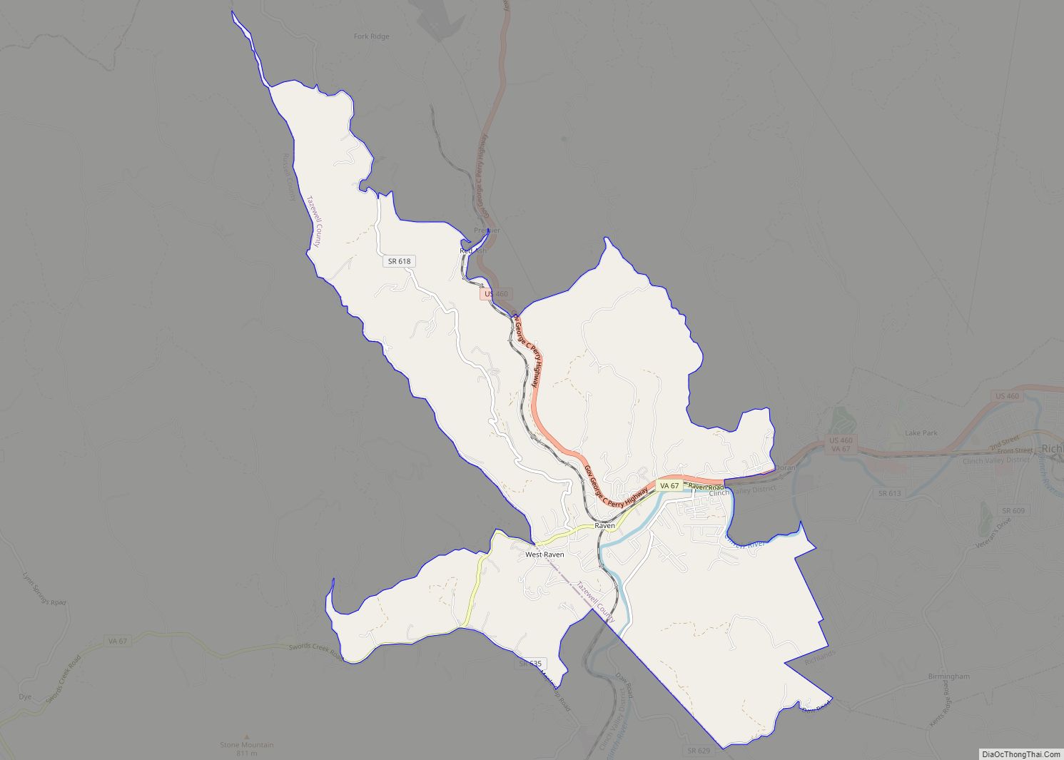
Russell County (/rʌs.səl/) is a county located in the Commonwealth of Virginia. As of the 2020 census, the population was 25,781. Its county seat is Lebanon.
| Name: | Russell County |
|---|---|
| FIPS code: | 51-167 |
| State: | Virginia |
| Founded: | January 2, 1786 |
| Named for: | William Russell |
| Seat: | Lebanon |
| Largest town: | Lebanon |
| Total Area: | 477 sq mi (1,240 km²) |
| Land Area: | 474 sq mi (1,230 km²) |
| Total Population: | 25,781 |
| Population Density: | 54/sq mi (21/km²) |
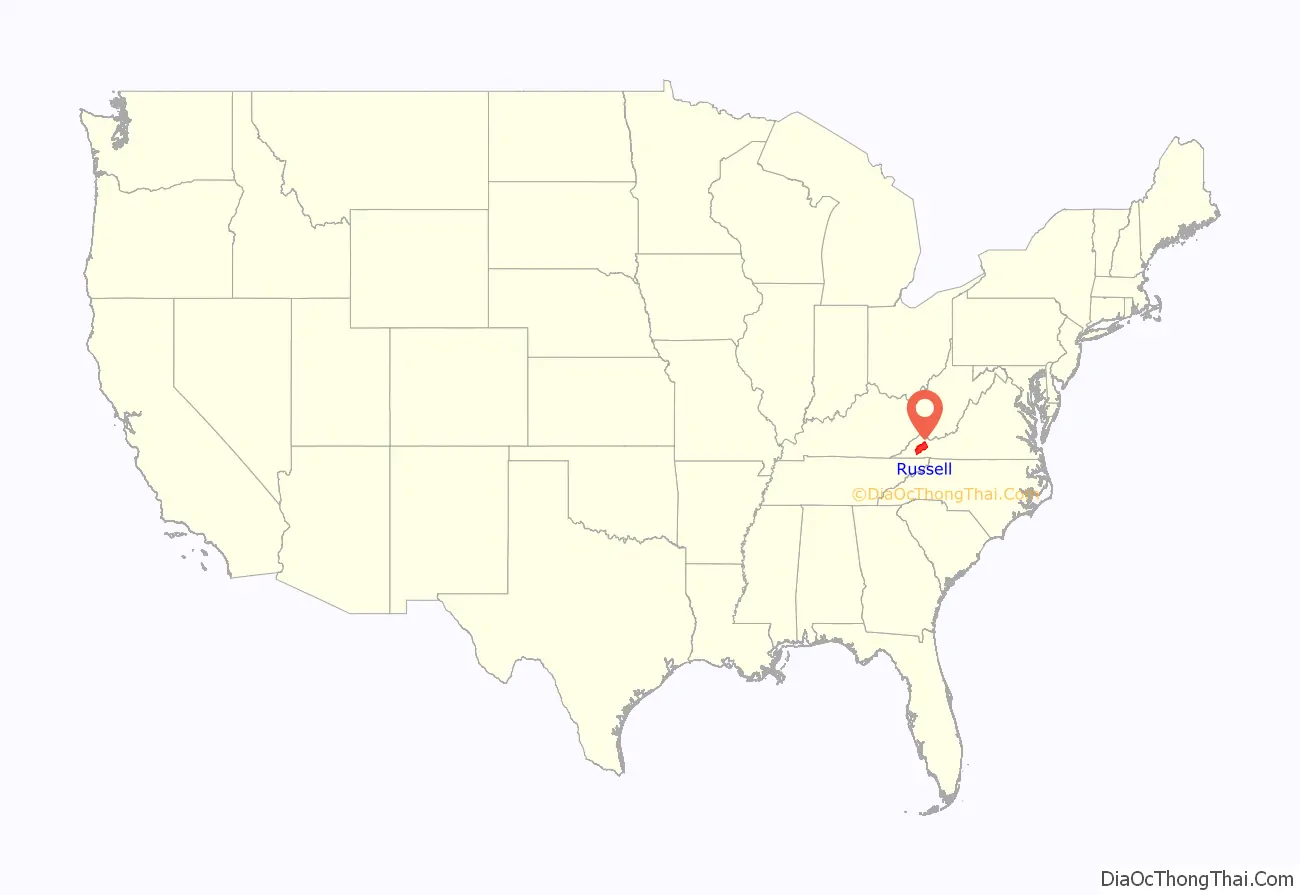
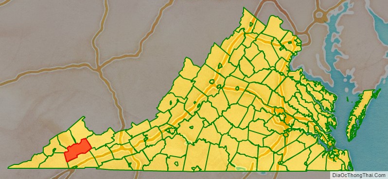
Russell County location map. Where is Russell County?
History
On January 2, 1786, Russell County was established from a section of Washington County. L.P. Summers, a Washington County historian later wrote, “Washington County lost a great extent of country and many valuable citizens when Russell County was formed.” The county was named for Culpeper County native Colonel William Russell.
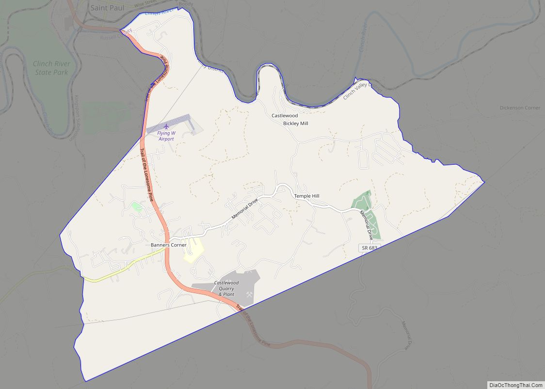
The first court met in May 1786 in the Castle’s Woods settlement (present-day Castlewood) in the house of William Robinson. Later, a new place was built to house the County Seat. The structure used as a courthouse still stands, and is referred to as “The Old Courthouse.” The present Courthouse, located in Lebanon, has been in use since 1874. Once vast, Russell County was split several times, giving rise to Tazewell County, Lee County, Scott County, Wise County, Buchanan County and Dickenson County.
Among Russell County’s most famous politicians were Daniel Boone, Governor H.C. Stuart, State Representative Boyd C. Fugate and State Senator Macon M. Long. The largest cattle farm East of the Mississippi River, and one of the oldest corporations in the country, Stuart Land & Cattle, remains headquartered at Rosedale in Russell County.
Much of the county’s history has been documented Clinch Valley Times, the Tazewell Republican, the Abingdon Virginian, and the Lebanon News.
Russell County Road Map
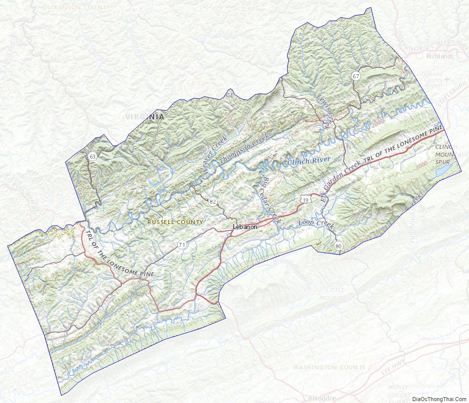
Geography
According to the U.S. Census Bureau, the county has a total area of 477 square miles (1,240 km), of which 474 square miles (1,230 km) is land and 2.9 square miles (7.5 km) (0.6%) is water.
The county has the fourth highest peak in Virginia, Beartown Mountain.
Adjacent counties
- Dickenson County – northwest
- Buchanan County – north
- Tazewell County – east
- Smyth County – southeast
- Washington County – south
- Scott County – southwest
- Wise County – west
Major highways
- US 19
- US 58 Alt.
- SR 63
- SR 65
- SR 67
- SR 71
- SR 80
- SR 82
Russell County Topographic Map
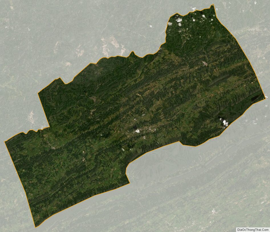
Russell County Satellite Map
Russell County Outline Map