Buchanan County (/bə.kæn.ən/) is a United States county in far western Virginia, the only county in the state to border both West Virginia and Kentucky. The county is part of the Southwest Virginia region and lies in the rugged Appalachian Plateau portion of the Appalachian Mountains. Its county seat is Grundy.
Buchanan County was established in 1858 from parts of Russell and Tazewell counties, and it was named in honor of then-President James Buchanan. Local pronunciation differs from that of the 15th president’s surname; here the county is pronounced as “Búh-can-nin”. In 1880, part of Buchanan County was taken to form Dickenson County.
As of the 2020 census, the county population was 20,355. Its population has decreased by double digits over the last forty years. As of 2012, Buchanan was the fifth-poorest county in Virginia, when ranked by median household income; it has consistently been in the bottom 5% over the past decade.
| Name: | Buchanan County |
|---|---|
| FIPS code: | 51-027 |
| State: | Virginia |
| Founded: | 1858 |
| Named for: | James Buchanan |
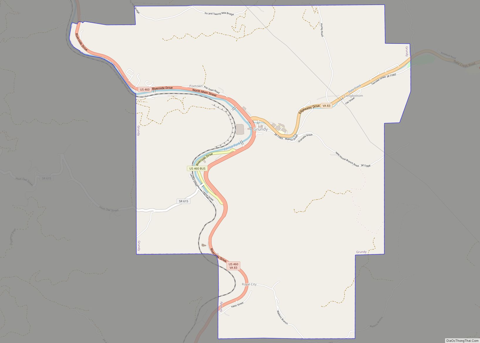
| Seat: | Grundy |
| Largest town: | Grundy |
| Total Area: | 504 sq mi (1,310 km²) |
| Land Area: | 503 sq mi (1,300 km²) |
| Total Population: | 20,355 |
| Population Density: | 40/sq mi (16/km²) |
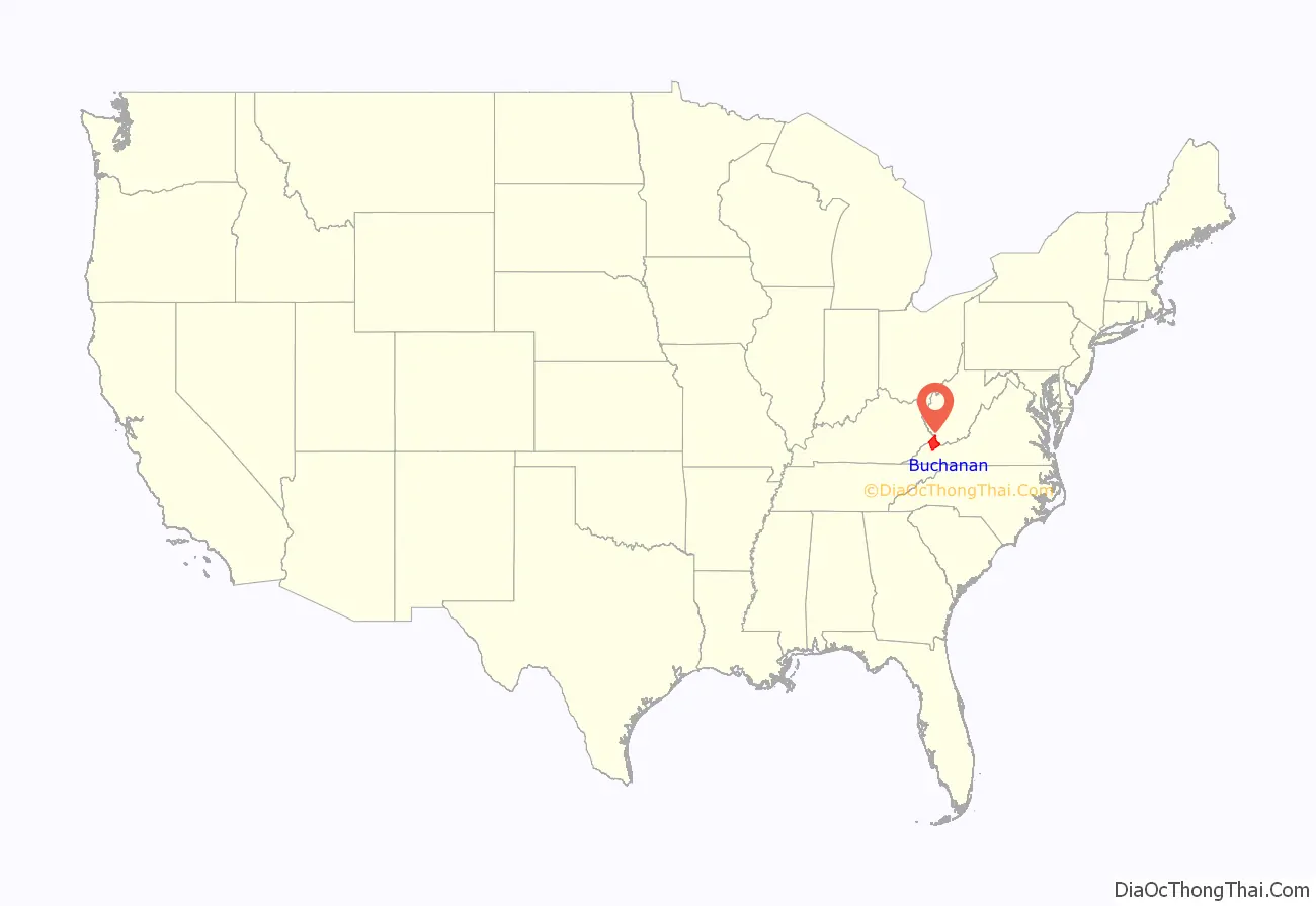
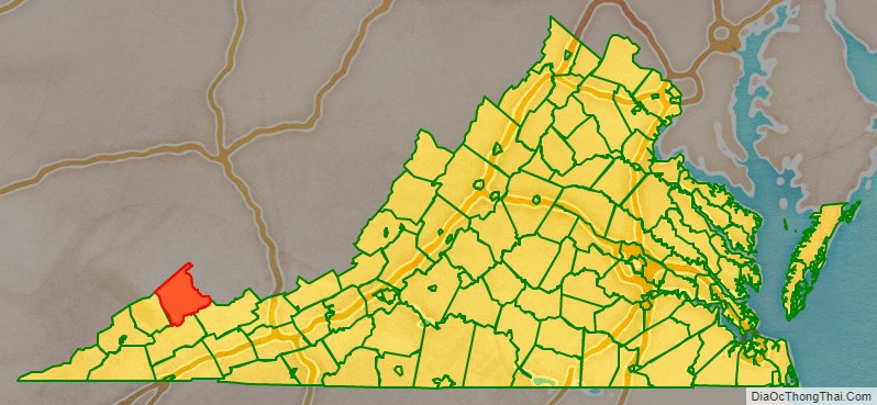
Buchanan County location map. Where is Buchanan County?
History
The county was formed in 1858 from parts of Russell and Tazewell counties. It was named for James Buchanan, the 15th President of the United States. In 1876, Grundy was chosen and designated by the legislature as the county seat of Buchanan County, it was named in honor of Felix Grundy, a United States Senator from Tennessee.
In 1880, the southwestern part of Buchanan County was combined with parts of Russell and Wise counties to become Dickenson County.
Helen Timmons Henderson (1877–1925) participated in the work of the Buchanan Mission School at Council, Virginia. She and Sarah Lee Fain (1888–1962) of Norfolk were the first two women to be elected to the Virginia General Assembly. They were both Democrats in the House of Delegates. When Henderson was in office, delegates approved construction of 6.2 miles (10.0 km) of improved road to be built from Russell County, across Big “A” Mountain, to Council. What is now Route 80 is also known as “Helen Henderson Highway”.
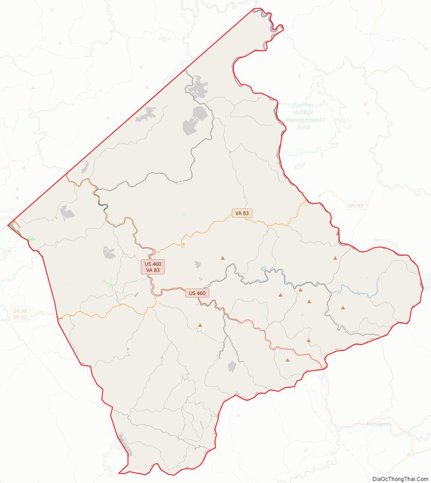
Buchanan County Road Map
Geography
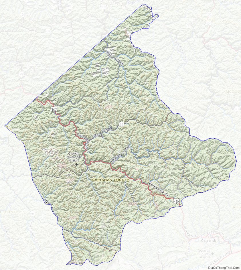
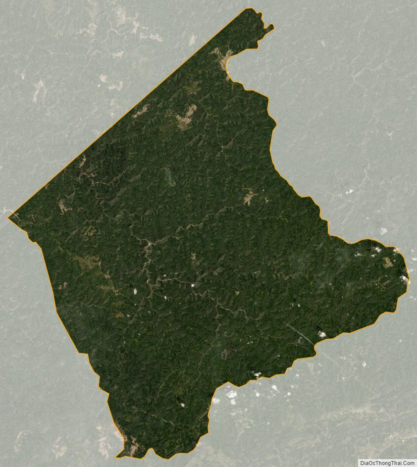
According to the U.S. Census Bureau, the county has a total area of 503.8 square miles (1,304.8 km), of which 502.7 square miles (1,302.0 km) is land and 1.1 square miles (2.8 km) (0.2%) is water. Outdoor recreation is provided by Poplar Gap Park near Grundy and William P. Harris Park located in Council.
Districts
The county is divided into seven supervisor districts: Garden, Hurricane, Knox, North Grundy, Prater, Rock Lick, and South Grundy.
Adjacent counties
- Mingo County, West Virginia – north
- McDowell County, West Virginia – east
- Tazewell County, Virginia – southeast
- Russell County, Virginia – south
- Dickenson County, Virginia – southwest
- Pike County, Kentucky – northwest
Major highways
- US 460
- SR 80
- SR 83
Buchanan County Topographic Map
Buchanan County Satellite Map
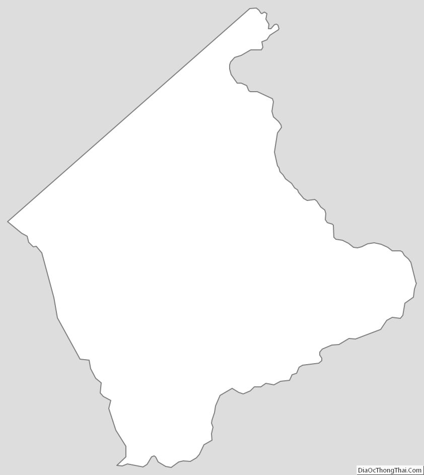
Buchanan County Outline Map