Rutherford County is a county in the southwestern area of the U.S. state of North Carolina. As of the 2020 census, the population was 64,444. Its county seat is Rutherfordton.
Rutherford County comprises the Forest City, NC Micropolitan Statistical Area.
| Name: | Rutherford County |
|---|---|
| FIPS code: | 37-161 |
| State: | North Carolina |
| Founded: | April 14, 1779 |
| Named for: | Griffith Rutherford |
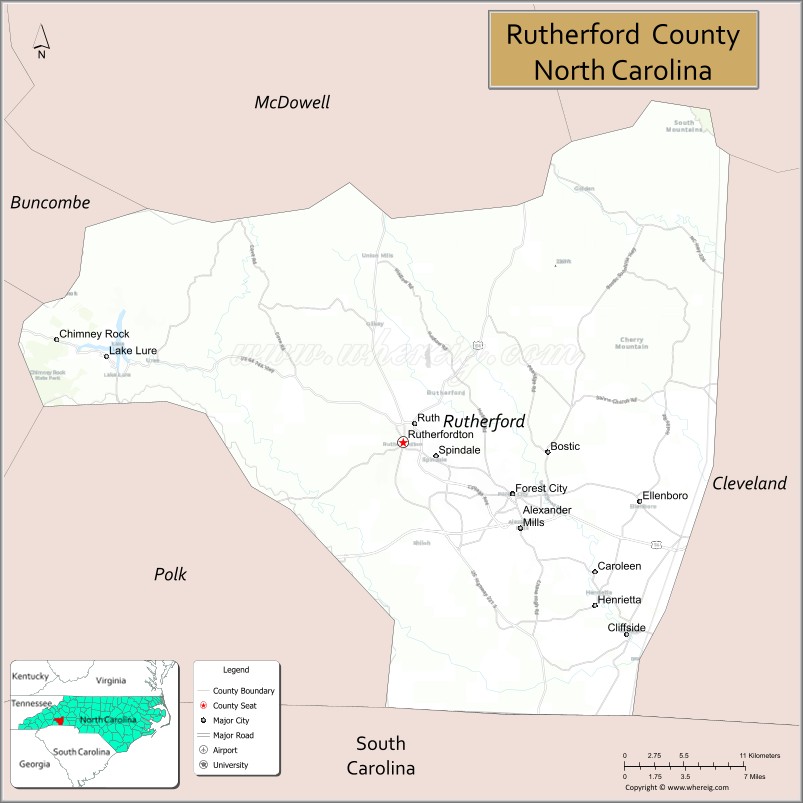
| Seat: | Rutherfordton |
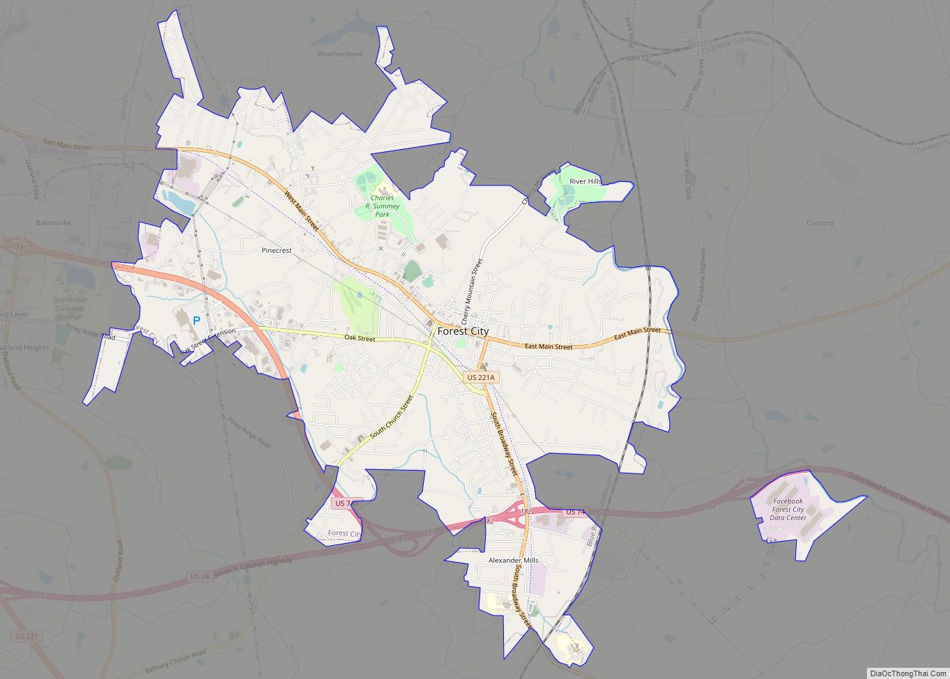
| Largest town: | Forest City |
| Total Area: | 566 sq mi (1,470 km²) |
| Land Area: | 564 sq mi (1,460 km²) |
| Total Population: | 64,444 |
| Population Density: | 110/sq mi (44/km²) |
| Time zone: | UTC−5 (Eastern) |
| Summer Time Zone (DST): | UTC−4 (EDT) |
| Website: | rutherfordcountync.gov |
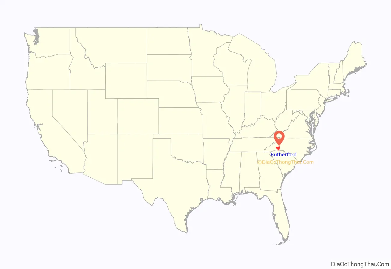
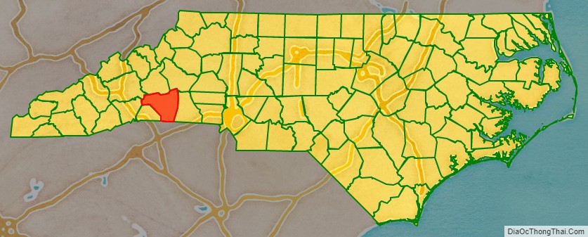
Rutherford County location map. Where is Rutherford County?
History
The county was formed in 1779 from the western part of the former Tryon County. It was named for Griffith Rutherford, leader of an expedition against the Cherokee in 1776 and a general in the American Revolutionary War.
In 1791 parts of Rutherford County and Burke County were combined to form Buncombe County. In 1841 parts of Rutherford and Lincoln counties were combined to form Cleveland County. In 1842 additional parts of Rutherford and Burke counties were combined to form McDowell County. Finally, in 1855, parts of Rutherford and Henderson counties were combined to form Polk County.
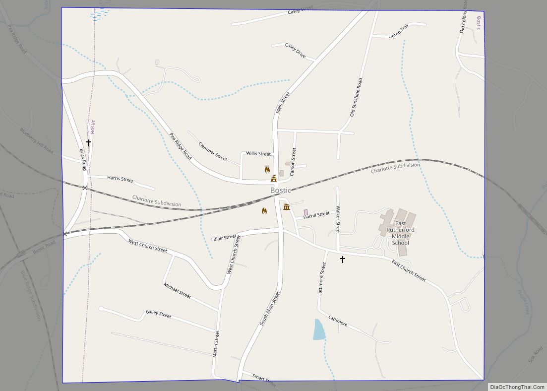
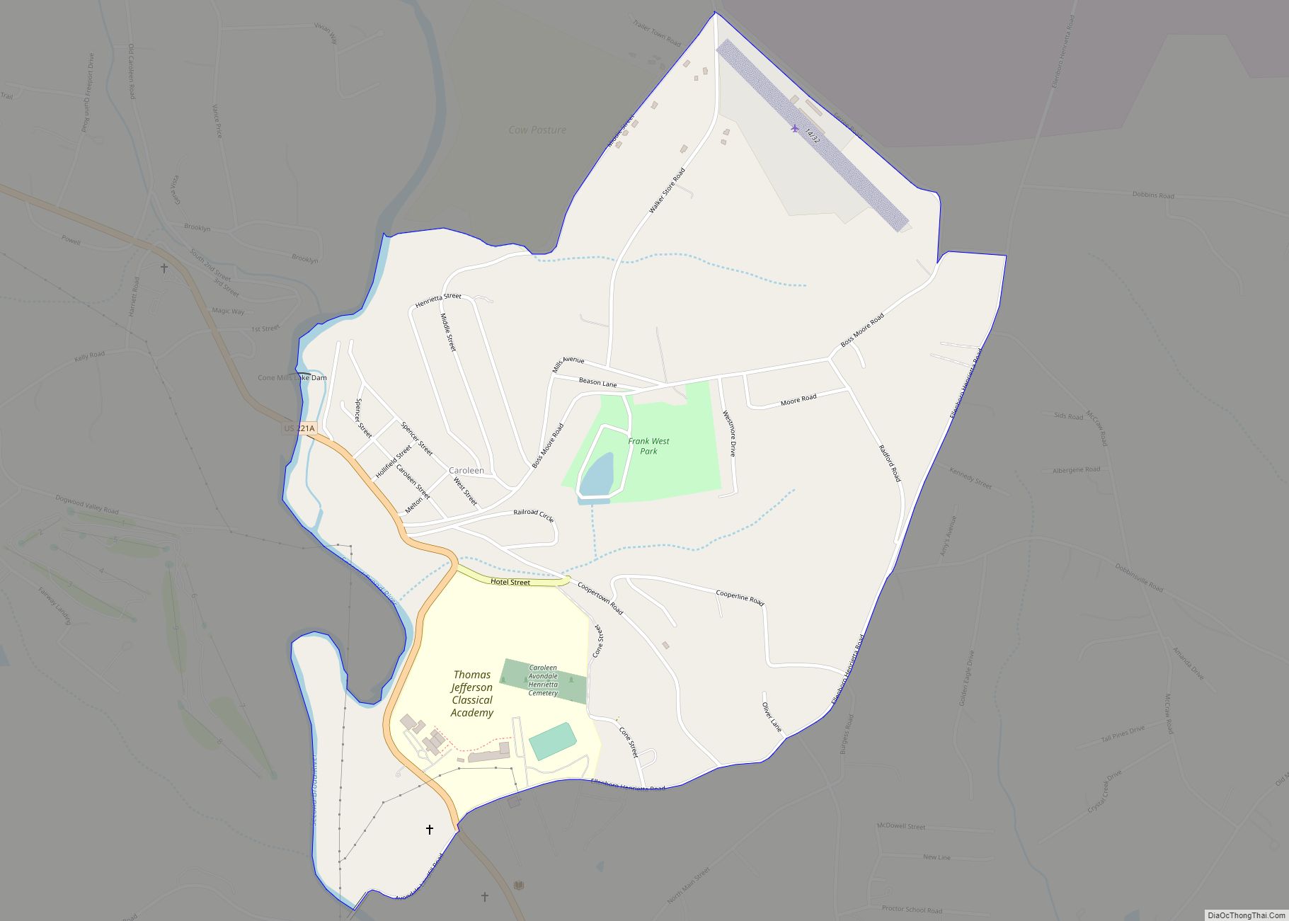
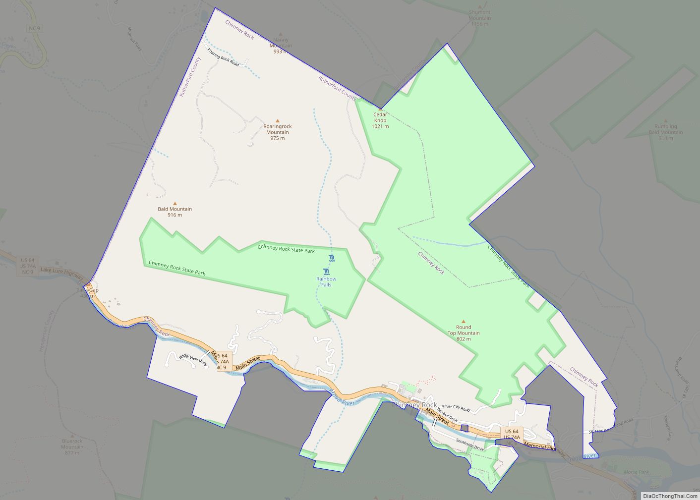
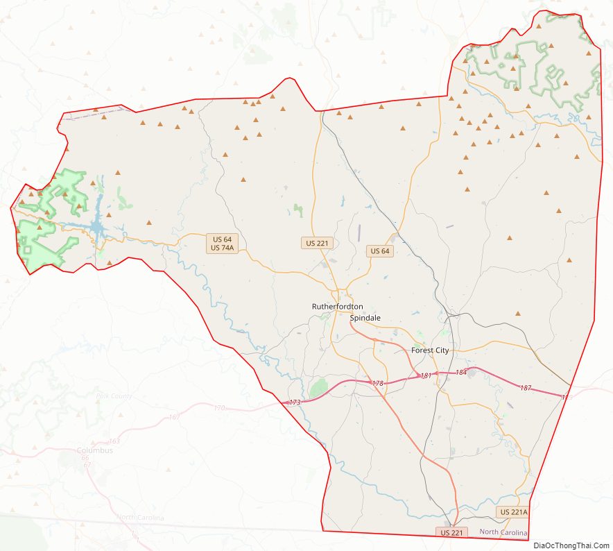
Rutherford County Road Map
Geography
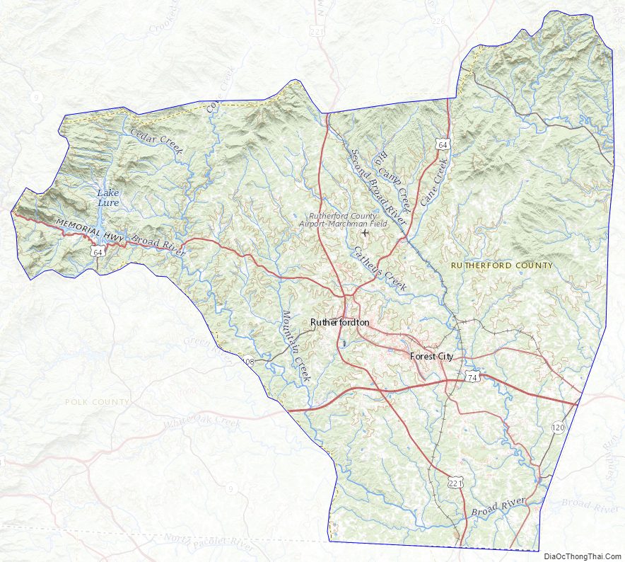
According to the U.S. Census Bureau, the county has a total area of 566 square miles (1,470 km), of which 564 square miles (1,460 km) is land and 1.7 square miles (4.4 km) (0.3%) is water.
State and local protected areas
- Bechtler Mint Site Historic Park
- Bradley Nature Preserve at Alexander’s Ford (part)
- Chimney Rock State Park (part)
- Purple Martin Greenway Trail
- South Mountains Game Lands (part)
- South Mountains State Park (part)
Major water bodies
- Broad River
- Catheys Creek
- Cedar Creek
- Duncans Creek
- Floyds Creek
- Green River
- Hills Creek
- Hollands Creek
- Lake Lure
- McKinney Creek
- Mountain Creek
- North Fork First Broad Creek
- Roberson Creek
- Second Broad River
Adjacent counties
- McDowell County – north
- Burke County – northeast
- Cleveland County – east
- Cherokee County, South Carolina – south
- Spartanburg County, South Carolina – south
- Polk County – southwest
- Henderson County – west
- Buncombe County – northwest
Major highways
- US 64
- US 74
- US 74A
- US 74 Bus.
- US 221
- US 221A
- NC 9
- NC 108
- NC 120
- NC 226
Major infrastructure
- Rutherford County Airport (KFQD)
- Summey Airpark (8NC2), near Forest City
Rutherford County Topographic Map
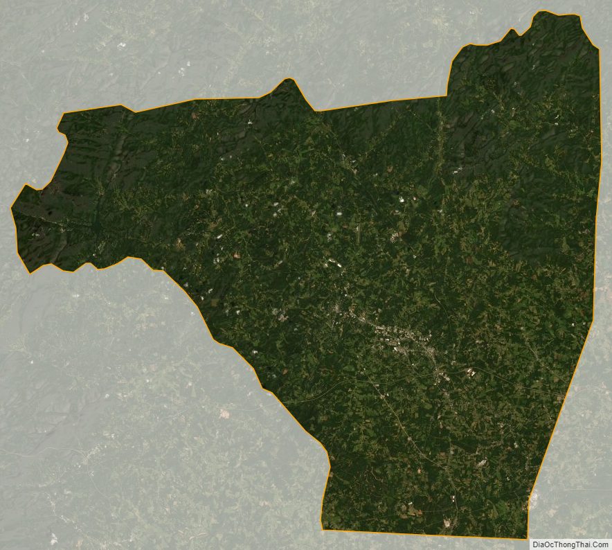
Rutherford County Satellite Map
Rutherford County Outline Map