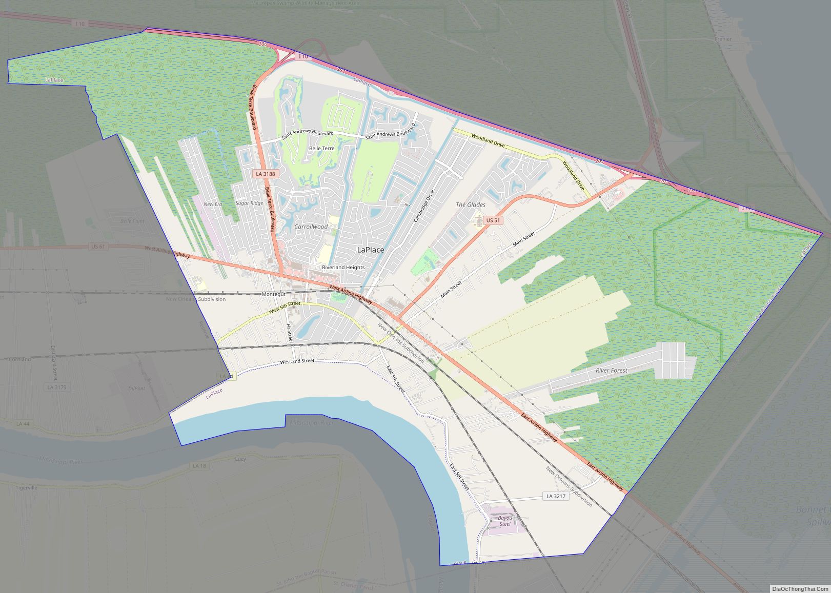
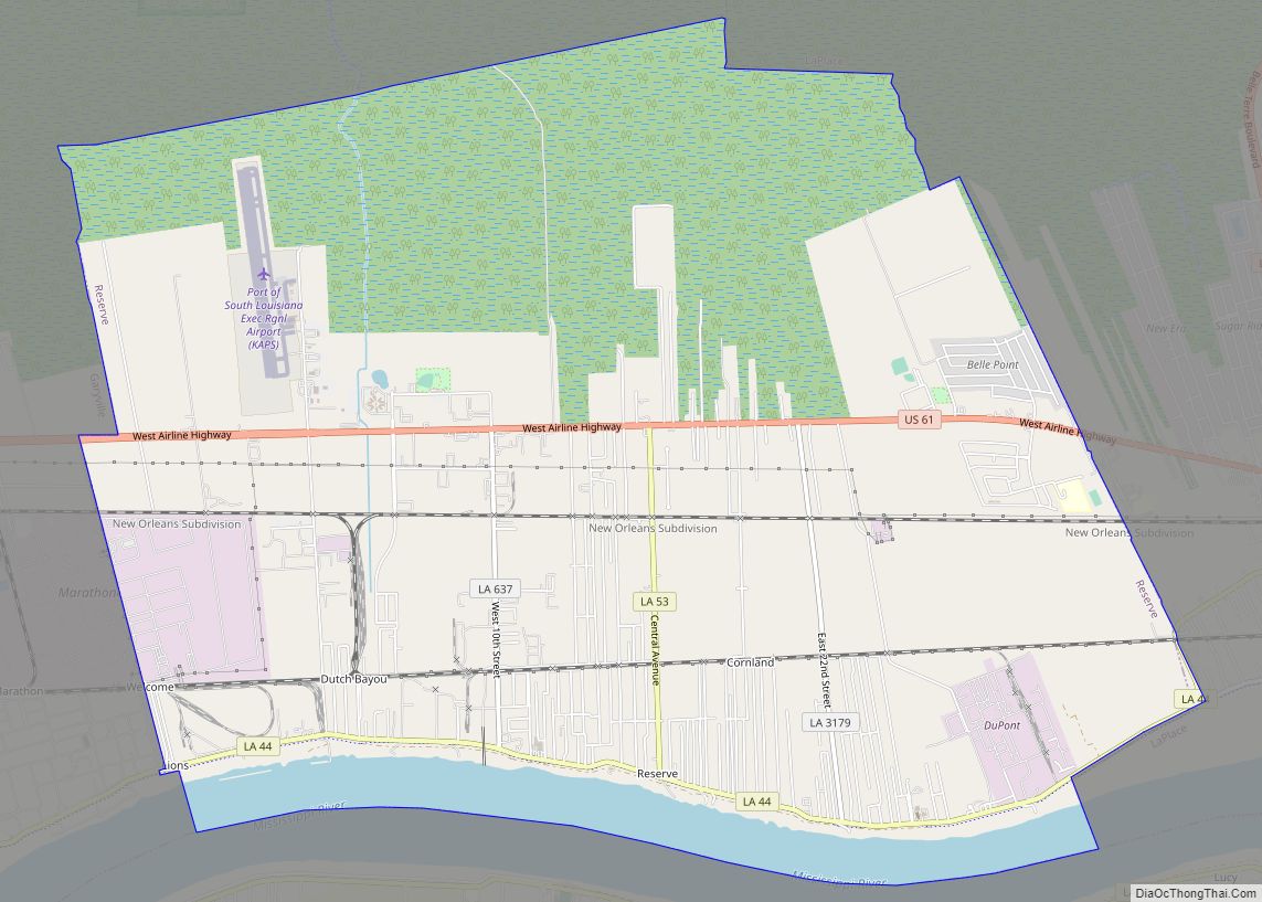
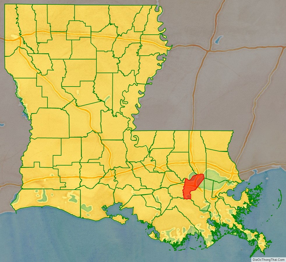
St. John the Baptist Parish (SJBP, French: Paroisse de Saint-Jean-Baptiste) is a parish located in the U.S. state of Louisiana. At the 2020 census, the population was 42,477. The parish seat is Edgard, an unincorporated area, and the largest city is LaPlace, which is also unincorporated.
St. John the Baptist Parish was established in 1807 as one of the original 19 parishes of the Territory of Orleans, which became the state of Louisiana.
St. John the Baptist Parish is part of the New Orleans–Metairie metropolitan statistical area.
This was considered part of the German Coast in the 18th and 19th centuries, named for numerous German immigrants who settled along the Mississippi River here in the 1720s. On January 8, 1811, the largest slave insurrection in US history, known as the German Coast Uprising, started here. It was short-lived, but more than 200 slaves gathered from plantations along the river and marched through St. Charles Parish toward New Orleans. This is part of the Sugarland or sugar parishes, which were devoted to sugar cane cultivation. Planters used large numbers of enslaved African-Americans before the war, and numerous freedmen stayed in the area to work on these plantations afterward.
The parish includes three nationally significant examples of 19th-century plantation architecture: Evergreen Plantation, Whitney Plantation Historic District, and San Francisco Plantation House.
| Name: | St. John the Baptist Parish |
|---|---|
| FIPS code: | 22-095 |
| State: | Louisiana |
| Founded: | 1807 |
| Named for: | St. John the Baptist Catholic Church in Edgard, built 1772 |
| Seat: | Edgard |
| Total Area: | 348 sq mi (900 km²) |
| Land Area: | 213 sq mi (550 km²) |
| Total Population: | 42,477 |
| Population Density: | 199.42/sq mi (77.00/km²) |
| Time zone: | UTC−6 (Central) |
| Summer Time Zone (DST): | UTC−5 (CDT) |
| Website: | www.sjbparish.com |
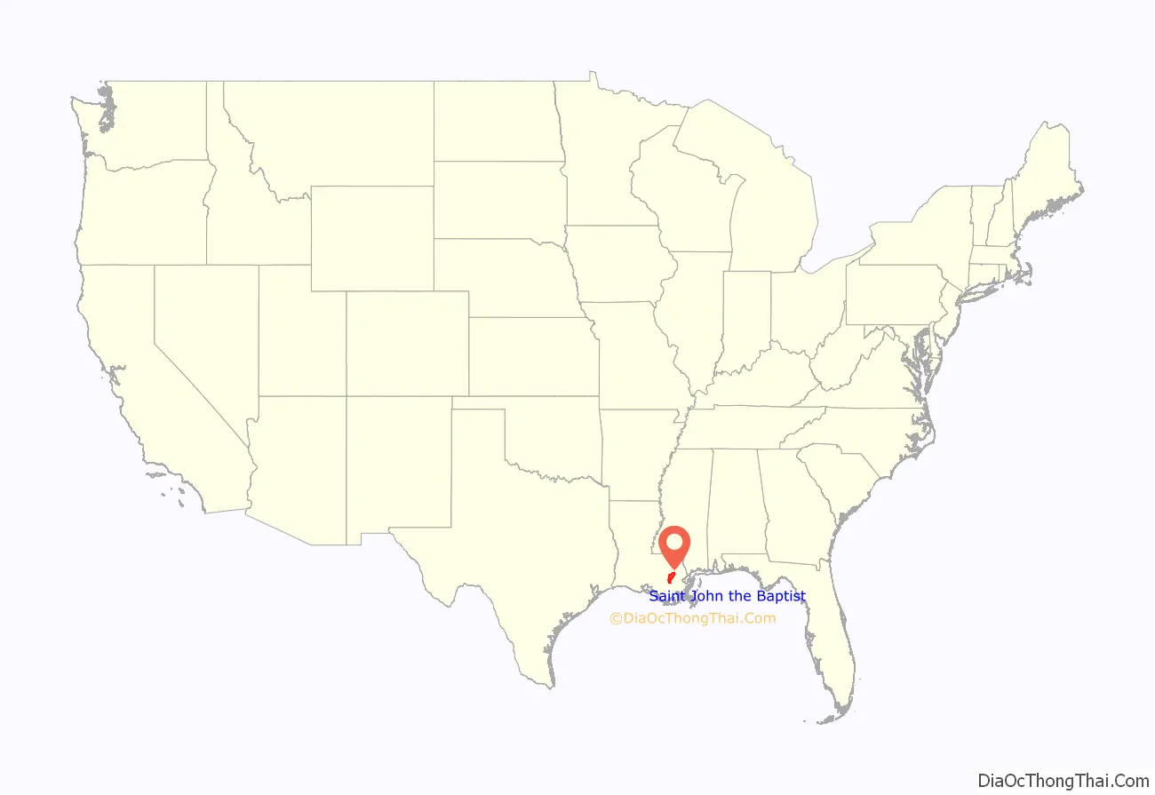
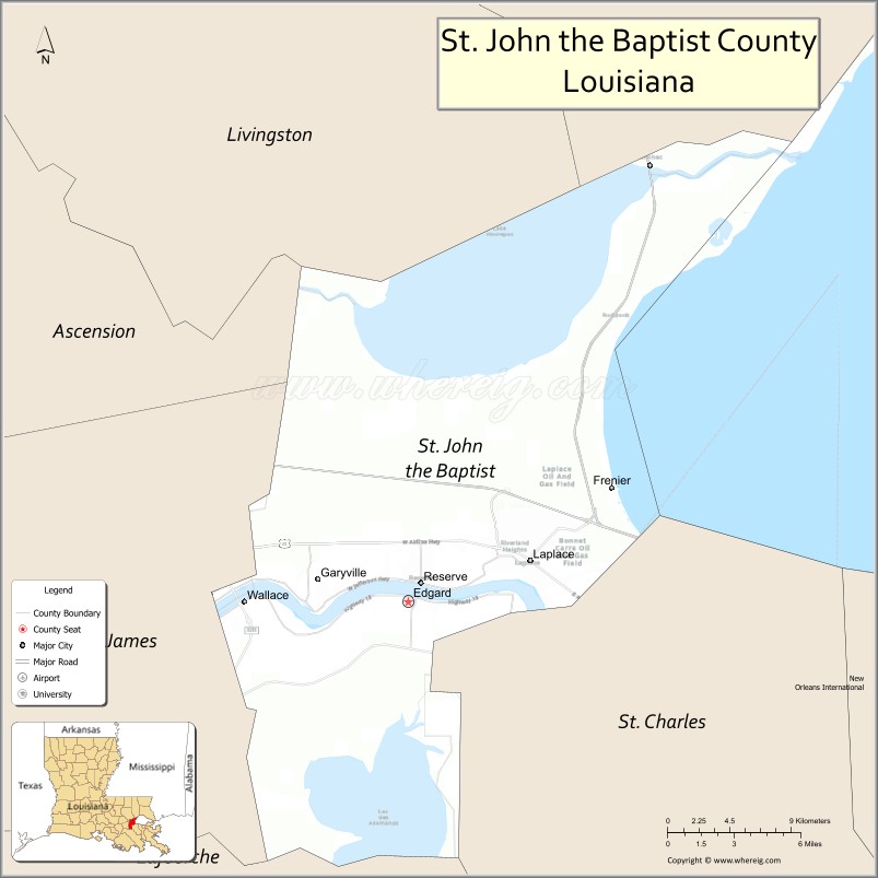
St. John the Baptist Parish location map. Where is St. John the Baptist Parish?
History
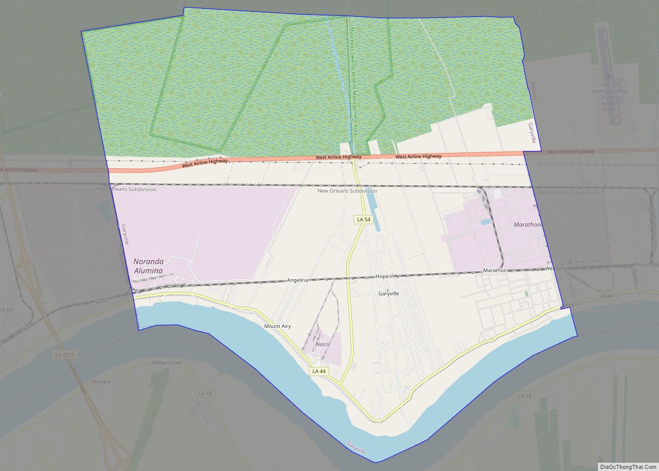
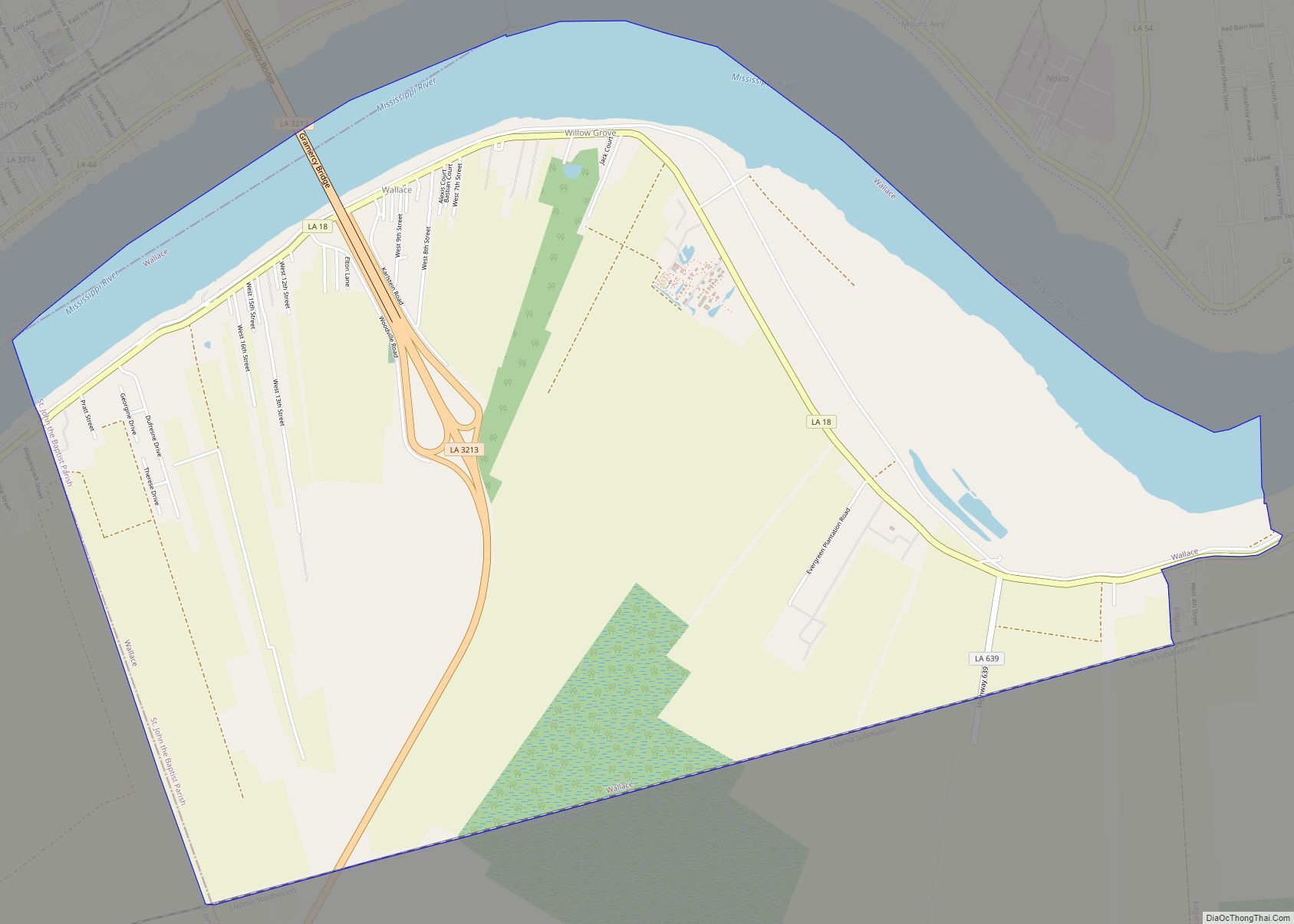
Present-day St. John the Baptist Parish includes the third permanent settlement in what is now the state of Louisiana, after Natchitoches (1714) and New Orleans (1718). It was considered part of the German Coast. The area was settled in the early 1720s by a group of German colonists. Many families established towns close to the Mississippi River in the areas now known as Lucy, Garyville, and Reserve. The area was under the French regime until 1763, when France ceded Louisiana to Spain after losing the Seven Years’ War to Great Britain (this was known as the French and Indian War on the North American front).
At the beginning of the Spanish colonial period, many Acadians, people of French descent, began arriving in south Louisiana due to being expelled by the British from what is now Nova Scotia. The British took over French territory in Canada and in North America east of the Mississippi river. The first Acadian village was established in what is now Wallace, Louisiana. The German and French cultures thrived alongside one another, but French came to be the dominant language. They developed a culture known as Cajun.
In 1769, Acadians who settled in the area began a search for land to build a church. The governing Spanish authority at the time approved the request, and the land was expropriated on February 21, 1770. The first church stood in the same location as the modern St. John the Baptist Church. The new church carried the same name as the original chapel along the German Coast settlement. The first pastor was Spanish Capuchin Father Bernardo de Limpach. The first church records indicate a marriage between Antoine Manz and Sibylla Bischof in 1772. The first church stood tall until it was swept away by floodwaters in 1821.
The early settlers in the area received land grants from the Spanish or French royal governments, depending upon which country owned the territory at the time of application. The French style of property allotments was made up of narrow frontage on the river so that each plantation had access for transportation of goods to and from New Orleans and world markets. The main house and supporting outbuildings were constructed near the river. The remaining property extended away from the river deeply into the wetlands, where land was cleared for cultivation of sugar cane.
Most transportation was done by boat, mainly on the bayous and lakes of the area, but via the Mississippi River as well, for decades into the 19th century. St. John, with its fertile land being nine feet above sea level, proved to be an excellent settlement for farming and agriculture. In the late 18th century, planters began to invest more in labor-intensive sugar cane cultivation and processing, increasing their demand for slave labor. Sugar production meant prosperity for the planters and New Orleans. Planters held large numbers of slaves, to the extent that the sugar and cotton parishes all had black majorities before the Civil War.
With the sugar wealth, some wealthy planters built elaborate houses and outbuildings. Three survive in St. John parish; each is recognized for its national architectural and historic significance. On the west bank are the major complex of house and outbuildings designated as the Whitney Plantation Historic District and the National Historic Landmark (NHL) of Evergreen Plantation. San Francisco Plantation House, also a designated NHL, is on the east bank. San Francisco and Evergreen plantations are open to the public for tours. The Whitney plantation house is planned for renovation. Whitney and Evergreen plantations are both included among the first 26 sites on the Louisiana African American Heritage Trail.
In January 1811, the German Coast Uprising started in this parish. It was the largest slave insurrection in US history, but it was short-lived. The slaves killed two whites, but suffered 96 deaths among their forces at the hands of the militia and in executions after quick trials afterward. They attacked five plantations and burned three houses to the ground. Charles Deslondes, a mulatto or mixed-race slave brought from Saint-Domingue before the success of its revolution, was one of the leaders of the insurrection. He and his followers were influenced by the ideals and promises of the French and Haitian revolutions. Slavery was ended on Saint-Domingue after the French Revolution, but reimposed before the slaves gained independence.
Deslondes gathered more than 200 slaves from plantations along the way, marching downriver into St. Charles Parish toward New Orleans before meeting much resistance. Unable to get the arms they had planned on, the slaves were defeated by the well-armed informal and territorial militias. During these confrontations and executions after brief trials, Deslondes and ninety-five slaves were killed. Decades before the American Civil War and emancipation, their actions expressed African Americans’ deep desire for freedom.
As the number of white families in the settlement increased, they wanted education for their children. Before the Civil War, typically planters would hire tutors, often college graduates from the North, who would live with the family for an extended period of time, typically two years. The tutor would teach all of the planter’s children, and sometimes the family would arrange for other neighborhood children to join the classes as well.
In 1869, following the Civil War, families wanting French instruction founded private schools to continue their culture. The Reconstruction legislature established the first public schools in the state during this period, but it took time for the state to arrange adequate funding for public education. The first high schools at Edgard and Reserve were not built until 1909. Students traveled to the schools by horse-drawn buses or by train.
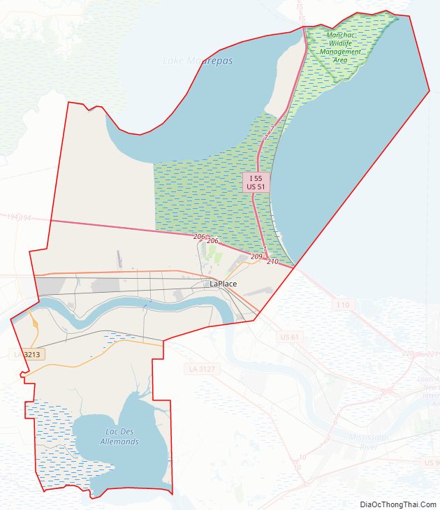
St. John the Baptist Parish Road Map
Geography
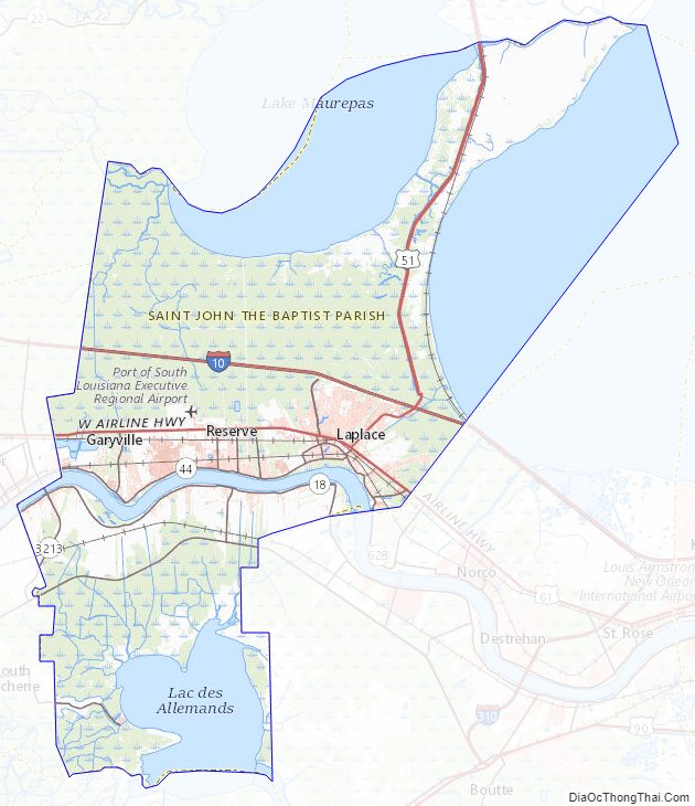
According to the U.S. Census Bureau, the parish has a total area of 348 square miles (900 km), of which 213 square miles (550 km) are land and 135 square miles (350 km) (39%) are water. It is the third-smallest parish in Louisiana by land area and fifth-smallest by total area.
St. John the Baptist Parish, Louisiana is located on the Mississippi River approximately 130 miles (210 km) upriver from the Gulf of Mexico and 30 miles (48 km) upriver from the City of New Orleans. The area, known as the River Region, has an abundance of natural resources and a mild “Sunbelt” climate. The average monthly temperature in New Orleans ranges from 55.1 °F (12.8 °C) in January to 83.7 °F (28.7 °C) in July, and rainfall averages 53.2 inches (135 cm) per year with monthly averages running from 2.52 inches (6.4 cm) in October to 7.17 inches (18.2 cm) in July. The New Orleans/River Region contains a good supply of raw materials, which has helped Louisiana maintain a high rank in the United States in the production of natural gas, petroleum, sulfur, salt, and fur pelts. High silica sands, lime, clays, timber, seafood, and various agricultural products are also produced in abundance.
St. John the Baptist Parish is bisected by the Mississippi River. Though the River separates the Parish into northern and southern parts, the former is still referred to as the “east bank” and the latter as the “west bank,” referring to the direction of the river as it reaches the Gulf of Mexico. The Mississippi provides an important transportation corridor which supports the heavy industry located in the area.
St. John the Baptist Parish is bordered by St. Charles Parish and Lake Pontchartrain to the east, Lake Pontchartrain and Lake Maurepas to the north, Lafourche Parish and Lac des Allemands to the south, and St. James Parish to the west. It is one of four parishes which comprise the “River Parishes;” St. John Parish is the heart of the “River Parishes.”
This section of the state, also consisting of St. James, Ascension, and St. Charles Parishes, makes up the area along the Mississippi River between New Orleans and Baton Rouge. Since the mid-20th century, when the oil industry developed from resources found here, all of these parishes are home to at least one major chemical- and/or petroleum-processing facility. The industry is the major source of employment in the region but it has had adverse environmental effects. St. John the Baptist parish has the highest rate of environmental cancer of any census tract in the United States.
Much of the parish is either open water or wetlands. The wetlands are currently protected by federal law and development is limited to what is permitted by the U.S. Army Corps of Engineers and/or the Federal Wildlife and Fisheries Department.
Higher ground in the parish is found in an alluvial plain which generally borders the Mississippi River on both sides. Soil deposits from the Mississippi’s annual flooding created a rich and fertile area which has historically been intensively farmed (sugar cane, soybeans, feed corn, and occasional cotton). This fact, and the natural transportation corridor supplied by the river, resulted in the creation of numerous plantations and farms along the lower Mississippi Valley.
Many of these plantations were large tracts of land with modest or average-sized homes and outbuildings found on the higher ground. Several, however, were improved with palatial mansions. Three of the larger homes have survived in St. John Parish, as noted in the History above.
The higher ground along the banks was used to grow crops, while the wetlands were valued for their abundant timber, hunting and fishing. For years development in the River Parishes was limited to those areas that were naturally higher and less prone to flooding. Until the existing levees and pump systems were built, however, few places were truly safe from high water. Even today, most of the parish is considered a flood hazard area according to FEMA Flood Maps.
Adjacent parishes
- Tangipahoa Parish (north)
- St. Charles Parish (southeast)
- Lafourche Parish (south)
- St. James Parish (west)
- Ascension Parish (northwest)
- Livingston Parish (northwest)
St. John the Baptist Parish Topographic Map
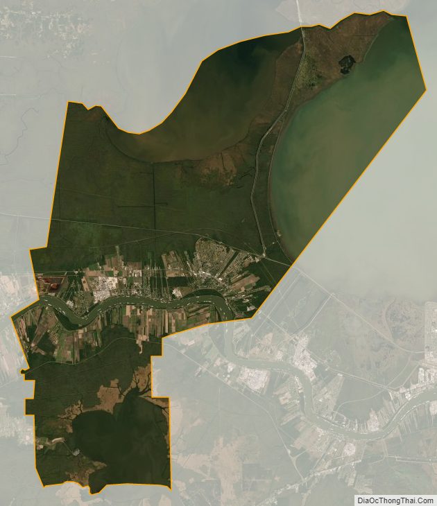
St. John the Baptist Parish Satellite Map
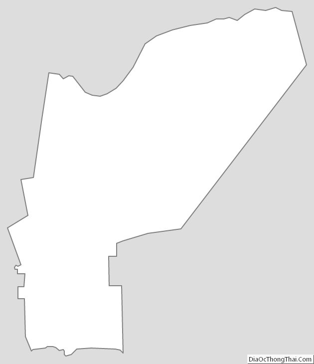
St. John the Baptist Parish Outline Map