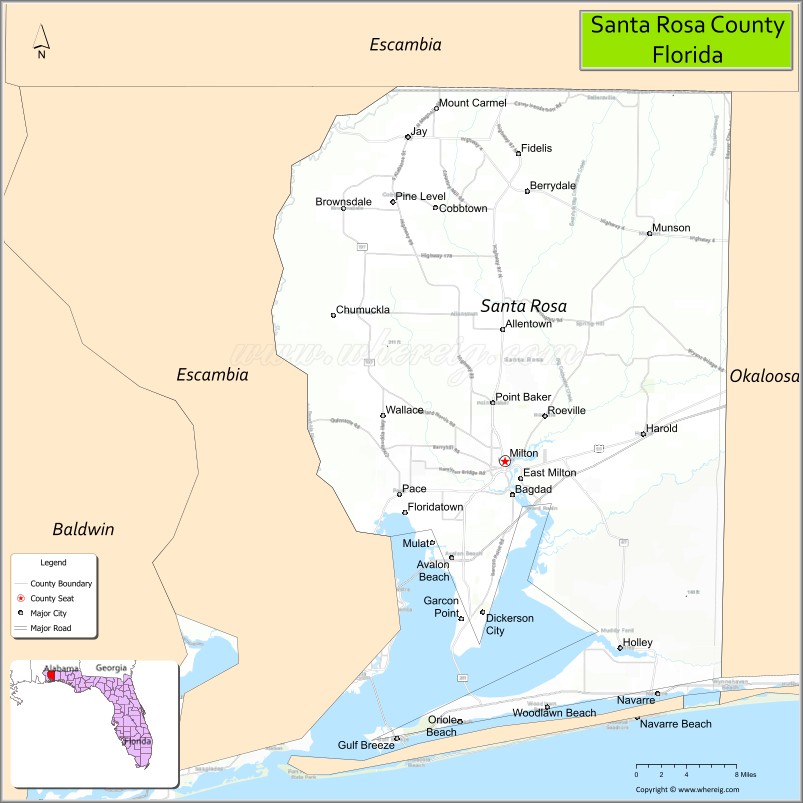
Santa Rosa County is a county located in the northwestern portion of the U.S. state of Florida. As of 2020, the population is 188,000. The county seat is Milton, which lies in the geographic center of the county. Other major communities within Santa Rosa County are Navarre, Pace, and Gulf Breeze. Navarre is the most populated community with a population of approximately 45,000 residents. Santa Rosa County is included in the Pensacola Metropolitan Statistical Area, which also includes Escambia County.
| Name: | Santa Rosa County |
|---|---|
| FIPS code: | 12-113 |
| State: | Florida |
| Founded: | February 18, 1842 |
| Named for: | Saint Rose of Viterbo |
| Seat: | Milton |
| Largest city: | Navarre |
| Total Area: | 1,174 sq mi (3,040 km²) |
| Land Area: | 1,012 sq mi (2,620 km²) |
| Total Population: | 188,000 |
| Population Density: | 186/sq mi (72/km²) |
| Time zone: | UTC−6 (Central) |
| Summer Time Zone (DST): | UTC−5 (CDT) |
| Website: | www.santarosa.fl.gov |
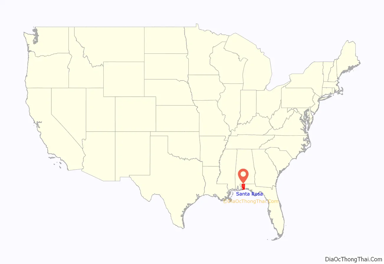
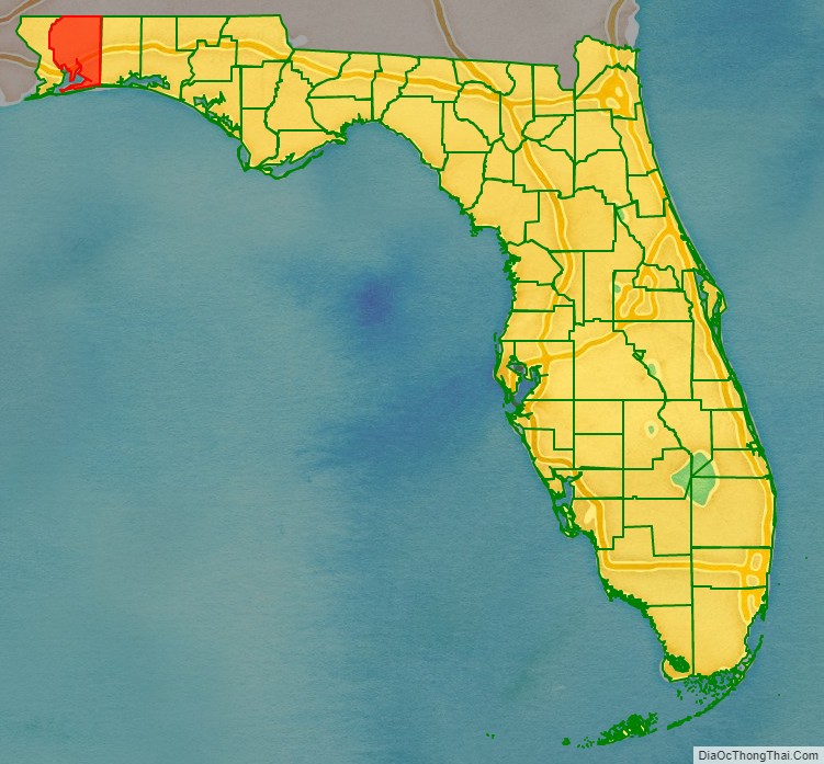
Santa Rosa County location map. Where is Santa Rosa County?
History
Santa Rosa County was created in 1842, when it was divided from Escambia County. It was named after the barrier island along its southern coast, which in turn had been named for the Roman Catholic saint, Rosa de Viterbo.
Santa Rosa County repealed its prohibition on alcohol in 2005.
Santa Rosa County has seen unprecedented growth in population, specifically in the communities of Navarre, Pace, and Gulf Breeze. The county is a quickly growing tourist destination because of its access to beaches and protected wilderness areas for kayaking, hiking, and camping.
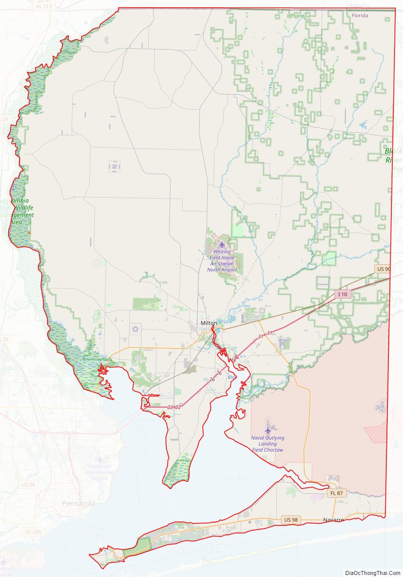
Santa Rosa County Road Map
Geography
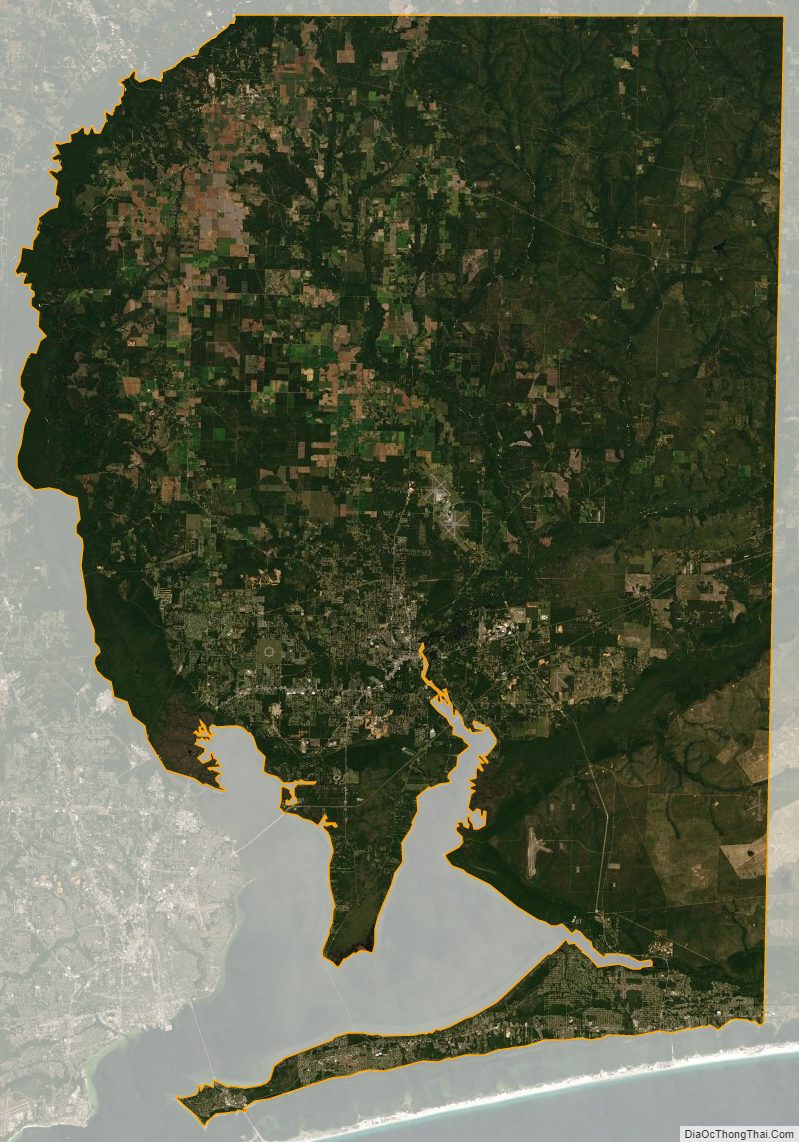
According to the U.S. Census Bureau, the county has a total area of 1,174 square miles (3,040 km), of which 1,012 square miles (2,620 km) is land and 162 square miles (420 km) (13.8%) is water.
National protected area
- Choctawhatchee National Forest (part)
Regions
Santa Rosa County can be divided into three distinct sections: South Santa Rosa, Central Santa Rosa, and North Santa Rosa. The sections are centered on the main east–west roads that pass through the county.
South Santa Rosa County comprises the area from Holley and Navarre in the east to Gulf Breeze at the western end of the Fairpoint Peninsula, and along U.S. Highway 98. A section of Santa Rosa Island, containing the unincorporated community of Navarre Beach, is also part of South Santa Rosa County. Major bodies of water including Santa Rosa Sound, Pensacola Bay and East Bay strongly influence the housing and life style of citizens in the southern part of the county. This fast-growing region serves primarily as “bedroom communities” for Pensacola to the west and Hurlburt Field, Fort Walton Beach, and Eglin Air Force Base to the east.
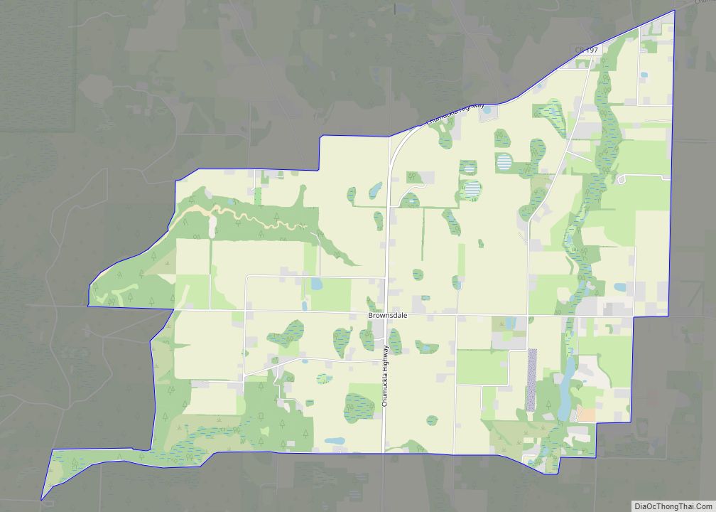
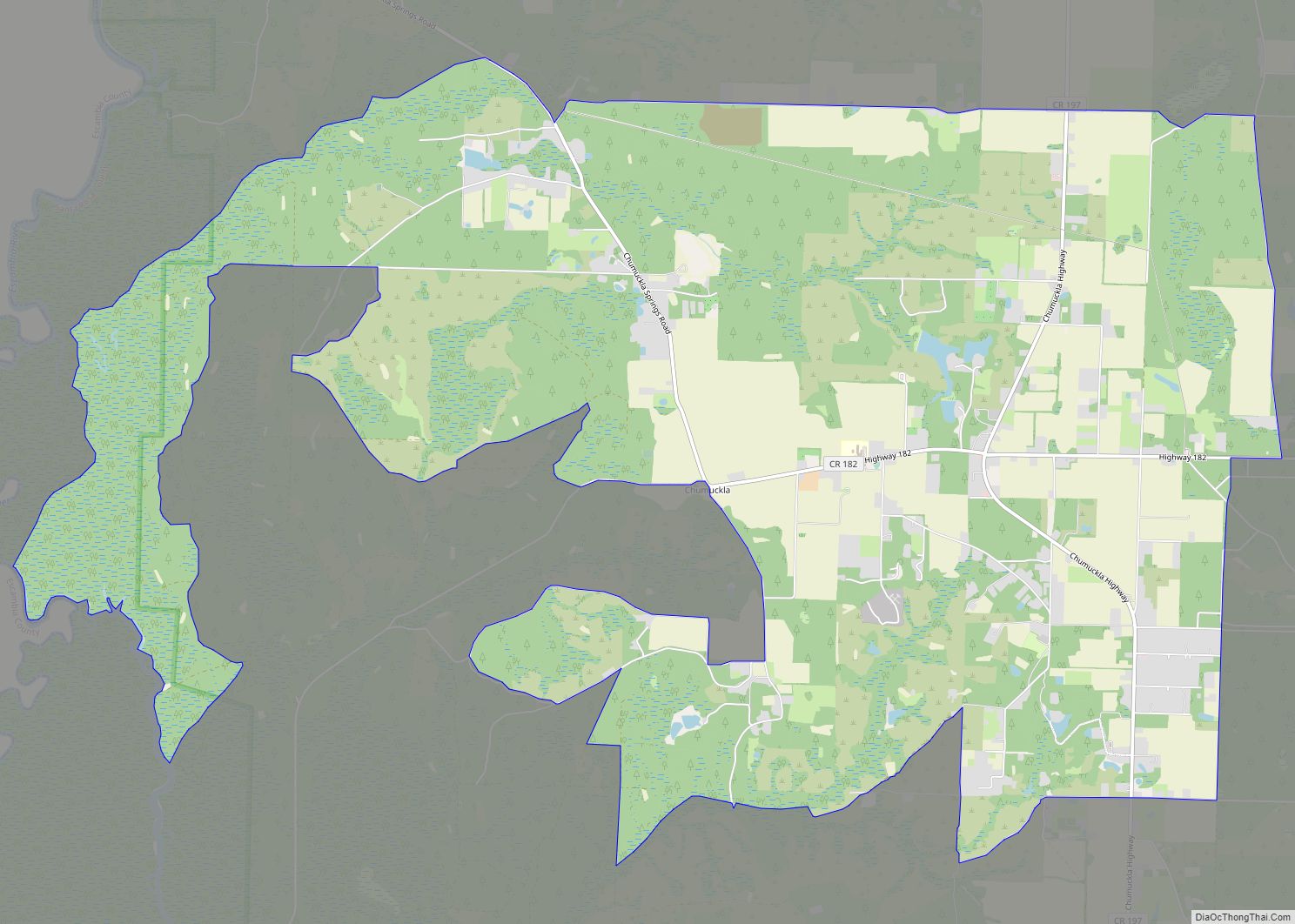
Central Santa Rosa County is the area north of the bays and south of the extensive forests separating it from North Santa Rosa. The central section developed along the so-called Old Spanish Trail that ran from St. Augustine to New Orleans, and further points west. Today, U.S. Highway 90 closely parallels the old trail, and is the main highway that connects the region. Despite recent growth, the Central Region is best identified by its rural roots, and can be best characterized by traditional Southern culture. The Pace and Milton communities compose the Central Region, with both having populations roughly around 30,000. The county seat, Milton is located where the trail crossed the Blackwater River. To the west of Milton bordering the Escambia River, Pace has experienced exponential growth both residential and commercial. Interstate 10 also passes through this section of the county. The U.S. Navy presence is marked by Whiting Field and NOLF Spencer Field.
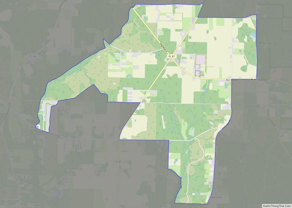
Northern Santa Rosa County is forest and farming country. The only town in the north is Jay. Most development has been along State Road 4 which runs through the northern sections of Escambia, Santa Rosa, and Okaloosa counties. A large oil and natural gas field around Jay produced a great deal of oil, and made many farmers millionaires in the 1970s and 1980s, but the field has been depleted and is producing little oil today. The citizens have, for the most part, returned to farming and forestry for their livelihoods.
State Road 87 traverses the county from north to south, between U.S. Highway 98 and the border with Escambia County, Alabama near Brewton, where it connects with State Route 41. This road is a primary emergency evacuation route for the county during hurricanes.
Adjacent counties
- Escambia County, Alabama – north
- Okaloosa County, Florida – east
- Escambia County, Florida – west
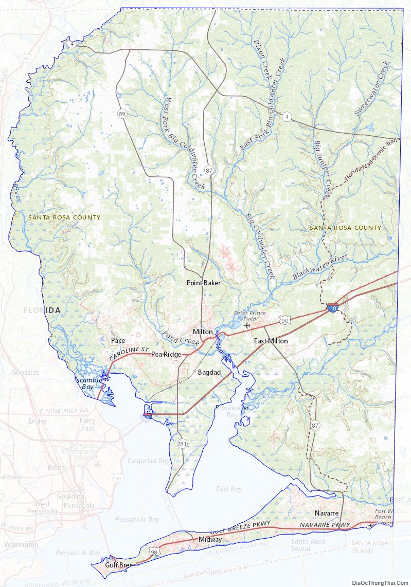
Santa Rosa County Topographic Map
Santa Rosa County Satellite Map
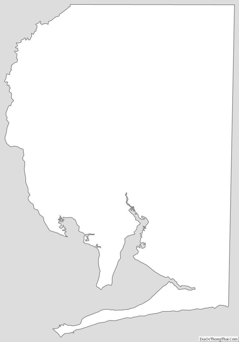
Santa Rosa County Outline Map