Milton is a city in and the county seat of Santa Rosa County, Florida. It is located within the Pensacola Metropolitan Statistical Area. Milton is located in the geographic center of Santa Rosa County, it is bordered by Pace to the west, and Navarre to the South. As of April 1, 2020, the population of the city of Milton was 10,197.
The town was incorporated in 1844 and is home to Naval Air Station Whiting Field.
| Name: | Milton city |
|---|---|
| LSAD Code: | 25 |
| LSAD Description: | city (suffix) |
| State: | Florida |
| County: | Santa Rosa County |
| Elevation: | 33 ft (10 m) |
| Total Area: | 5.86 sq mi (15.17 km²) |
| Land Area: | 5.63 sq mi (14.58 km²) |
| Water Area: | 0.23 sq mi (0.59 km²) |
| Total Population: | 10,197 |
| Population Density: | 1,811.19/sq mi (699.27/km²) |
| ZIP code: | 32570, 32571, 32572, 32583 |
| Area code: | 850 |
| FIPS code: | 1245750 |
| GNISfeature ID: | 0286947 |
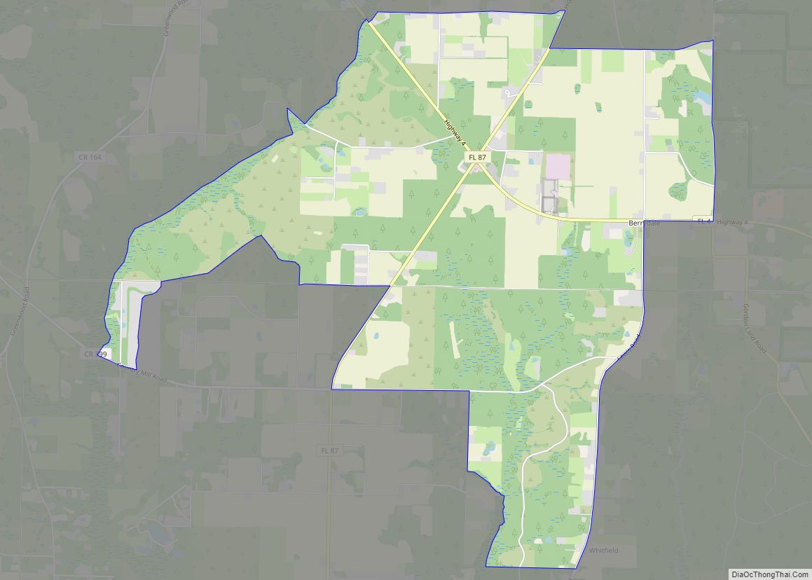
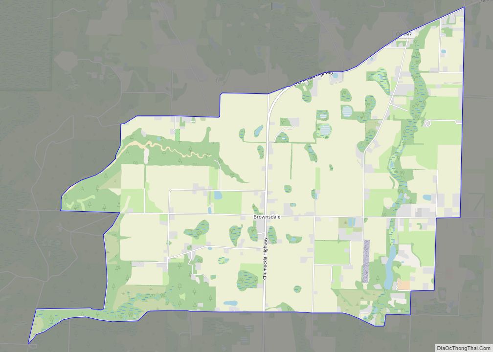
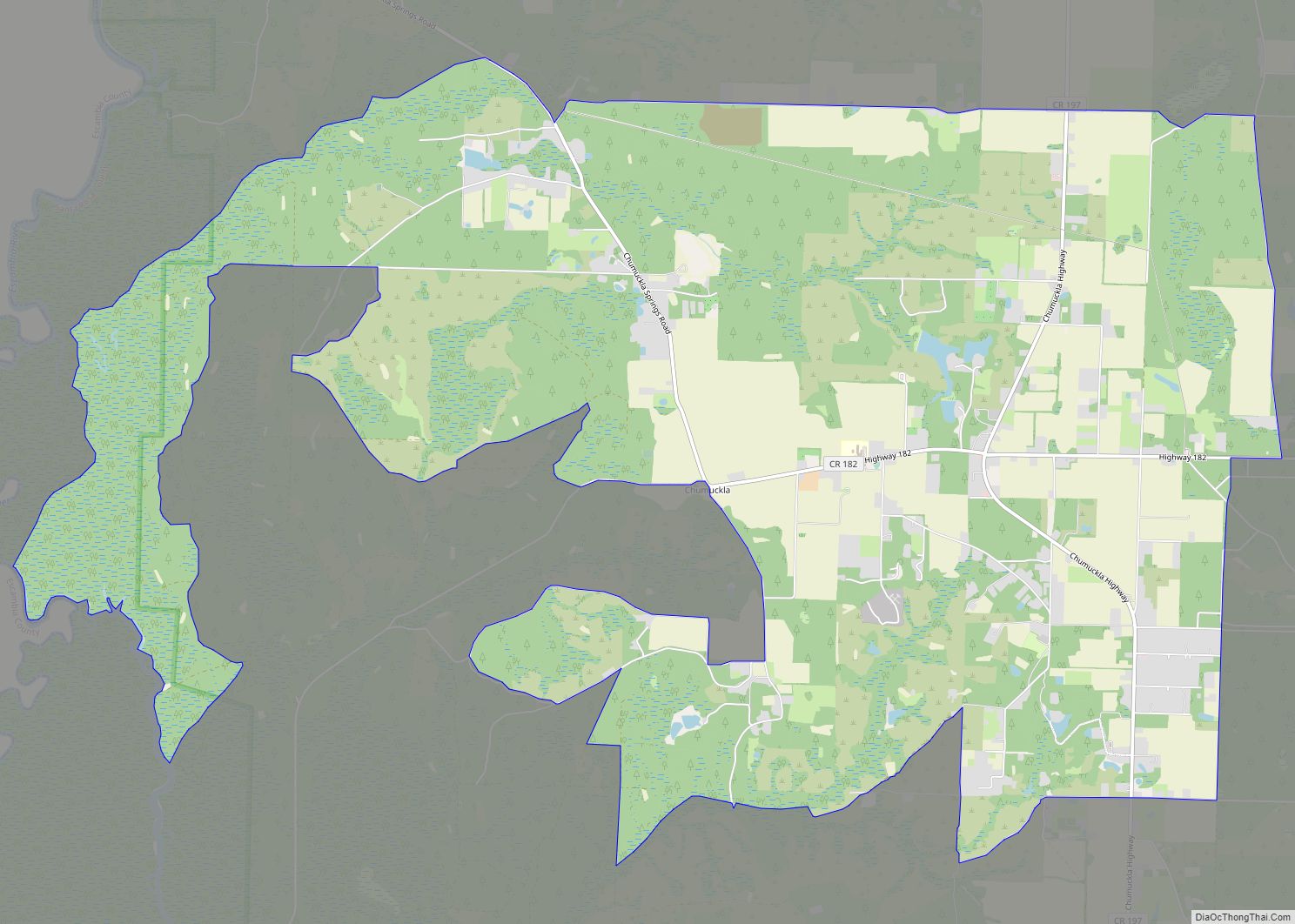
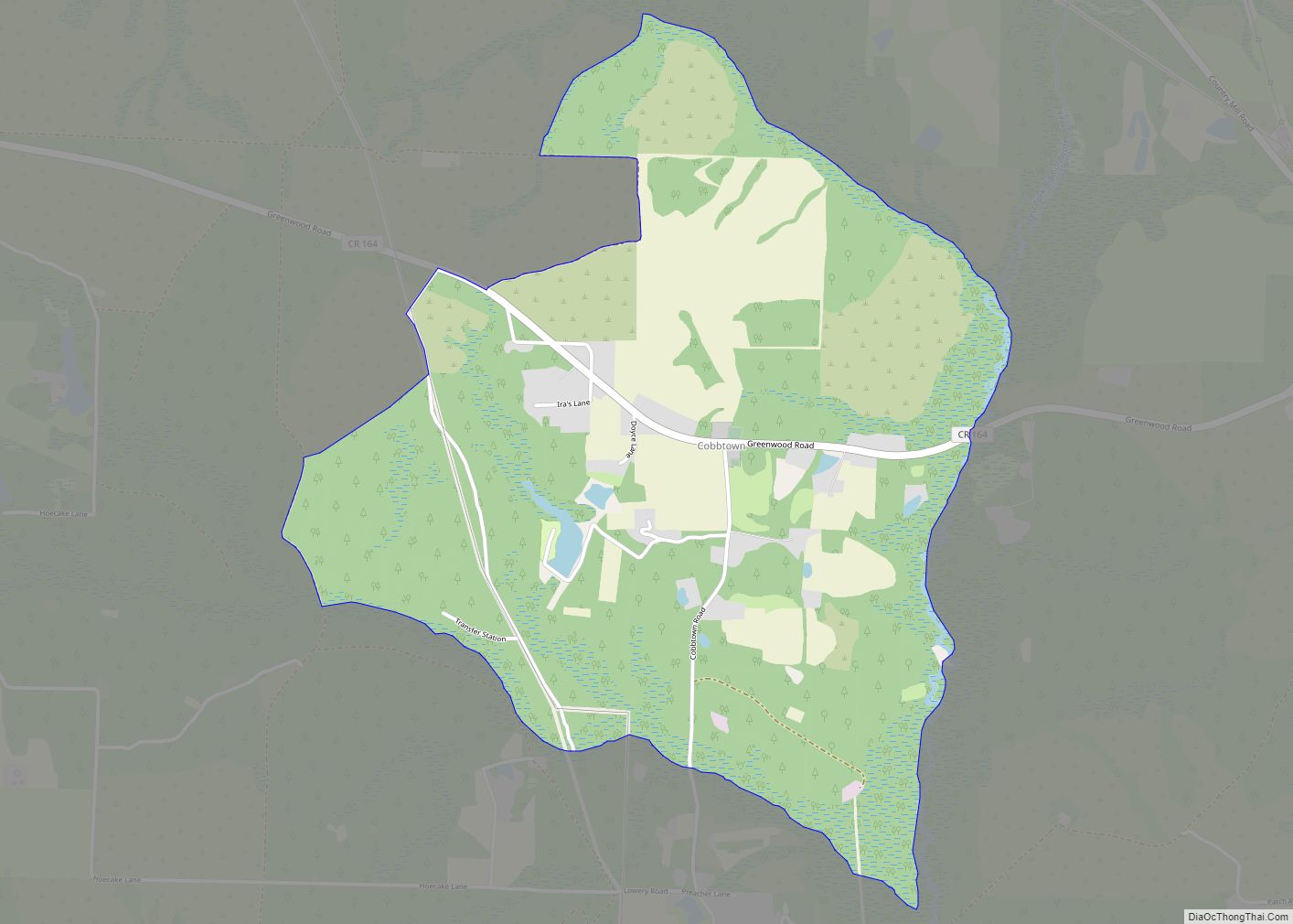
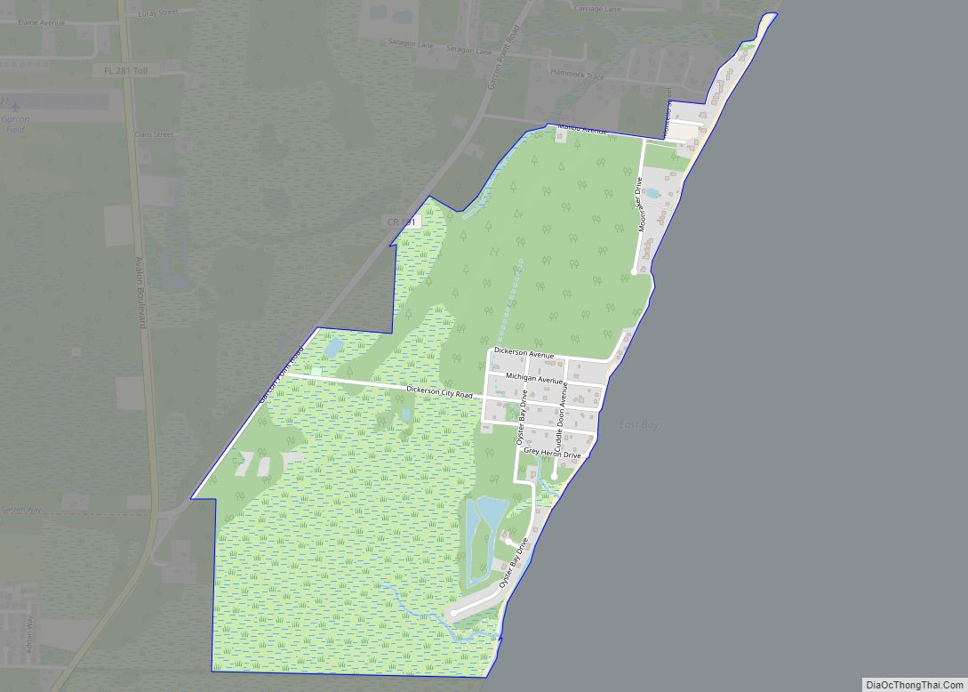
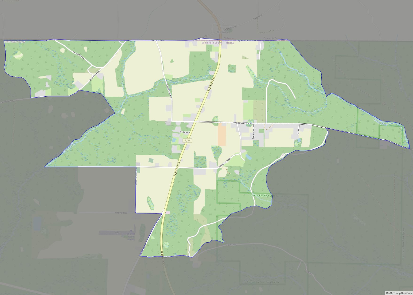
Online Interactive Map
Click on ![]() to view map in "full screen" mode.
to view map in "full screen" mode.
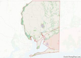
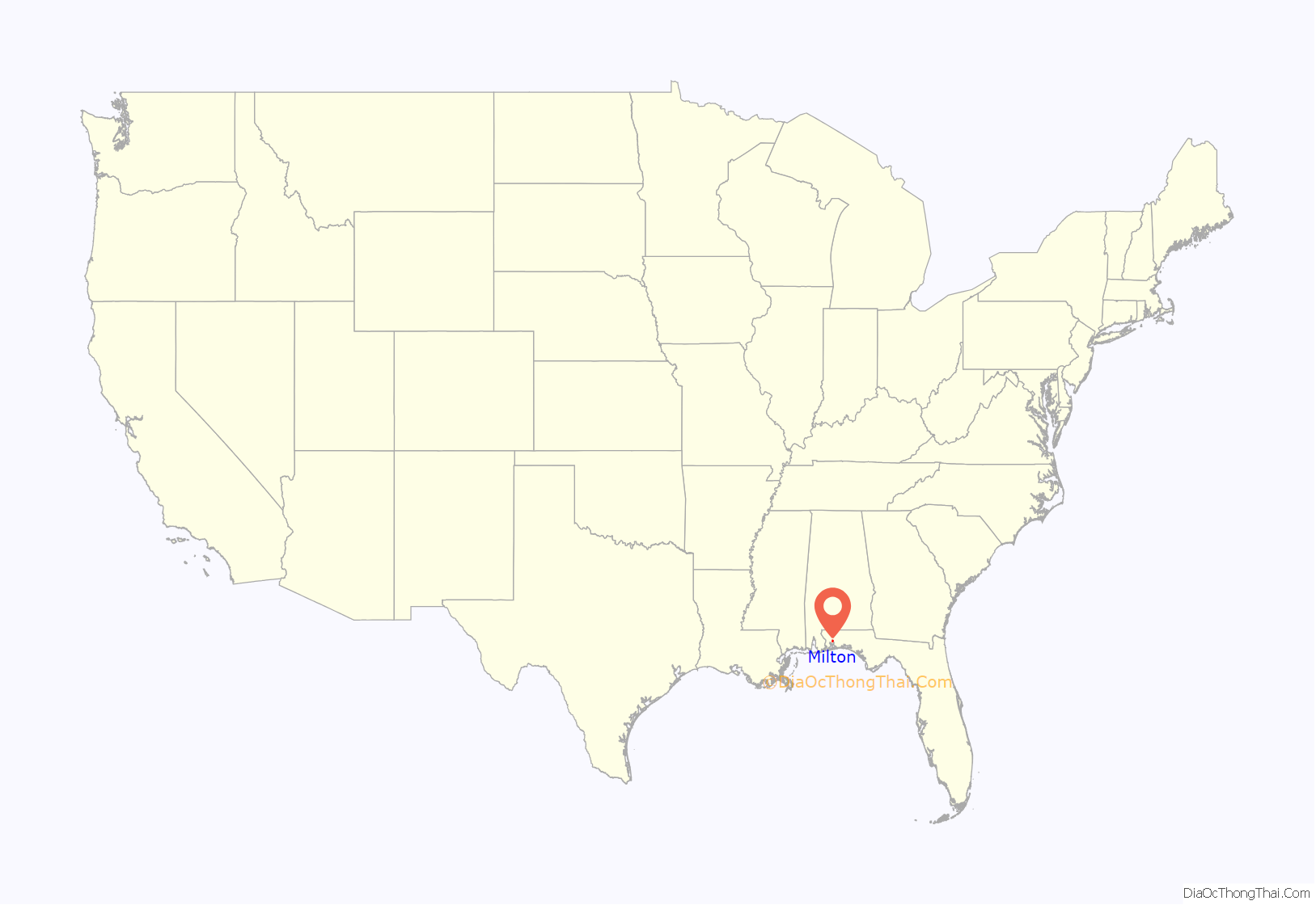
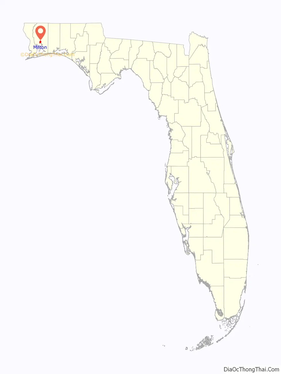
Milton location map. Where is Milton city?
History
Milton was settled in the early 1800s as a small village centered on the lumber industry. The settlement originally was known as Scratch Ankle because of the briars and bramble that grew in the area. Another name was Jernigan’s Landing after Benjamin Jernigan (died April 1847), who built a water-powered saw mill at what is now Locklin Lake between 1828 and 1830. Other names were Lumberton, Black Water, and Hard Scrabble, but by 1839, it was being referred to as Milltown. Milton was incorporated as a town in 1844, one year before the Territory of Florida joined the United States as the 27th state.
During the Civil War, much of Milton was burned by Confederate forces retreating from the Union capture of Pensacola in May 2-4 of 1862. The Confederates intended to prevent the town’s industries from falling into Union hands. After the Southern forces evacuated the Union troops had a small garrison in nearby Bagdad where they had a base for expeditions in the surrounding area. Many Milton residents fled to Alabama.
Naval Air Station Whiting Field was constructed during World War II with the help of many German prisoners of war who were housed in a camp on the site. The station was commissioned on July 16, 1943, by Rear Admiral George D. Murray and the widow of Captain Kenneth Whiting, after whom the station was named.
On March 31, 1962, an F3 tornado hit the northwest side of Milton, causing 17 deaths and 100 injuries. It was Florida’s deadliest tornado until February 22, 1998 when 25 people were killed in Kissimmee by another F3 tornado. It was also the deadliest tornado in 1962.
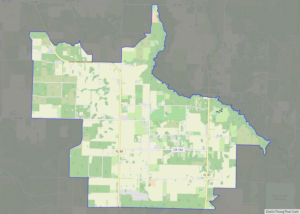
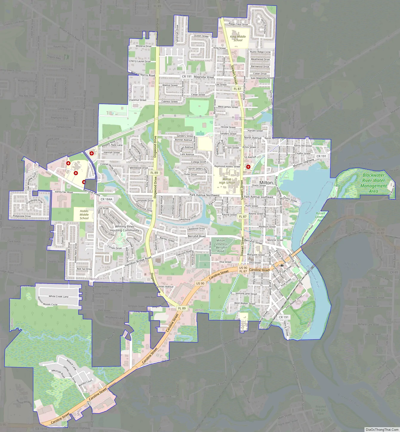
Milton Road Map
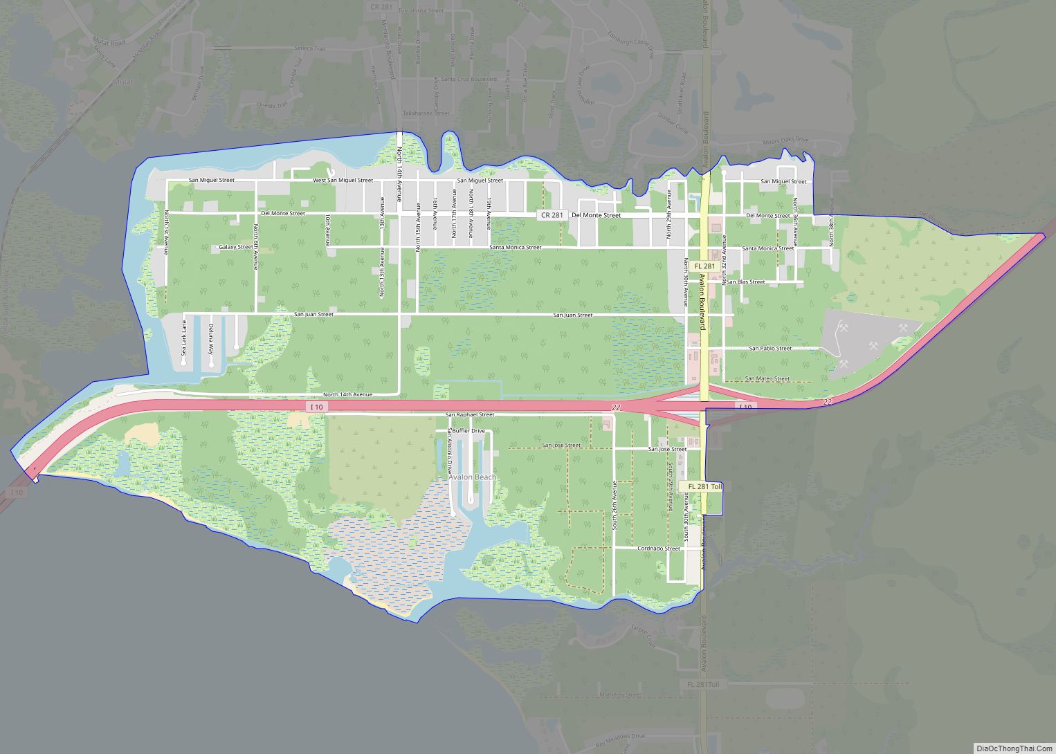
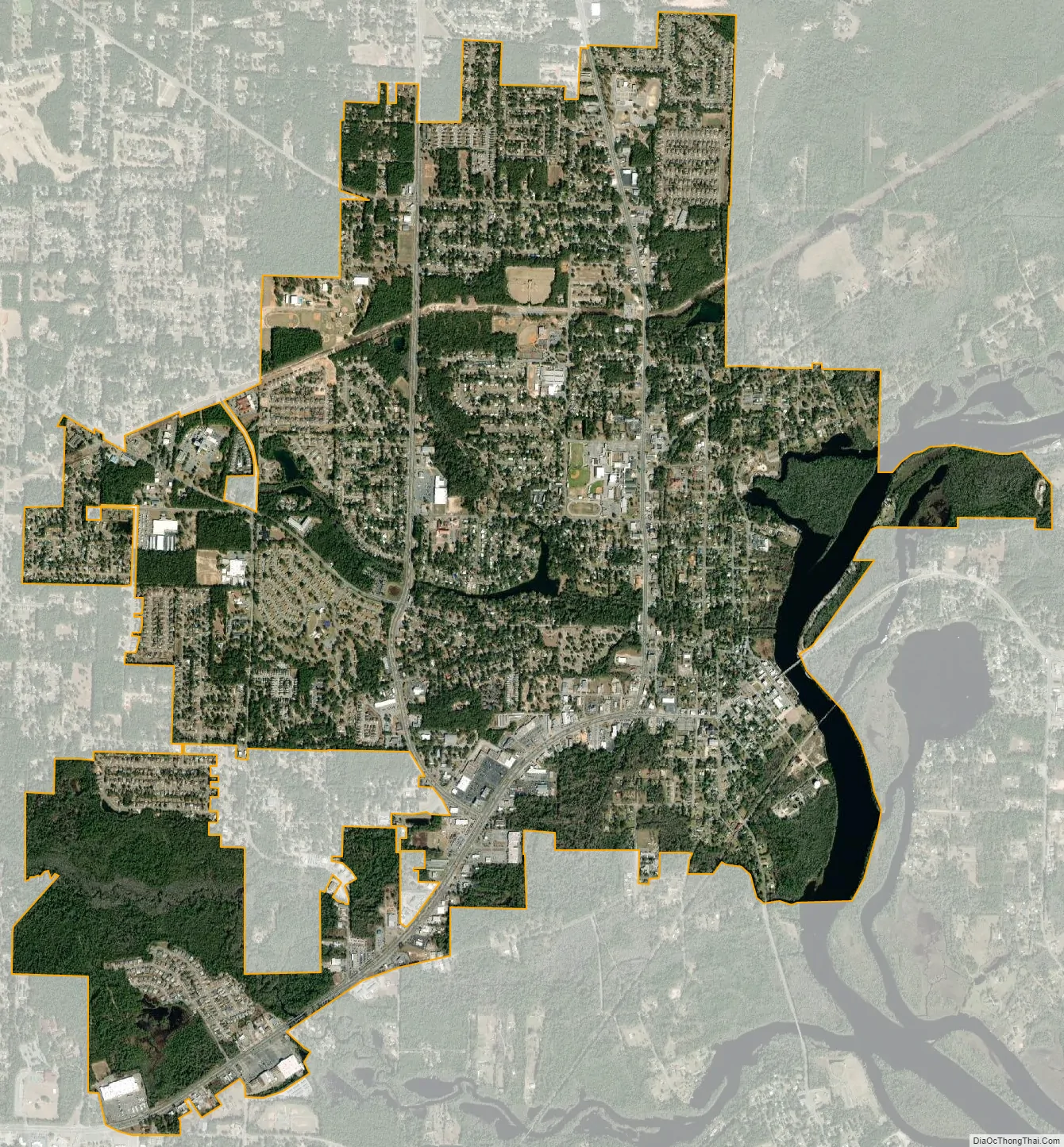
Milton city Satellite Map
Geography
Milton is located at 30°37′49″N 87°02′47″W / 30.630312°N 87.046486°W / 30.630312; -87.046486.
According to the United States Census Bureau, the town has a total area of 4.6 square miles (12 km), of which 4.4 square miles (11 km) is land and 0.2 square miles (0.52 km) (4.59%) is water.
Climate
See also
Map of Florida State and its subdivision:- Alachua
- Baker
- Bay
- Bradford
- Brevard
- Broward
- Calhoun
- Charlotte
- Citrus
- Clay
- Collier
- Columbia
- Desoto
- Dixie
- Duval
- Escambia
- Flagler
- Franklin
- Gadsden
- Gilchrist
- Glades
- Gulf
- Hamilton
- Hardee
- Hendry
- Hernando
- Highlands
- Hillsborough
- Holmes
- Indian River
- Jackson
- Jefferson
- Lafayette
- Lake
- Lee
- Leon
- Levy
- Liberty
- Madison
- Manatee
- Marion
- Martin
- Miami-Dade
- Monroe
- Nassau
- Okaloosa
- Okeechobee
- Orange
- Osceola
- Palm Beach
- Pasco
- Pinellas
- Polk
- Putnam
- Saint Johns
- Saint Lucie
- Santa Rosa
- Sarasota
- Seminole
- Sumter
- Suwannee
- Taylor
- Union
- Volusia
- Wakulla
- Walton
- Washington
- Alabama
- Alaska
- Arizona
- Arkansas
- California
- Colorado
- Connecticut
- Delaware
- District of Columbia
- Florida
- Georgia
- Hawaii
- Idaho
- Illinois
- Indiana
- Iowa
- Kansas
- Kentucky
- Louisiana
- Maine
- Maryland
- Massachusetts
- Michigan
- Minnesota
- Mississippi
- Missouri
- Montana
- Nebraska
- Nevada
- New Hampshire
- New Jersey
- New Mexico
- New York
- North Carolina
- North Dakota
- Ohio
- Oklahoma
- Oregon
- Pennsylvania
- Rhode Island
- South Carolina
- South Dakota
- Tennessee
- Texas
- Utah
- Vermont
- Virginia
- Washington
- West Virginia
- Wisconsin
- Wyoming