Jay is a town in Santa Rosa County, Florida, United States. The population was 533 at the 2010 census. As of 2018, the population estimated by the U.S. Census Bureau was 620. It is part of the Pensacola–Ferry Pass–Brent Metropolitan Statistical Area.
| Name: | Jay town |
|---|---|
| LSAD Code: | 43 |
| LSAD Description: | town (suffix) |
| State: | Florida |
| County: | Santa Rosa County |
| Elevation: | 256 ft (78 m) |
| Total Area: | 1.66 sq mi (4.30 km²) |
| Land Area: | 1.66 sq mi (4.30 km²) |
| Water Area: | 0.00 sq mi (0.00 km²) |
| Total Population: | 524 |
| Population Density: | 315.66/sq mi (121.87/km²) |
| ZIP code: | 32565 |
| Area code: | 850 |
| FIPS code: | 1235425 |
| GNISfeature ID: | 0284731 |
| Website: | www.townofjayfl.com |
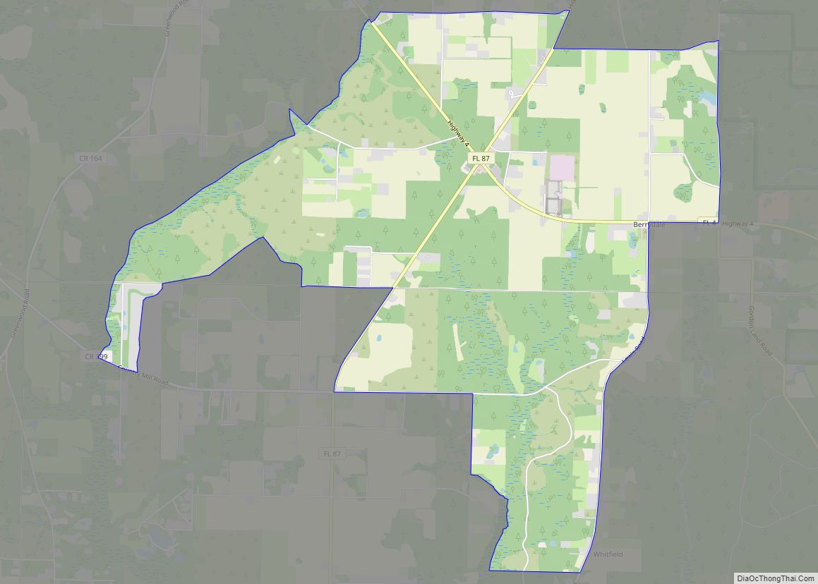
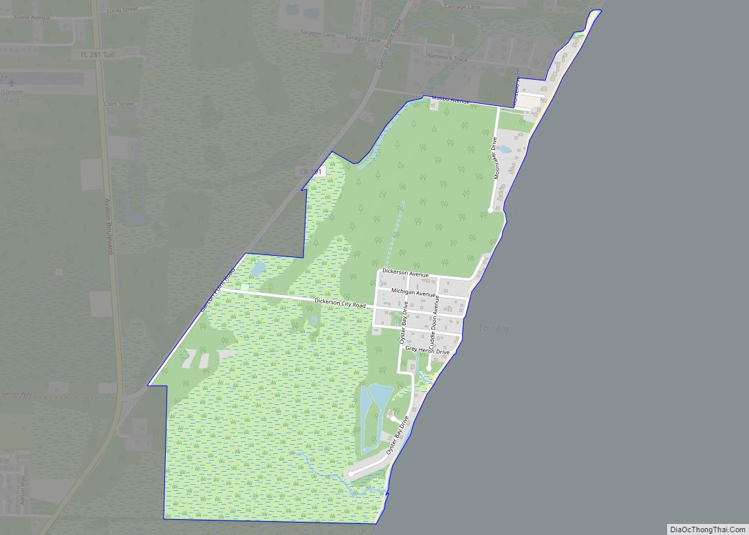
Online Interactive Map
Click on ![]() to view map in "full screen" mode.
to view map in "full screen" mode.
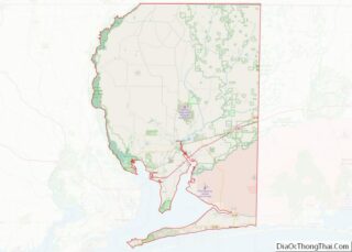
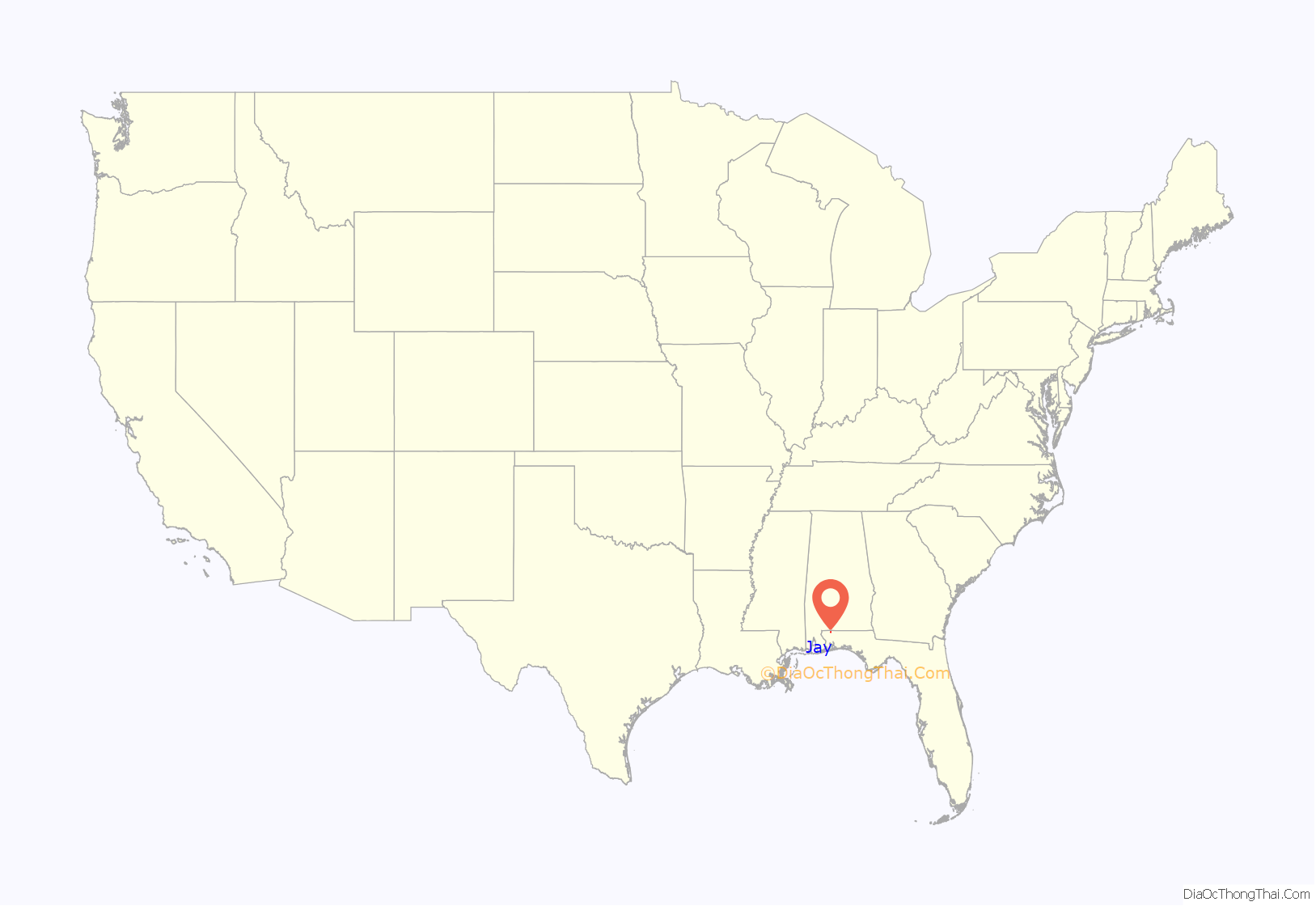
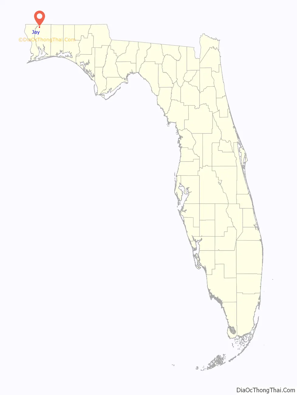
Jay location map. Where is Jay town?
History
In 1902, a committee was formed to select a name for the thriving farming community. James Thomas Nowling submitted the name “Pine Level” but it was declined due to a Florida post office already using it. Mr. Nowling was asked to submit a second name and was turned down again due to the name being too long. He was asked to submit yet another name but the Postal Department named the new post office after Mr. Nowling before he was able to submit another name and Mr. Nowling became the first postmaster of Jay.
In 1922, at least 175 Black residents from the Jay left in a mass exodus after a fight between a black and white farmer, leaving a legacy of Jay as a sundown town. In a 1974 Tampa Bay Times article, the then-mayor of Jay, J.D. Bray said: “The sun doesn’t set on a colored man in Jay, … Come 4 o’clock, they’re gone. They were run out of here back in the days of the turpentine still. And they know better than to come in here.”. According to the 2020 census, the town has only four Black residents.
Jay was incorporated as a town in 1951.
A small group of farmers began a livestock market in 1940 and reached sales of up to $1 million within 10 years. Oil was discovered here in 1970. The Jay oilfield has approximately 67 oilwells – eleven within the town limits. Royalties from the oil have exceeded $400 million that funded a new city hall, fire department and recreation complex.
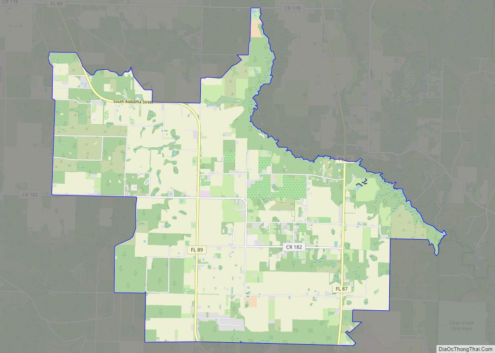
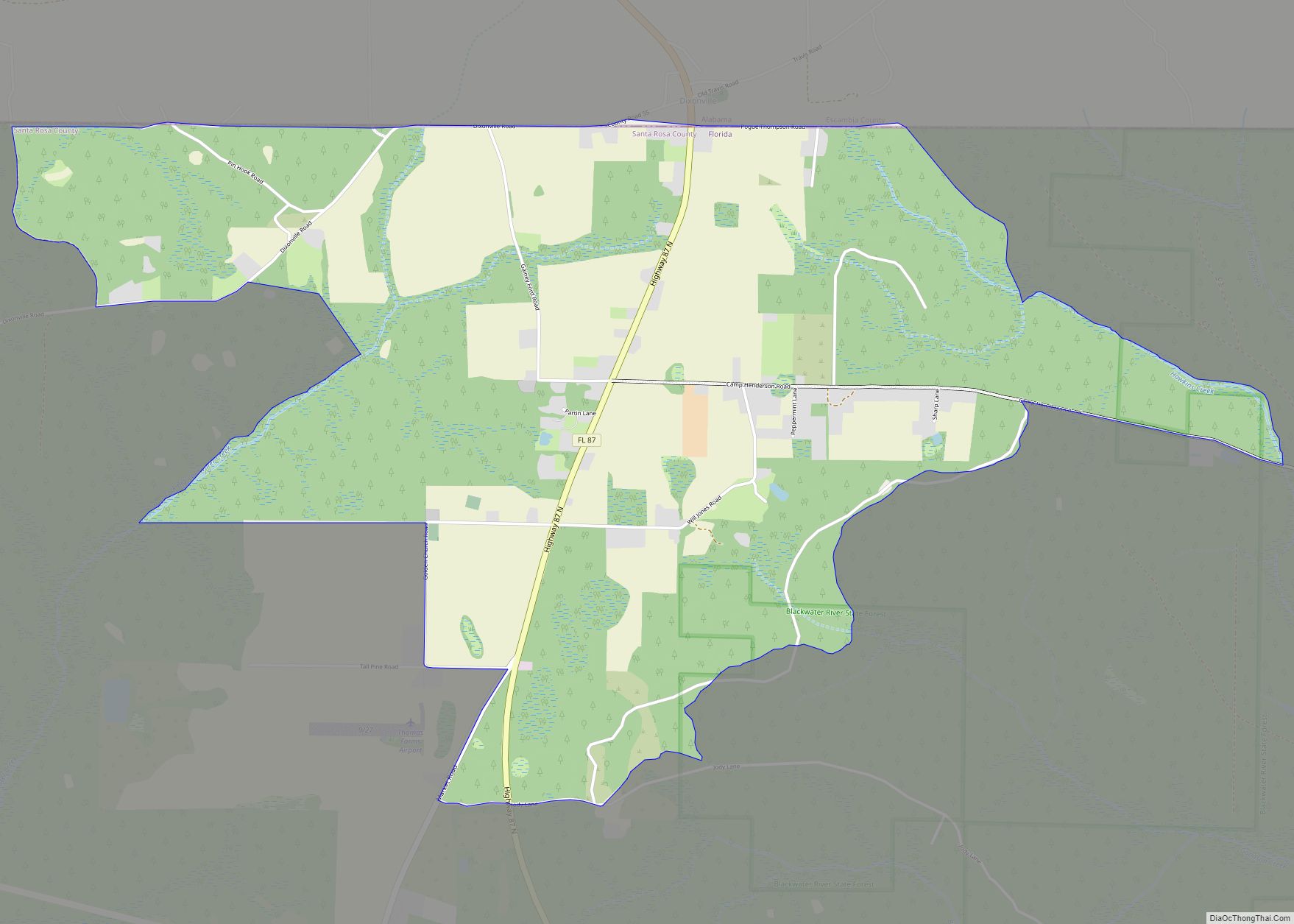
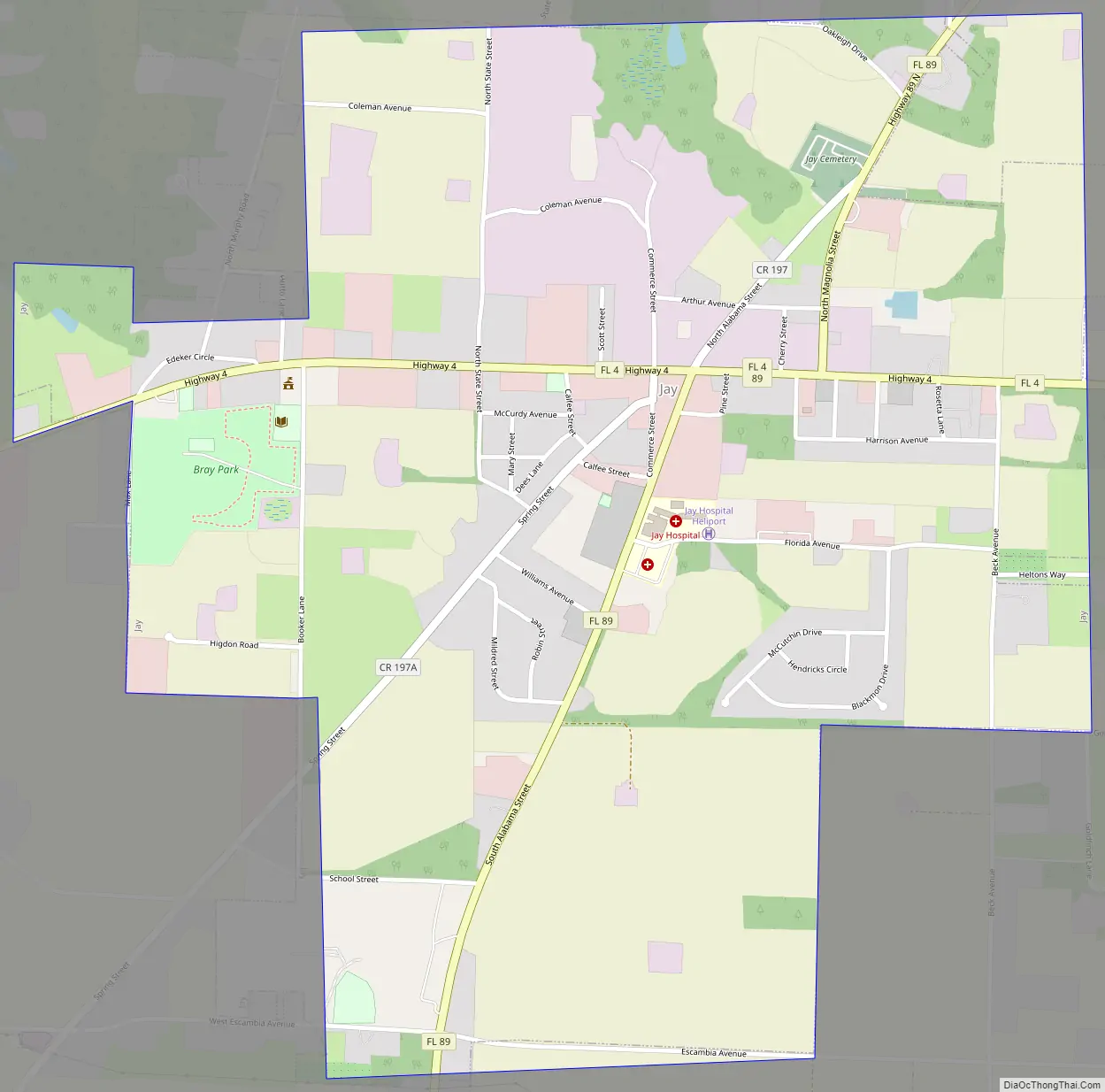
Jay Road Map
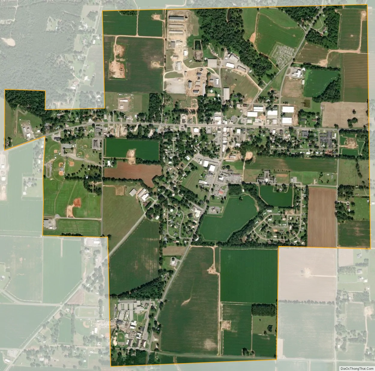
Jay city Satellite Map
Geography
According to the United States Census Bureau, the town has a total area of 1.6 square miles (4.1 km), all land. The town lies on high ground on the east bank of the Escambia River. There are two river access points/boat ramps, both outside the city limits.
See also
Map of Florida State and its subdivision:- Alachua
- Baker
- Bay
- Bradford
- Brevard
- Broward
- Calhoun
- Charlotte
- Citrus
- Clay
- Collier
- Columbia
- Desoto
- Dixie
- Duval
- Escambia
- Flagler
- Franklin
- Gadsden
- Gilchrist
- Glades
- Gulf
- Hamilton
- Hardee
- Hendry
- Hernando
- Highlands
- Hillsborough
- Holmes
- Indian River
- Jackson
- Jefferson
- Lafayette
- Lake
- Lee
- Leon
- Levy
- Liberty
- Madison
- Manatee
- Marion
- Martin
- Miami-Dade
- Monroe
- Nassau
- Okaloosa
- Okeechobee
- Orange
- Osceola
- Palm Beach
- Pasco
- Pinellas
- Polk
- Putnam
- Saint Johns
- Saint Lucie
- Santa Rosa
- Sarasota
- Seminole
- Sumter
- Suwannee
- Taylor
- Union
- Volusia
- Wakulla
- Walton
- Washington
- Alabama
- Alaska
- Arizona
- Arkansas
- California
- Colorado
- Connecticut
- Delaware
- District of Columbia
- Florida
- Georgia
- Hawaii
- Idaho
- Illinois
- Indiana
- Iowa
- Kansas
- Kentucky
- Louisiana
- Maine
- Maryland
- Massachusetts
- Michigan
- Minnesota
- Mississippi
- Missouri
- Montana
- Nebraska
- Nevada
- New Hampshire
- New Jersey
- New Mexico
- New York
- North Carolina
- North Dakota
- Ohio
- Oklahoma
- Oregon
- Pennsylvania
- Rhode Island
- South Carolina
- South Dakota
- Tennessee
- Texas
- Utah
- Vermont
- Virginia
- Washington
- West Virginia
- Wisconsin
- Wyoming