Pace is an unincorporated community in Santa Rosa County, Florida. It is the second largest community in Santa Rosa County, and is a part of the Pensacola Metropolitan Statistical Area. Pace has experienced exponential growth, and has evolved from a small, rural community to a thriving bedroom community of Pensacola with growing residential and commercial options. As of the 2020 United States census, the population was 24,684. From 2000 to 2010, the Pace CDP population growth percentage was 171.1%, and from 2010 to 2020, the population growth percentage was 22.8%.
| Name: | Pace CDP |
|---|---|
| LSAD Code: | 57 |
| LSAD Description: | CDP (suffix) |
| State: | Florida |
| County: | Santa Rosa County |
| Elevation: | 66 ft (20 m) |
| Total Area: | 24.52 sq mi (63.50 km²) |
| Land Area: | 24.23 sq mi (62.75 km²) |
| Water Area: | 0.29 sq mi (0.75 km²) |
| Total Population: | 24,684 |
| Population Density: | 1,018.78/sq mi (393.36/km²) |
| ZIP code: | 32571 |
| Area code: | 850 |
| FIPS code: | 1253725 |
| GNISfeature ID: | 0288352 |
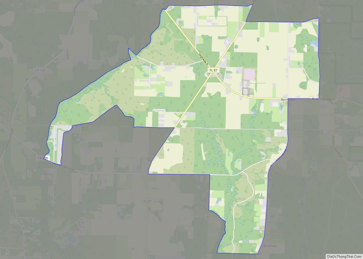
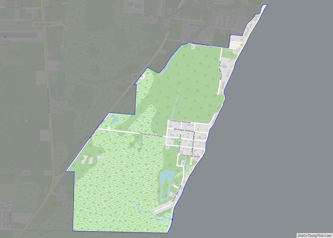
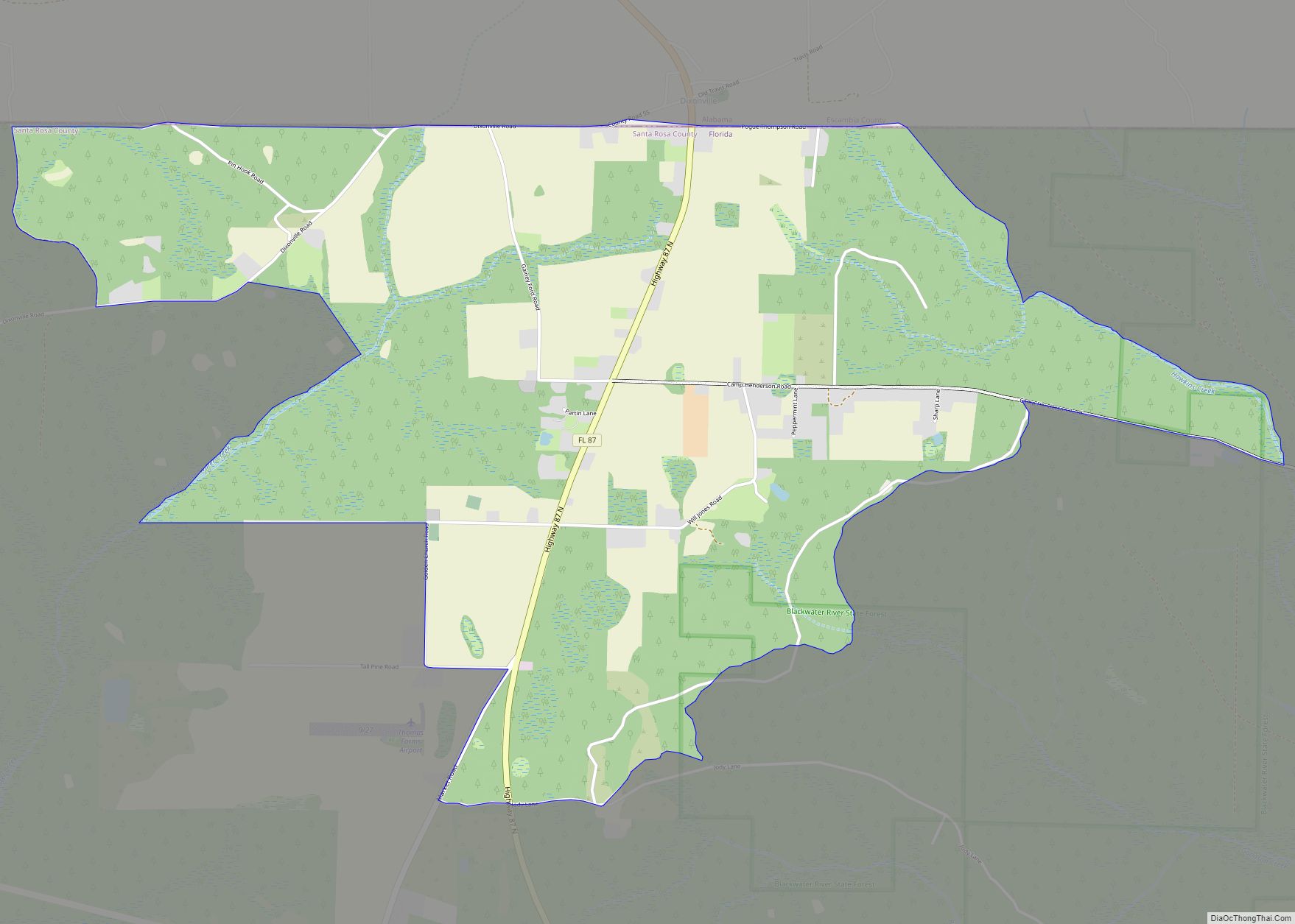
Online Interactive Map
Click on ![]() to view map in "full screen" mode.
to view map in "full screen" mode.
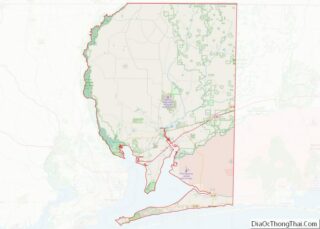
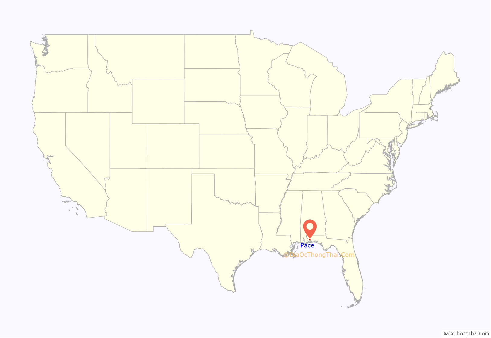
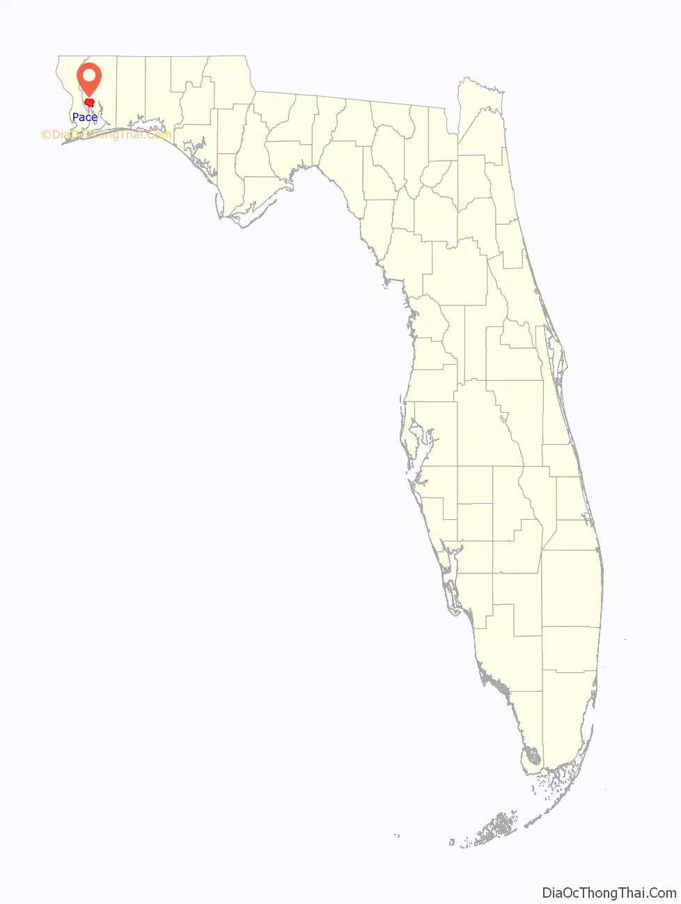
Pace location map. Where is Pace CDP?
History
Pace was first recognized in the 1912 United States Census. It was located just north of the Floridatown. Pace is named after James G. Pace, who owned large lumber, paper and turpentine productions that operated in the Pace area. On March 12, 1919, Black veteran Bud Johnson was lynched as part of the Red Summer of 1919. Throughout the 20th century, Pace remained a small, rural community. However, beginning in 1980, Pace began to experience rapid growth and began to evolve from a small, rural community to a fast-growing bedroom community of Pensacola. Commercial growth has also been strong: chain restaurants, chain retailers, and Big-box retailers such as Dick’s Sporting Goods, Walmart, and Target have moved into the Pace area. Floridatown and Pea Ridge are now considered to be neighborhoods within Pace. Pace continues to experience strong population growth, and the growth trend is expected to continue despite remaining an unincorporated community.
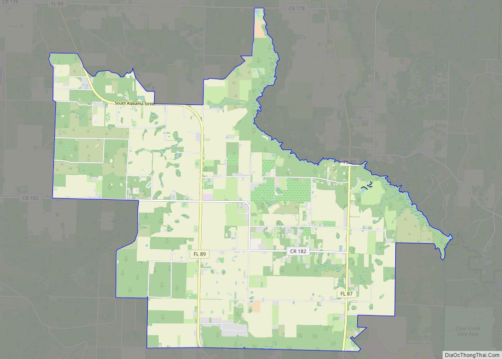
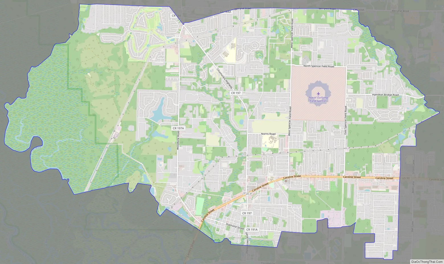
Pace Road Map
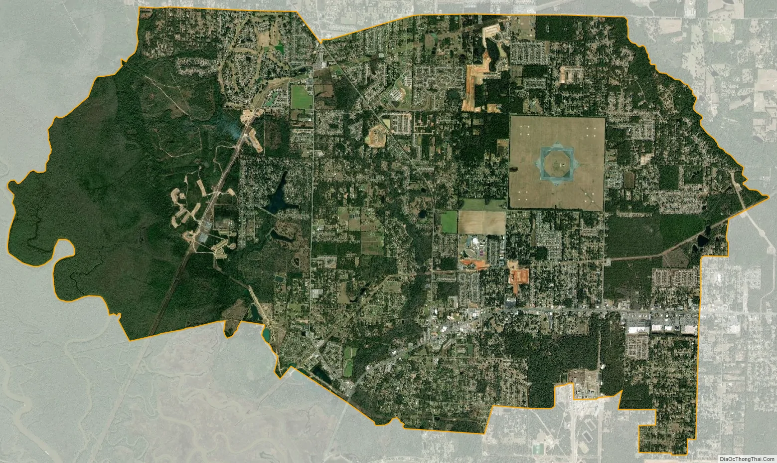
Pace city Satellite Map
Geography
Pace is located in the Western Florida Panhandle, just north of Escambia Bay in Santa Rosa County. Pace comprises the 32571 ZIP code, and is located northeast of Pensacola, and west of Milton. Pace is located approximately 25 minutes driving distance away from Downtown Pensacola. According to the United States Census Bureau, Pace has a total area of 9.4 square miles (24 km), all land.
See also
Map of Florida State and its subdivision:- Alachua
- Baker
- Bay
- Bradford
- Brevard
- Broward
- Calhoun
- Charlotte
- Citrus
- Clay
- Collier
- Columbia
- Desoto
- Dixie
- Duval
- Escambia
- Flagler
- Franklin
- Gadsden
- Gilchrist
- Glades
- Gulf
- Hamilton
- Hardee
- Hendry
- Hernando
- Highlands
- Hillsborough
- Holmes
- Indian River
- Jackson
- Jefferson
- Lafayette
- Lake
- Lee
- Leon
- Levy
- Liberty
- Madison
- Manatee
- Marion
- Martin
- Miami-Dade
- Monroe
- Nassau
- Okaloosa
- Okeechobee
- Orange
- Osceola
- Palm Beach
- Pasco
- Pinellas
- Polk
- Putnam
- Saint Johns
- Saint Lucie
- Santa Rosa
- Sarasota
- Seminole
- Sumter
- Suwannee
- Taylor
- Union
- Volusia
- Wakulla
- Walton
- Washington
- Alabama
- Alaska
- Arizona
- Arkansas
- California
- Colorado
- Connecticut
- Delaware
- District of Columbia
- Florida
- Georgia
- Hawaii
- Idaho
- Illinois
- Indiana
- Iowa
- Kansas
- Kentucky
- Louisiana
- Maine
- Maryland
- Massachusetts
- Michigan
- Minnesota
- Mississippi
- Missouri
- Montana
- Nebraska
- Nevada
- New Hampshire
- New Jersey
- New Mexico
- New York
- North Carolina
- North Dakota
- Ohio
- Oklahoma
- Oregon
- Pennsylvania
- Rhode Island
- South Carolina
- South Dakota
- Tennessee
- Texas
- Utah
- Vermont
- Virginia
- Washington
- West Virginia
- Wisconsin
- Wyoming