Scott County is a county located in the U.S. state of Arkansas. As of the 2020 census, the population was 9,836. The county seat is Waldron. Scott County is Arkansas’ 28th county, formed on November 5, 1833, and named for Andrew Scott, a justice of the Supreme Court of the Arkansas Territory. It is an alcohol-prohibited or dry county.
| Name: | Scott County |
|---|---|
| FIPS code: | 05-127 |
| State: | Arkansas |
| Founded: | November 5, 1833 |
| Named for: | Andrew Scott |
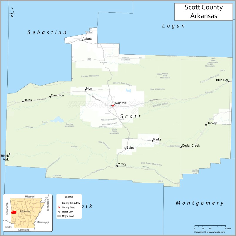
| Seat: | Waldron |
| Largest city: | Waldron |
| Total Area: | 898 sq mi (2,330 km²) |
| Land Area: | 892 sq mi (2,310 km²) |
| Total Population: | 9,836 |
| Population Density: | 11/sq mi (4.2/km²) |
| Time zone: | UTC−6 (Central) |
| Summer Time Zone (DST): | UTC−5 (CDT) |
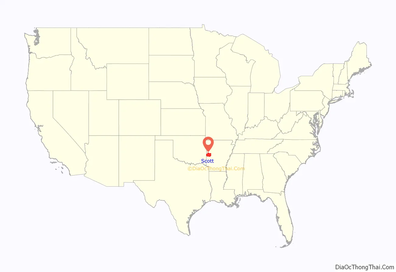
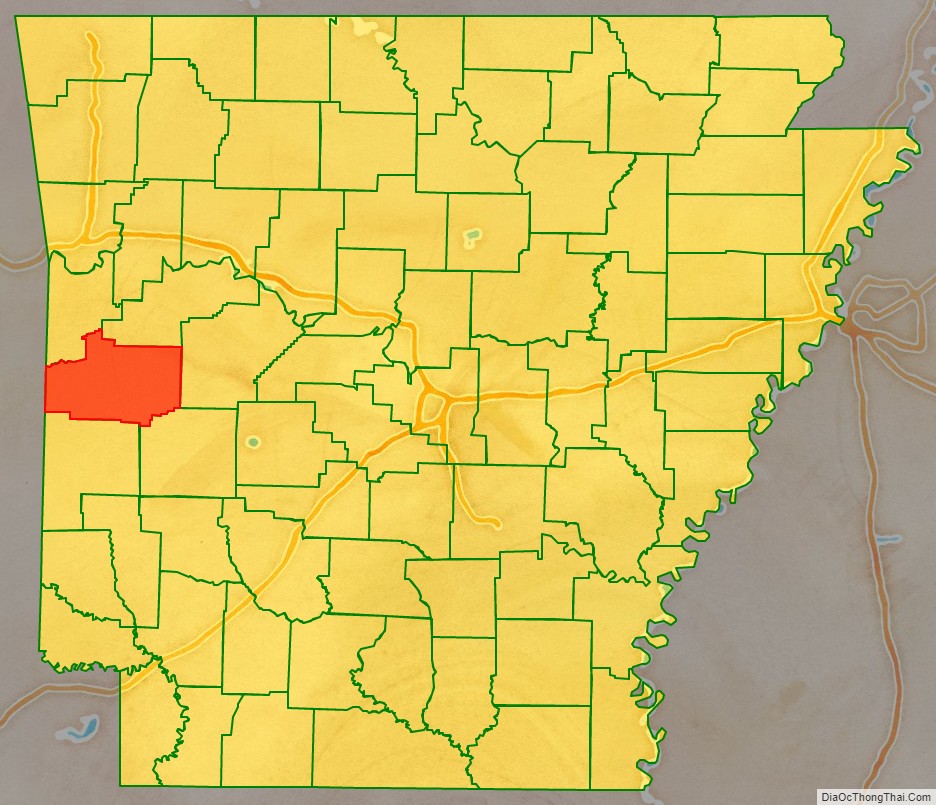
Scott County location map. Where is Scott County?
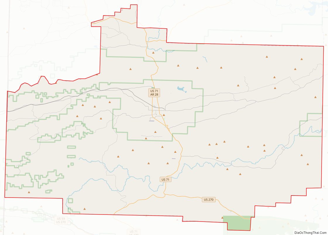
Scott County Road Map
Geography
According to the U.S. Census Bureau, the county has a total area of 898 square miles (2,330 km), of which 892 square miles (2,310 km) is land and 5.8 square miles (15 km) (0.6%) is water.
Major highways
- Future Interstate 49
- U.S. Highway 71
- U.S. Highway 270
- Highway 23
- Highway 28
- Highway 80
- Highway 250
Adjacent counties
- Sebastian County (northwest)
- Logan County (northeast)
- Yell County (east)
- Montgomery County (southeast)
- Polk County (south)
- Le Flore County, Oklahoma (west)
National protected area
- Ouachita National Forest (part)
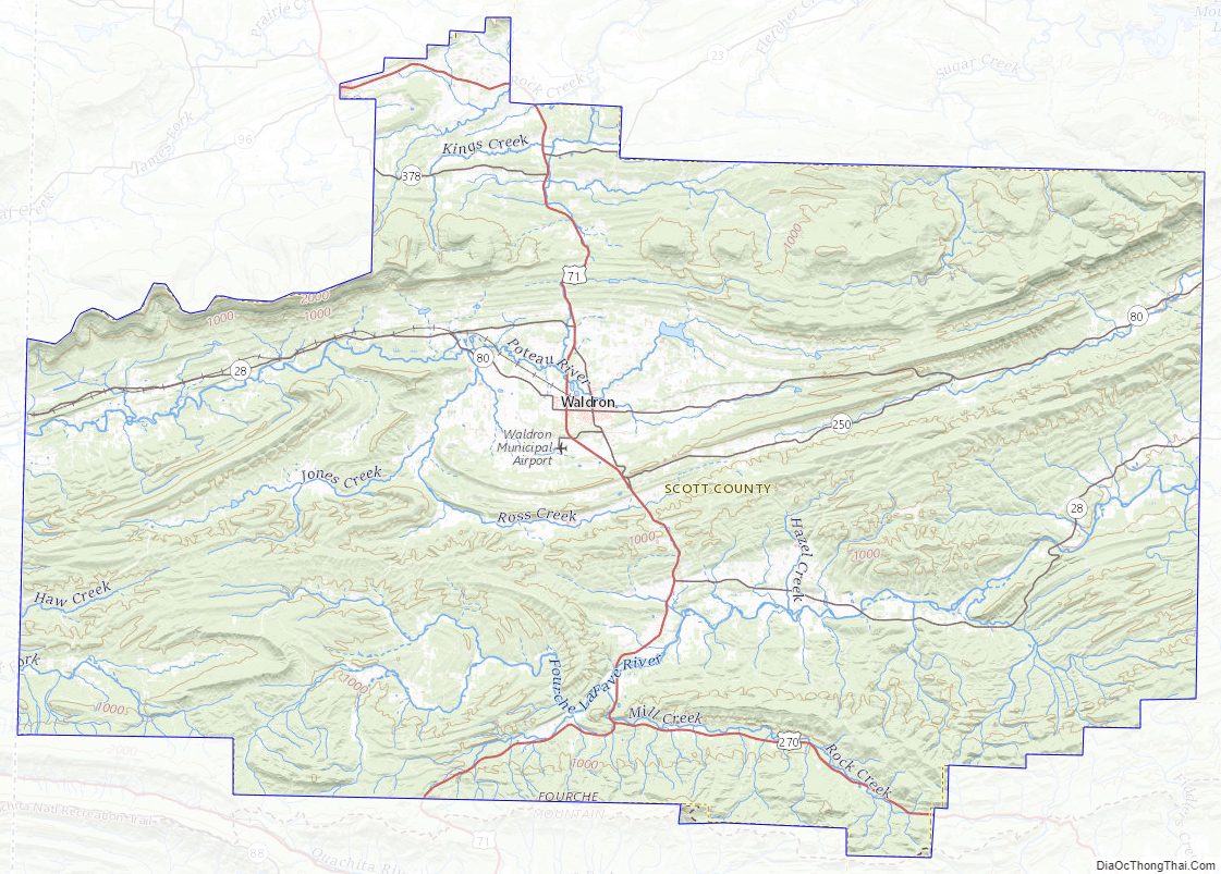
Scott County Topographic Map
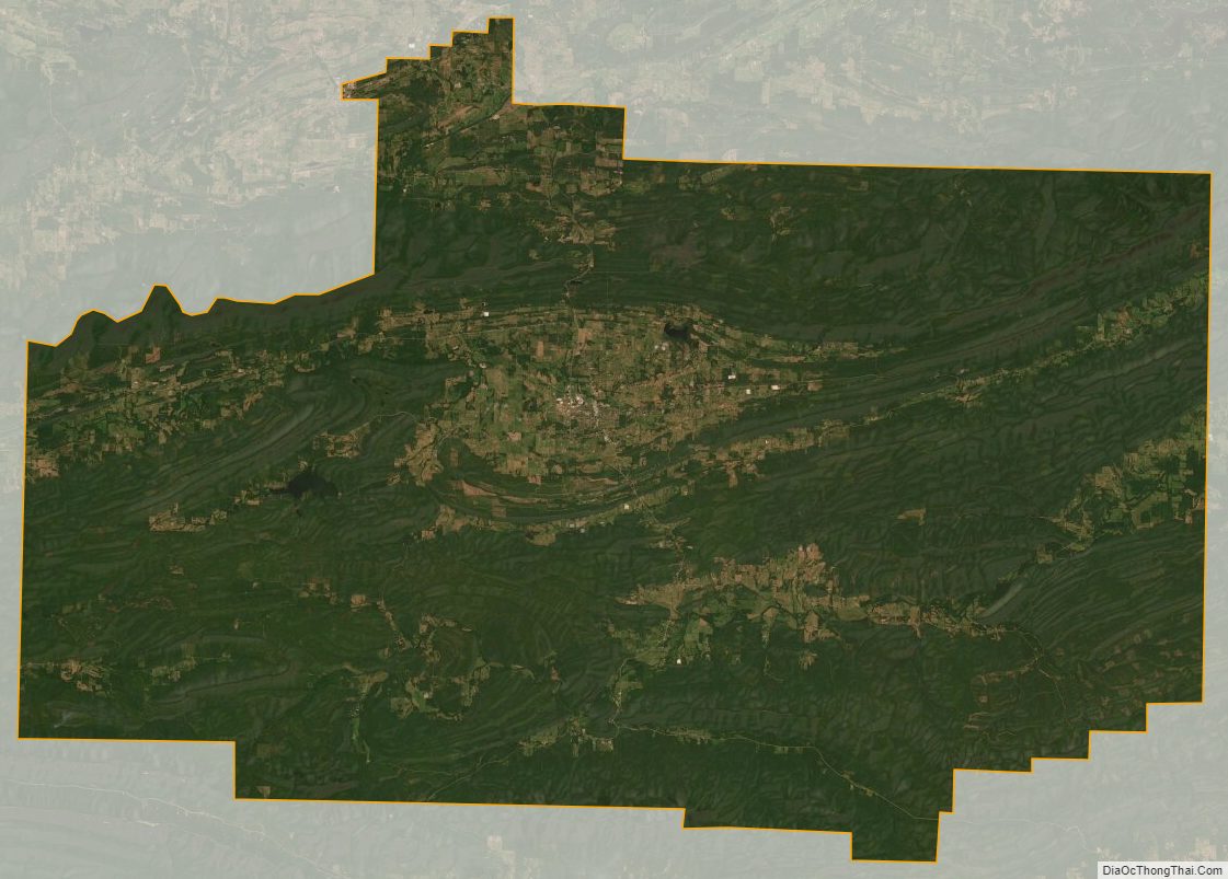
Scott County Satellite Map
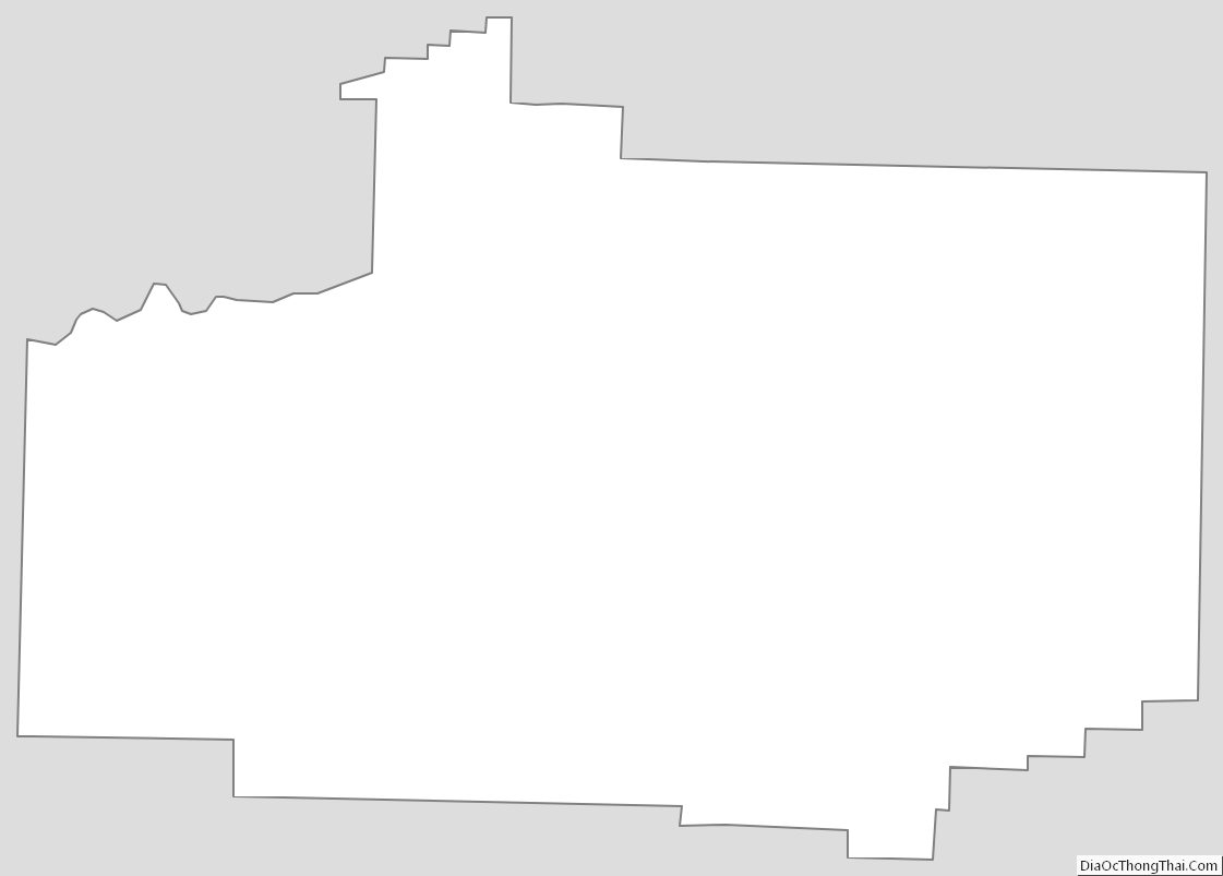
Scott County Outline Map