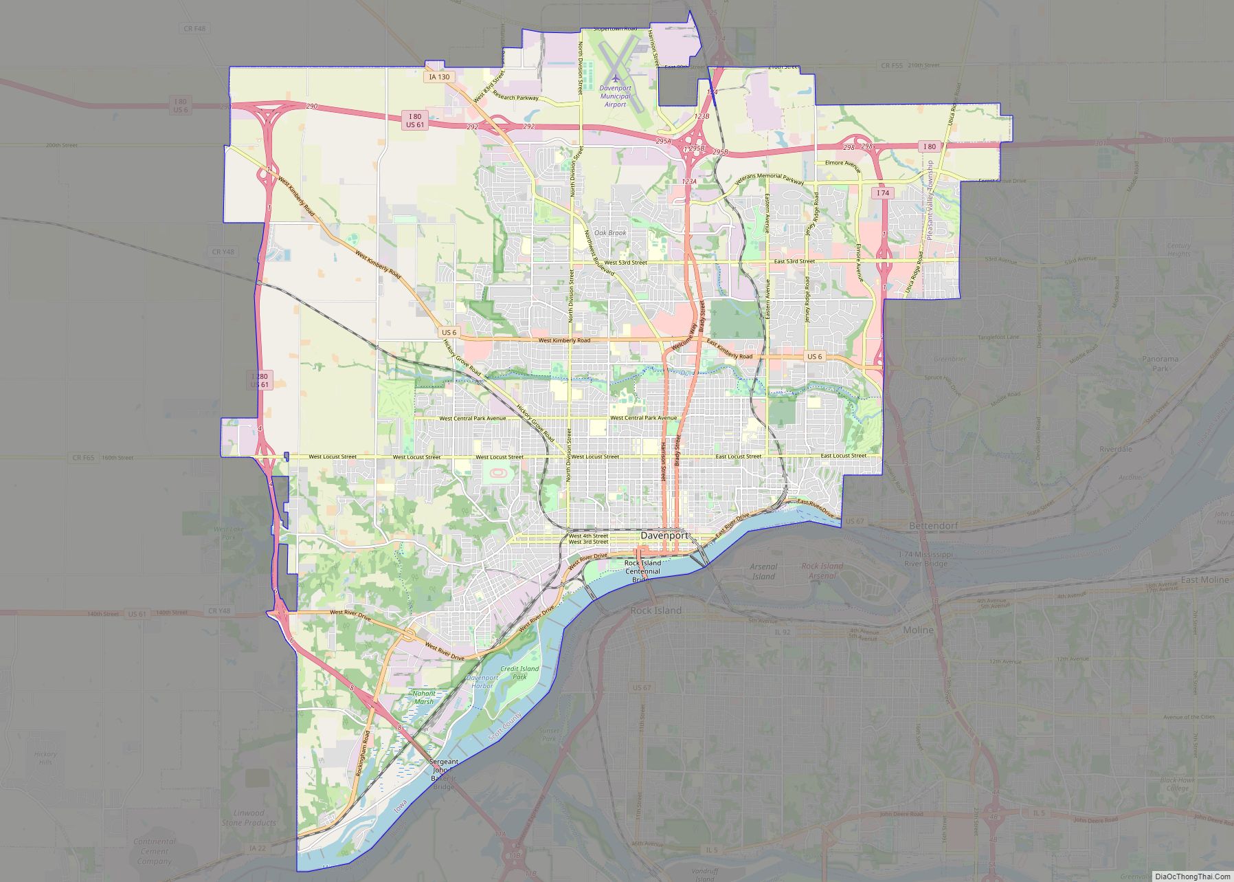
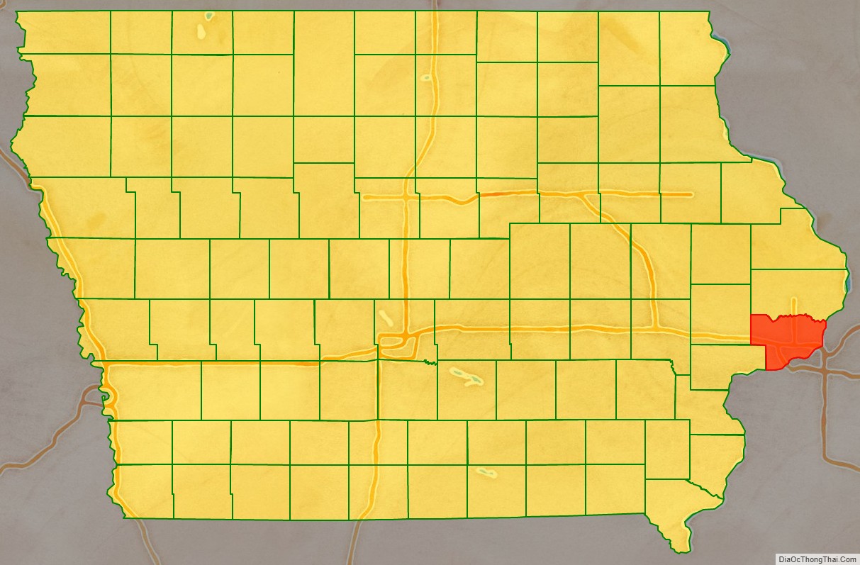
Scott County is a county located in the U.S. state of Iowa. As of the 2020 census, the population was 174,669, making it the third-most populous county in Iowa. The county seat is Davenport.
Scott County is included in the Davenport–Moline–Rock Island, IA–IL Metropolitan Statistical Area.
| Name: | Scott County |
|---|---|
| FIPS code: | 19-163 |
| State: | Iowa |
| Founded: | 1837 |
| Named for: | Winfield Scott |
| Seat: | Davenport |
| Largest city: | Davenport |
| Total Area: | 468 sq mi (1,210 km²) |
| Land Area: | 458 sq mi (1,190 km²) |
| Total Population: | 174,669 |
| Population Density: | 370/sq mi (140/km²) |
| Time zone: | UTC−6 (Central) |
| Summer Time Zone (DST): | UTC−5 (CDT) |
| Website: | www.scottcountyiowa.gov |
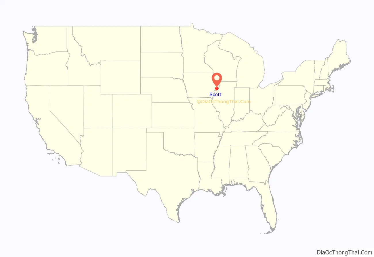
Scott County location map. Where is Scott County?
History
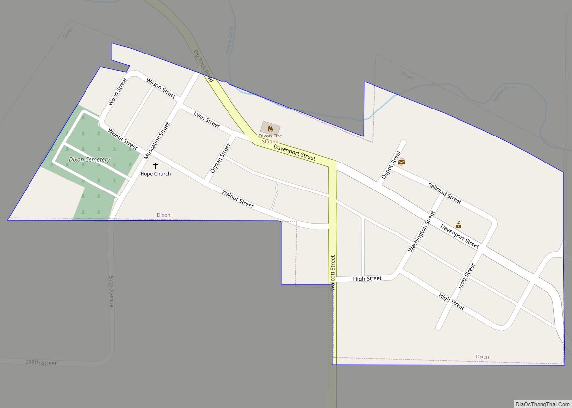
The first American settlement in the area now known as Scott County was Clark’s Ferry or Clark’s Landing (now Buffalo) in 1833. Other early towns included Davenport (now the county seat and largest city) and the town of Rockingham (which ceased to exist in 1847). The area was fully surveyed in 1837, and the county was established by the Wisconsin territorial legislature in that same year. Scott County is named for General Winfield Scott, who was the presiding officer at the signing of the peace treaty ending the Black Hawk War.
By 1900 the population of the county was 51,500, and by 1950 it was over 100,000. Scott County now comprises part of the Quad City region, which includes the cities of Davenport and Bettendorf (in Iowa) and Rock Island, Moline and East Moline (in Illinois).
The present Scott County Courthouse was completed in 1955 and expanded along with the jail in 2007. The old section of the Scott County Jail was listed on the National Register of Historic Places in 1983. The courthouse was included as a contributing property in the Davenport Downtown Commercial Historic District in 2020.
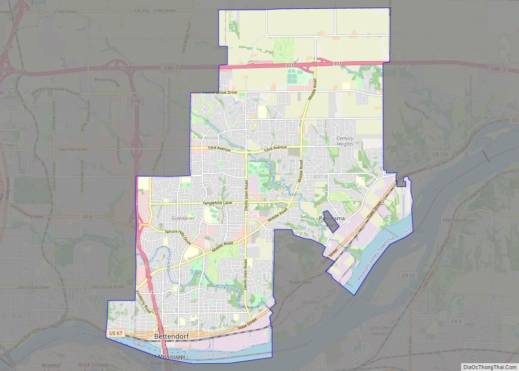
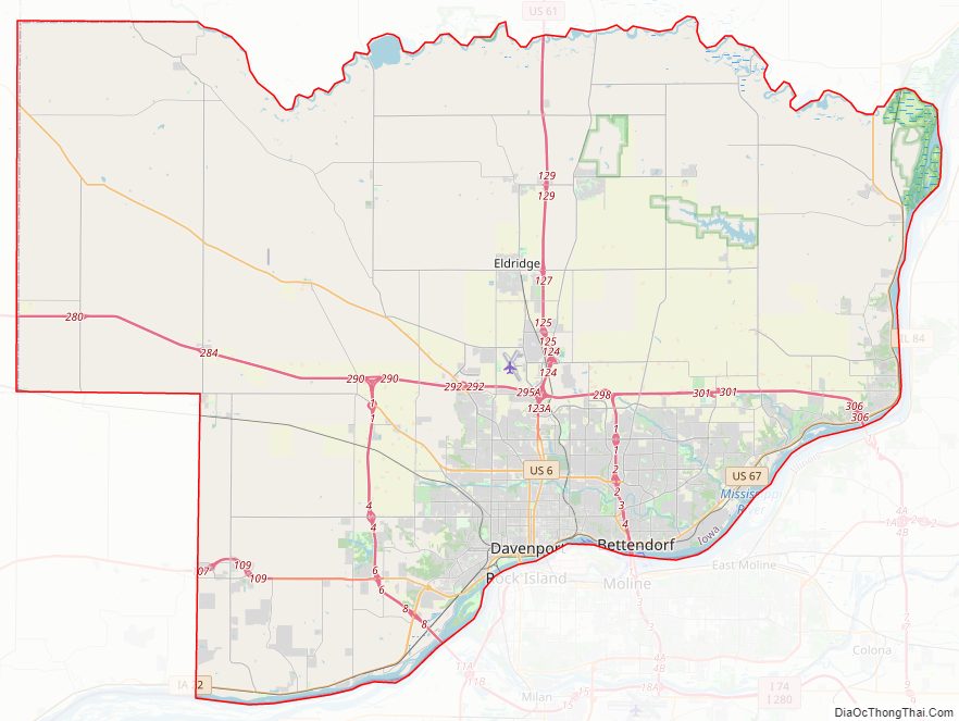
Scott County Road Map
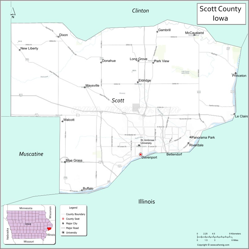
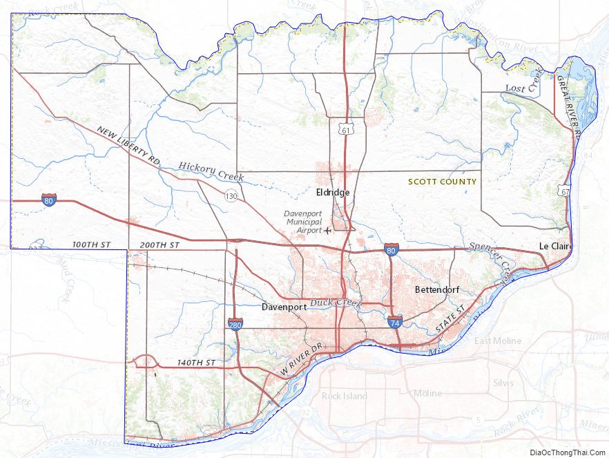
Geography
The county seat is the city of Davenport. According to the U.S. Census Bureau, the county has a total area of 468 square miles (1,210 km), of which 458 square miles (1,190 km) is land and 10 square miles (26 km) (2.2%) is water. Part of the Upper Mississippi River National Wildlife and Fish Refuge is located within the county.
Major highways
- Interstate 74
- Interstate 80
- Interstate 280
- U.S. Highway 6
- U.S. Highway 61
- U.S. Highway 67
- Iowa Highway 22
- Iowa Highway 130
Transit
- Bettendorf Transit
- Davenport Citibus
- List of intercity bus stops in Iowa
Adjacent counties
- Clinton County (north)
- Rock Island County, Illinois (east and south)
- Muscatine County (southwest)
- Cedar County (northwest)
Scott County Topographic Map
Scott County Satellite Map
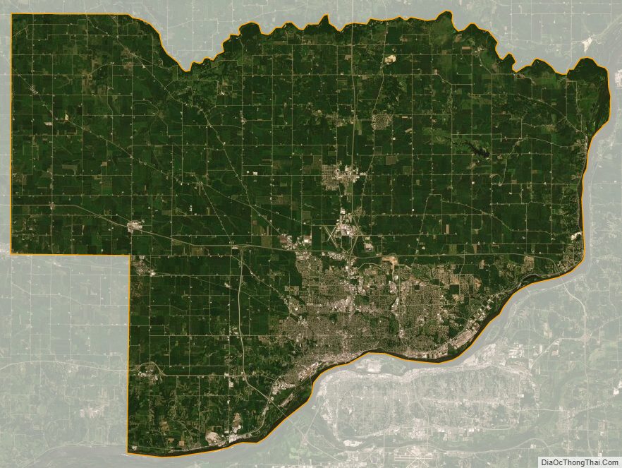
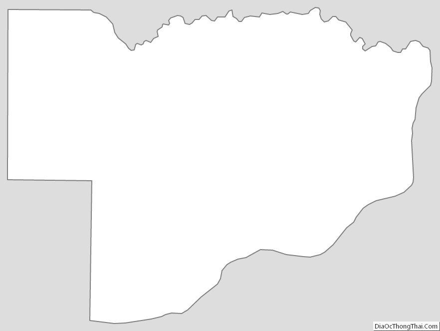
Scott County Outline Map