Buffalo is a city in Scott County, Iowa, United States. The population was 1,176 at the 2020 census. Buffalo is located on the Mississippi River. The city is a part of the Quad Cities Metropolitan Area.
| Name: | Buffalo city |
|---|---|
| LSAD Code: | 25 |
| LSAD Description: | city (suffix) |
| State: | Iowa |
| County: | Scott County |
| Elevation: | 564 ft (172 m) |
| Land Area: | 6.77 sq mi (17.54 km²) |
| Water Area: | 0.04 sq mi (0.10 km²) |
| Population Density: | 173.68/sq mi (67.06/km²) |
| ZIP code: | 52728 |
| Area code: | 563 |
| FIPS code: | 1909235 |
| GNISfeature ID: | 0454951 |
| Website: | http://www.buffaloiowa.org |
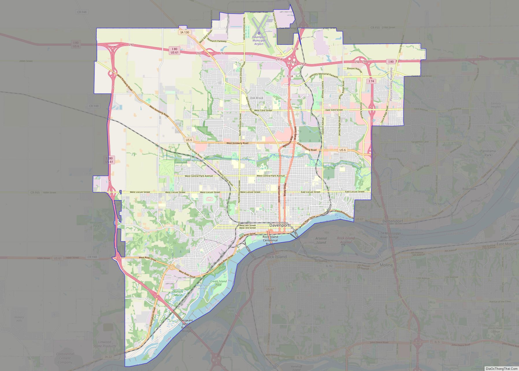
Online Interactive Map
Click on ![]() to view map in "full screen" mode.
to view map in "full screen" mode.
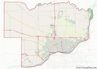
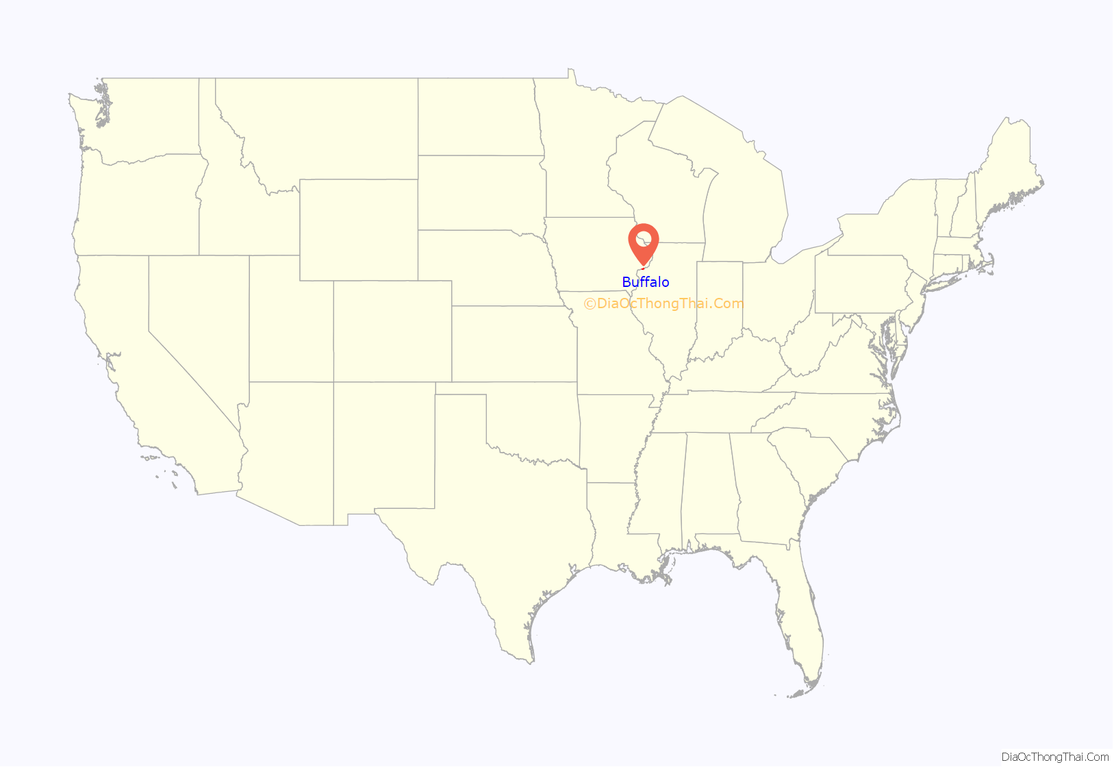
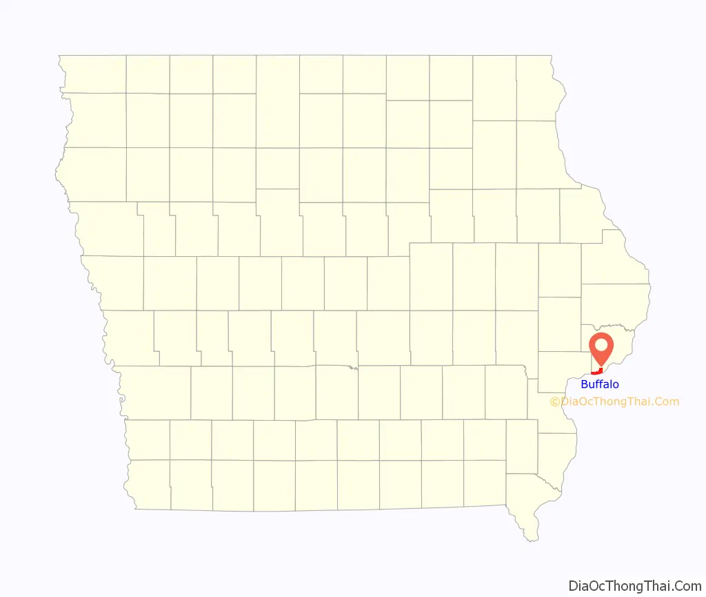
Buffalo location map. Where is Buffalo city?
History
Steamship captain Benjamin W. Clarke settled the area which is now Buffalo in 1833. This area was claimed following the 1833 Black Hawk Purchase which opened the area to nonnative settlers. In 1836, Clarke sold a 2/3 interest in 90 acres of land to Captain E.A. Mix and Dr. Pillsbury and collectively the three men platted the town of Buffalo after Buffalo, New York. This was the first town to be platted in Scott County. The town was hopeful for a county seat but found itself on the Western edge of Scott County after its districting in 1837. This made the town unsuitable for the county seat compared to the centrally located Davenport.
The Buffalo County Public School District #1 opened in the town in 1836. Coal deposits were discovered in 1834 and sold to passing steamboats. A post office was opened in the town in 1836. The first criminal trial in Scott County was held in Buffalo in 1836 for petty theft.
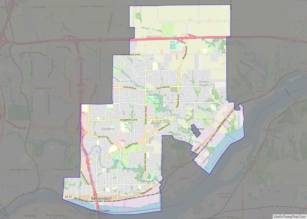
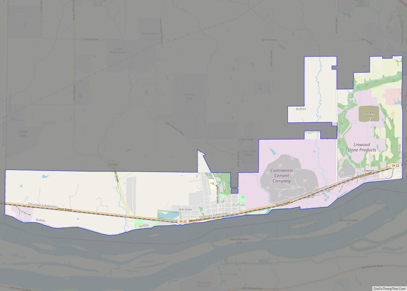
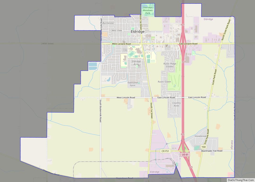
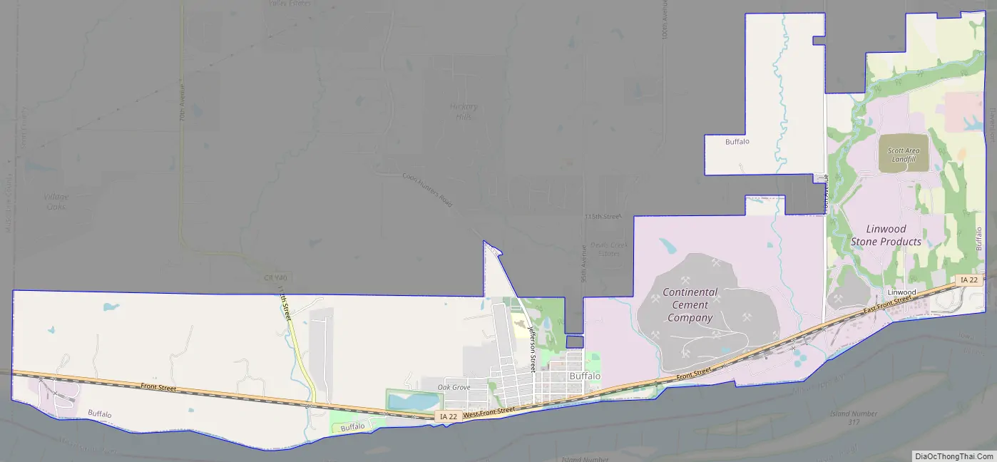
Buffalo Road Map
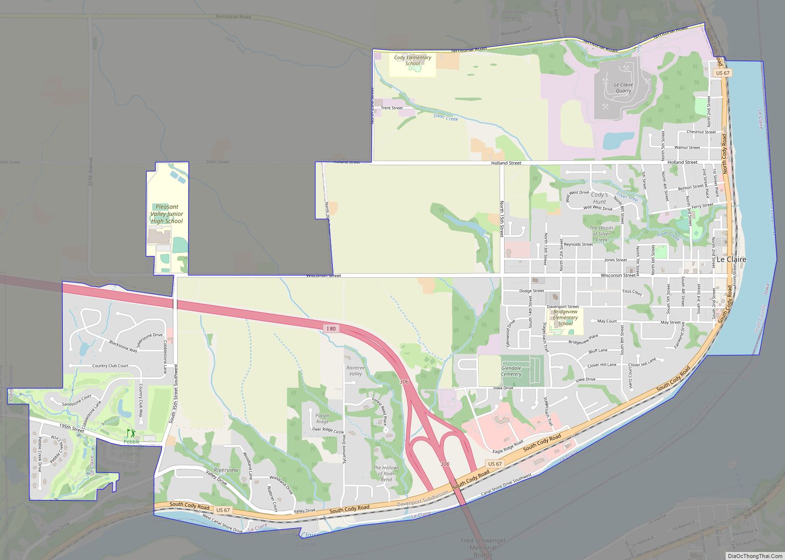
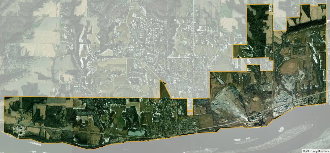
Buffalo city Satellite Map
Geography
Buffalo’s longitude and latitude coordinates
in decimal form are 41.459231, -90.721244.
According to the United States Census Bureau, the city has a total area of 6.49 square miles (16.81 km), of which 6.45 square miles (16.71 km) is land and 0.04 square miles (0.10 km) is water. This is the only place where the Mississippi River runs chiefly from east to west instead of south or southwesterly.
See also
Map of Iowa State and its subdivision:- Adair
- Adams
- Allamakee
- Appanoose
- Audubon
- Benton
- Black Hawk
- Boone
- Bremer
- Buchanan
- Buena Vista
- Butler
- Calhoun
- Carroll
- Cass
- Cedar
- Cerro Gordo
- Cherokee
- Chickasaw
- Clarke
- Clay
- Clayton
- Clinton
- Crawford
- Dallas
- Davis
- Decatur
- Delaware
- Des Moines
- Dickinson
- Dubuque
- Emmet
- Fayette
- Floyd
- Franklin
- Fremont
- Greene
- Grundy
- Guthrie
- Hamilton
- Hancock
- Hardin
- Harrison
- Henry
- Howard
- Humboldt
- Ida
- Iowa
- Jackson
- Jasper
- Jefferson
- Johnson
- Jones
- Keokuk
- Kossuth
- Lee
- Linn
- Louisa
- Lucas
- Lyon
- Madison
- Mahaska
- Marion
- Marshall
- Mills
- Mitchell
- Monona
- Monroe
- Montgomery
- Muscatine
- O'Brien
- Osceola
- Page
- Palo Alto
- Plymouth
- Pocahontas
- Polk
- Pottawattamie
- Poweshiek
- Ringgold
- Sac
- Scott
- Shelby
- Sioux
- Story
- Tama
- Taylor
- Union
- Van Buren
- Wapello
- Warren
- Washington
- Wayne
- Webster
- Winnebago
- Winneshiek
- Woodbury
- Worth
- Wright
- Alabama
- Alaska
- Arizona
- Arkansas
- California
- Colorado
- Connecticut
- Delaware
- District of Columbia
- Florida
- Georgia
- Hawaii
- Idaho
- Illinois
- Indiana
- Iowa
- Kansas
- Kentucky
- Louisiana
- Maine
- Maryland
- Massachusetts
- Michigan
- Minnesota
- Mississippi
- Missouri
- Montana
- Nebraska
- Nevada
- New Hampshire
- New Jersey
- New Mexico
- New York
- North Carolina
- North Dakota
- Ohio
- Oklahoma
- Oregon
- Pennsylvania
- Rhode Island
- South Carolina
- South Dakota
- Tennessee
- Texas
- Utah
- Vermont
- Virginia
- Washington
- West Virginia
- Wisconsin
- Wyoming