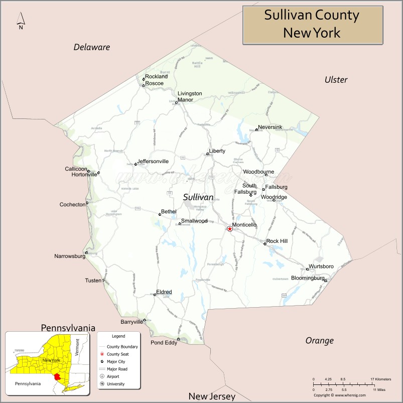
Sullivan County is a county in the U.S. state of New York. As of the 2020 census, the population was 78,624. The county seat is Monticello. The county’s name honors Major General John Sullivan, who was labeled at the time as a hero in the American Revolutionary War in part due to his successful campaign against the Iroquois (see Sullivan Expedition).
The county was the site of hundreds of Borscht Belt hotels and resorts, which had their heyday from the 1920s through the 1970s.
In 2010, the state’s center of population was at the southern edge of Sullivan County.
| Name: | Sullivan County |
|---|---|
| FIPS code: | 36-105 |
| State: | New York |
| Founded: | 1809 |
| Named for: | John Sullivan |
| Seat: | Monticello |
| Total Area: | 997 sq mi (2,580 km²) |
| Land Area: | 968 sq mi (2,510 km²) |
| Total Population: | 78,624 |
| Population Density: | 81.2/sq mi (31.4/km²) |
| Time zone: | UTC−5 (Eastern) |
| Summer Time Zone (DST): | UTC−4 (EDT) |
| Website: | co.sullivan.ny.us |
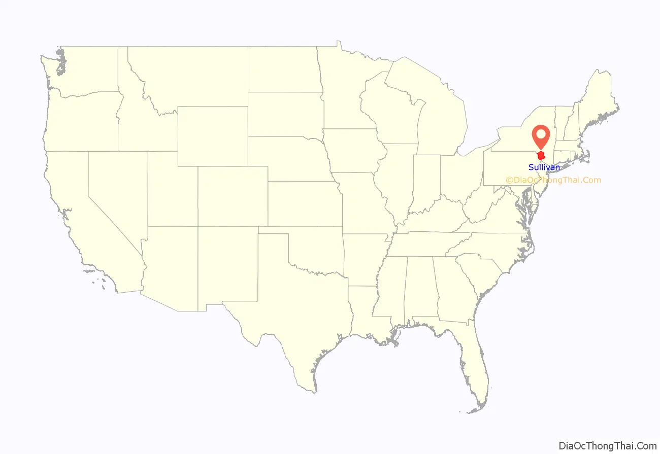
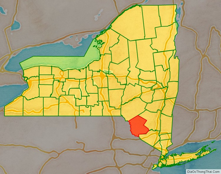
Sullivan County location map. Where is Sullivan County?
History
When the Province of New York established its first twelve counties in 1683, the present Sullivan County was part of Ulster County. In 1809, Sullivan County was split from Ulster County.
In the late 19th century, the Industrial Revolution and the advent of factories driven by water power along the streams and rivers led to an increase in population attracted to the jobs. Hamlets enlarged into towns. As industry restructured, many of those jobs left before the middle of the twentieth century. The economy changed again after that, shifting to a more tourist-based variety and benefiting from resorts established by European Jewish immigrants and their descendants in what became called the Borscht Belt of the 20th century. Resort hotels featured a wide variety of entertainers, some nationally known. At the beginning of this period, visitors traveled to the area by train, and later by automobile. The area’s natural resources also provided a setting for numerous summer camps frequented by the children of immigrants and their descendants.
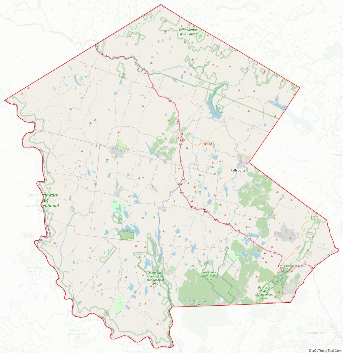
Sullivan County Road Map
Geography
According to the U.S. Census Bureau, the county has a total area of 997 square miles (2,580 km), of which 968 square miles (2,510 km) is land and 29 square miles (75 km) (2.9%) is water.
Sullivan County is in the southern part of New York State, southeast of Binghamton and southwest of Albany. It is separated from Pennsylvania along its southwest boundary by the Delaware River.
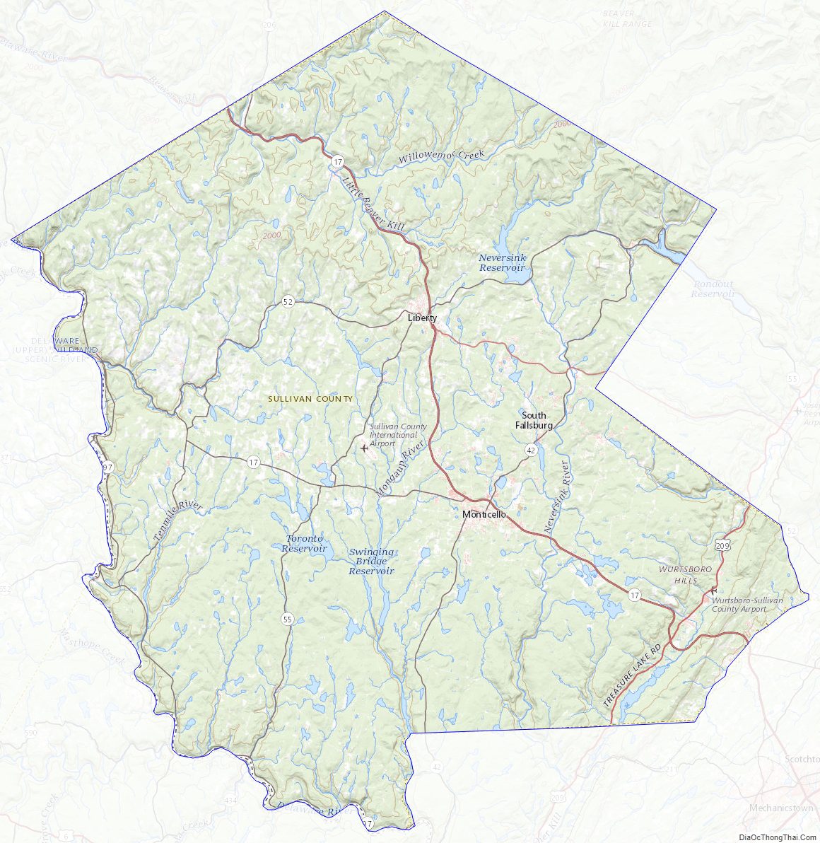
The county, which starts about 70 miles northwest of New York City, is in the Catskill Mountains. Its northeastern corner is within the Catskill Park.
The highest point in the county is a 3,118-foot (950 m) peak unofficially known as Beech Mountain, near Hodge Pond, a subsidiary summit to Mongaup Mountain across the Ulster County line. The lowest point is along the Delaware River.
Adjacent counties
- Delaware County – north
- Ulster County – northeast
- Orange County – southeast
- Pike County, Pennsylvania – southwest
- Wayne County, Pennsylvania – west
Sullivan County Topographic Map
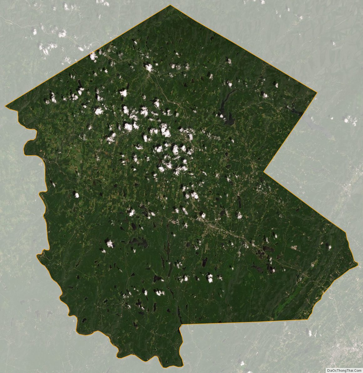
Sullivan County Satellite Map
Sullivan County Outline Map