Monticello (/ˌmɒntɪˈsɛloʊ/ (listen) MON-tiss-EL-oh) is a village located in Thompson, Sullivan County, within the Catskills region of New York, United States. The population was 7,173 at the 2020 census. It is the seat for the Town of Thompson and the county seat of Sullivan County. The village was named after the residence of Thomas Jefferson.
The village is located in the central part of Thompson, adjacent to New York Route 17. Monticello is the largest village in the county in both population and area.
| Name: | Monticello village |
|---|---|
| LSAD Code: | 47 |
| LSAD Description: | village (suffix) |
| State: | New York |
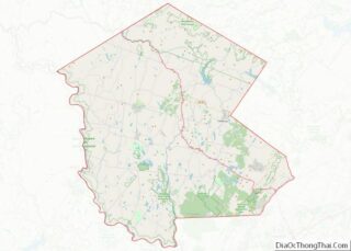
| County: | Sullivan County |
| Incorporated: | 1830 |
| Elevation: | 1,512 ft (461 m) |
| Total Area: | 4.11 sq mi (10.63 km²) |
| Land Area: | 4.08 sq mi (10.57 km²) |
| Water Area: | 0.02 sq mi (0.06 km²) |
| Total Population: | 7,173 |
| Population Density: | 1,757.66/sq mi (678.57/km²) |
| ZIP code: | 12701 |
| Area code: | 845 |
| FIPS code: | 3648175 |
| GNISfeature ID: | 0957561 |
| Website: | www.villageofmonticello.com |
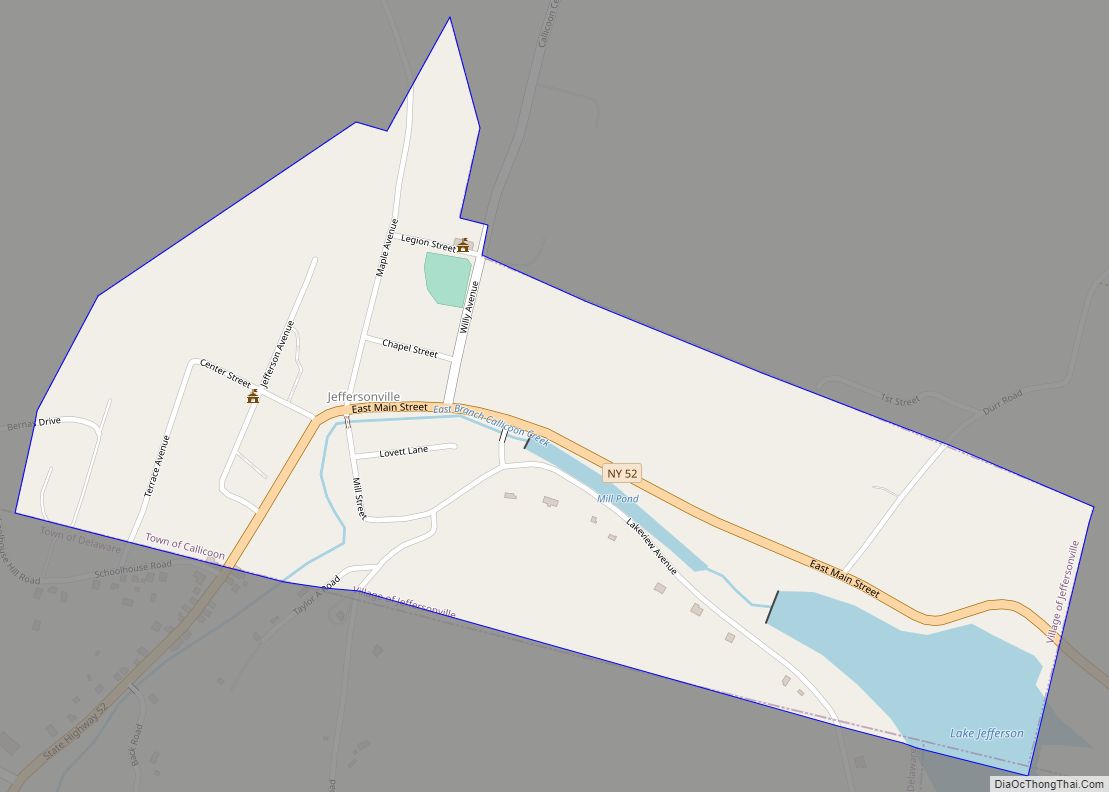
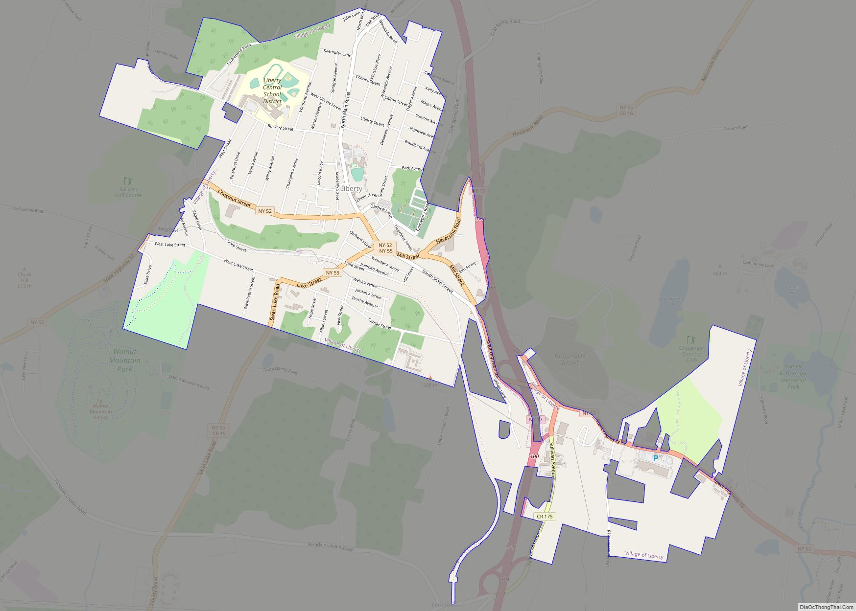
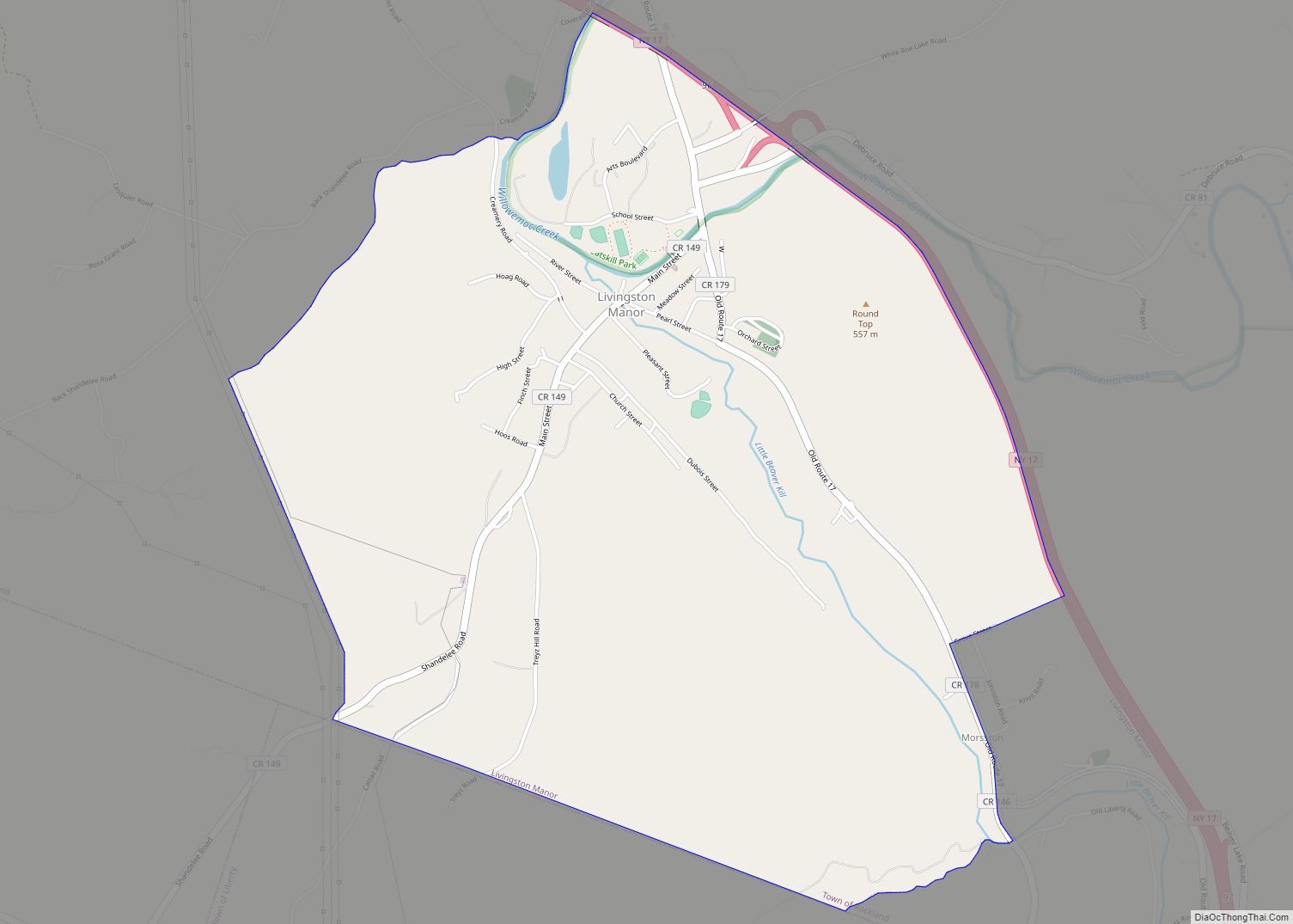
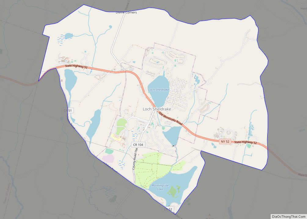
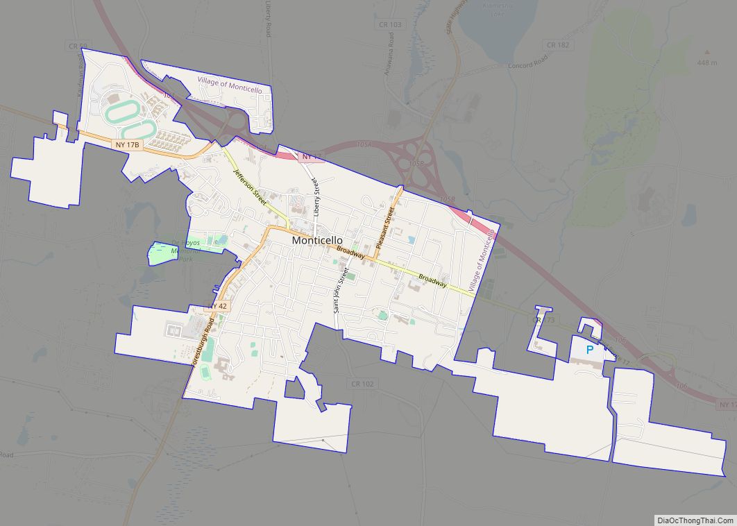
Online Interactive Map
Click on ![]() to view map in "full screen" mode.
to view map in "full screen" mode.
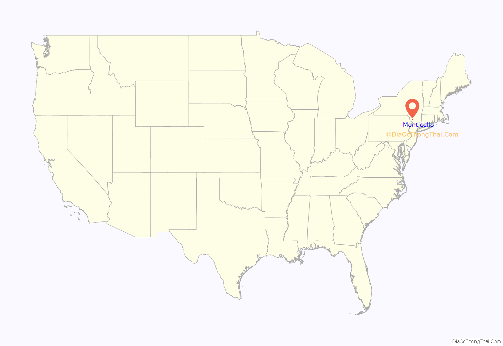
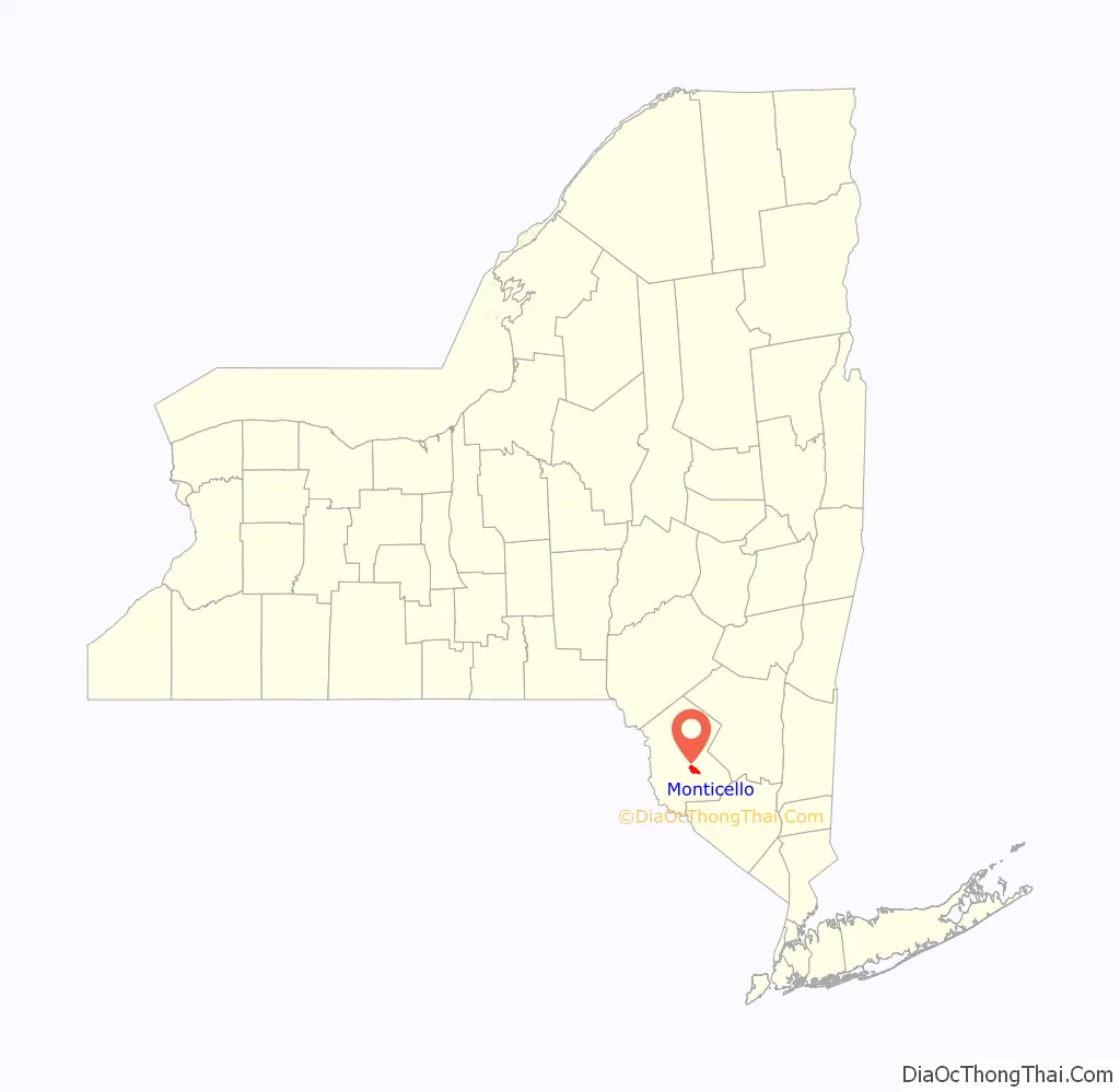
Monticello location map. Where is Monticello village?
History
In 1801, Samuel F. Jones was given the task of finding a route for the Newburgh and Cochecton Turnpike to connect The Hudson and Delaware Rivers. While he marked the path through what was then Orange and Ulster counties he saw an opportunity to build a village on the turnpike. Samuel convinced his younger brother, John Patterson Jones, to buy a 1861 acre tract of land that would be bisected by the turnpike so they could build this new village. In 1803, John and 11 other men started work on a sawmill, and other infrastructure to help them build the village. The group left the area during the winter but would return in the early months of 1804 to continue their work. In spring of the same year the route for the turnpike was finalized and the two brothers started to plan the village. After the plan was completed, the first tree was chopped down by John September 4, 1804 on the property that would later become his house. The village grew from there having 20 houses by 1813 and being officially incorporated on April 20, 1830.
1909 Fire
On the evening of August 10, 1909, a major fire started in the Broadway district of Monticello. The fire started in a local power station and quickly spread from building to building, engulfing the whole of Broadway street in flames. Local fire departments were scrambled to stop the fire, quickly containing the fire and stopping its spread to residential areas. By the time the dust had settled 40 buildings had been reduced to ash causing roughly 1 million dollars in damages. Luckily, no one was killed in the fire and the village soon rebuilt.
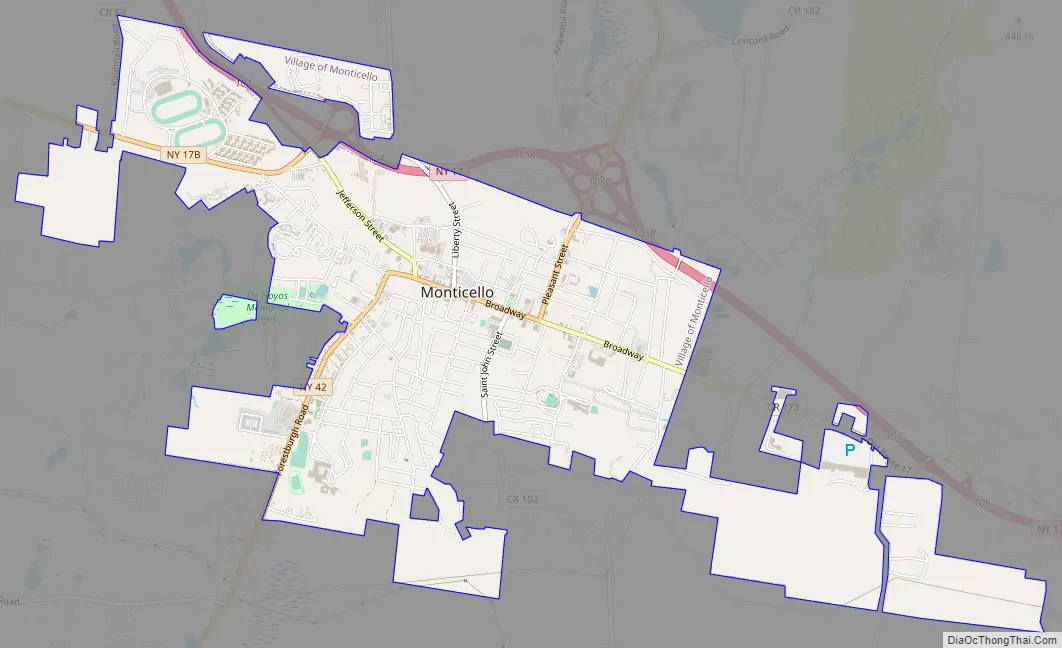
Monticello Road Map
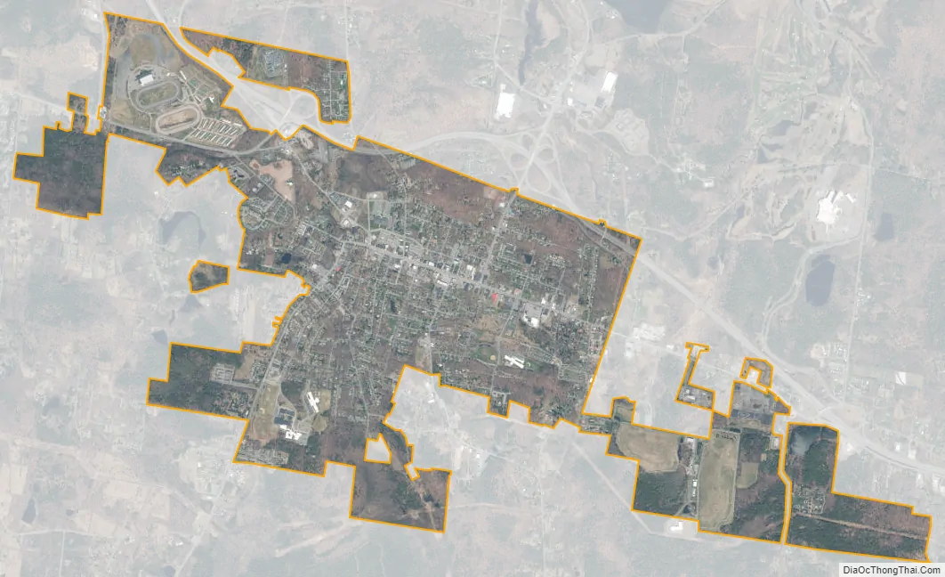
Monticello city Satellite Map
Geography
Monticello is located at 41°39′N 74°41′W / 41.650°N 74.683°W / 41.650; -74.683 (41.653, -74.690).
According to the United States Census Bureau, the village has a total area of 4.1 square miles (11 km), all land.
The Village of Monticello is located in the southern portion of the Catskill Mountains region of Lower New York. By driving distance, Monticello is approximately 80 miles (130 km) NE of Scranton, Pennsylvania, 90 miles (140 km) southeast of Binghamton, 150 miles (240 km) southeast of Elmira, 85 miles (137 km) northwest of New York City, 150 miles (240 km)northwest of Lakewood, New Jersey, and 100 miles (160 km) southwest of Albany.
See also
Map of New York State and its subdivision:- Albany
- Allegany
- Bronx
- Broome
- Cattaraugus
- Cayuga
- Chautauqua
- Chemung
- Chenango
- Clinton
- Columbia
- Cortland
- Delaware
- Dutchess
- Erie
- Essex
- Franklin
- Fulton
- Genesee
- Greene
- Hamilton
- Herkimer
- Jefferson
- Kings
- Lake Ontario
- Lewis
- Livingston
- Madison
- Monroe
- Montgomery
- Nassau
- New York
- Niagara
- Oneida
- Onondaga
- Ontario
- Orange
- Orleans
- Oswego
- Otsego
- Putnam
- Queens
- Rensselaer
- Richmond
- Rockland
- Saint Lawrence
- Saratoga
- Schenectady
- Schoharie
- Schuyler
- Seneca
- Steuben
- Suffolk
- Sullivan
- Tioga
- Tompkins
- Ulster
- Warren
- Washington
- Wayne
- Westchester
- Wyoming
- Yates
- Alabama
- Alaska
- Arizona
- Arkansas
- California
- Colorado
- Connecticut
- Delaware
- District of Columbia
- Florida
- Georgia
- Hawaii
- Idaho
- Illinois
- Indiana
- Iowa
- Kansas
- Kentucky
- Louisiana
- Maine
- Maryland
- Massachusetts
- Michigan
- Minnesota
- Mississippi
- Missouri
- Montana
- Nebraska
- Nevada
- New Hampshire
- New Jersey
- New Mexico
- New York
- North Carolina
- North Dakota
- Ohio
- Oklahoma
- Oregon
- Pennsylvania
- Rhode Island
- South Carolina
- South Dakota
- Tennessee
- Texas
- Utah
- Vermont
- Virginia
- Washington
- West Virginia
- Wisconsin
- Wyoming