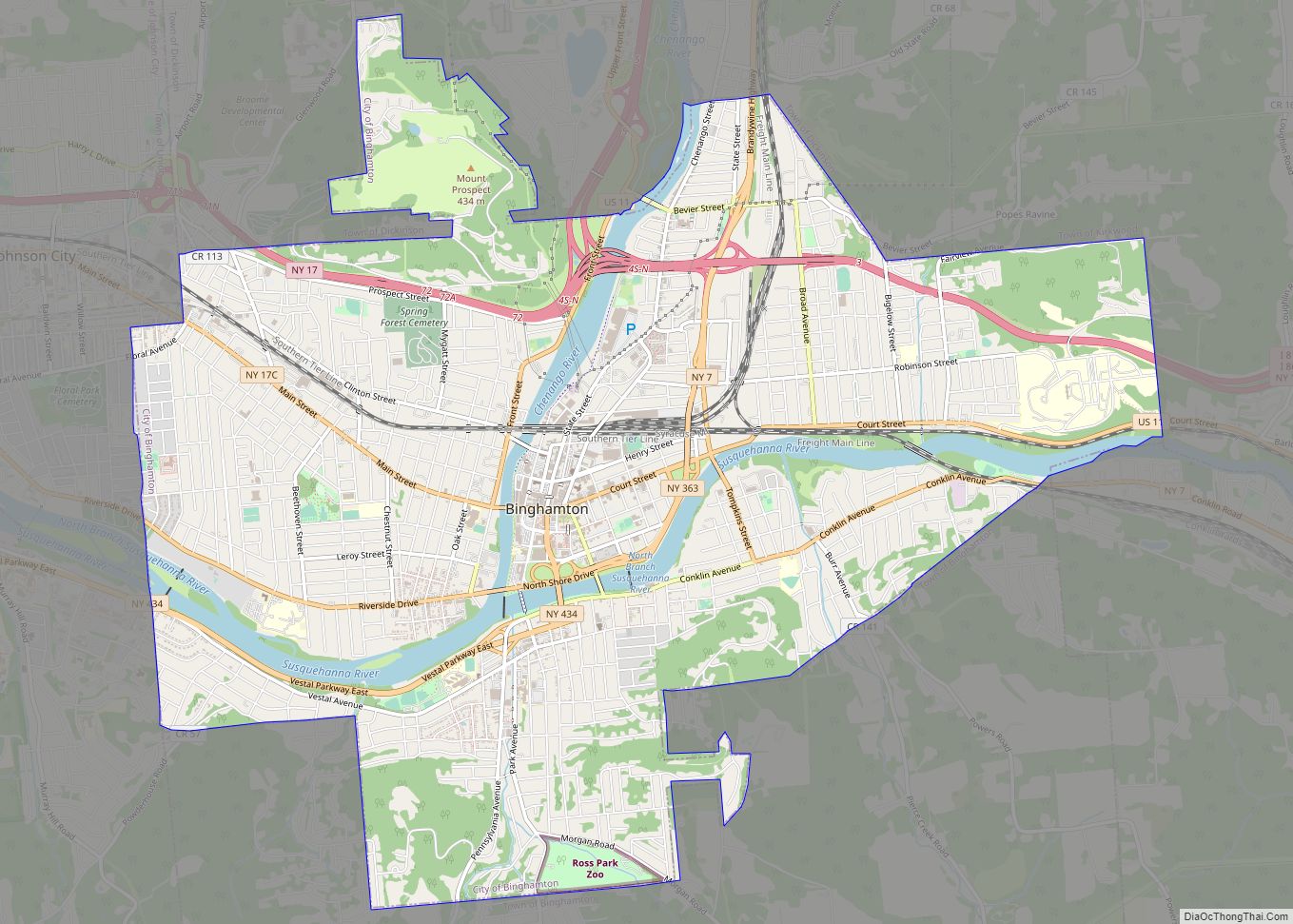
Binghamton (/ˈbɪŋəmtən/ BING-əm-tən) is a city in the U.S. state of New York, and serves as the county seat of Broome County. Surrounded by rolling hills, it lies in the state’s Southern Tier region near the Pennsylvania border, in a bowl-shaped valley at the confluence of the Susquehanna and Chenango Rivers. Binghamton is the principal city and cultural center of the Binghamton metropolitan area (also known as Greater Binghamton, or historically the Triple Cities, including Endicott and Johnson City), home to a quarter million people. The city’s population, according to the 2020 census, is 47,969.
From the days of the railroad, Binghamton was a transportation crossroads and a manufacturing center, and has been known at different times for the production of cigars, shoes, and computers. IBM was founded nearby, and the flight simulator was invented in the city, leading to a notable concentration of electronics- and defense-oriented firms. This sustained economic prosperity earned Binghamton the moniker of the Valley of Opportunity. However, starting with job cuts made by defense firms towards the end of the Cold War, the region lost a large part of its manufacturing industry.
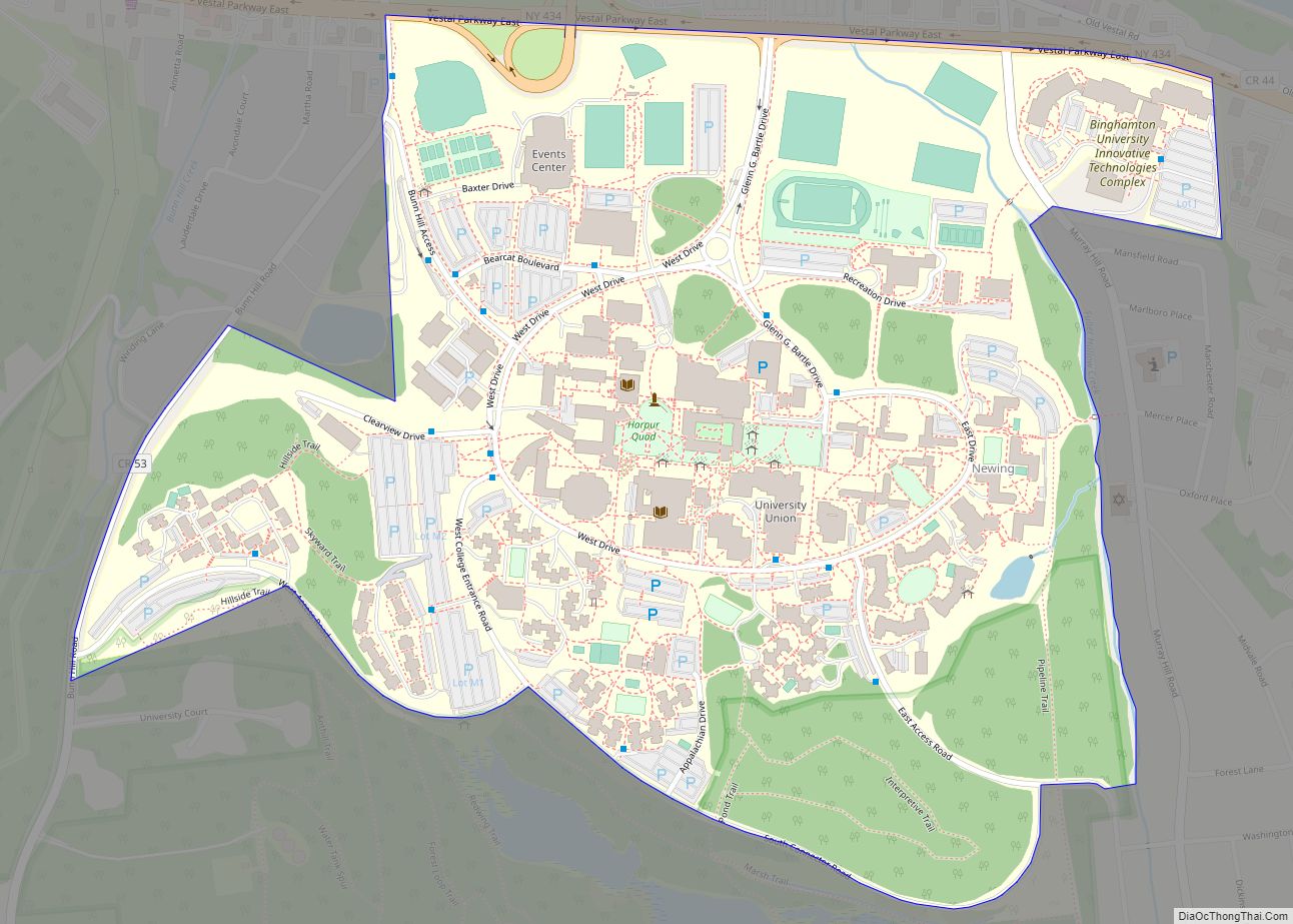
Today, while there is a continued concentration of high-tech firms, Binghamton is emerging as a healthcare- and education-focused city, with Binghamton University acting as much of the driving force behind this revitalization.
| Name: | Binghamton city |
|---|---|
| LSAD Code: | 25 |
| LSAD Description: | city (suffix) |
| State: | New York |
| County: | Broome County |
| Elevation: | 866 ft (264 m) |
| Land Area: | 10.48 sq mi (27.14 km²) |
| Water Area: | 0.65 sq mi (1.68 km²) 5.83% |
| Population Density: | 4,577.63/sq mi (1,767.39/km²) |
| ZIP code: | 139xx (13901 = downtown) |
| Area code: | 607 |
| FIPS code: | 3606607 |
| Website: | http://www.binghamton-ny.gov |
Online Interactive Map
Click on ![]() to view map in "full screen" mode.
to view map in "full screen" mode.
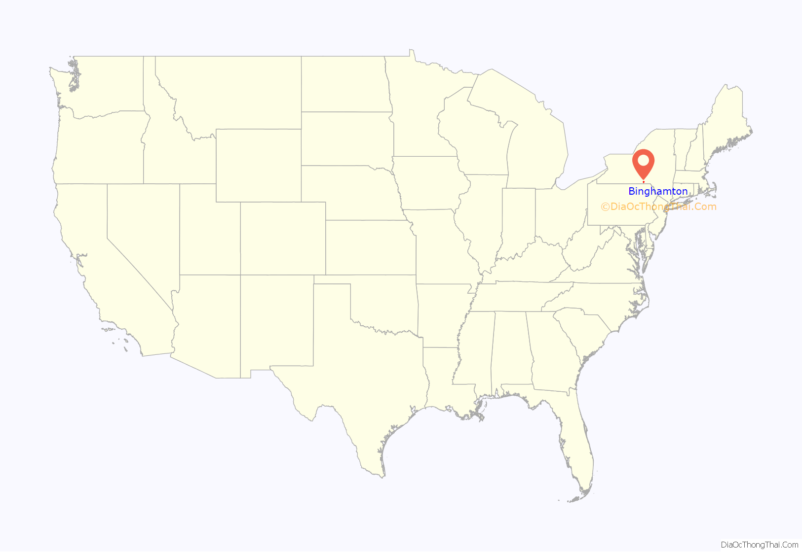
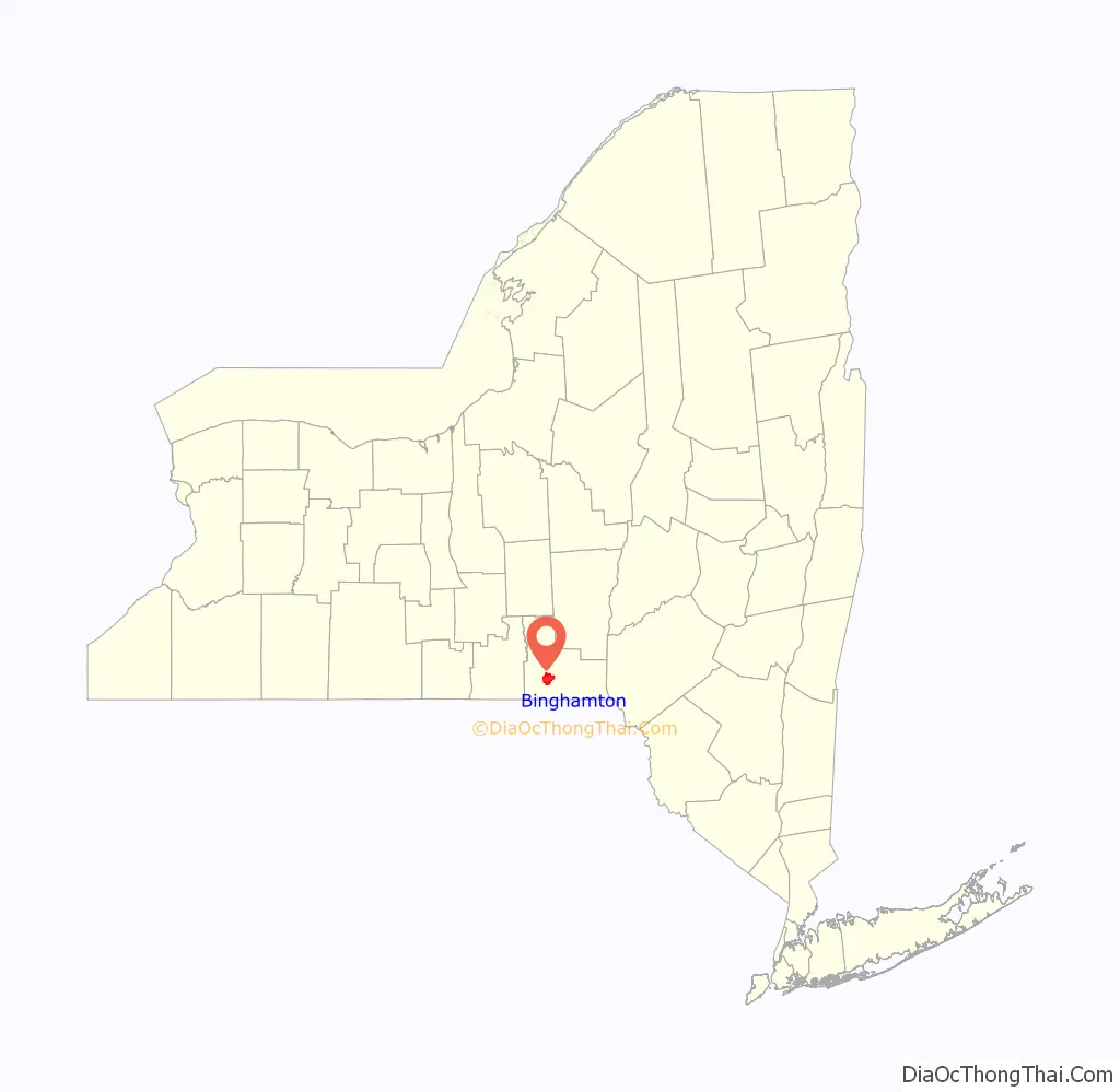
Binghamton location map. Where is Binghamton city?
History
Early settlement
The first known people of European descent to come to the area were the troops of the Sullivan Expedition in 1779, during the American Revolutionary War, who destroyed local villages of the Onondaga and Oneida tribes. The city was named after William Bingham, a wealthy Philadelphian who bought the 10,000 acre patent for the land in 1786, then consisting of parts of the towns of Union and Chenango. Joshua Whitney, Jr., Bingham’s land agent, chose land at the junction of the Chenango and Susquehanna Rivers to develop a settlement, then named Chenango Point, and helped build its roads and erect the first bridge. Significant agricultural growth led to the incorporation of the village of Binghamton in 1834.
The Chenango Canal, completed in 1837, connected Binghamton to the Erie Canal, and was the impetus for the initial industrial development of the area. This growth accelerated with the completion of the Erie Railroad between Binghamton and Jersey City, NJ in 1849. With the Delaware, Lackawanna and Western Railroad arriving soon afterward, the village became an important regional transportation center. Several buildings of importance were built at this time, including the New York State Inebriate Asylum, opened in 1858 as the first center in the United States to treat alcoholism as a disease.
Valley of Opportunity: growth as a manufacturing hub
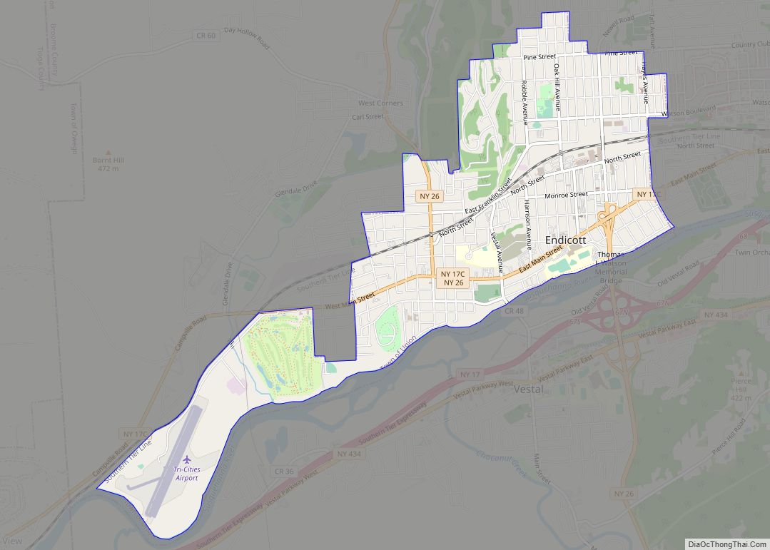
Binghamton incorporated as a city in 1867 and, due to the presence of several stately homes, was nicknamed the Parlor City. In the late 19th and early 20th centuries, many immigrants moved to the area, finding an abundance of jobs. During the 1880s, Binghamton became the second-largest manufacturer of cigars in the United States. By the early 1920s, Endicott Johnson, a shoe manufacturer whose development of welfare capitalism resulted in many amenities for local residents, became the region’s largest employer. An even larger influx of Europeans immigrated to Binghamton, and the working class prosperity resulted in the area being called the Valley of Opportunity.
In 1913, 31 people perished in the Binghamton Clothing Company fire, which resulted in reforms to the New York fire code. Major floods in 1935 and 1936 resulted in a number of deaths and washed out the Ferry Street Bridge (now the Clinton Street Bridge). The floods led the city to build flood walls along the length of the Susquehanna and Chenango Rivers.
During the Second World War, growth continued as IBM, which was founded in greater Binghamton, emerged as a global technology leader. Along with Edwin Link’s invention of the flight simulator in Binghamton, IBM’s growth helped transition the region to a high-tech economy. Other major manufacturers included Ansco and General Electric. Until the Cold War ended, the area never experienced an economic downfall, due in part to its defense-oriented industries. The city’s population peaked at around 85,000 in the mid-1950s.
Decline and recovery
Post-war suburban development led to a decline in the city’s population and the rapid growth of the towns of Vestal and Union. Like many other Rust Belt cities, traditional manufacturers saw steep declines, though Binghamton’s technology industry limited this impact. Urban renewal efforts to reverse these trends dominated construction in the city during the 1960s and early 1970s and led to the destruction of many ornate city buildings. The construction included the creation of Government Plaza, the Broome County Veterans Memorial Arena, and the Brandywine Highway. While these projects failed to stem most of the losses, they established Binghamton as the region’s government and cultural center. The city’s population declined from approximately 64,000 in 1969 to 56,000 by the early 1980s.
As the Cold War ended in 1991 with the collapse of the Soviet Union, defense-related industries in the Binghamton area began to falter, resulting in several closures and widespread layoffs These were most notable at IBM, which sold its Federal Systems division and laid off several thousands of workers. The local economy went into a deep recession, and the long-prevalent manufacturing jobs dropped by 64% from 1990 to 2013.
In the 21st century, the city has tried to diversify its economic base to spur revitalization. The local economy has slowly transitioned toward services and healthcare. Major emphasis has been placed on Binghamton University, which built a downtown campus in 2007 and several student housing complexes. The increased downtown residential population and the university’s plans to build additional student housing have spurred development of supporting businesses and a renewed focus on the riverfront. Unfortunately, two severe floods have stymied the recovery: while most of the impact of the Mid-Atlantic United States flood of 2006 was in the surrounding metropolitan area, the remnants of Tropical Storm Lee topped city flood walls in September 2011, causing $1 billion of damage in greater Binghamton.
On April 3, 2009, a man shot 13 people dead, then himself, at the American Civic Association’s offices in Binghamton.
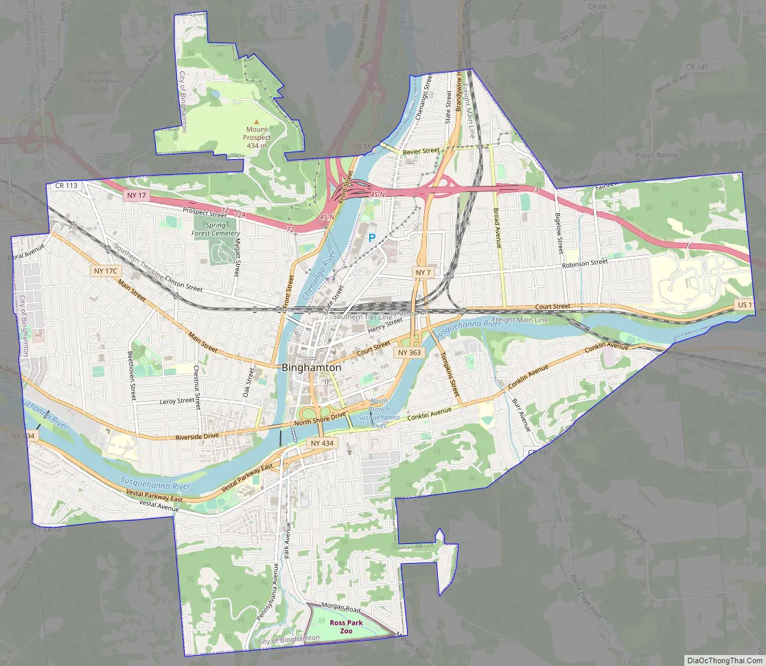
Binghamton Road Map
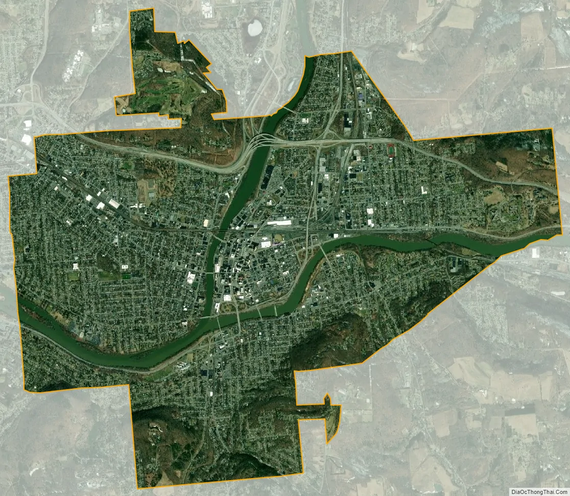
Binghamton city Satellite Map
Geography
Cityscape
According to the U.S. Census Bureau, the city has an area of 11.14 square miles (28.9 km), of which 10.49 square miles (27.2 km) is land and 0.65 square miles (1.7 km) (5.83%) is water.
Binghamton, like all of the Southern Tier of New York, lies on the Allegheny Plateau; hence its hilly terrain. As such, elevations can vary in the city–Downtown, for example, is at an elevation of around 860 feet, while residential homes in the hills can go up to over 1,800 feet, such as on Ingram Hill. The highest peak in Binghamton is Table Rock Ridge, which is at 1,854 feet.
The Downtown area sits at the confluence of the Chenango and Susquehanna Rivers, in the middle of a long but relatively narrow valley. The north branch of the Susquehanna River passes south of downtown. This branch rises in eastern New York and receives a number of tributaries above Binghamton. In the center of the city, the Chenango River feeds into the Susquehanna from the north at Confluence Park. The Binghamton River Trail, a 1.5 mile trail along the Chenango, runs between Cheri Lindsey Park on the Northside and Confluence Park in Downtown. Eleven bridges span the rivers inside city limits. Broome County has 17.5 miles of levees, many of which are in Binghamton. Major floods have occurred in 1865, 1935, 1936, 2006, and 2011.
The incorporation of Binghamton united various communities on both shores of the two rivers. The majority of the city’s population and development lies along the rolling terrain nearest the riverbanks with sparse development in the hills that define the city limits. The old city was laid out on a grid system by Joshua Whitney, Jr., but as development spread to the outer regions of the city and merged with other settlements, several grids were eventually juxtaposed against each other. In the Southside, the grid breaks down, as more curvilinear roads make up the predominantly residential areas along the hills.
The city was the traditional economic center of the region and is home to several historic districts. The Railroad Terminal Historic District consists of several factories and buildings along the railroad line in the northern limits of downtown. Over 1,000 properties on the West Side contribute to the Abel Bennett Tract Historic District, mainly made up of residential properties along Riverside Drive. Downtown’s State Street-Henry Street Historic District consists of several older low-rise buildings. The Court Street Historic District has some of the city’s most notable architecture, including the Press Building and Security Mutual Building, early 20th century high rises, and the Broome County Courthouse. The Press Building was the tallest building in Binghamton until the completion of the State Office Building in Government Plaza, which remains the tallest in the city.
Away from downtown, most of the buildings are single- and multi-family dwellings, along with low-rise business buildings lining commercial arteries. Along the railroad corridors, several factories, mostly abandoned, rise above the otherwise-uniform landscape.
Main Street runs through the West Side, and continues west to serve as Main Street in the villages of Johnson City and Endicott. On the east side of the Chenango River, the road becomes Court Street, the major east–west artery in downtown and the East Side.
Neighborhoods
Binghamton is divided into seven neighborhoods. Downtown Binghamton, also known as Center City, is home to most of the city’s largest buildings and government services. Located at the northeast corner of the river confluence and increasingly populated by college students, it supports a flourishing arts scene. The North Side is across the Norfolk Southern rail tracks from downtown, along the Chenango River. The North Side is a light commercial and working-class residential area of the city, with Chenango Street serving as its major artery. The East Side lies east of the Brandywine Highway, along the north bank of the Susquehanna River. The neighborhood is largely residential with commercial corridors along Robinson and Court streets, and it has pockets of industrial development along its borders.
Across the Chenango River lies the West Side, a primarily residential neighborhood along the banks of the Susquehanna that has a combination of family homes, student housing, and stately mansions. Main Street’s large supermarkets, pharmacies, bank branches, pubs, restaurants, auto shops, and a few strip malls form the West Side’s commercial corridor. The First Ward, a largely residential neighborhood opposite the railroad tracks from the West Side, is best known for Antique Row, a series of antique shops that line Clinton Street. This part of the city is home to several gold-domed Christian churches built by the area’s many Eastern European immigrants. It is also home to several large supermarkets, churches, pharmacies, bank branches, a few bars and restaurants as well as mom and pop shops that provide such goods as video games and music. Ely Park, Binghamton’s northernmost neighborhood, contains its municipal golf course. It lies on parts of Prospect Mountain and other hills north of the First Ward.
The Southside lies along the south bank of the Susquehanna River and is connected to downtown by several bridges. At the base of the historic South Washington Street Bridge is the Southbridge commercial district. The neighborhood is partitioned into two neighborhood assemblies, divided by Pennsylvania Avenue and Southbridge, due to their distinct characters. Southside East has working-class residences and some public housing projects and is home to the Islamic Awareness Center, while Southside West is primarily made up of larger middle-class residences.
Climate
Binghamton has a humid continental climate (Köppen Dfb), with cold, snowy winters and warm, wet summers. Summers in Binghamton are typified by warm yet temperate days, and there are an average of only 2.6 days annually where the high exceeds 90 °F (32 °C), with the highest recorded temperature at 98 °F (37 °C) on July 16, 1988. Winters are somewhat less moderate, with 5.8 days with sub-0 °F (−18 °C) lows annually on average; the lowest recorded temperature was −20 °F (−29 °C) on January 15, 1957. As with most cities in upstate New York, precipitation in Binghamton is spread evenly throughout the year.
Binghamton is the 10th rainiest city in the United States, with 162 rainy days a year. With 212 cloudy days annually, it is also the seventh cloudiest city in the country, and the cloudiest east of the Rocky Mountains. Binghamton’s proximity to the Great Lakes results in significant cloudiness and precipitation. Weather systems traveling over the lake pick up significant moisture, and cooler air masses from the west and the north culminate in a continuously unsettled weather pattern.
Snowfall is significant, with an annual total of 84.4 inches (214 cm). Binghamton is not as greatly affected by lake-effect snow as cities further north or west such as Syracuse and Buffalo, which are part of the Great Lakes snowbelt. However, persistent snow bands from both the Great Lakes and the Finger Lakes occasionally result in moderate snows. Binghamton receives occasional major snowfall from nor’easter storms as well (such as the 1993 Storm of the Century, or nearly four feet of snow in December 2020), and competes for the Golden Snowball Award with other upstate cities.
See also
Map of New York State and its subdivision:- Albany
- Allegany
- Bronx
- Broome
- Cattaraugus
- Cayuga
- Chautauqua
- Chemung
- Chenango
- Clinton
- Columbia
- Cortland
- Delaware
- Dutchess
- Erie
- Essex
- Franklin
- Fulton
- Genesee
- Greene
- Hamilton
- Herkimer
- Jefferson
- Kings
- Lake Ontario
- Lewis
- Livingston
- Madison
- Monroe
- Montgomery
- Nassau
- New York
- Niagara
- Oneida
- Onondaga
- Ontario
- Orange
- Orleans
- Oswego
- Otsego
- Putnam
- Queens
- Rensselaer
- Richmond
- Rockland
- Saint Lawrence
- Saratoga
- Schenectady
- Schoharie
- Schuyler
- Seneca
- Steuben
- Suffolk
- Sullivan
- Tioga
- Tompkins
- Ulster
- Warren
- Washington
- Wayne
- Westchester
- Wyoming
- Yates
- Alabama
- Alaska
- Arizona
- Arkansas
- California
- Colorado
- Connecticut
- Delaware
- District of Columbia
- Florida
- Georgia
- Hawaii
- Idaho
- Illinois
- Indiana
- Iowa
- Kansas
- Kentucky
- Louisiana
- Maine
- Maryland
- Massachusetts
- Michigan
- Minnesota
- Mississippi
- Missouri
- Montana
- Nebraska
- Nevada
- New Hampshire
- New Jersey
- New Mexico
- New York
- North Carolina
- North Dakota
- Ohio
- Oklahoma
- Oregon
- Pennsylvania
- Rhode Island
- South Carolina
- South Dakota
- Tennessee
- Texas
- Utah
- Vermont
- Virginia
- Washington
- West Virginia
- Wisconsin
- Wyoming