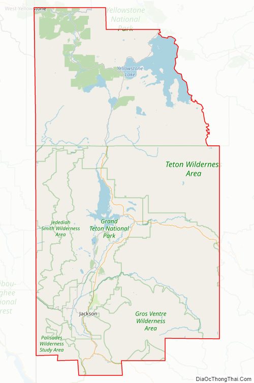
Teton County is a county in the U.S. state of Wyoming. As of the 2020 United States Census, the population was 23,331. Its county seat is Jackson. Its west boundary line is also the Wyoming state boundary shared with Idaho and the southern tip of Montana. Teton County is part of the Jackson, WY-ID Micropolitan Statistical Area. Teton County contains the Jackson Hole ski area, all of Grand Teton National Park, and 40.4% of Yellowstone National Park’s total area, including over 96.6% of its water area (largely in Yellowstone Lake).
Previously a staunchly Republican county, which produced Governor and U.S. Senator Clifford Hansen, Teton has become the most Democratic county in Wyoming, following a broader national trend of affluent and college-educated voters drifting towards the political party. In 2020, Joe Biden beat Donald Trump 67.10% to 29.58% in Teton, an overwhelming margin that was the most for a Democrat ever in the county.
| Name: | Teton County |
|---|---|
| FIPS code: | 56-039 |
| State: | Wyoming |
| Founded: | February 15, 1921 (authorized) 1922 (organized) |
| Named for: | Teton Range |
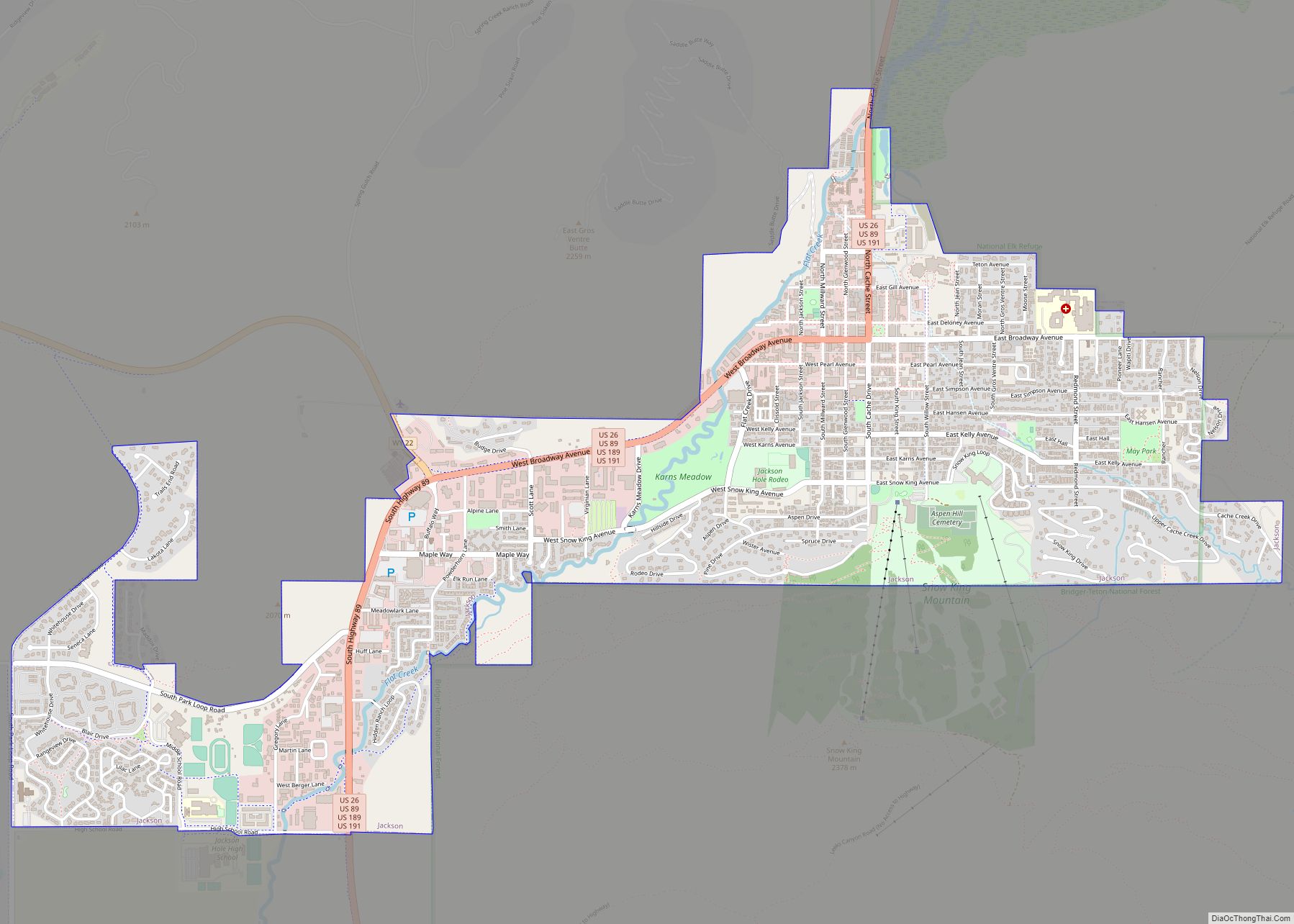
| Seat: | Jackson |
| Largest town: | Jackson |
| Total Area: | 4,216 sq mi (10,920 km²) |
| Land Area: | 3,995 sq mi (10,350 km²) |
| Total Population: | 23,331 |
| Population Density: | 5.5/sq mi (2.1/km²) |
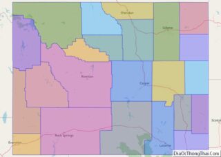
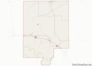
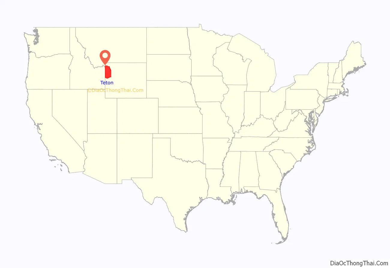
Teton County location map. Where is Teton County?
History
Teton County was created February 15, 1921, from a portion of Lincoln County. Its governing organization was completed in 1922. The county was named for the Teton Range. The county was created because the inhabitants lived too far away from Kemmerer, the county seat of Lincoln County. The creation of the county required a special act of the Wyoming Legislature, because the area was too poor and had too few people to qualify for county status under the normal requirements. Unlike the rest of the state, it has been one of the very few counties in Wyoming to vote for Democratic candidates in recent presidential elections.
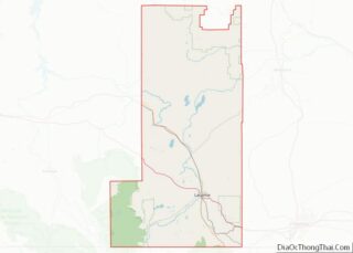
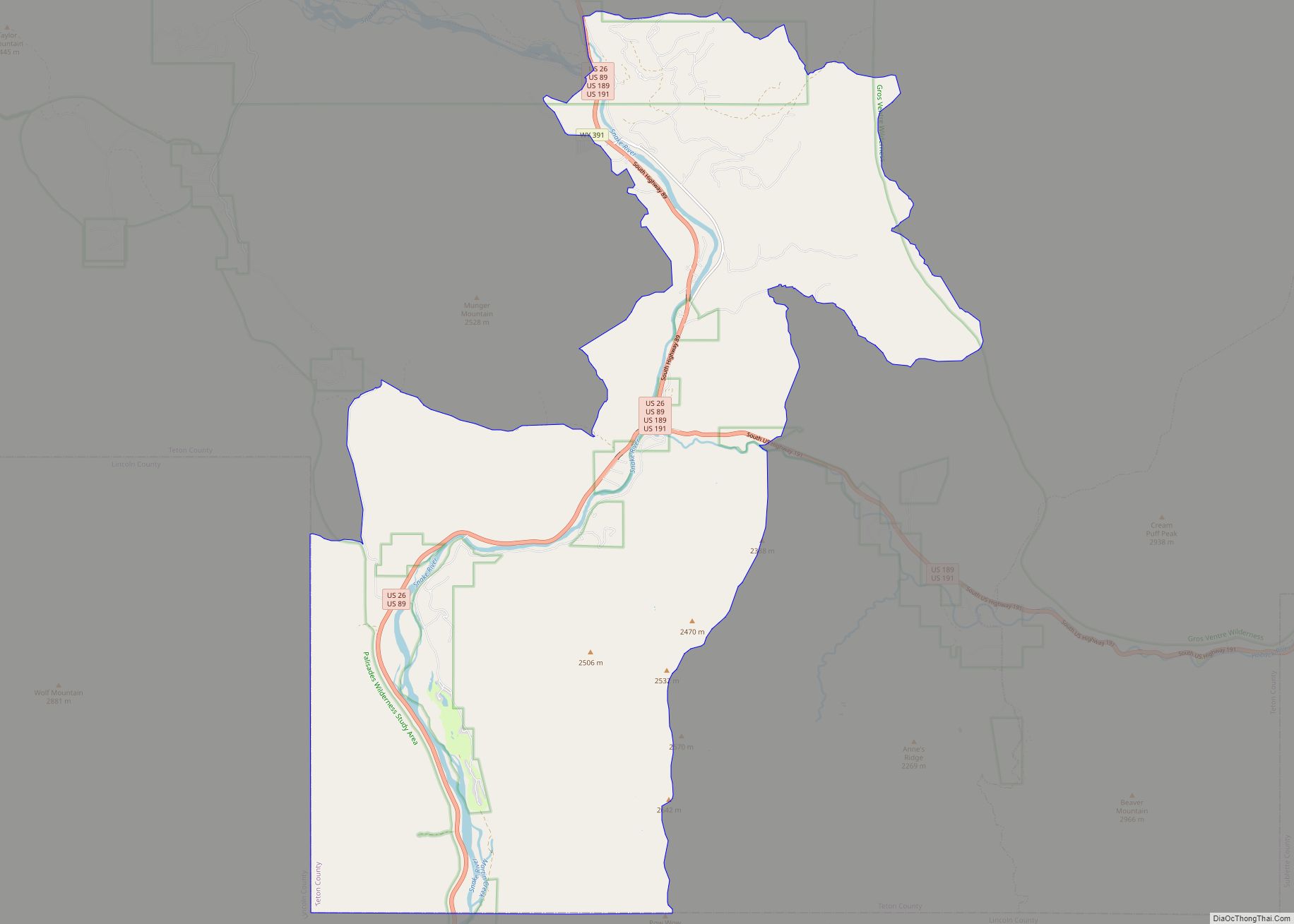
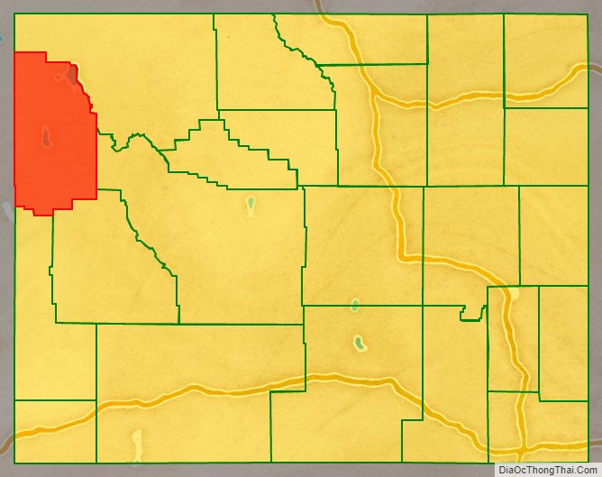
Teton County Road Map
Geography
According to the US Census Bureau, the county has a total area of 4,216 square miles (10,920 km), of which 3,995 square miles (10,350 km) is land and 221 square miles (570 km) (5.2%) is water.
Adjacent counties
- Park County – northeast
- Fremont County – east
- Sublette County – southeast
- Lincoln County – south
- Bonneville County, Idaho – southwest
- Teton County, Idaho – southwest
- Fremont County, Idaho – west
- Gallatin County, Montana – northwest
National protected areas
- Bridger-Teton National Forest (part)
- Caribou-Targhee National Forest (part)
- Grand Teton National Park
- John D. Rockefeller Memorial Parkway
- National Elk Refuge
- Shoshone National Forest (part)
- Yellowstone National Park (part)
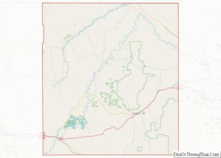
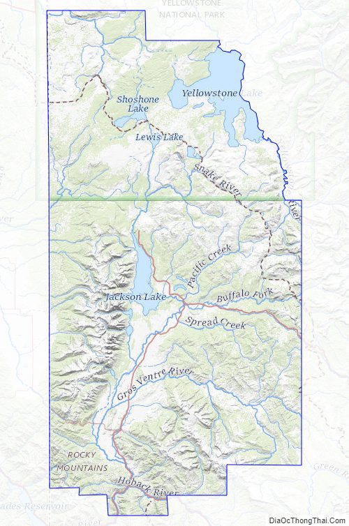
Teton County Topographic Map
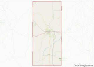
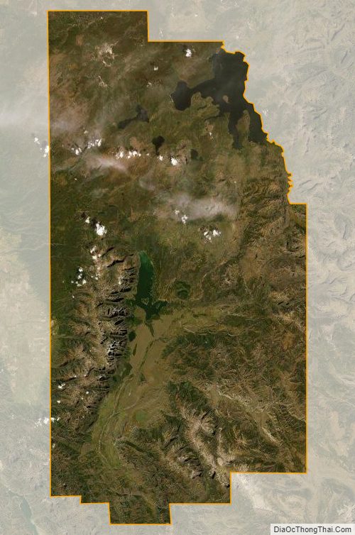
Teton County Satellite Map
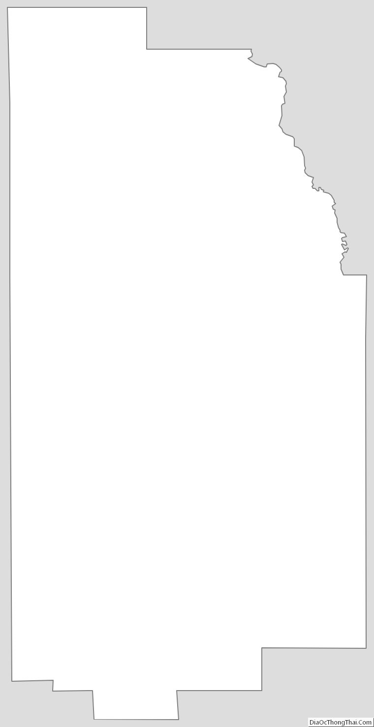
Teton County Outline Map