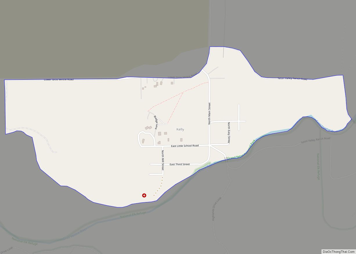
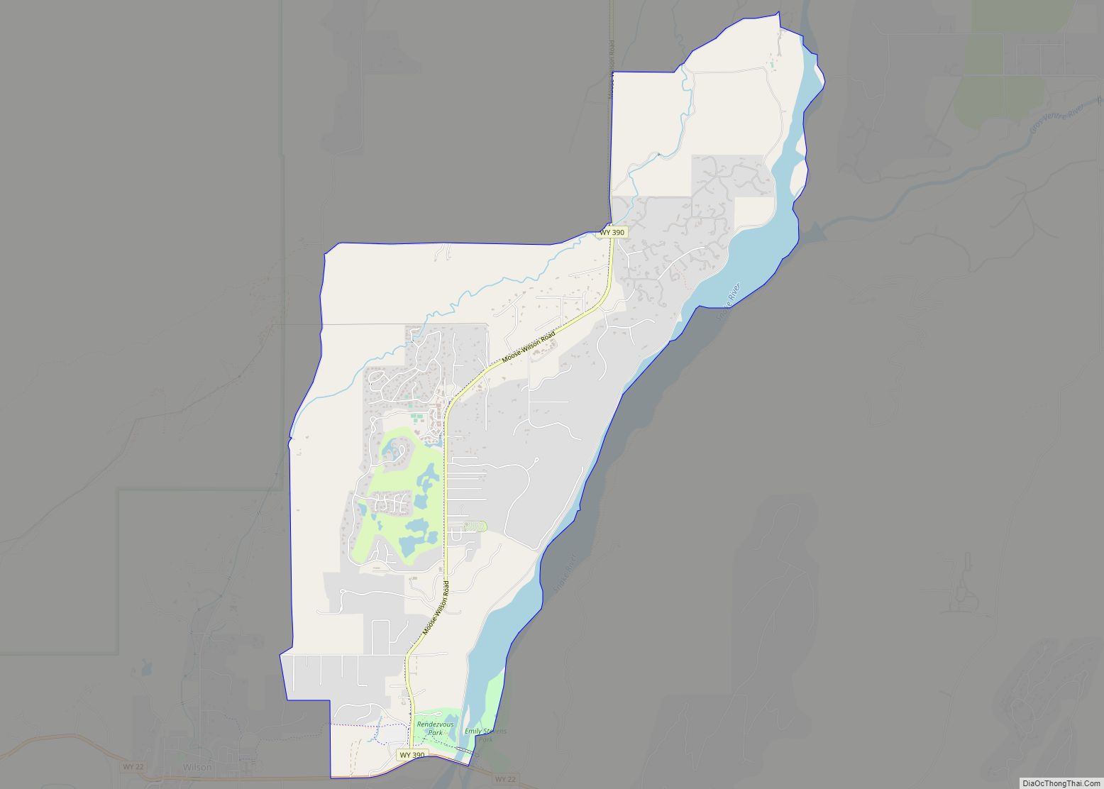
Jackson is a town in Teton County, Wyoming, United States. The population was 10,760 at the 2020 census, up from 9,577 in 2010. It is the largest town in Teton County and its county seat. Jackson is the principal town of the Jackson, WY-ID Micropolitan Statistical Area, which includes Teton County in Wyoming and Teton County in Idaho. The town, often mistakenly called Jackson Hole, derives its name from the valley in which it is located. Jackson is a popular tourist destination due to its proximity to the ski resorts Jackson Hole Mountain, Snow King Mountain, and Grand Targhee, as well as Grand Teton National Park and Yellowstone National Park.
| Name: | Jackson town |
|---|---|
| LSAD Code: | 43 |
| LSAD Description: | town (suffix) |
| State: | Wyoming |
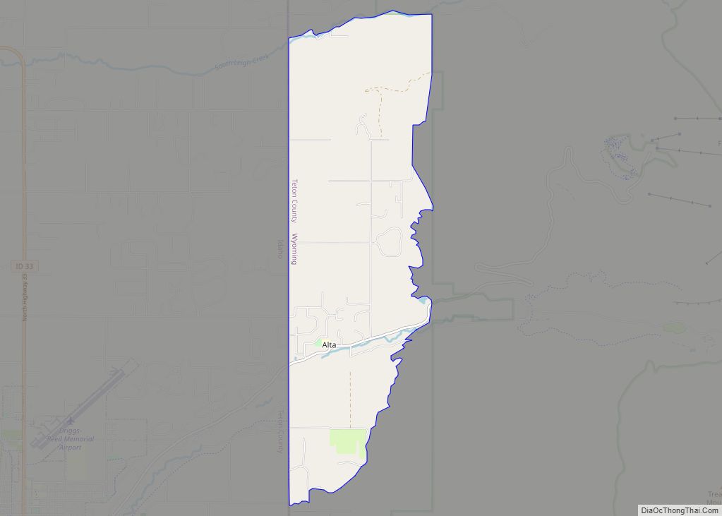
| County: | Teton County |
| Incorporated: | 1914 |
| Elevation: | 6,237 ft (1,901 m) |
| Land Area: | 2.96 sq mi (7.66 km²) |
| Water Area: | 0.03 sq mi (0.08 km²) |
| Population Density: | 3,598.67/sq mi (1,390.18/km²) |
| ZIP code: | 83002, 83001, 83014, 83025, 83013, 83012, 83414, 83011 |
| Area code: | 307 |
| FIPS code: | 5640120 |
| GNISfeature ID: | 1604404 |
| Website: | jacksonwy.gov |
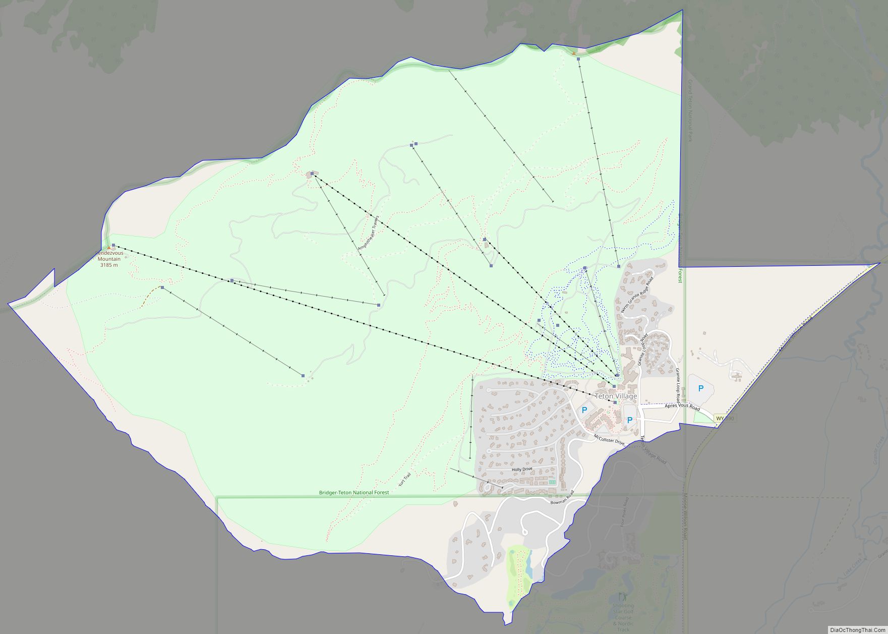
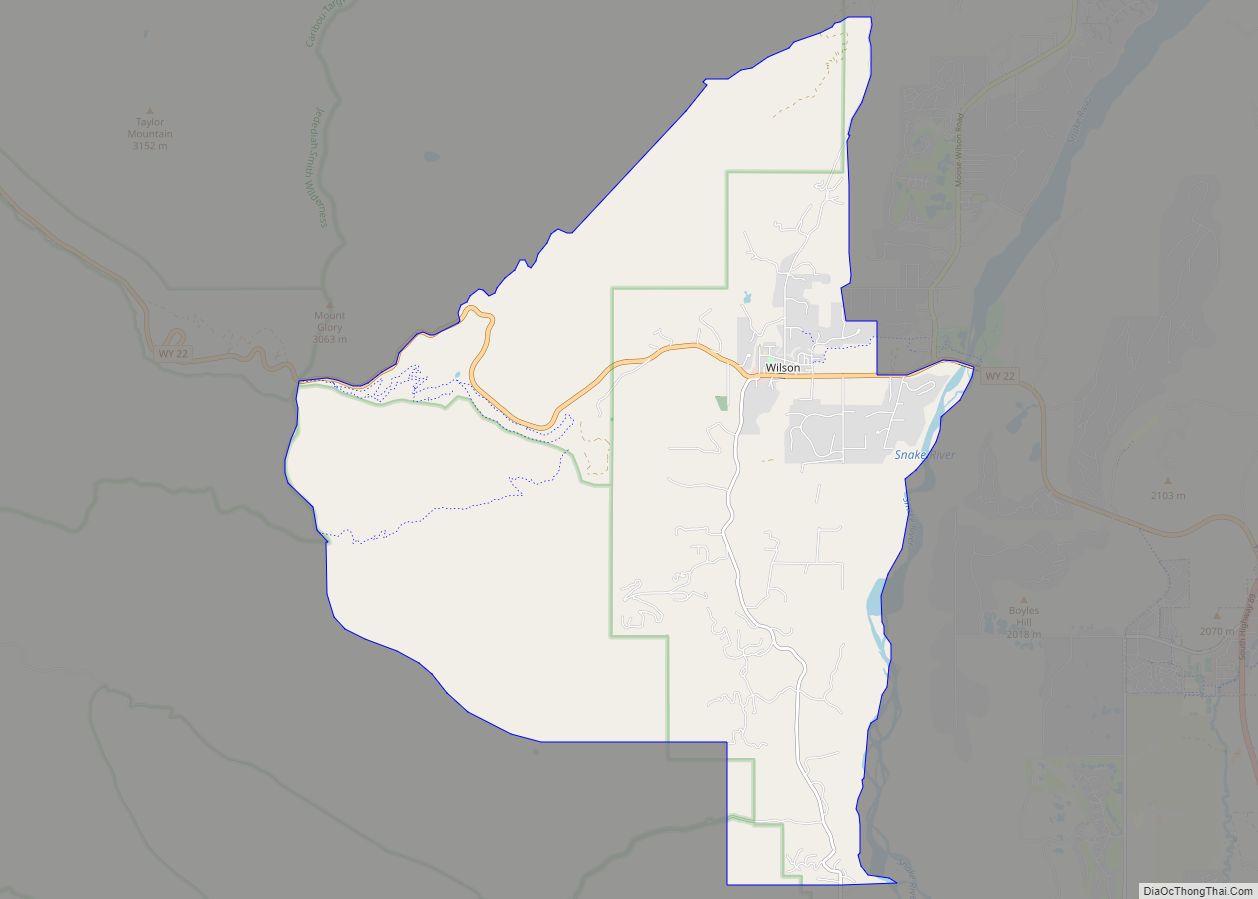
Online Interactive Map
Click on ![]() to view map in "full screen" mode.
to view map in "full screen" mode.
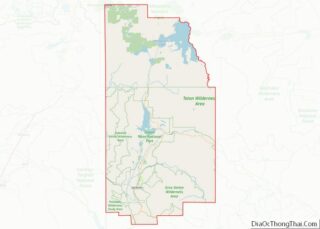
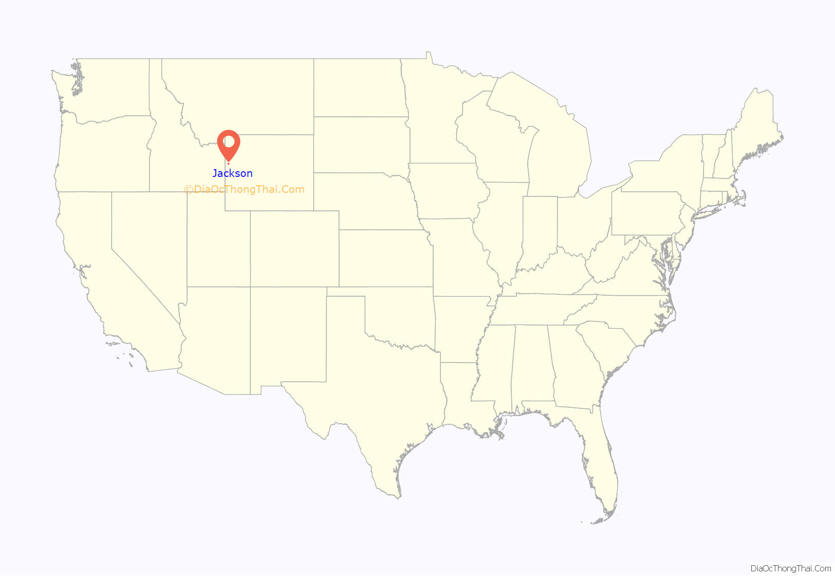
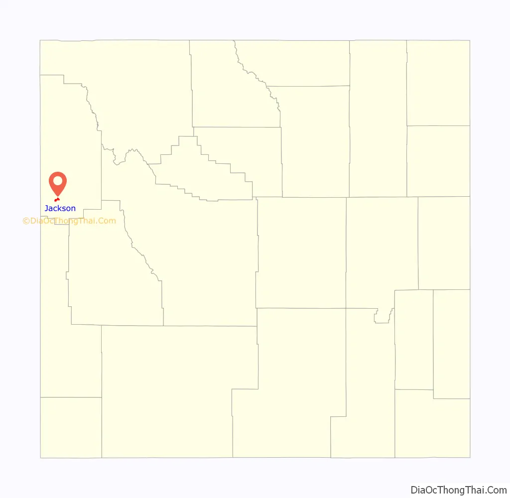
Jackson location map. Where is Jackson town?
History
Jackson was originally populated by Native American tribes including the Shoshoni, Crow, Blackfeet, Bannock, and Gros Ventre. In the early 1800s, the locality became a prime area for trappers and mountain men to travel through, one example being John Colter. After being discharged from the Corps of Discovery of the Lewis and Clark Expedition in 1806 at Fort Mandan, in present-day North Dakota, Colter visited Jackson Hole during the winter of 1807/1808. Among other mountain men who visited the valley include Jim Bridger, Jedediah Smith, and William Sublette, who are responsible for many of the names in the area. David Edward Jackson gave his name to the valley after a winter spent on the shores of Jackson Lake.
As part of the Hayden Expedition of 1871 and 1872, William Henry Jackson took the first photographs of the Teton Mountains and Yellowstone. His photographs, along with the sketches by Tom Moran, were important evidence to convince Congress to protect Yellowstone National Park. Yellowstone National Park became the first National Park in 1872. Grand Teton National Park was created in 1929 and greatly expanded in 1950 through the generous efforts of John D. Rockefeller, Jr., who purchased and then donated over 30,000 acres.
The Town of Jackson was named in 1894 and incorporated in 1914. Some of the early buildings remain and can be found throughout the area of the Town Square.
The Town of Jackson elected an all-woman city government (including town council and mayor, who in turn appointed women to town marshal, town clerk and treasurer) in 1920.
The first ski rope tow was built at Teton Pass in 1937 and Snow King Resort was established in 1930. Teton County now has three excellent ski areas including Jackson Hole Mountain Resort in Teton Village, Grand Targhee Ski and Summer Resort located on the West slope of the Tetons, and Snow King Resort.
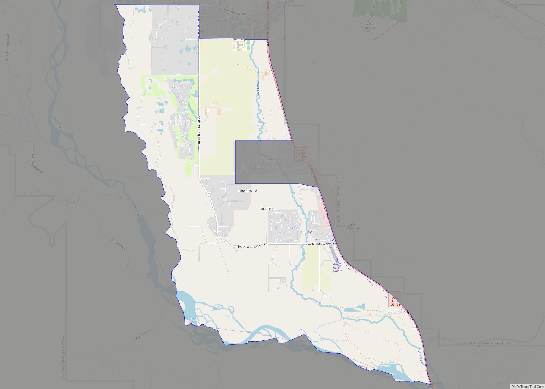
The Town of Jackson is the county seat of Teton County and the only incorporated municipality in the region. Less than 3% of land in Teton County is privately owned. 97% of the 2,697,000 acres in Teton County are federally or state owned/managed.
In 2009, the Town of Jackson was designated as a Preserve America Community. This designation recognizes that, as a community, the town protects and celebrates its heritage, uses historic assets for economic development and encourages people to experience and appreciate local historic resources.
In September 2016, the town went viral from an ongoing live stream on YouTube consisting of various views of the town, especially a webcam angled on the town square. Notable interests were the abundance of red trucks in the streets and a sheriff performing the dab in front of the live webcam. To date, the webcam is still operational.
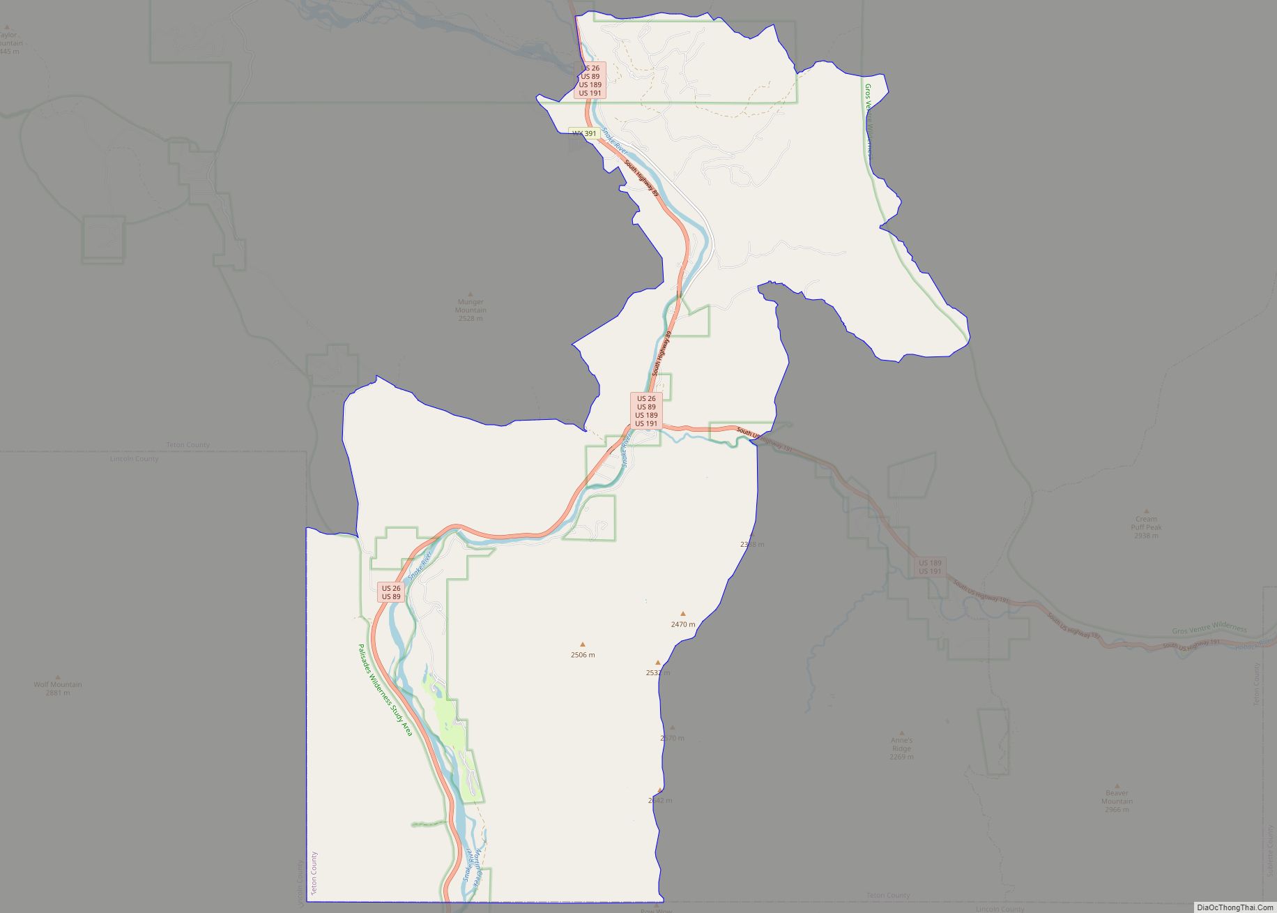
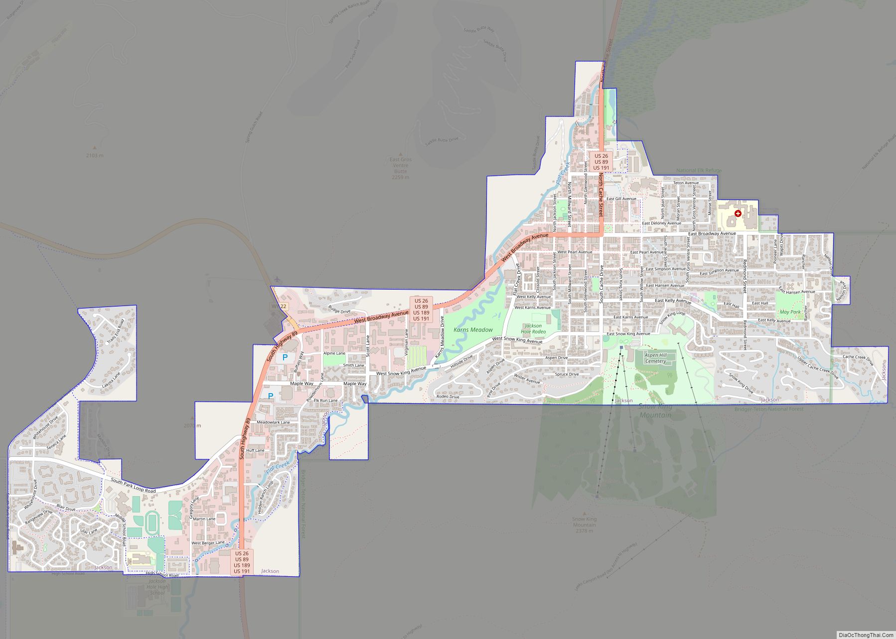
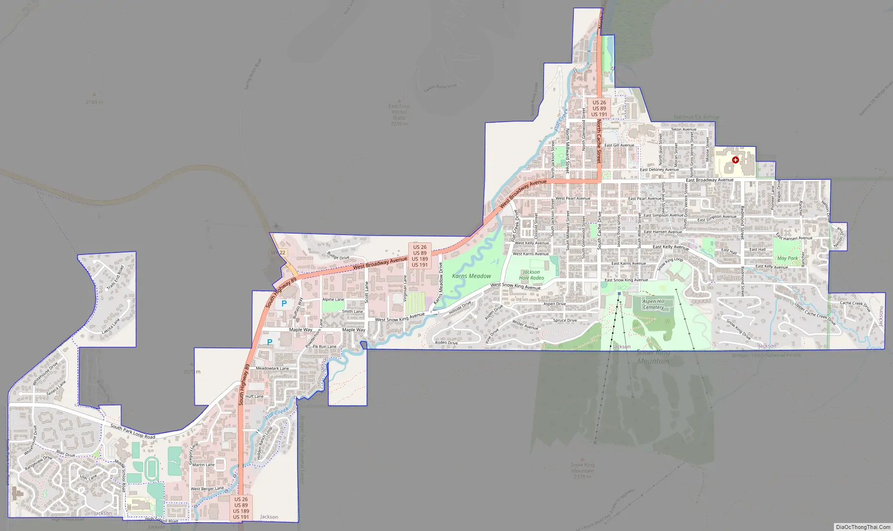
Jackson Road Map
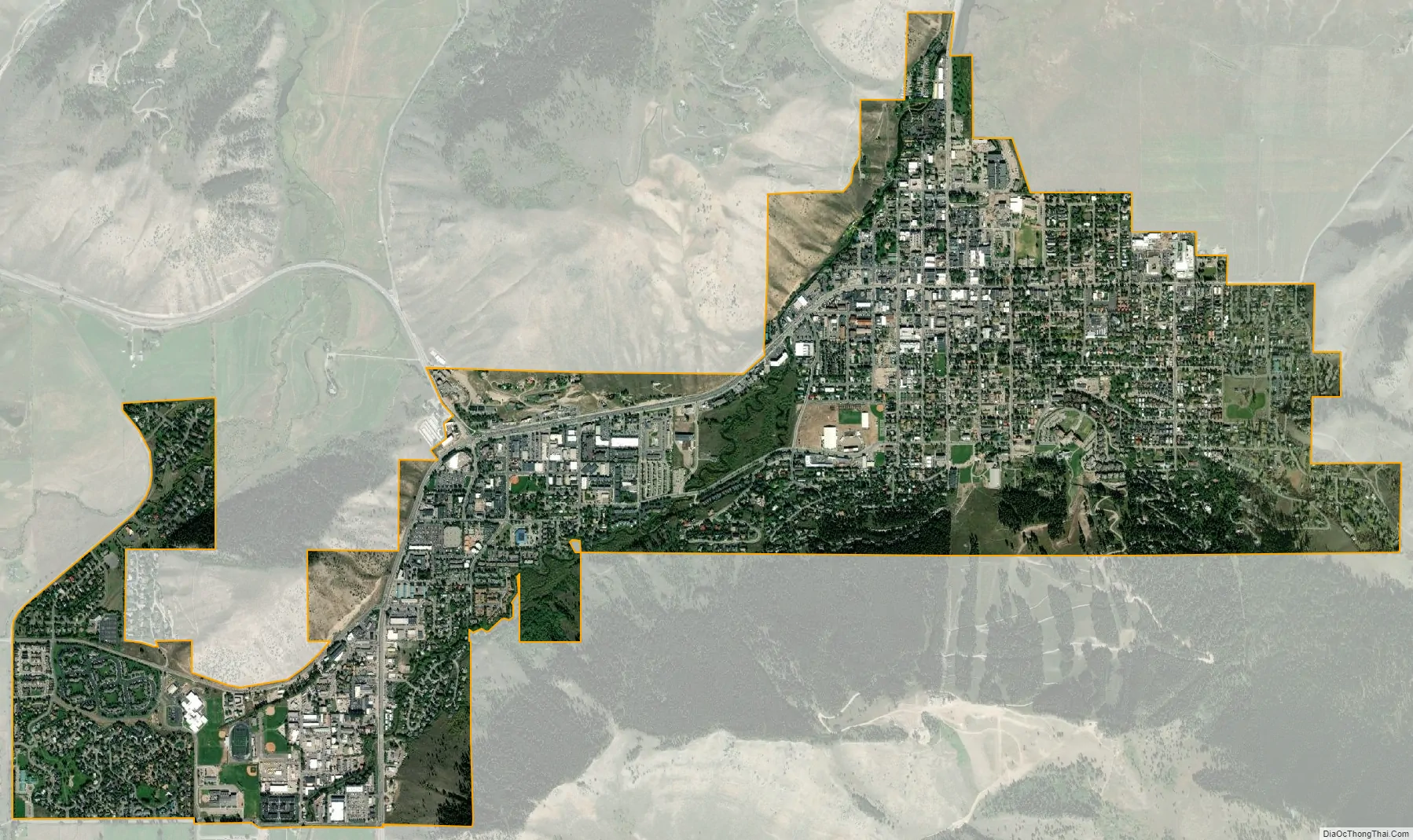
Jackson city Satellite Map
Geography
Jackson is located at 43°28′31″N 110°46′9″W / 43.47528°N 110.76917°W / 43.47528; -110.76917 (43.475, −110.769), at an elevation of 6,237 feet (1,901 m) above sea level. According to the United States Census Bureau, the town has a total area of 2.95 square miles (7.64 km), of which 2.91 square miles (7.54 km) is land and 0.04 square miles (0.10 km) is water.
Jackson is surrounded by the Teton and Gros Ventre mountain ranges. The Teton Range is commonly associated with Jackson Hole and is a popular sightseeing attraction for many visitors. The Gros Ventre Range, by contrast, is geologically older than the Tetons and has a much broader width, which encompasses huge expanses of wilderness and is not as easily accessible.
Soils at Jackson Hole are mostly dark, excessively drained, moderately alkaline gravelly loam of the Greyback series.
Flat Creek, a tributary of the Snake River, runs through the town.
Climate
Jackson experiences a humid continental climate (Köppen Dfb), with warm summers and very cold winters. Due to its location in a very narrow river valley, Jackson and the rest of the Snake headwaters experience a unique microclimate that gets considerably more precipitation – much of it snow – than the majority of Wyoming and has higher humidity during much of the year. Its elevation is also responsible for extreme differences between day and night temperatures, which makes the climate very close to being classified as subarctic (Köppen Dfc). Extreme temperatures range from −52 °F (−47 °C) on December 20, 1924, to 101 °F (38 °C) on July 17, 1934 and July 20, 1934, and on average 236.0 mornings fall below freezing and 34.7 of these below 0 °F (−18 °C); the 1991 to 2020 average window for subzero Fahrenheit temperatures is from November 22 to March 3, while the window for freezing temperature is from August 22 to July 5, but freezing temperature have been recorded on every single day of the year except for July 25.
Snowfall averages 78.2 inches or 1.99 meters, but the highest monthly total has been 56.0 inches (1.42 m) in January 1969, and the most in one season being 153.3 inches (3.89 m) between July 1966 and June 1967.
See also
Map of Wyoming State and its subdivision: Map of other states:- Alabama
- Alaska
- Arizona
- Arkansas
- California
- Colorado
- Connecticut
- Delaware
- District of Columbia
- Florida
- Georgia
- Hawaii
- Idaho
- Illinois
- Indiana
- Iowa
- Kansas
- Kentucky
- Louisiana
- Maine
- Maryland
- Massachusetts
- Michigan
- Minnesota
- Mississippi
- Missouri
- Montana
- Nebraska
- Nevada
- New Hampshire
- New Jersey
- New Mexico
- New York
- North Carolina
- North Dakota
- Ohio
- Oklahoma
- Oregon
- Pennsylvania
- Rhode Island
- South Carolina
- South Dakota
- Tennessee
- Texas
- Utah
- Vermont
- Virginia
- Washington
- West Virginia
- Wisconsin
- Wyoming