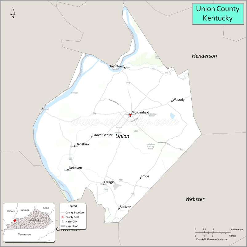
Union County is a county in the U.S. state of Kentucky. As of the 2020 United States census, the population was 13,668. Its county seat is Morganfield. The county was created effective January 15, 1811.
The county is located on the left (east) bank of the Ohio River opposite its confluence with the Wabash River. Union County, along with neighboring Posey County, Indiana, and Gallatin County, Illinois, form the tri-point of the Illinois-Indiana-Kentucky Tri-State Area.
| Name: | Union County |
|---|---|
| FIPS code: | 21-225 |
| State: | Kentucky |
| Founded: | January 15, 1811 |
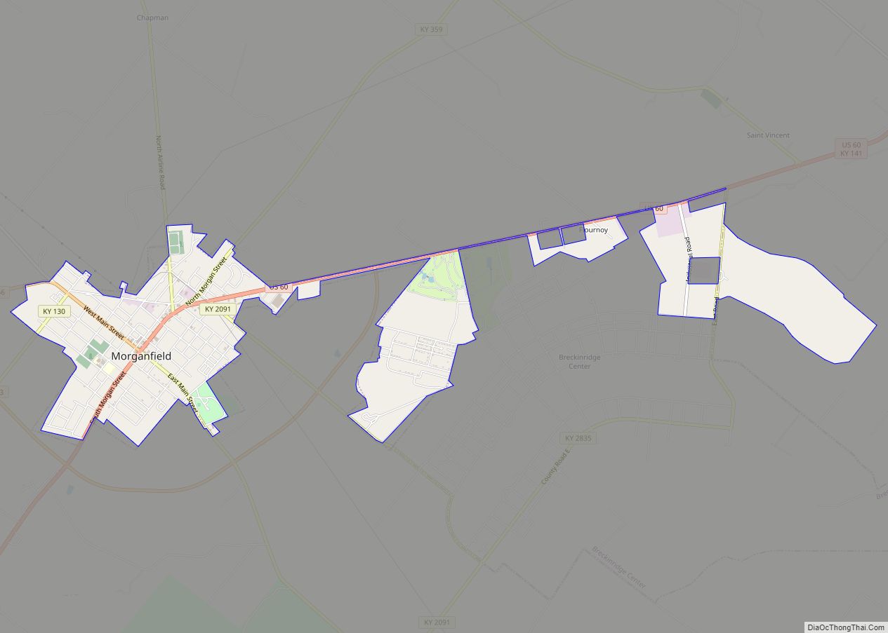
| Seat: | Morganfield |
| Largest city: | Morganfield |
| Total Area: | 363.38 sq mi (941.1 km²) |
| Land Area: | 342.85 sq mi (888.0 km²) |
| Total Population: | 13,668 |
| Population Density: | 38/sq mi (15/km²) |
| Time zone: | UTC−6 (Central) |
| Summer Time Zone (DST): | UTC−5 (CDT) |
| Website: | www.unioncountyky.org |
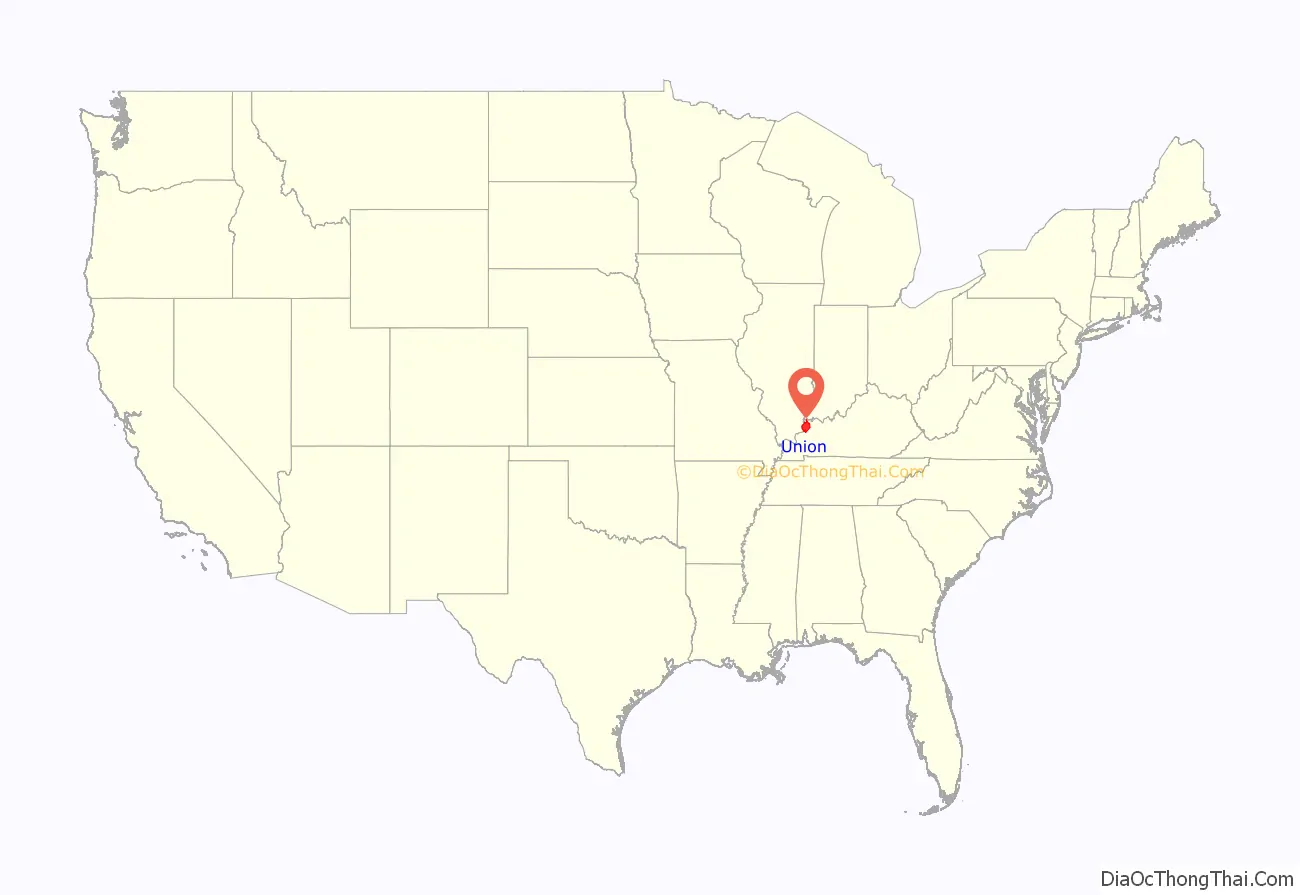
Union County location map. Where is Union County?
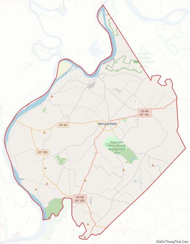
Union County Road Map
Geography
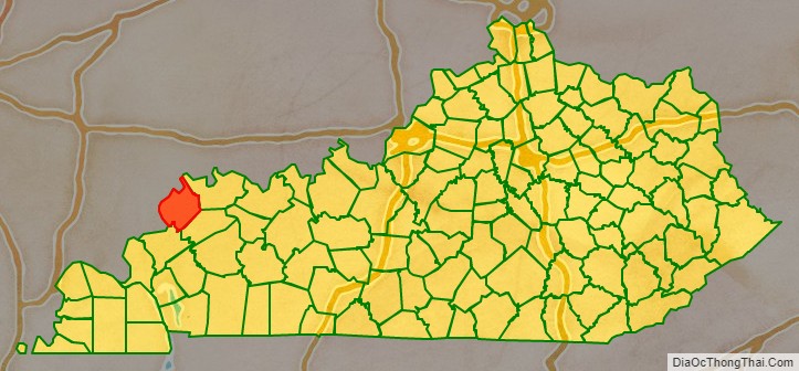
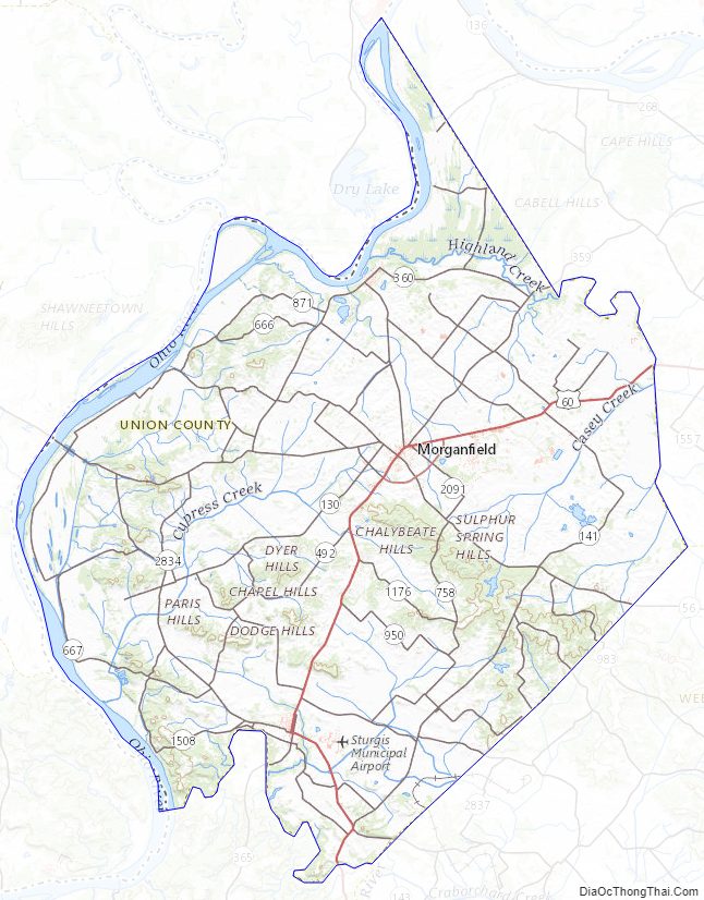
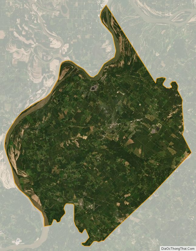
Union County lies on the northern border of Kentucky; its northwestern border is formed by the meanders of the Ohio River, abutting the states of Illinois and Indiana. The county terrain consists of frequent low wooded hills among the level areas, which are devoted to agriculture. Its highest point (673 feet (205 meters) ASL) is a rise in the Chalybeate Hills, in the Higginson-Henry Wildlife Management Area.
The John T. Myers Locks and Dam, authorized and constructed as Uniontown Locks and Dam, is located 3.5 miles (5.6 km) downstream from Uniontown, on the Ohio River, linking Union County and Posey County Indiana. Construction of the dam was begun in 1965 by the U.S. Army Corps of Engineers and completed in 1977. It was renamed on 12 October 1996, to honor retired Indiana congressman John T. Myers.
According to the US Census Bureau, the county has a total area of 363.38 square miles (941.1 km), of which 342.85 square miles (888.0 km) is land and 20.53 square miles (53.2 km) (5.6%) is water. Union County is part of the Western Coal Fields region of Kentucky.
Adjacent counties
- Posey County, Indiana − north
- Henderson County − northeast
- Webster County − southeast
- Crittenden County − south
- Hardin County, Illinois − west
- Gallatin County, Illinois −northwest
Protected areas
- Higginson-Henry Wildlife Management Area (state)
- Moffit Lake Recreation Area (county)
Highways
- U.S. Route 60
- KY 56
- KY 109
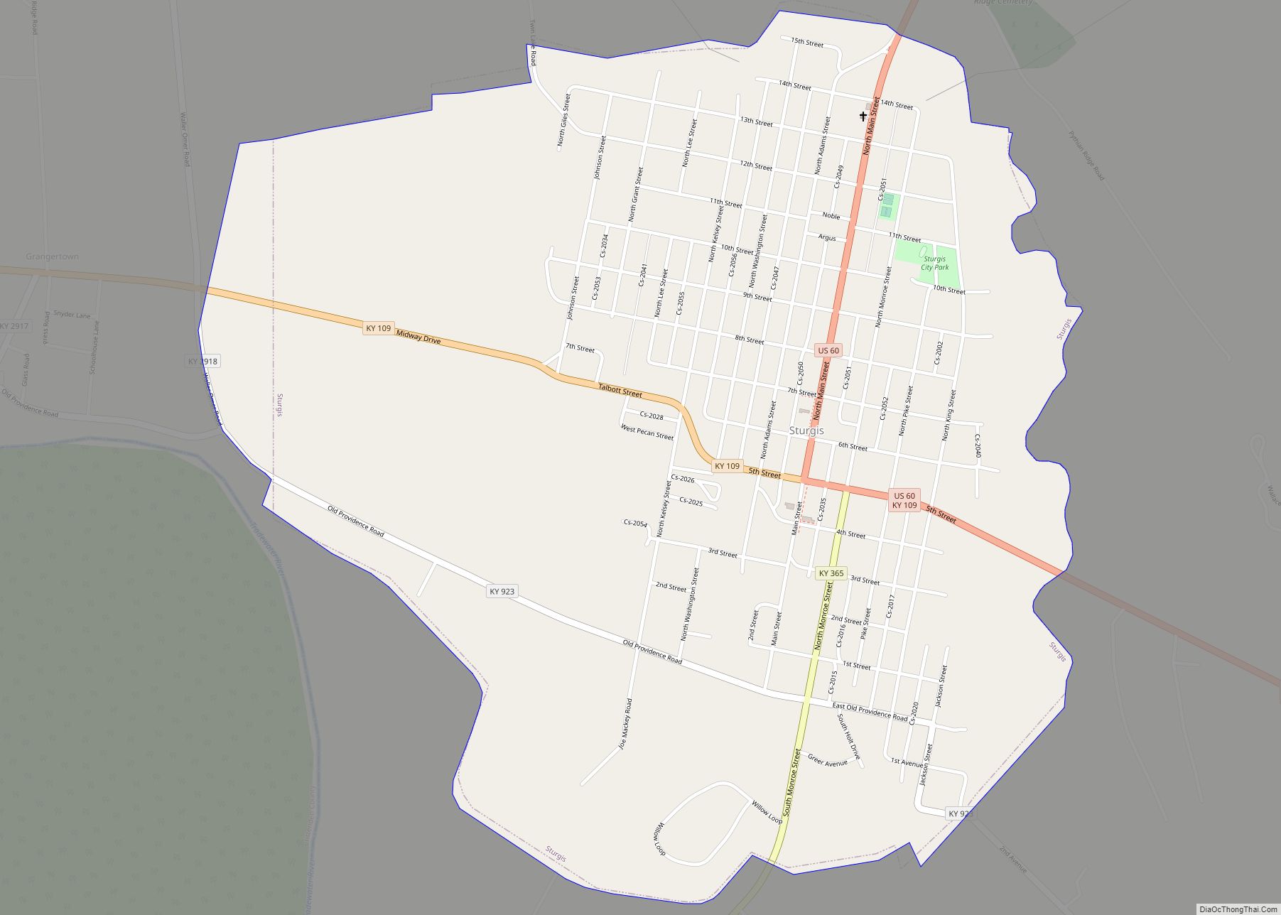
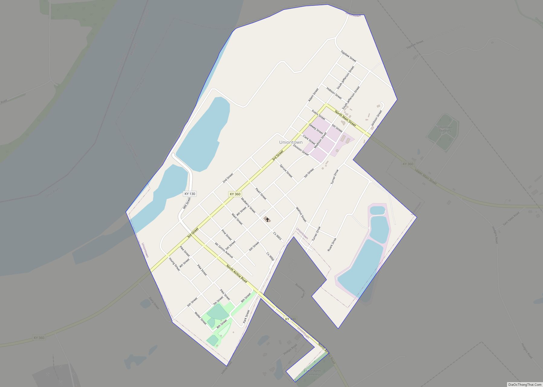
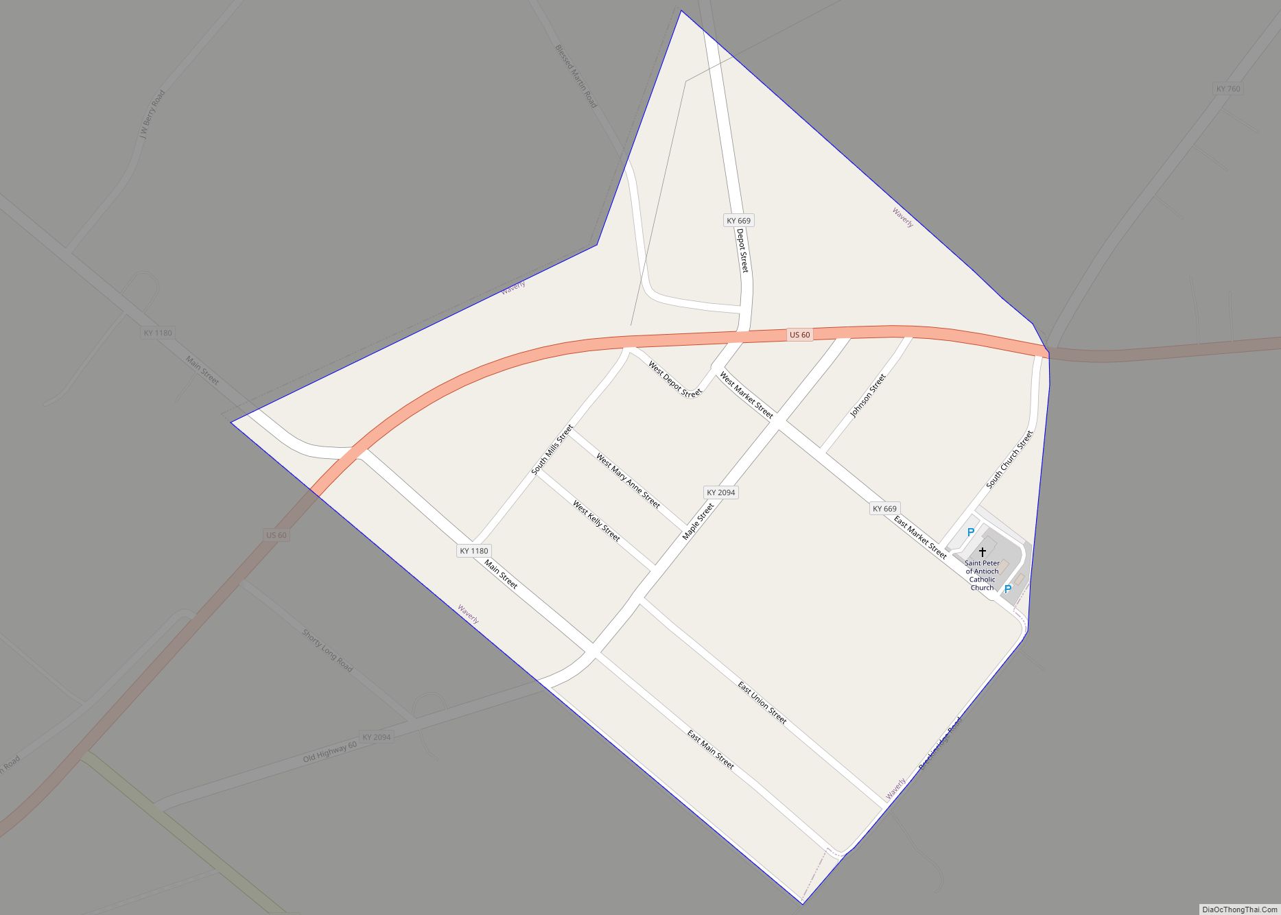
Cities
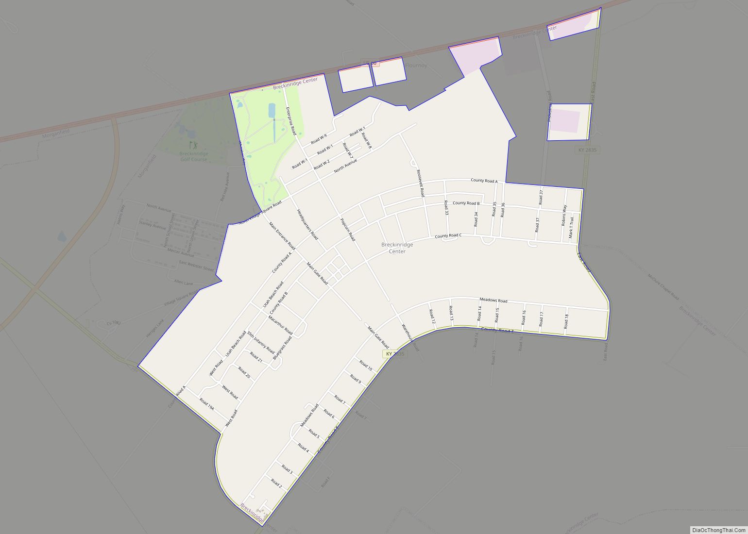
Census-designated places
Unincorporated communities
- Bordley
- Boxville
- Caseyville
- Cullen
- Curlew
- Dekoven
- Grangertown
- Grove Center
- Henshaw
- Pride
- Spring Grove
- Sullivan
- The Rocks
Union County Topographic Map
Union County Satellite Map
Union County Outline Map