Posey County is the southernmost, southwesternmost, and westernmost county in the U.S. state of Indiana. Its southern border is formed by the Ohio River, and its western border by the Wabash River, a tributary to the Ohio. As of 2010, the population was 25,910. The county seat is Mount Vernon.
Posey County is part of the Evansville, IN–KY Metropolitan Statistical Area. The Ports of Indiana-Mt. Vernon, on the Ohio River, is the seventh largest inland port complex in the nation. Mechanization of dock technology has altered the number of workers at the port, but Posey County is still the seventh-largest internal port in the United States, based on the tons of materials handled. Grain from the Midwest is among the products shipped.
| Name: | Posey County |
|---|---|
| FIPS code: | 18-129 |
| State: | Indiana |
| Founded: | 11 November 1814 |
| Named for: | Thomas Posey |
| Seat: | Mount Vernon |
| Largest city: | Mount Vernon |
| Total Area: | 419.32 sq mi (1,086.0 km²) |
| Land Area: | 409.57 sq mi (1,060.8 km²) |
| Population Density: | 62.4/sq mi (24.1/km²) |
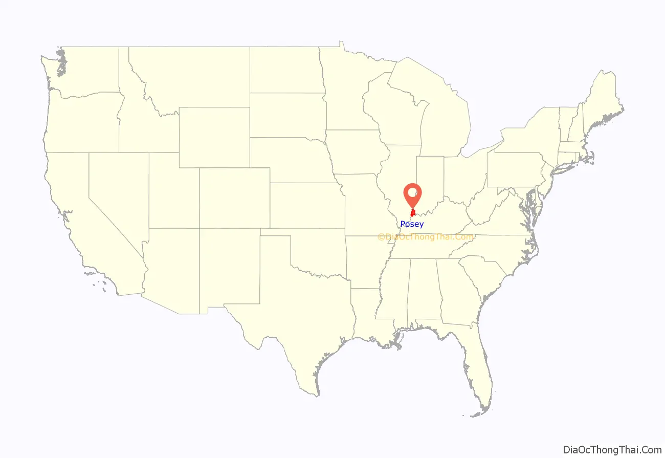
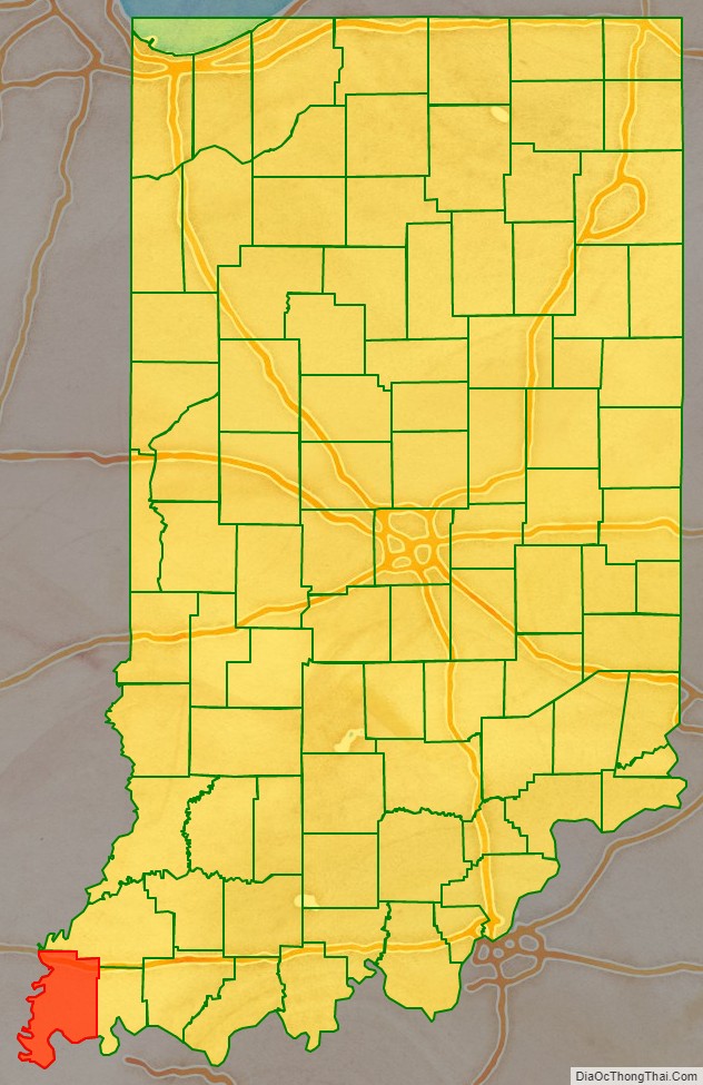
Posey County location map. Where is Posey County?
History
After the American Revolutionary War, Posey County was originally considered part of the Northwest Territory, organized in 1787 by the new United States. As part of the Indiana Territory, it was organized in November 1814 from Gibson and Warrick counties. It was named for Revolutionary War Gen. Thomas Posey, who was then serving as Governor of the Territory. Mount Vernon was designated as the county seat in 1825. Its port on the Ohio River continues to be integral to the economy of the state and county.
Like other parts of southern Ohio, Indiana and Illinois, Posey County was first settled by people from the Upper South, many of whom arrived via the Ohio River. Farming was the primary development at first. In the mid- to late 19th century, the county received many German immigrants. The river port had rougher areas of vice, and a higher population of single men, as was typical. African Americans were among the men who worked on ships and at the port.
Posey County was the site of the largest recorded lynching of African Americans in Indiana’s history. In October 1878, a white mob lynched seven Black men in the span of a few days. No one in the mob was prosecuted, and at each court session for the next three years, the prosecutor asked the judge to “set the case over to the next session”. A grand jury was called to investigate the mob action, but with an election pending for the prosecuting attorney, no one was ever indicted. Following years of research, Posey County judge Jim Redwine wrote a novel, Judge Lynch! (2008), based on the events. Redwine sometimes lectures on the riot, inviting his audience to imagine how they would have acted and stressing the injustice done to the African Americans who were denied the right to a fair trial.
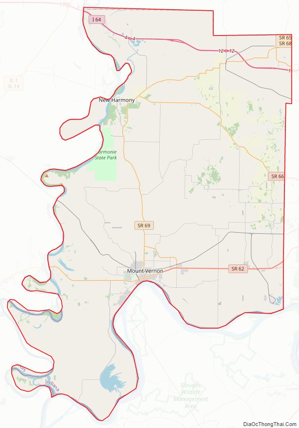
Posey County Road Map
Geography
The low rolling hills of SW Indiana are carved by drainages; the Black River flows southwestward through the county’s upper portion, discharging into the Wabash River north of New Harmony. Rush Creek drains the county’s central portion, flowing westward to discharge into the Wabash in Harmonie State Park. The area is largely cleared and devoted to agriculture or urban use, although the drainages and lowlands are still wooded or brush-filled.
According to the 2010 United States Census, the county has a total area of 419.32 square miles (1,086.0 km), of which 409.57 square miles (1,060.8 km) (or 97.67%) is land and 9.75 square miles (25.3 km) (or 2.33%) is water. The lowest point in the state of Indiana is located on the Ohio River in Posey County, where the Wabash River flows into it, and Posey County’s highest point (590 feet/180 meters ASL) is a small rise 1.6 miles (2.6 km) SSW from Saint Wendel, near the county’s southeast corner. Posey county lies at the tripoint of Indiana, Kentucky and Illinois.
Adjacent counties
- White County, Illinois (west and northwest across intermittent sections of water and land boundaries)
- Gallatin County, Illinois (southwest also over intermittent sections of water and land boundaries)
- Gibson County (north and northeast)
- Posey County
- Union County, Kentucky (south, with some land boundaries on Indiana side)
- Vanderburgh County (east)
- Henderson County, Kentucky (southeast also with some land boundaries on Indiana side)
Cities and towns
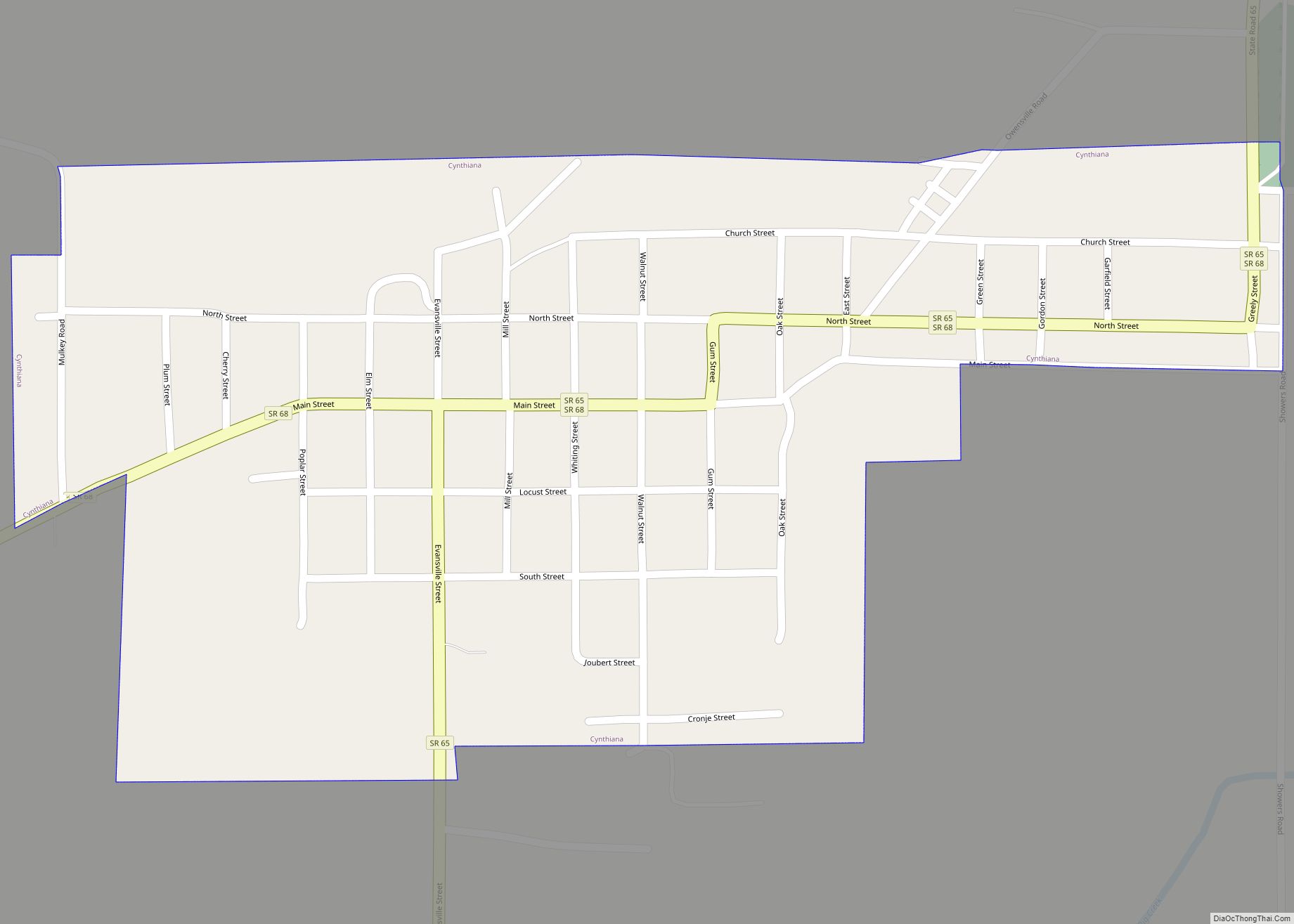
- Cynthiana – town
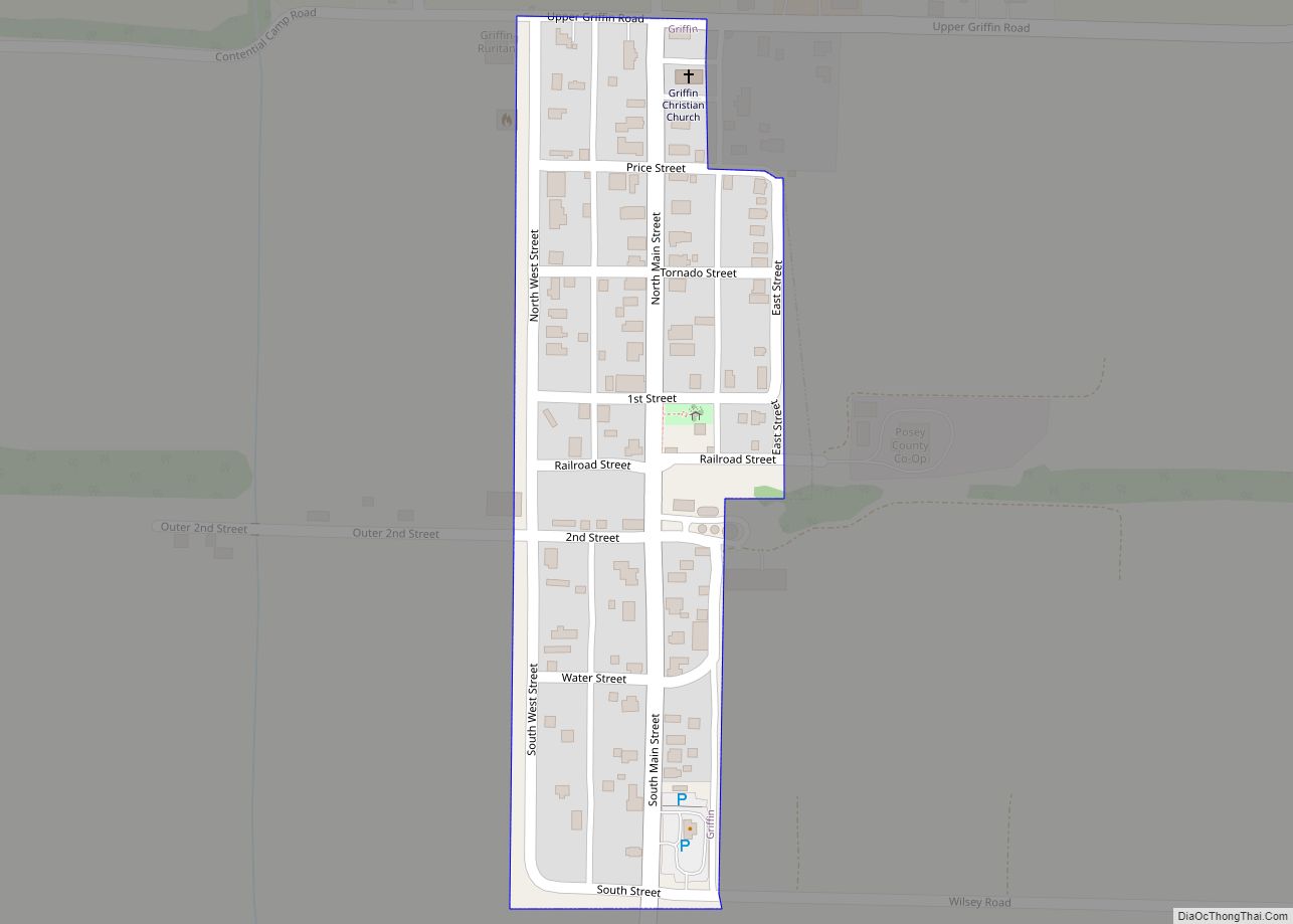
- Griffin – town
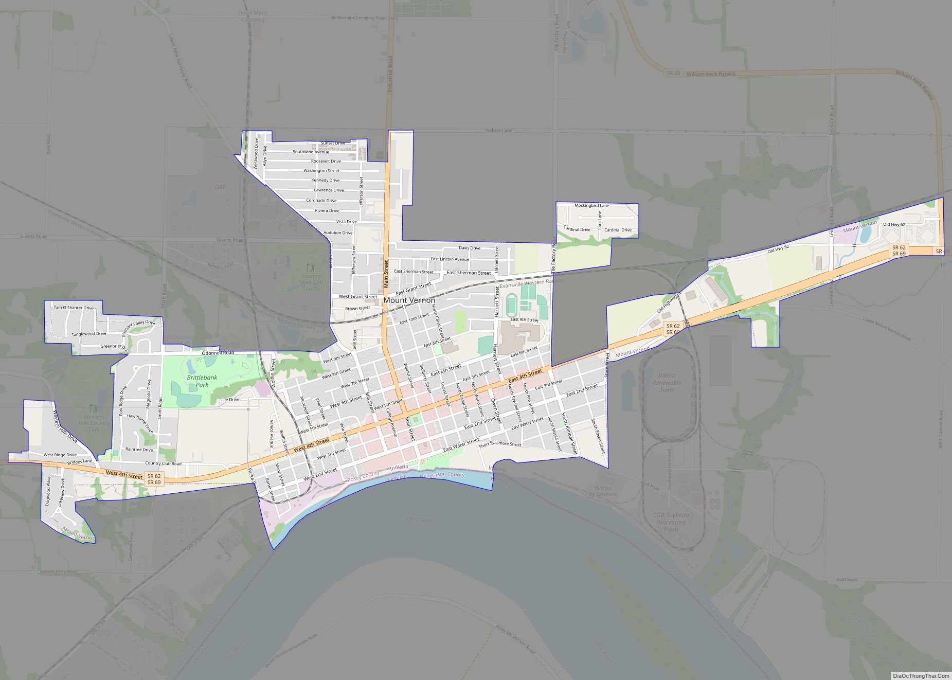
- Mount Vernon – city/county seat
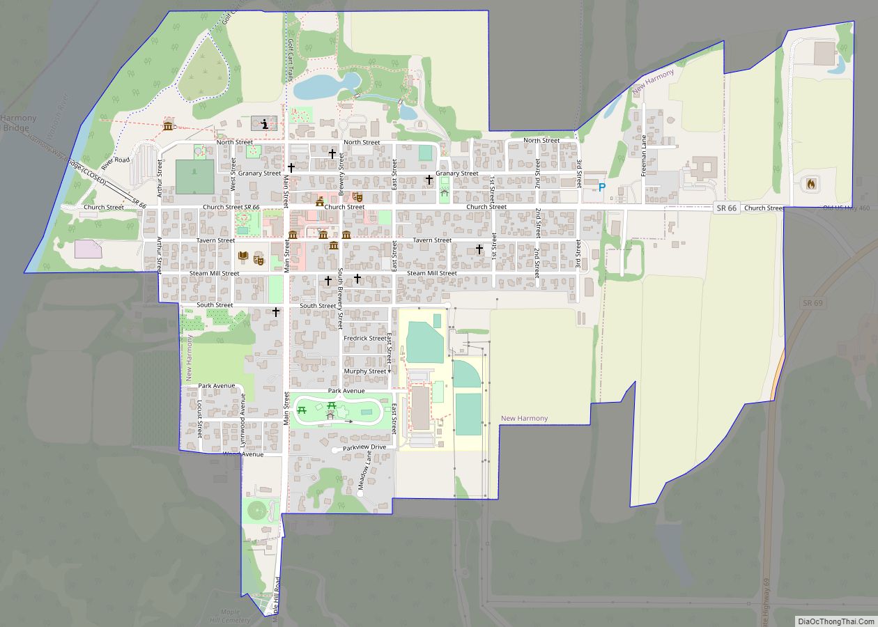
- New Harmony – town
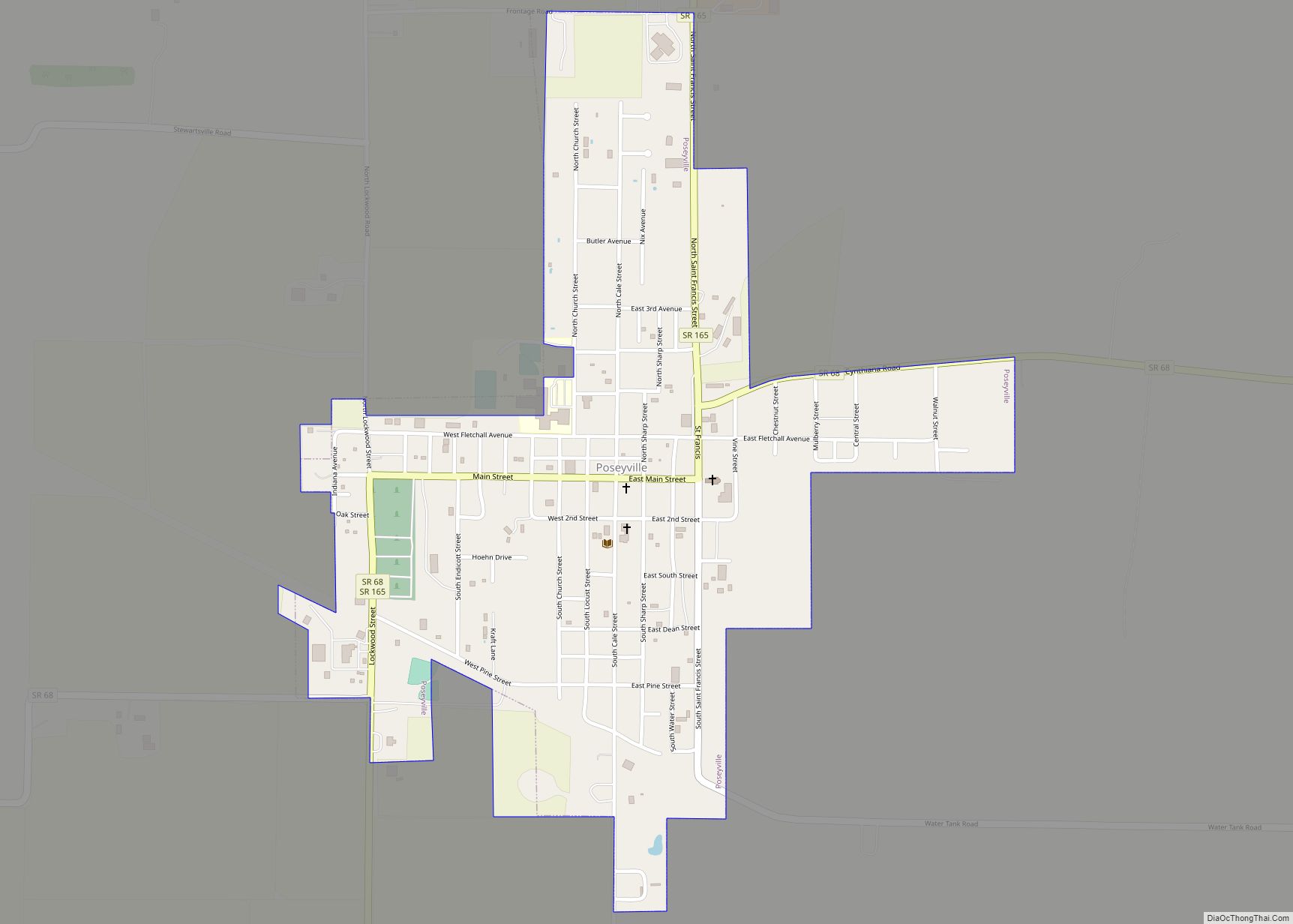
- Poseyville – town
Townships
- Bethel
- Black
- Center
- Harmony
- Lynn
- Marrs
- Point
- Robb
- Robinson
- Smith
Unincorporated places
- Barrett
- Blairsville
- Bufkin
- Caborn
- Dead Mans Crossing
- Erwin
- Farmersville
- Grafton
- Hepburn
- Heusler
- Hovey
- Lippe
- Marrs Center
- New Baltimore
- Oak Grove
- Oliver
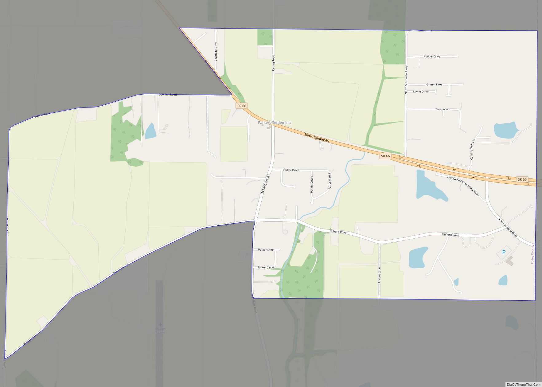
- Parkers Settlement – census-designated place
- Philip Station
- Prairie
- Rapture
- Saint Philip
- Saint Wendel
- Savah
- Solitude
- Springfield
- Stewartsville
- Upton
- Wadesville
- Welborn Switch
- West Franklin
Protected areas
- Harmonie State Park
- Wabash Lowlands Wetland Conservation Area
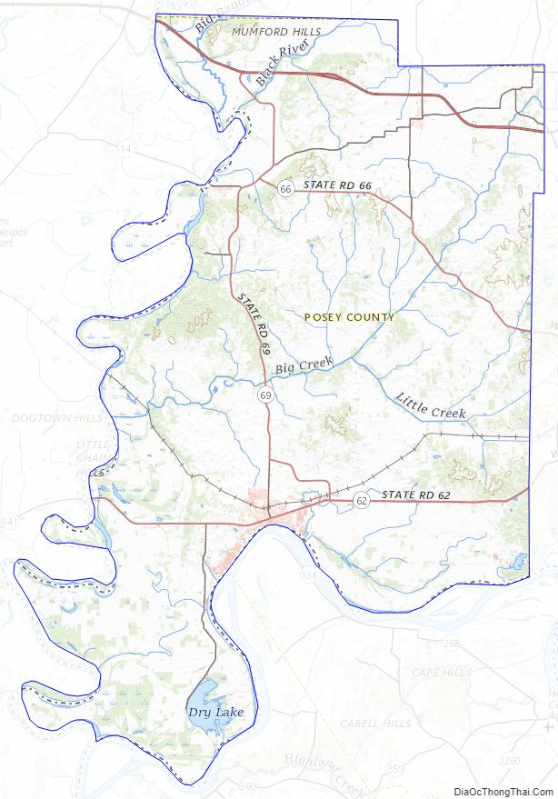
Posey County Topographic Map
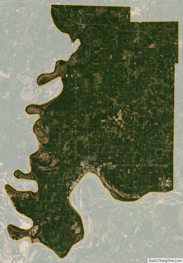
Posey County Satellite Map
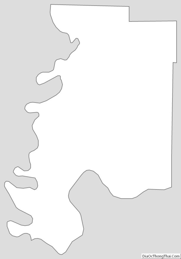
Posey County Outline Map