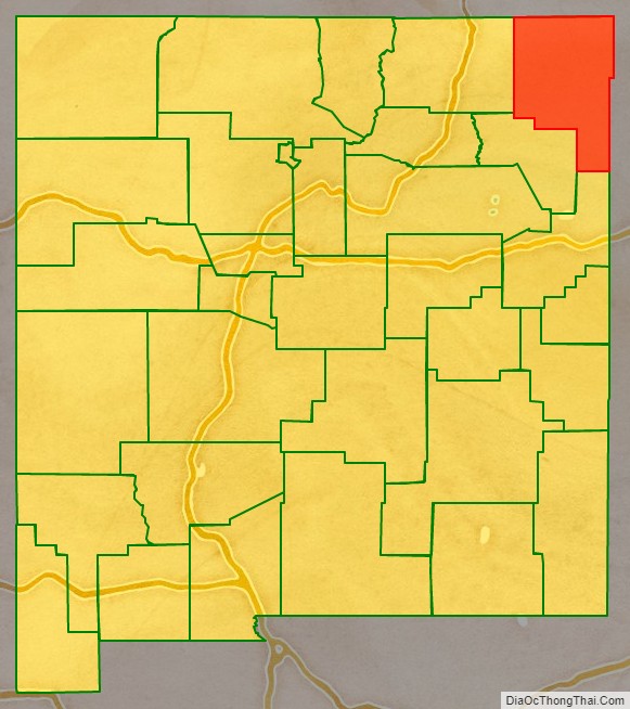
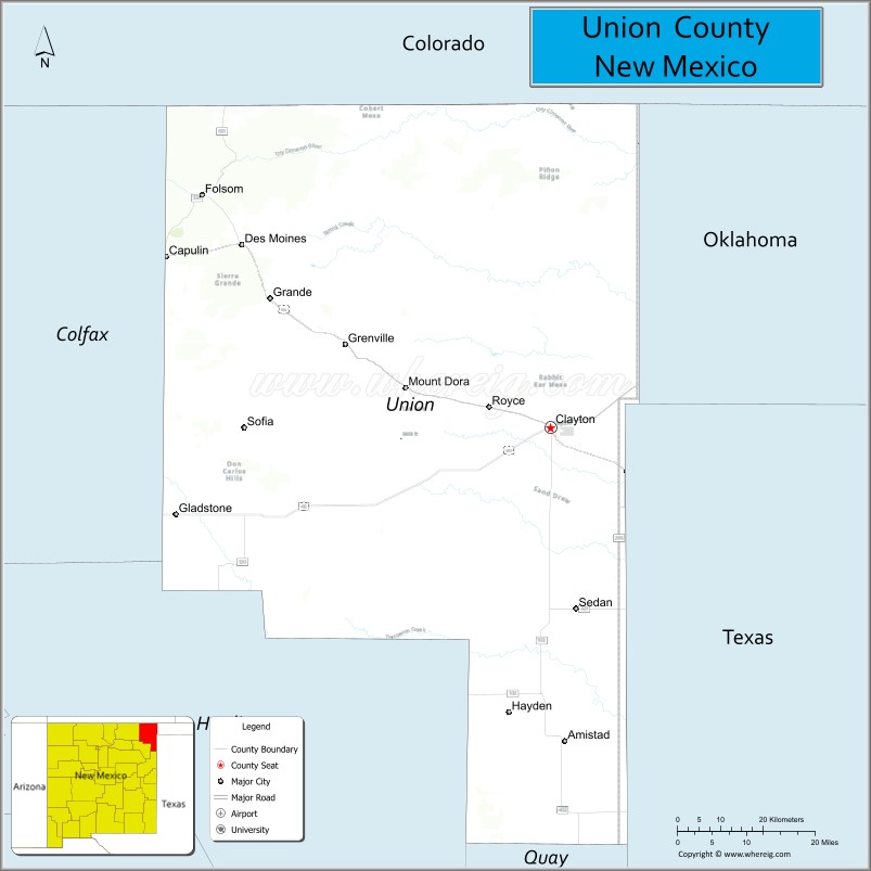
Union County (Spanish: Condado de la Unión) is the northeasternmost county in the U.S. state of New Mexico. As of the 2010 census, the population was 4,549, making it the fourth-least populous county in New Mexico. Its county seat is Clayton. The county was formed in 1894. Union County borders Colorado to the north, and Oklahoma and Texas to the east.
| Name: | Union County |
|---|---|
| FIPS code: | 35-059 |
| State: | New Mexico |
| Founded: | January 1, 1894 |
| Seat: | Clayton |
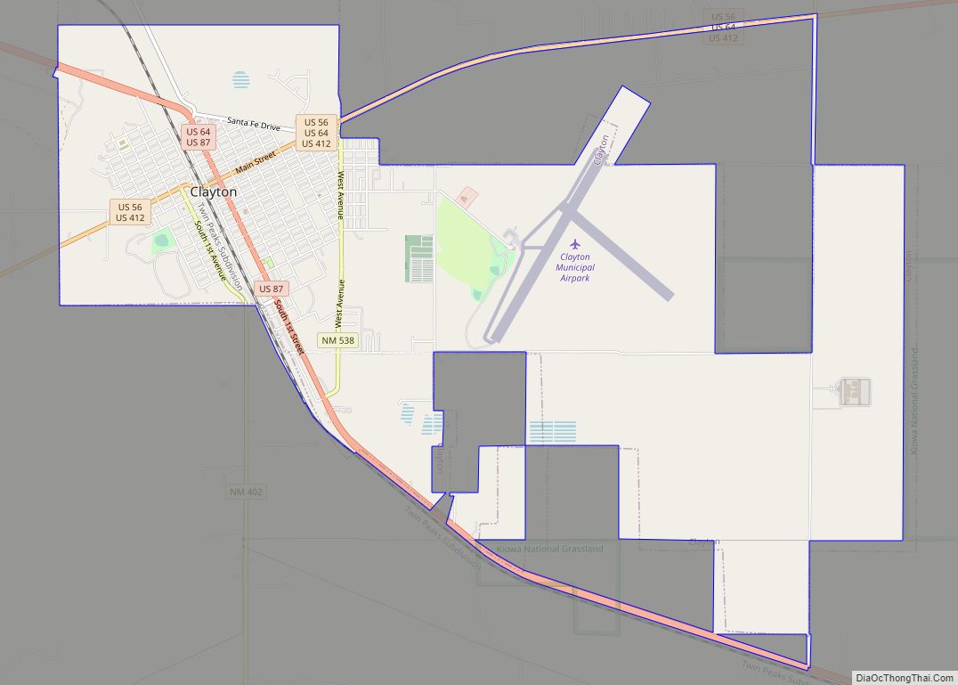
| Largest town: | Clayton |
| Total Area: | 3,831 sq mi (9,920 km²) |
| Land Area: | 3,824 sq mi (9,900 km²) |
| Total Population: | 4,107 |
| Population Density: | 1.2/sq mi (0.5/km²) |
| Time zone: | UTC−7 (Mountain) |
| Summer Time Zone (DST): | UTC−6 (MDT) |
| Website: | unionnm.us |
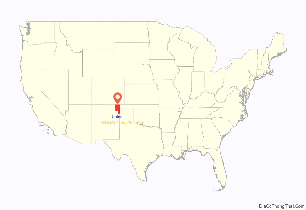
Union County location map. Where is Union County?
History
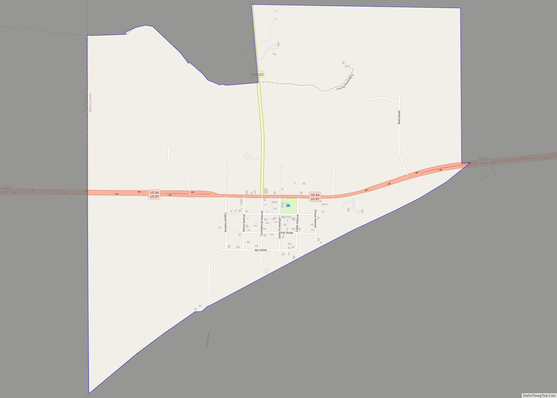
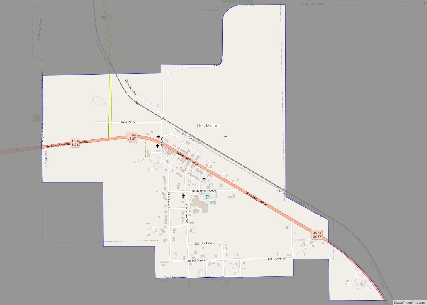
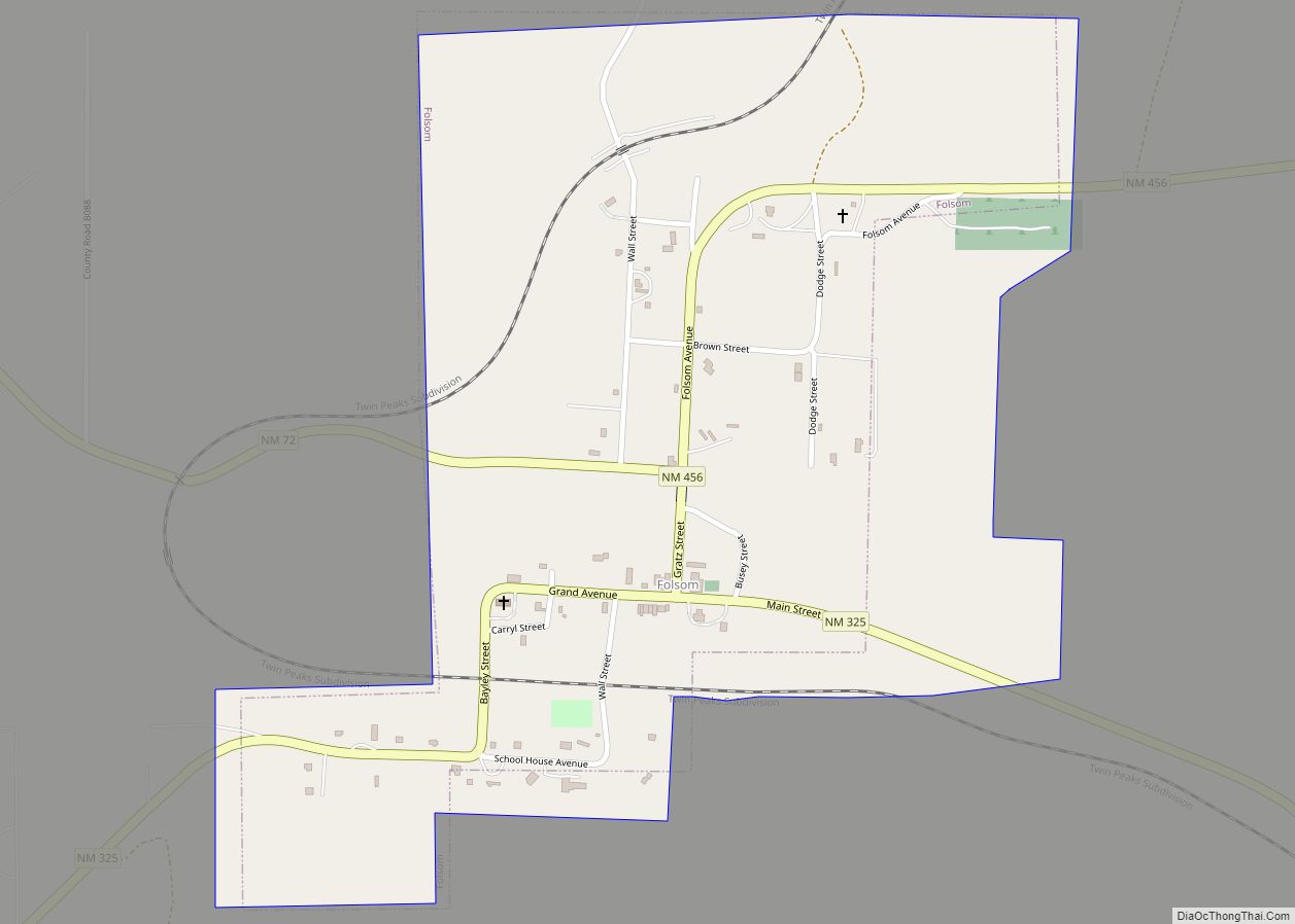
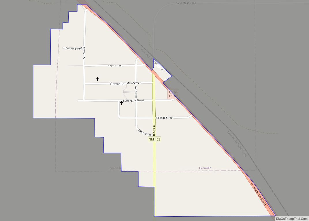
Union County, was created by an act of the territorial legislation in 1893 and was officially recognized on January 1, 1894, when the first slate of elected county officials received their oaths of office. The county is named “Union” because the citizens were united in their desire for the creation of a new county out of three existing New Mexico counties. Union County was subsequently “carved up” by the creation of additional counties, Quay in 1903 and Harding in 1920. At one time, Union County had a population of over 20,000. There were a number of bustling communities such as Amistad, Hayden, Sedan, Pasamonte, Gladstone, Mt Dora, Grenville, Des Moines, Folsom, and Dedman (now known as Capulin).
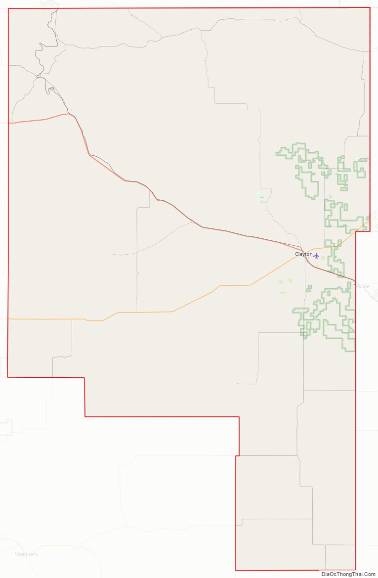
Union County Road Map
Geography
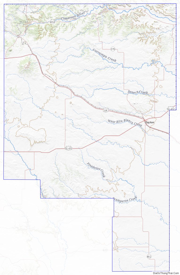
According to the U.S. Census Bureau, the county has a total area of 3,831 square miles (9,920 km), of which 3,824 square miles (9,900 km) is land and 7.1 square miles (18 km) (0.2%) is water.
Adjacent counties
- Las Animas County, Colorado (north)
- Baca County, Colorado (northeast)
- Cimarron County, Oklahoma (east/Central Time border)
- Dallam County, Texas (east/Central Time border)
- Hartley County, Texas (southeast/Central Time border)
- Quay County (south)
- Harding County (south)
- Colfax County (west)
Union County is one of the few counties in the U.S. to border counties from four different states. One of its neighbors is Cimarron County, Oklahoma, the only US county to border counties from five different states.
National protected areas
- Capulin Volcano National Monument
- Kiowa National Grassland (part)
Union County Topographic Map
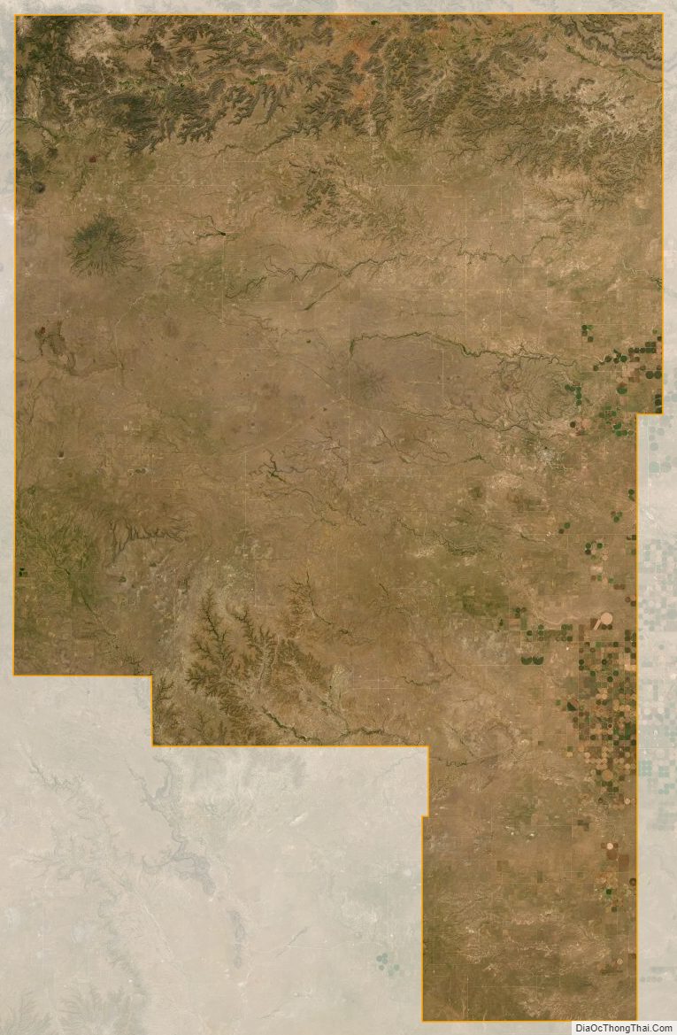
Union County Satellite Map
Union County Outline Map