Dallam County is the north-westernmost county in the U.S. state of Texas. As of the 2020 Census, its population was 7,115. Its county seat is Dalhart. The county was founded in 1876 and later organized in 1891. It is named for James Wilmer Dallam, a lawyer and newspaper publisher.
| Name: | Dallam County |
|---|---|
| FIPS code: | 48-111 |
| State: | Texas |
| Founded: | 1891 |
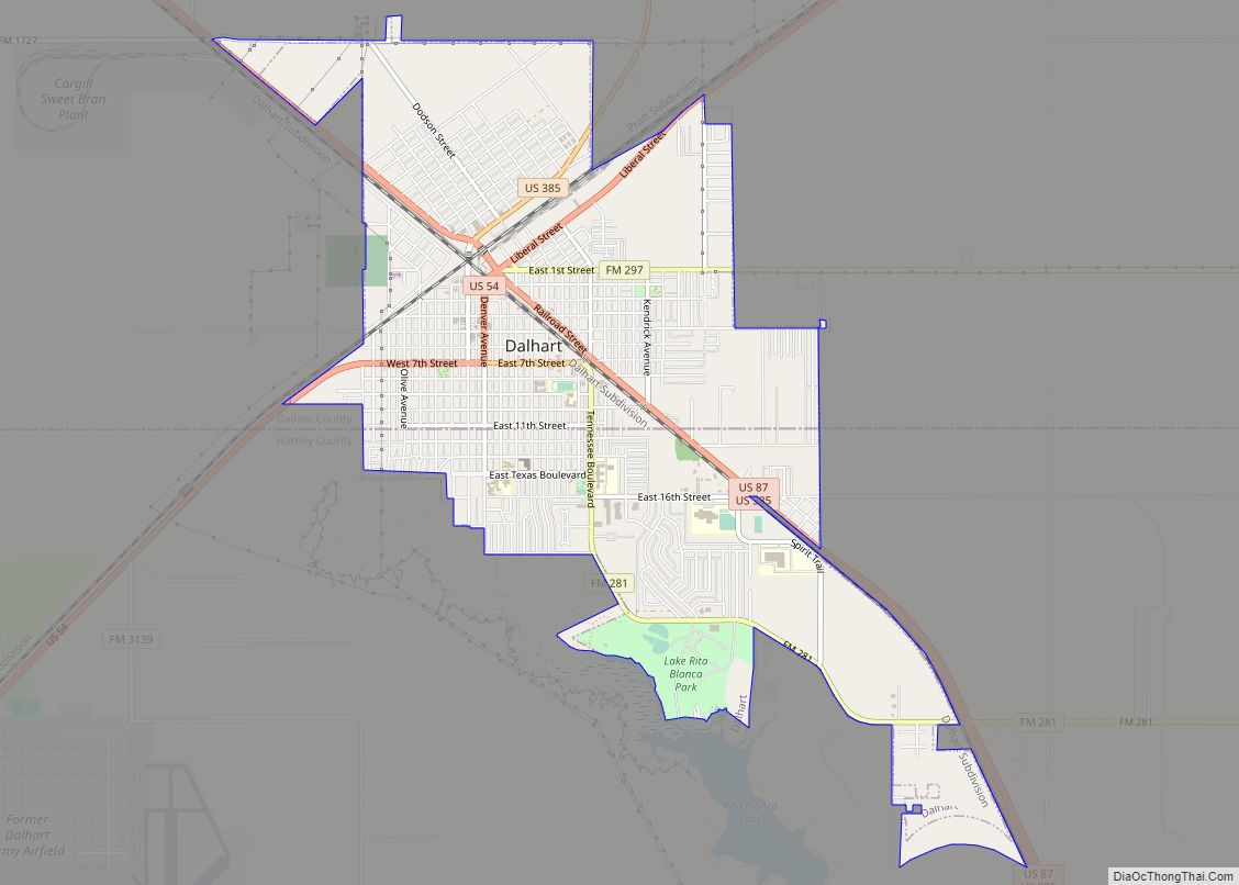
| Seat: | Dalhart |
| Largest city: | Dalhart |
| Total Area: | 1,505 sq mi (3,900 km²) |
| Land Area: | 1,503 sq mi (3,890 km²) |
| Total Population: | 7,115 |
| Population Density: | 4.7/sq mi (1.8/km²) |
| Time zone: | UTC−6 (Central) |
| Summer Time Zone (DST): | UTC−5 (CDT) |
| Website: | www.dallam.org |
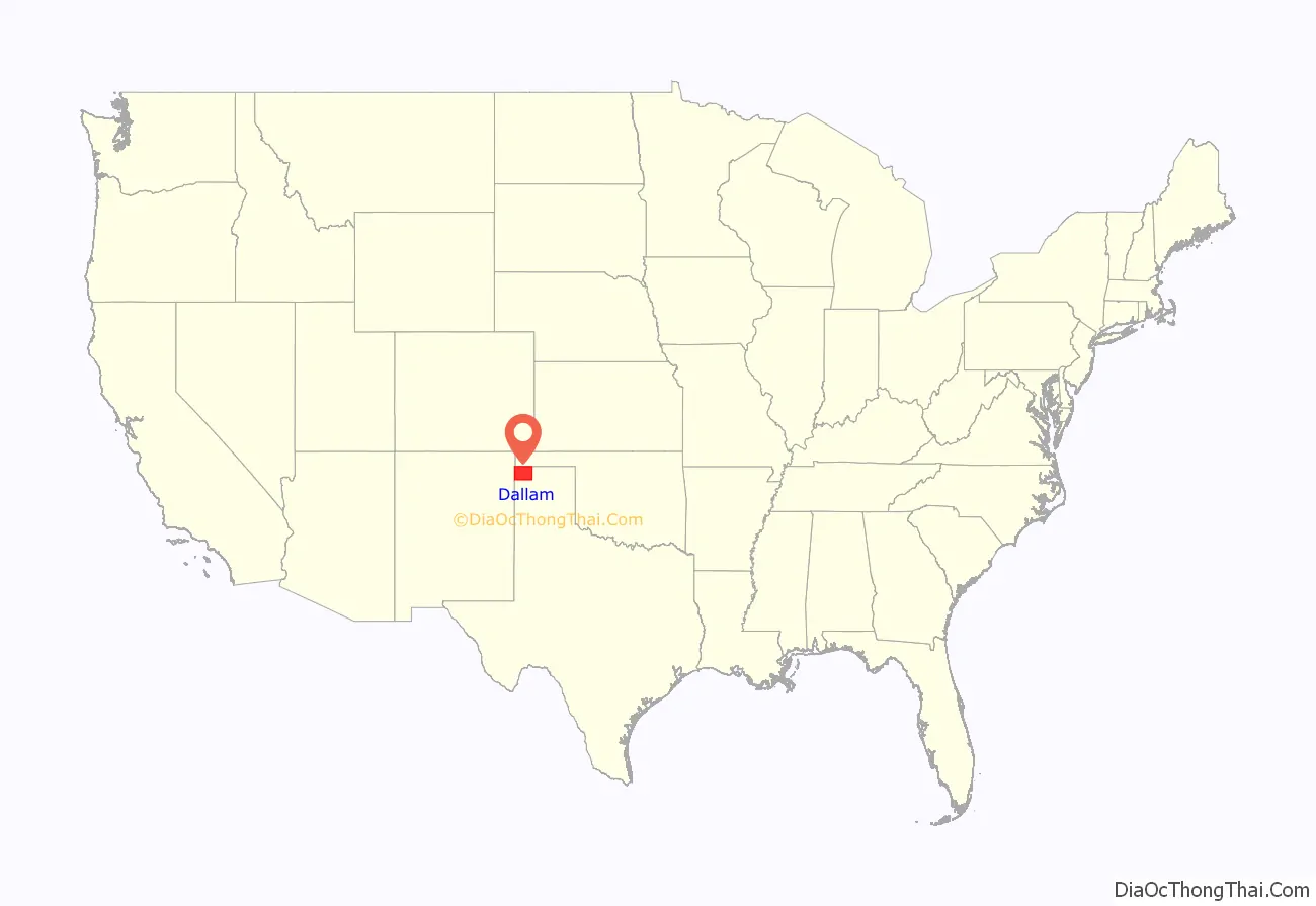
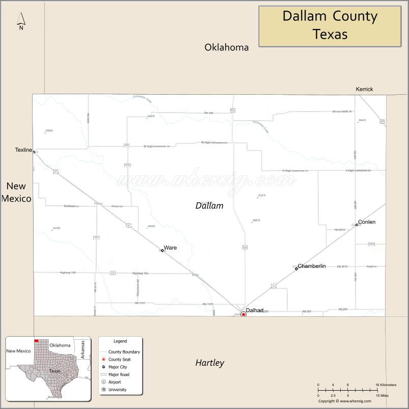
Dallam County location map. Where is Dallam County?
History
Dallam County was formed in 1876 from portions of Bexar County. It was named after James Wilmer Dallam, the lawyer who made the first digest of Texas laws. The first settlement in the area followed in 1870, which resulted in the Red River War of 1874 and 1875 with the native Comanche and Kiowa tribes. In 1900–01, the Chicago, Rock Island and Pacific Railroad company built a stretch from Liberal, Kansas, to Tucumcari, New Mexico, which ran through the county. The location where the tracks met those of the Fort Worth and Denver Railway was named Dalhart. The name is taken from the first letters of Dallam County and Hartley County, between which the town’s area is divided. Within a short time, the small railroad stop turned into a sizable town and was named county seat in 1903.
Dallam County was one of the hardest-hit areas in the Dust Bowl.
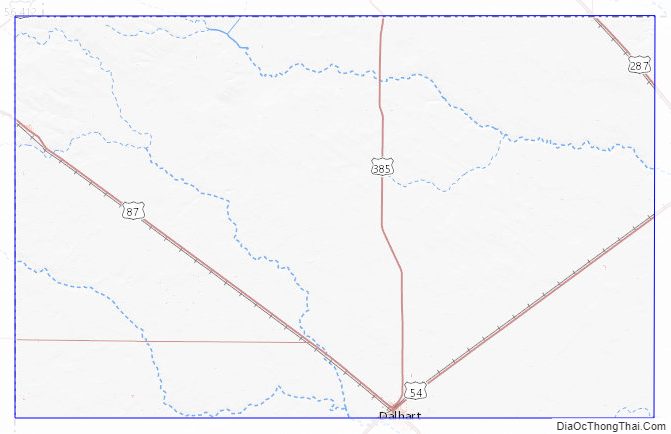
Dallam County Road Map
Geography
According to the U.S. Census Bureau, the county has a total area of 1,505 square miles (3,900 km), of which 1,503 square miles (3,890 km) are land and 2.0 square miles (5.2 km) (0.1%) are covered by water.
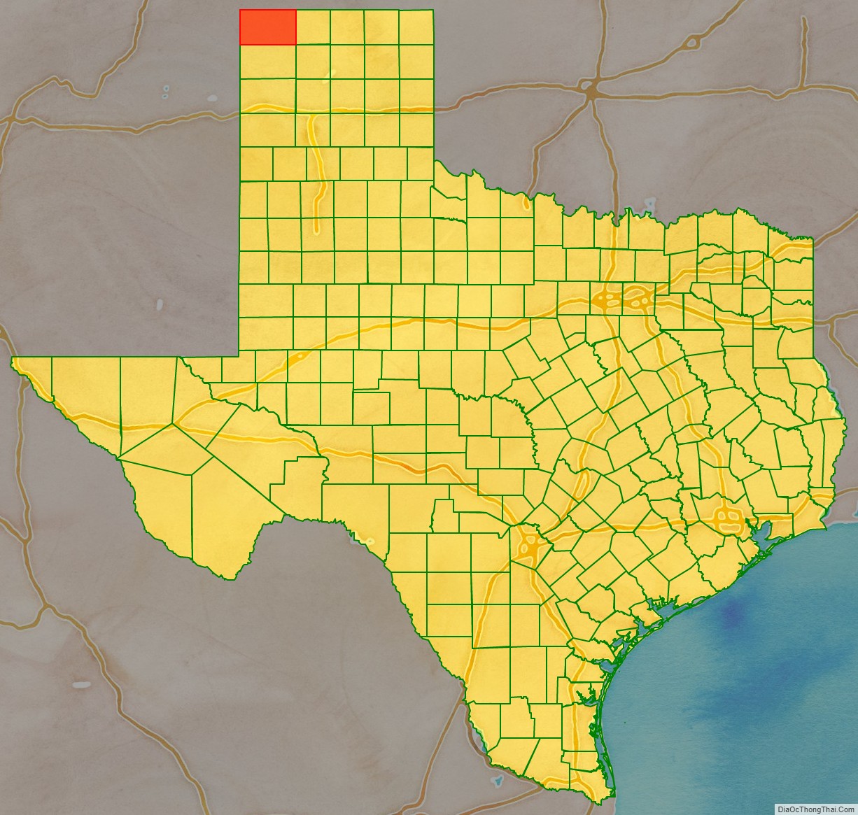
Dallam County is one of only three counties in Texas to border two other U.S. states (the others being Bowie and Cass). Dallam County forms part of the tripoint—of Texas-Oklahoma-New Mexico.
Major highways
- U.S. Highway 54
- U.S. Highway 87
- U.S. Highway 287
- U.S. Highway 385
- State Highway 102
Adjacent counties
- Cimarron County, Oklahoma (north)
- Sherman County (east)
- Moore County (southeast)
- Hartley County (south)
- Union County, New Mexico (west)
National protected area
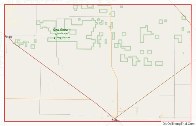
- Rita Blanca National Grassland (part)
Dallam County Topographic Map
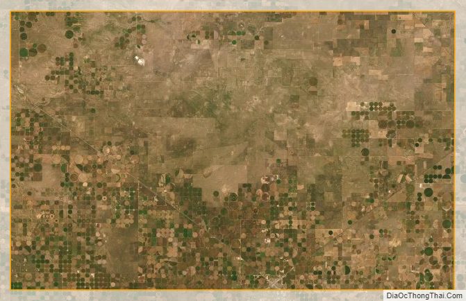
Dallam County Satellite Map
Dallam County Outline Map