Union County is a county located in the U.S. state of North Carolina. As of the 2020 census, the population was 238,267. Its county seat is Monroe. Union County is included in the Charlotte–Concord–Gastonia, NC-SC Metropolitan Statistical Area.
| Name: | Union County |
|---|---|
| FIPS code: | 37-179 |
| State: | North Carolina |
| Founded: | 1842 |
| Named for: | Compromise name that both Democrats and Whigs agreed on |
| Seat: | Monroe |
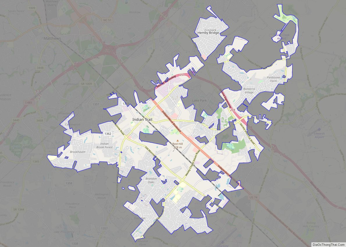
| Largest town: | Indian Trail |
| Total Area: | 640 sq mi (1,700 km²) |
| Land Area: | 632 sq mi (1,640 km²) |
| Total Population: | 243,648 |
| Population Density: | 385.5/sq mi (148.8/km²) |
| Time zone: | UTC−5 (Eastern) |
| Summer Time Zone (DST): | UTC−4 (EDT) |
| Website: | www.unioncountync.gov |
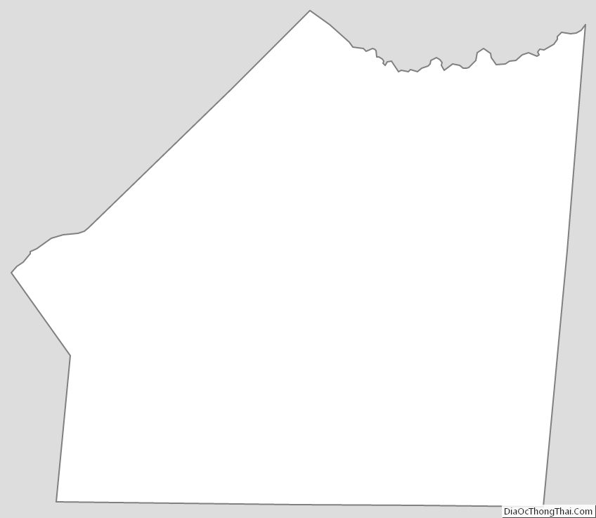
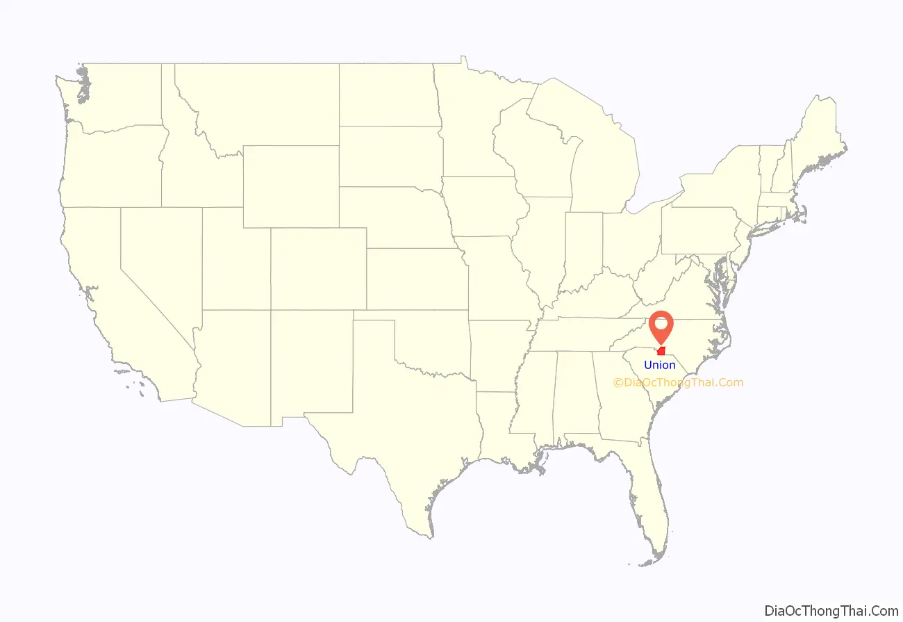
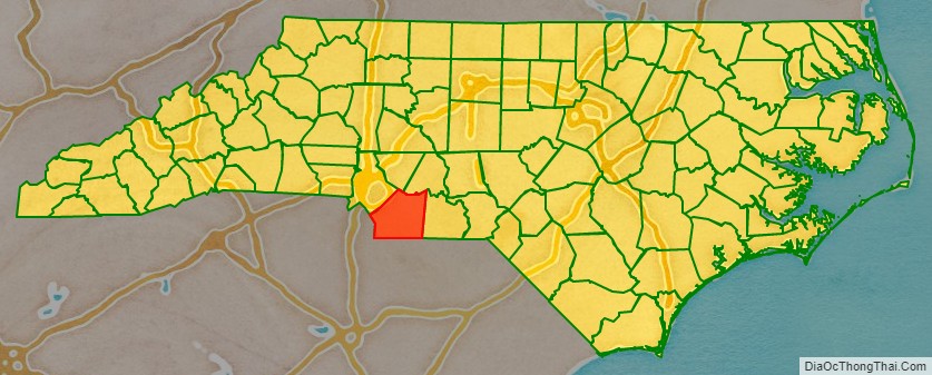
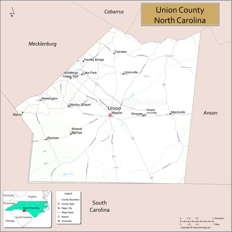
Union County location map. Where is Union County?
History
The county was formed in 1842 from parts of Anson County and Mecklenburg County. Its name was a compromise between Whigs, who wanted to name the new county for Henry Clay, and Democrats, who wanted to name it for Andrew Jackson. The Helms, Starnes, McRorie, and Belk families were prominent in the town as well as Monroe and Charlotte. Most of these families came from Goose Creek Township.
Monroe, the county seat of Union County, also became a focal point during the Civil Rights Movement. In 1958, local NAACP Chapter President Robert F. Williams defended a nine-year-old African-American boy who had been kissed by a white girl in an incident known as the Kissing Case. A second African-American boy, aged seven, was also convicted and sentenced to live in a juvenile reformatory until he was 21 for simply witnessing the act.
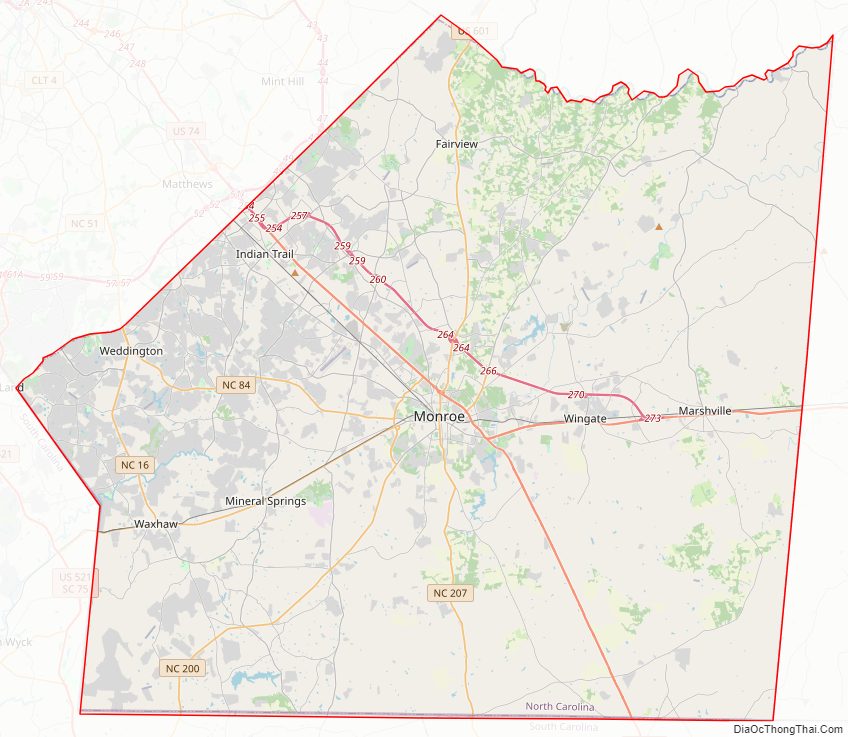
Union County Road Map
Geography
According to the U.S. Census Bureau, the county has a total area of 640 square miles (1,700 km), of which 632 square miles (1,640 km) is land and 8.0 square miles (21 km) (1.3%) is water.
State and local protected areas
- Mineral Springs Greenway
- Rocky River Blueway
Major water bodies
- Beaverdam Creek (Lanes Creek tributary)
- Crooked Creek (Rocky River tributary)
- Lake Lee
- Lake Monroe
- Lake Twitty
- Lanes Creek (Rocky River tributary)
- Lynches River
- Rocky River
Adjacent counties
- Cabarrus County – north
- Stanly County – northeast
- Anson County – east
- Chesterfield County, South Carolina – southeast
- Lancaster County, South Carolina – southwest
- Mecklenburg County – northwest
Major highways
- US 74
- US 74 Byp. (Tolled)
- US 601
- NC 16
- NC 75
- NC 84
- NC 200
- NC 205
- NC 207
- NC 218
- NC 522
- NC 742
Major Infrastructure
- Charlotte-Monroe Executive Airport
- Goose Creek Airport (28A)
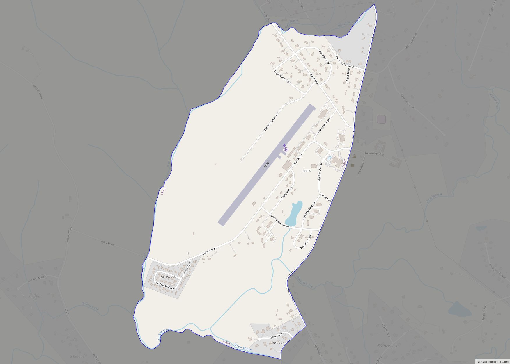
- Jaars-Townsend Airport
Union County Topographic Map
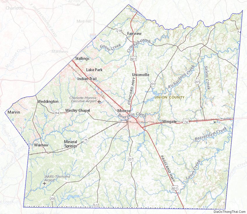
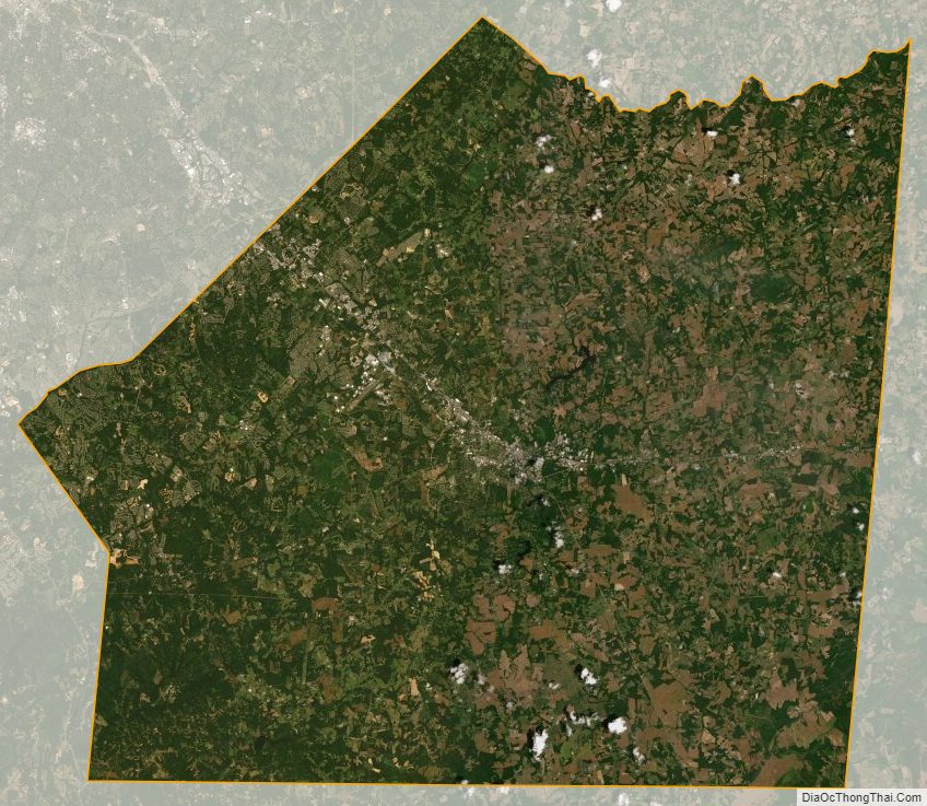
Union County Satellite Map
Union County Outline Map