Indian Trail is a suburban town in Union County, North Carolina, United States. A part of the Charlotte metropolitan area, Indian Trail has grown rapidly in the 21st century, going from 1,942 residents in 1990 to 39,997 in 2020. Every Fourth of July the town holds an annual parade which is one of the biggest parades in the Charlotte area.
| Name: | Indian Trail town |
|---|---|
| LSAD Code: | 43 |
| LSAD Description: | town (suffix) |
| State: | North Carolina |
| County: | Union County |
| Elevation: | 715 ft (218 m) |
| Total Area: | 22.53 sq mi (58.36 km²) |
| Land Area: | 22.38 sq mi (57.97 km²) |
| Water Area: | 0.15 sq mi (0.39 km²) |
| Total Population: | 39,997 |
| Population Density: | 1,786.86/sq mi (689.91/km²) |
| ZIP code: | 28079 |
| Area code: | 704 |
| FIPS code: | 3733560 |
| GNISfeature ID: | 0987370 |
| Website: | www.indiantrail.org |
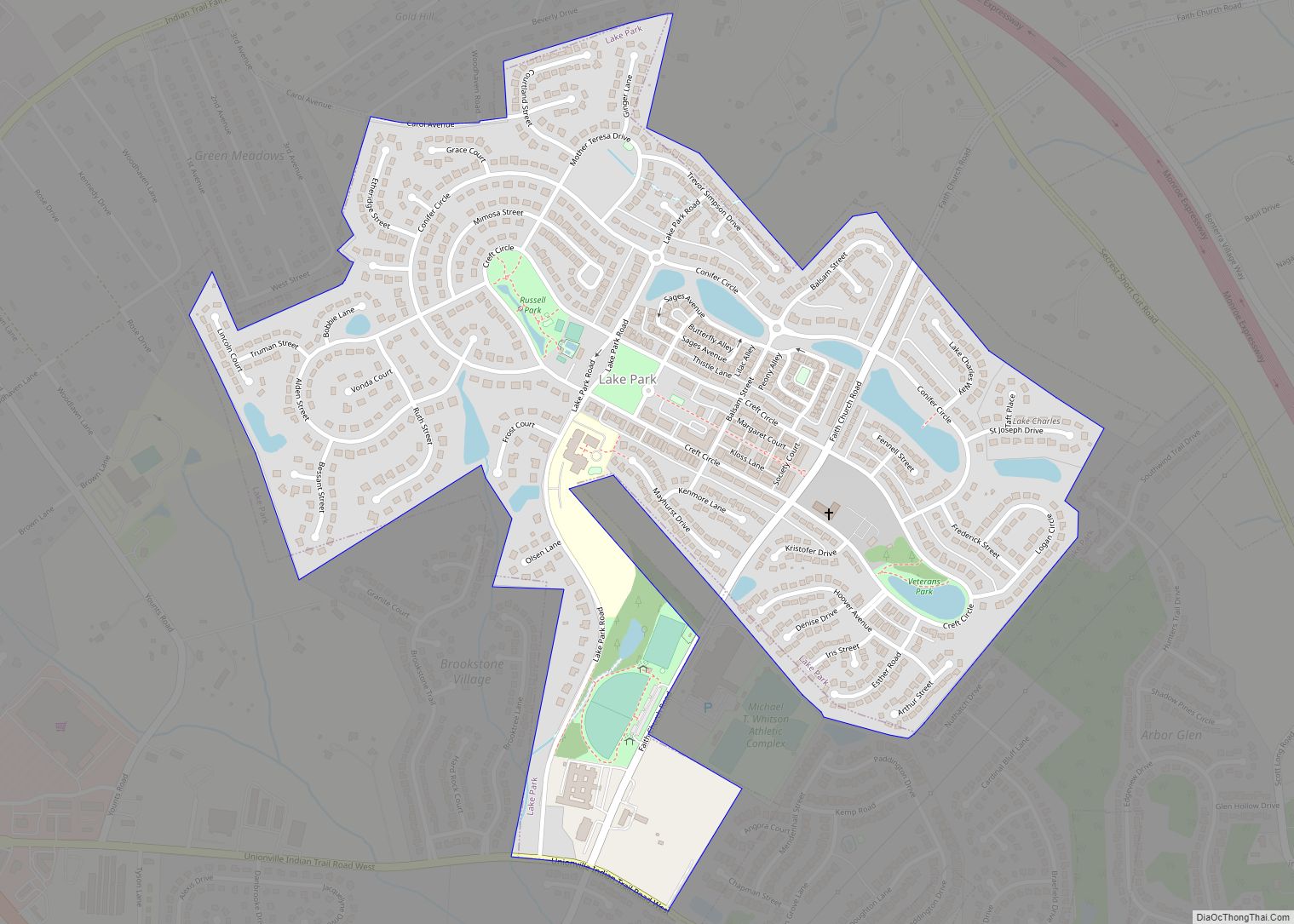
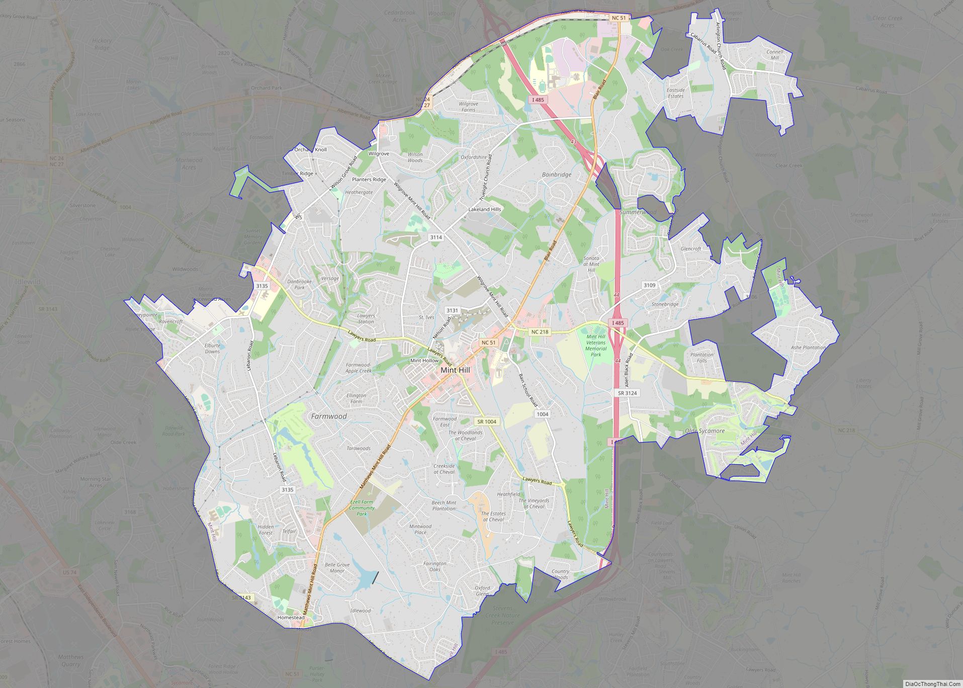
Online Interactive Map
Click on ![]() to view map in "full screen" mode.
to view map in "full screen" mode.
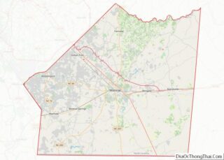
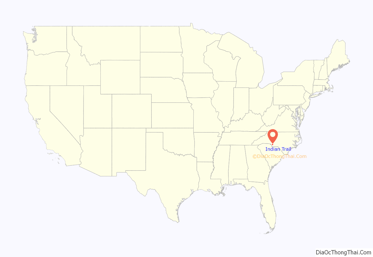
Indian Trail location map. Where is Indian Trail town?
History
Founded on March 12, 1861, the town holds a history of traders traveling along the “Indian Trail,” which ran from Petersburg, Virginia, to the Waxhaw Indians and gold mining areas. Indian Trail was first a farming community; however, German and Scot-Irish and Irish settlers began to move into the area due to its geographical location. In 1874, the Seaboard Coast Line Railroad was built between the cities Charlotte and Monroe. The railroad, which runs through the town, brought prosperity to the area. Indian Trail was incorporated as a town in 1907, with established city limits based upon a one-half mile radius from the intersection of Indian Trail Road and the Seaboard Railroad.
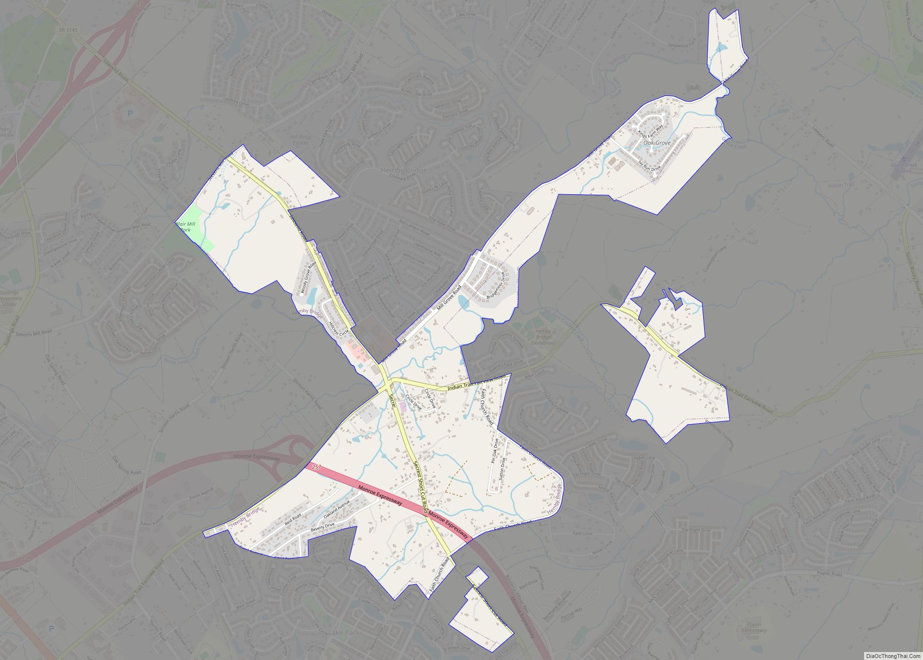
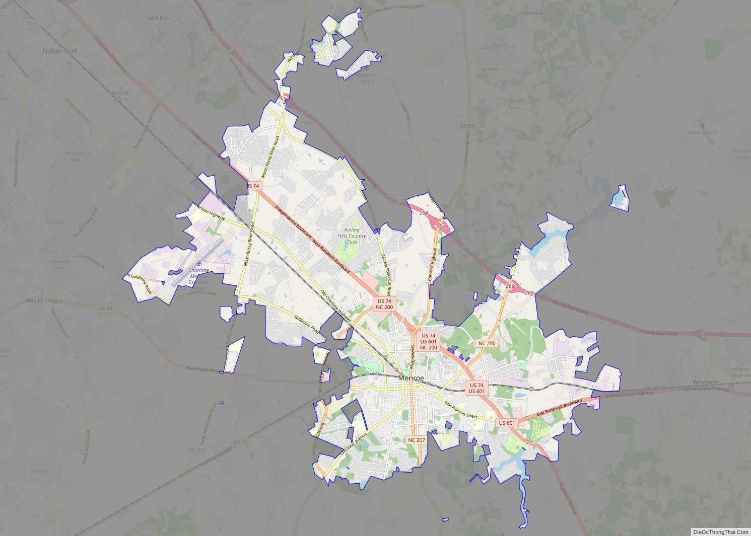
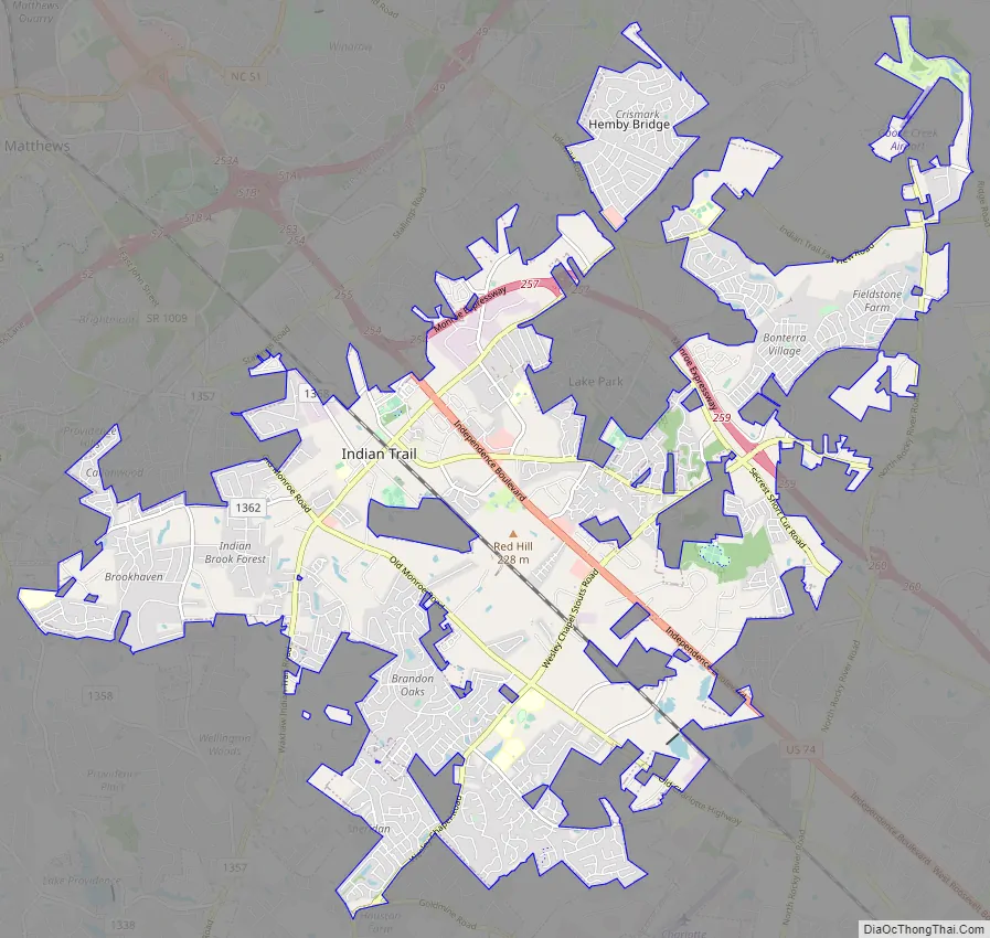
Indian Trail Road Map
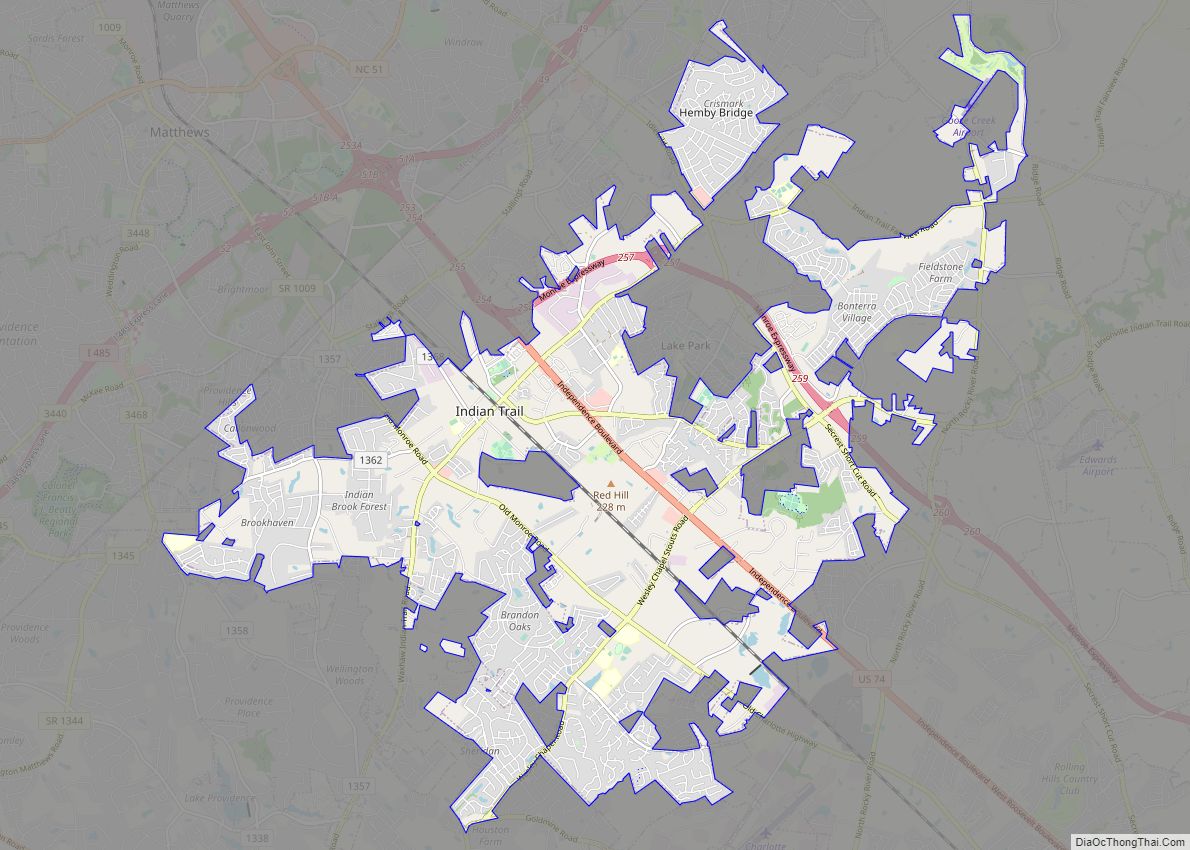
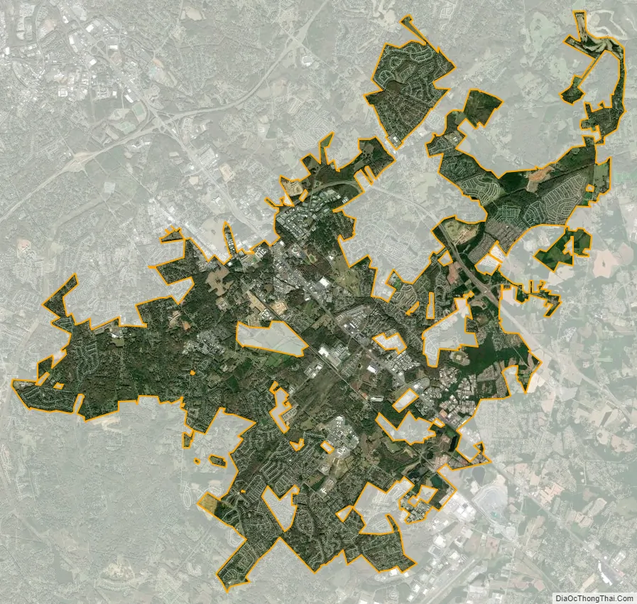
Indian Trail city Satellite Map
Geography
Indian Trail is located at 35°4′37″N 80°40′9″W / 35.07694°N 80.66917°W / 35.07694; -80.66917 (35.076944, -80.669167).
Located in the southern portion of the Piedmont region of North Carolina, Indian Trail is a rapidly growing suburb approximately 10 miles southeast of Charlotte, in Union County. Indian Trail is located in the northwestern portion of Union County, which is among the 10 fastest-growing counties in the United States. It is bordered by seven other municipalities, in addition to unincorporated portions of Union County. Its proximity to Charlotte and the regional transportation network it enjoys should continue to generate growth and development within its boundaries.
According to the United States Census Bureau, the town has a total area of 22.1 square miles (57 km), of which 22.1 square miles (57 km) is land and 0.04 square miles (0.10 km) (0.26%) is water.
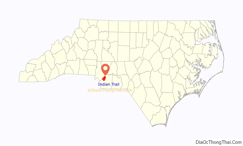
See also
Map of North Carolina State and its subdivision:- Alamance
- Alexander
- Alleghany
- Anson
- Ashe
- Avery
- Beaufort
- Bertie
- Bladen
- Brunswick
- Buncombe
- Burke
- Cabarrus
- Caldwell
- Camden
- Carteret
- Caswell
- Catawba
- Chatham
- Cherokee
- Chowan
- Clay
- Cleveland
- Columbus
- Craven
- Cumberland
- Currituck
- Dare
- Davidson
- Davie
- Duplin
- Durham
- Edgecombe
- Forsyth
- Franklin
- Gaston
- Gates
- Graham
- Granville
- Greene
- Guilford
- Halifax
- Harnett
- Haywood
- Henderson
- Hertford
- Hoke
- Hyde
- Iredell
- Jackson
- Johnston
- Jones
- Lee
- Lenoir
- Lincoln
- Macon
- Madison
- Martin
- McDowell
- Mecklenburg
- Mitchell
- Montgomery
- Moore
- Nash
- New Hanover
- Northampton
- Onslow
- Orange
- Pamlico
- Pasquotank
- Pender
- Perquimans
- Person
- Pitt
- Polk
- Randolph
- Richmond
- Robeson
- Rockingham
- Rowan
- Rutherford
- Sampson
- Scotland
- Stanly
- Stokes
- Surry
- Swain
- Transylvania
- Tyrrell
- Union
- Vance
- Wake
- Warren
- Washington
- Watauga
- Wayne
- Wilkes
- Wilson
- Yadkin
- Yancey
- Alabama
- Alaska
- Arizona
- Arkansas
- California
- Colorado
- Connecticut
- Delaware
- District of Columbia
- Florida
- Georgia
- Hawaii
- Idaho
- Illinois
- Indiana
- Iowa
- Kansas
- Kentucky
- Louisiana
- Maine
- Maryland
- Massachusetts
- Michigan
- Minnesota
- Mississippi
- Missouri
- Montana
- Nebraska
- Nevada
- New Hampshire
- New Jersey
- New Mexico
- New York
- North Carolina
- North Dakota
- Ohio
- Oklahoma
- Oregon
- Pennsylvania
- Rhode Island
- South Carolina
- South Dakota
- Tennessee
- Texas
- Utah
- Vermont
- Virginia
- Washington
- West Virginia
- Wisconsin
- Wyoming