Monroe is a city in and the county seat of Union County, North Carolina, United States. The population increased from 32,797 in 2010 to 34,551 in 2020. It is within the rapidly growing Charlotte metropolitan area. Monroe has a council-manager form of government.
| Name: | Monroe city |
|---|---|
| LSAD Code: | 25 |
| LSAD Description: | city (suffix) |
| State: | North Carolina |
| County: | Union County |
| Elevation: | 591 ft (180 m) |
| Total Area: | 31.54 sq mi (81.68 km²) |
| Land Area: | 30.92 sq mi (80.08 km²) |
| Water Area: | 0.62 sq mi (1.60 km²) |
| Total Population: | 34,562 |
| Population Density: | 1,117.86/sq mi (431.61/km²) |
| ZIP code: | 28110-28112 |
| Area code: | 704 980 |
| FIPS code: | 3743920 |
| GNISfeature ID: | 0990144 |
| Website: | www.monroenc.org |
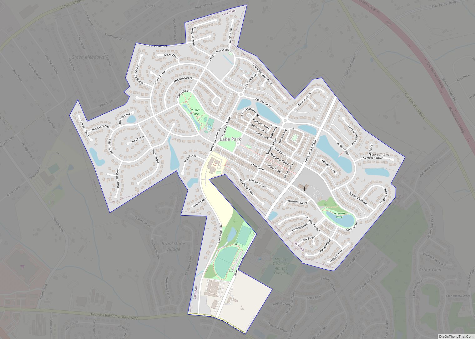
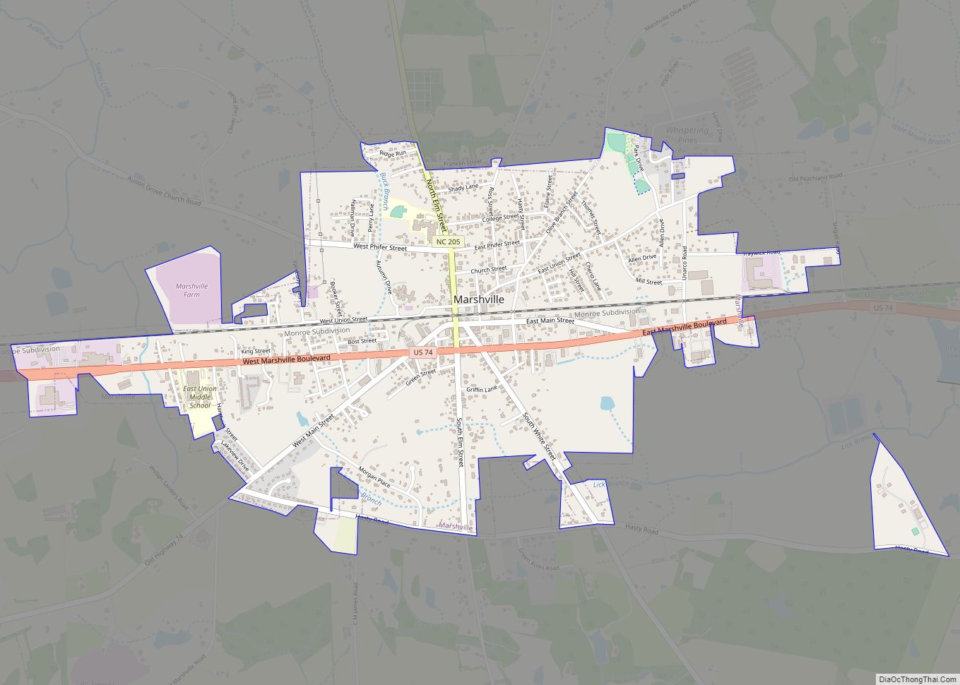
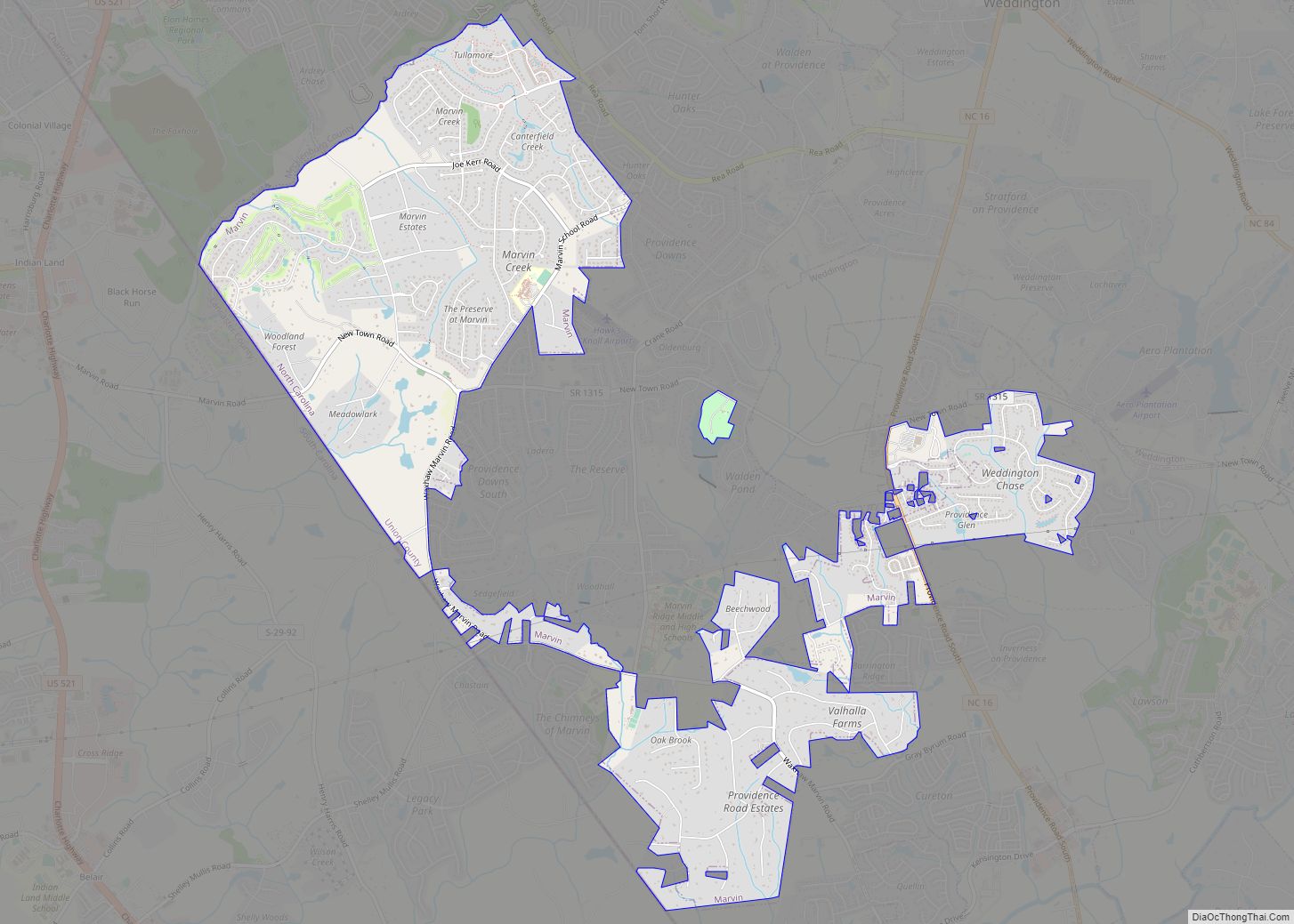
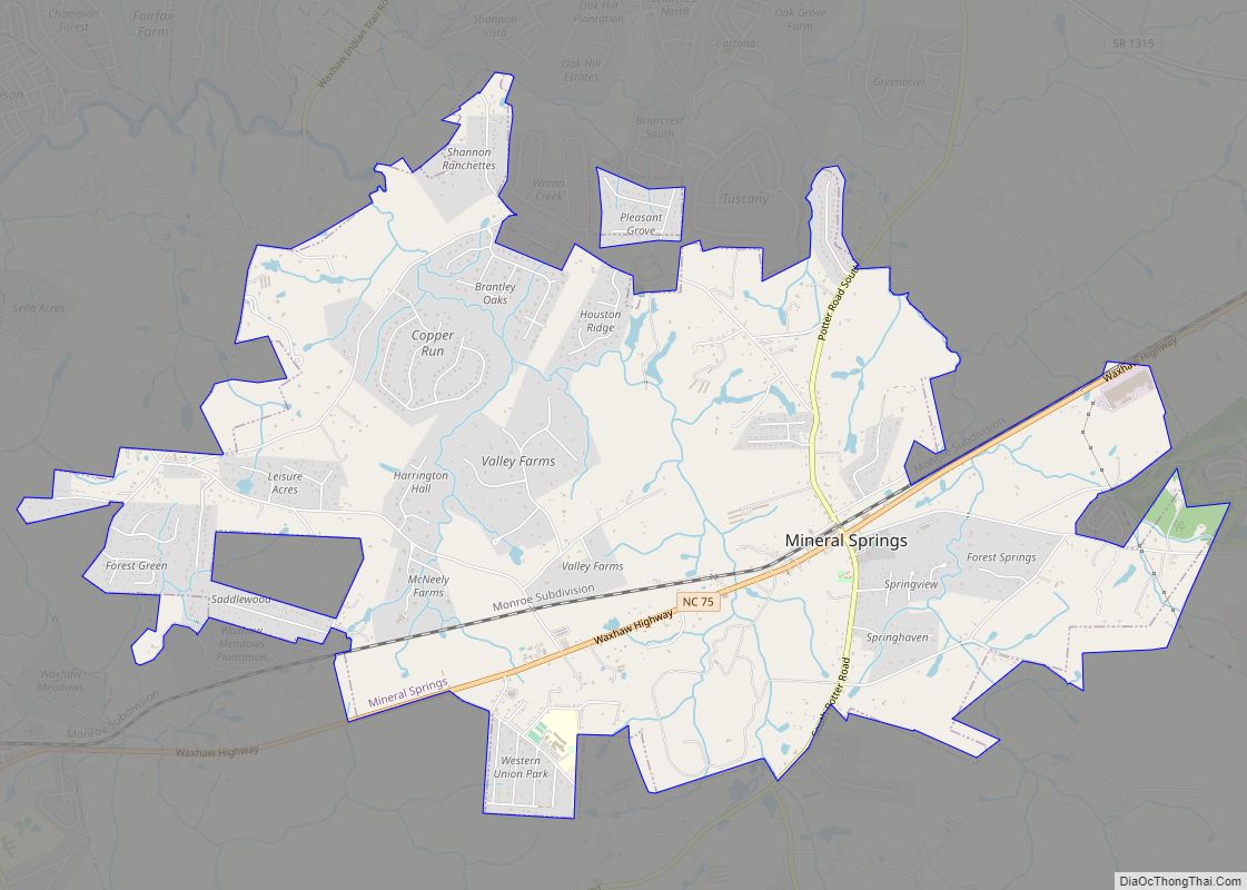
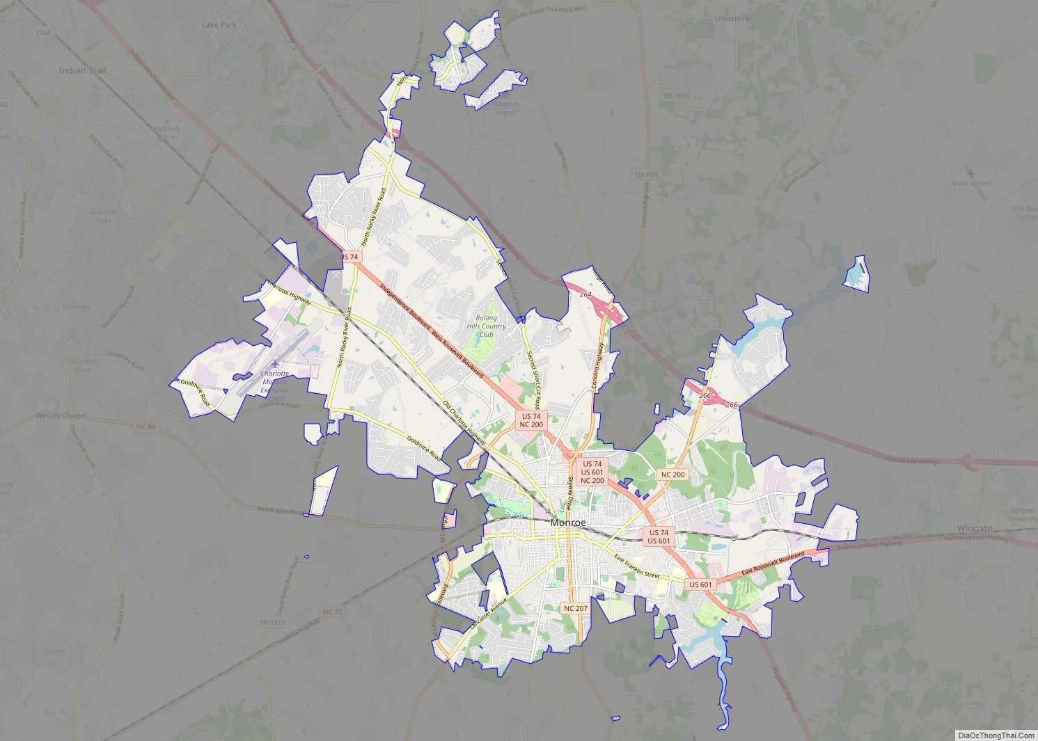
Online Interactive Map
Click on ![]() to view map in "full screen" mode.
to view map in "full screen" mode.
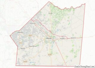
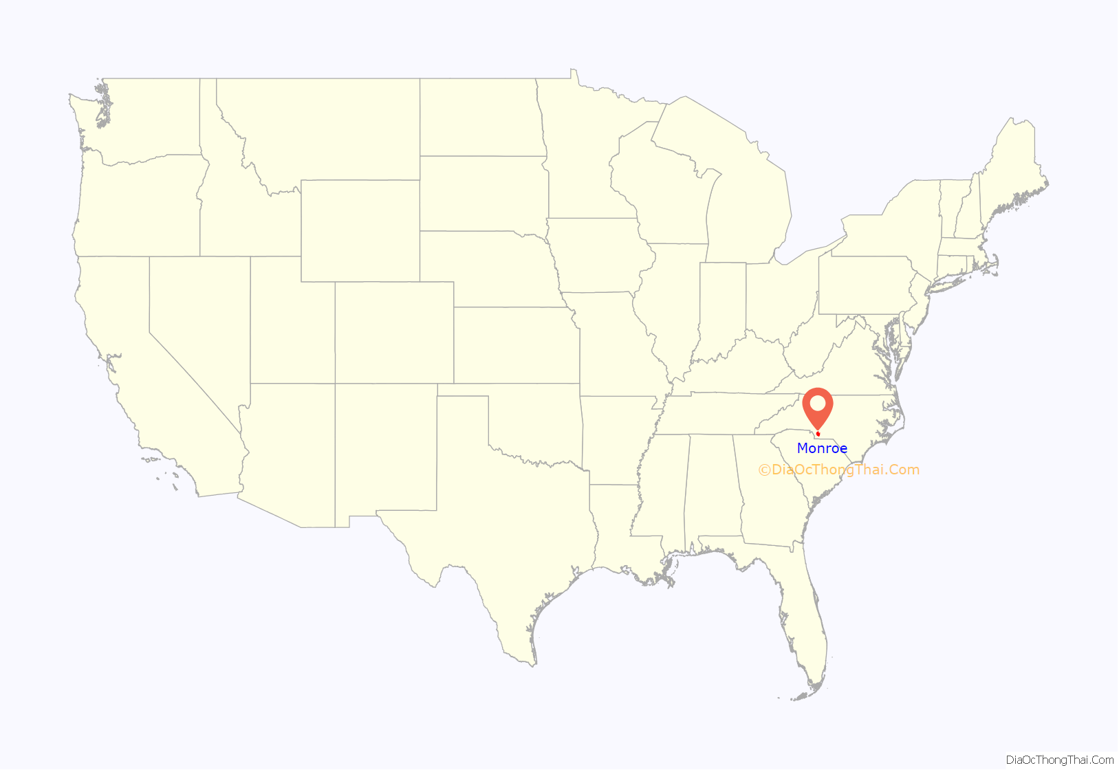
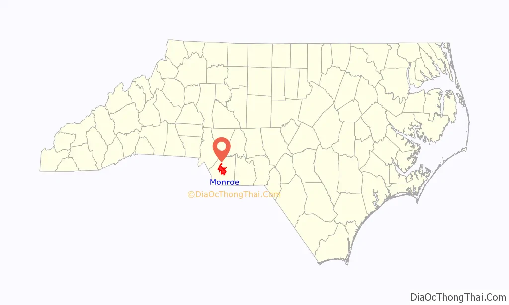
Monroe location map. Where is Monroe city?
History
Monroe was founded as a planned settlement. In 1843, the first Board of County Commissioners, appointed by the General Assembly, selected an area in the center of the county as the county seat, and Monroe was incorporated that year. It was named for James Monroe, the country’s fifth president. It became a trading center for the agricultural areas of the Piedmont region, which cultivated tobacco.
Monroe was home to the Starlite Speedway in the 1960s to 1970s. On May 13, 1966, the 1/2 mile dirt track hosted NASCAR’s ‘Independent 250.’ Darel Dieringer won the race.
Since 1984, Ludwig drums and timpani have been manufactured in Monroe.
As part of the developing Charlotte metropolitan area, in the 21st century, Monroe has attracted new Hispanic residents. North Carolina has encouraged immigration to increase its labor pool.
The Malcolm K. Lee House, Monroe City Hall, Monroe Downtown Historic District, Monroe Residential Historic District, Piedmont Buggy Factory, John C. Sikes House, Union County Courthouse, United States Post Office, and Waxhaw-Weddington Roads Historic District are listed on the National Register of Historic Places.
Civil rights struggle
Racial segregation established by a white-dominated state legislature after the end of the Reconstruction era, persisted for nearly a century into the 1960s. Following World War II, many local blacks and veterans, including Marine veteran Robert F. Williams, began to push to regain their constitutional rights after having served the United States and the cause of freedom during the war. This would come to be met with some resistance. During this time, the city had a population estimated at 12,000; the press reported an estimated 7,500 members of the Ku Klux Klan gathering in the city, many coming from South Carolina, being only 14 miles from the state border.
Williams was elected as president of the local chapter of the NAACP; the National Association for the Advancement of Colored People had been founded in the early 1900s. He began to work to integrate public facilities, starting with the library and the city’s swimming pool, which both excluded blacks. He noted that not only did blacks pay taxes as citizens that supported operations of such facilities, but they had been built with federal funds during the Great Depression of the 1930s.
In 1958 Williams hired Conrad Lynn, a civil rights attorney from New York City, to aid in defending two African-American boys, aged nine and seven. They had been convicted of “molestation” and sentenced to a reformatory until age 21 for kissing a white girl their age on the cheek. This became known as the Kissing Case. The former First Lady, Eleanor Roosevelt, talked to the North Carolina governor to urge restraint, and the case became internationally embarrassing for the United States. After three months, the governor pardoned the boys.
During the civil rights movement years of the 1960s, there was rising in Ku Klux Klan white violence against the minority black community of Monroe. Williams began to advocate black armed self-defense. Groups known as the Deacons for Defense, were founded by other civil rights leaders in Louisiana and Mississippi.
The NAACP and the black community in Monroe provided a base for some of the Freedom Riders in 1961, who were trying to integrate interstate bus travel through southern states. They had illegally imposed segregation in such buses in the South, although interstate travel was protected under the federal constitution’s provisions regulating interstate commerce. Mobs attacked pickets marching for the Freedom Riders at the county courthouse. That year, Williams was accused of kidnapping an elderly white couple, when he sheltered them in his house during an explosive situation of high racial tensions.
Williams and his wife fled the United States to avoid prosecution for kidnapping. They went into exile for years in Cuba and in the People’s Republic of China. In 1969 they finally returned to the United States, after Congress had passed important civil rights legislation in 1964 and 1965. The trial of Williams was scheduled in 1975, but North Carolina finally reviewed its case and dropped the charges against him.
The Jesse Helms family was prominent among the white community during these years. Jesse Helms Sr. served as Police and Fire Chief of Monroe for many years. Jesse Helms, Jr. was born and grew up in the town, where whites were Democrats in his youth. He became a politician and was elected to five terms (1973–2003) as a U.S. Senator from North Carolina, switching to the Republican Party as it attracted conservative whites. He mustered support in the South, and played a key role in helping Ronald Reagan to be elected as President of the United States. Through that period, he was also a prominent (and often controversial) national leader of the Religious Right wing of the Republican Party. The Jesse Helms Center is in neighboring Wingate, North Carolina.
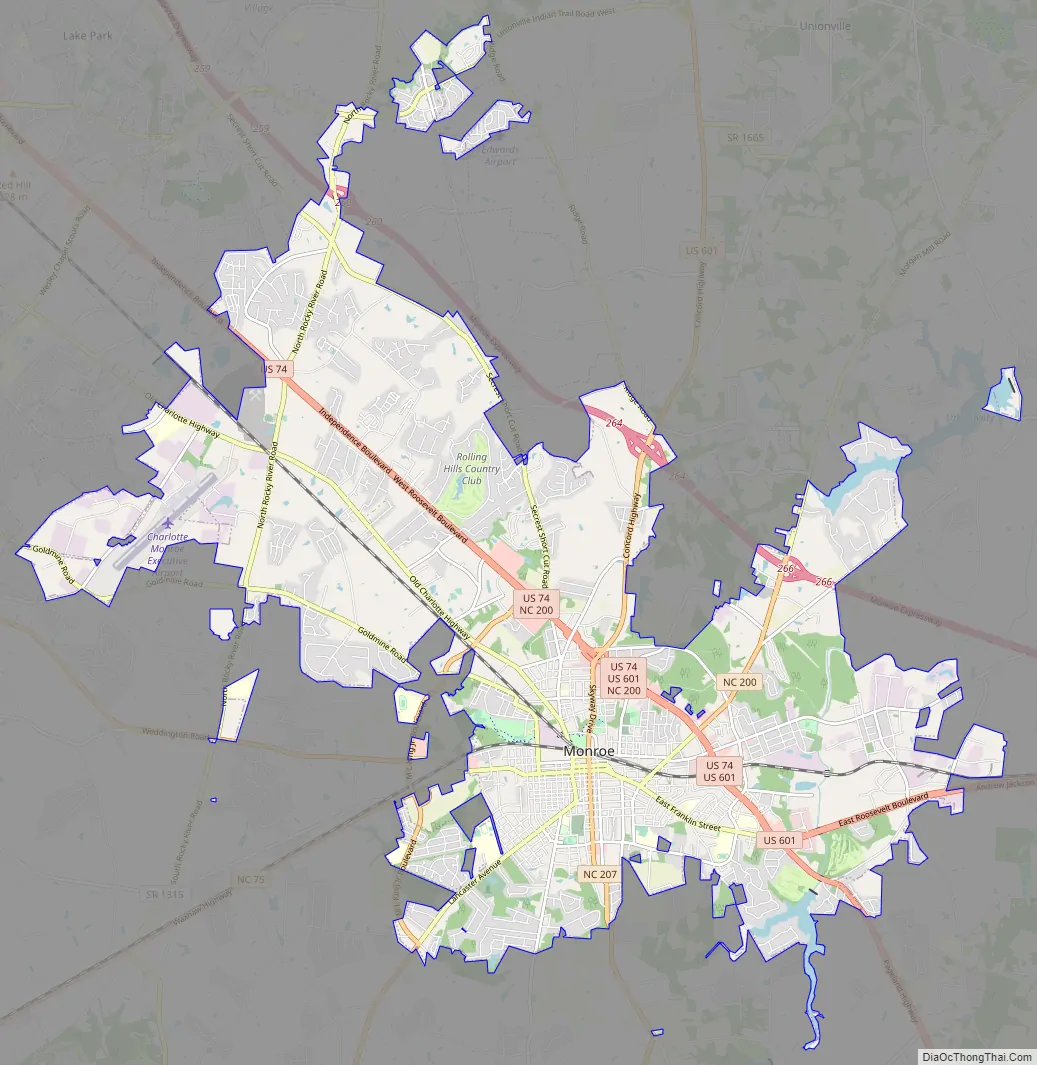
Monroe Road Map
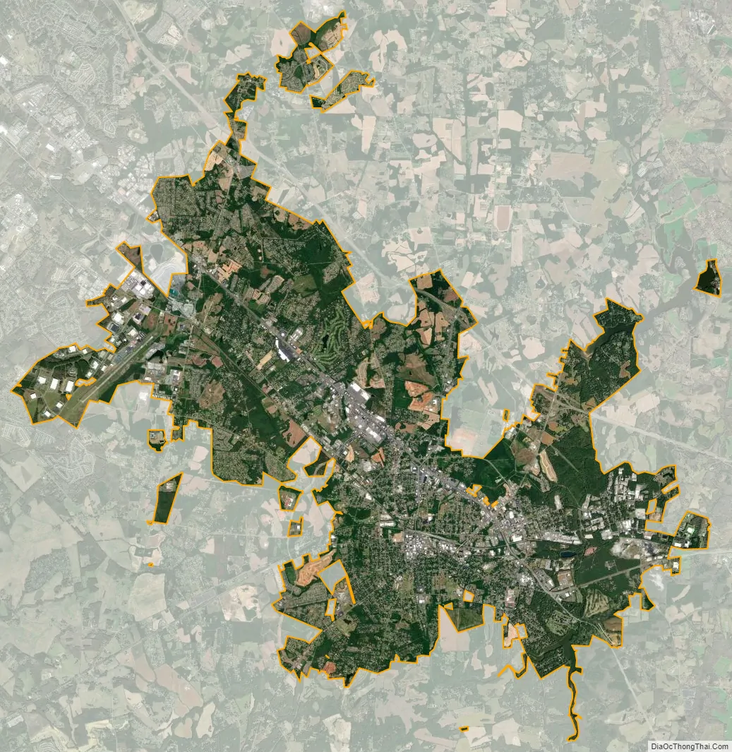
Monroe city Satellite Map
Geography
According to the United States Census Bureau, the city has a total area of 24.9 square miles (64 km), of which 24.6 square miles (64 km) is land and 0.3 square miles (0.78 km) (1.13%) is water.
See also
Map of North Carolina State and its subdivision:- Alamance
- Alexander
- Alleghany
- Anson
- Ashe
- Avery
- Beaufort
- Bertie
- Bladen
- Brunswick
- Buncombe
- Burke
- Cabarrus
- Caldwell
- Camden
- Carteret
- Caswell
- Catawba
- Chatham
- Cherokee
- Chowan
- Clay
- Cleveland
- Columbus
- Craven
- Cumberland
- Currituck
- Dare
- Davidson
- Davie
- Duplin
- Durham
- Edgecombe
- Forsyth
- Franklin
- Gaston
- Gates
- Graham
- Granville
- Greene
- Guilford
- Halifax
- Harnett
- Haywood
- Henderson
- Hertford
- Hoke
- Hyde
- Iredell
- Jackson
- Johnston
- Jones
- Lee
- Lenoir
- Lincoln
- Macon
- Madison
- Martin
- McDowell
- Mecklenburg
- Mitchell
- Montgomery
- Moore
- Nash
- New Hanover
- Northampton
- Onslow
- Orange
- Pamlico
- Pasquotank
- Pender
- Perquimans
- Person
- Pitt
- Polk
- Randolph
- Richmond
- Robeson
- Rockingham
- Rowan
- Rutherford
- Sampson
- Scotland
- Stanly
- Stokes
- Surry
- Swain
- Transylvania
- Tyrrell
- Union
- Vance
- Wake
- Warren
- Washington
- Watauga
- Wayne
- Wilkes
- Wilson
- Yadkin
- Yancey
- Alabama
- Alaska
- Arizona
- Arkansas
- California
- Colorado
- Connecticut
- Delaware
- District of Columbia
- Florida
- Georgia
- Hawaii
- Idaho
- Illinois
- Indiana
- Iowa
- Kansas
- Kentucky
- Louisiana
- Maine
- Maryland
- Massachusetts
- Michigan
- Minnesota
- Mississippi
- Missouri
- Montana
- Nebraska
- Nevada
- New Hampshire
- New Jersey
- New Mexico
- New York
- North Carolina
- North Dakota
- Ohio
- Oklahoma
- Oregon
- Pennsylvania
- Rhode Island
- South Carolina
- South Dakota
- Tennessee
- Texas
- Utah
- Vermont
- Virginia
- Washington
- West Virginia
- Wisconsin
- Wyoming