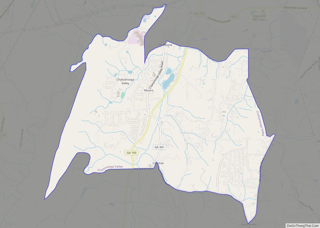
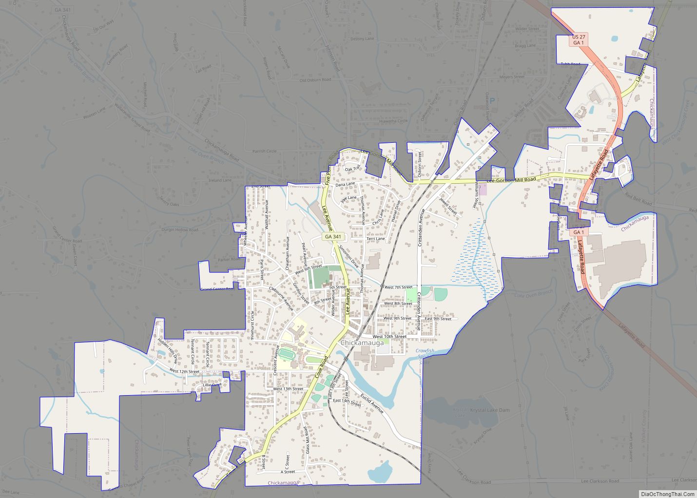
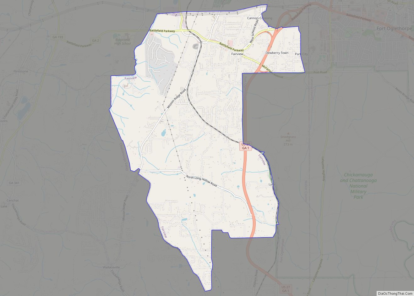
Walker County is a county located in the northwestern part of the U.S. state of Georgia. As of the 2020 census, the population was 67,654, down from 68,756 in 2010. The county seat is LaFayette. The county was created on December 18, 1833, from land formerly belonging to the Cherokee Indian Nation.
Walker County is part of the Chattanooga TN/GA Metropolitan Statistical Area.
| Name: | Walker County |
|---|---|
| FIPS code: | 13-295 |
| State: | Georgia |
| Founded: | 1833 |
| Named for: | Freeman Walker |
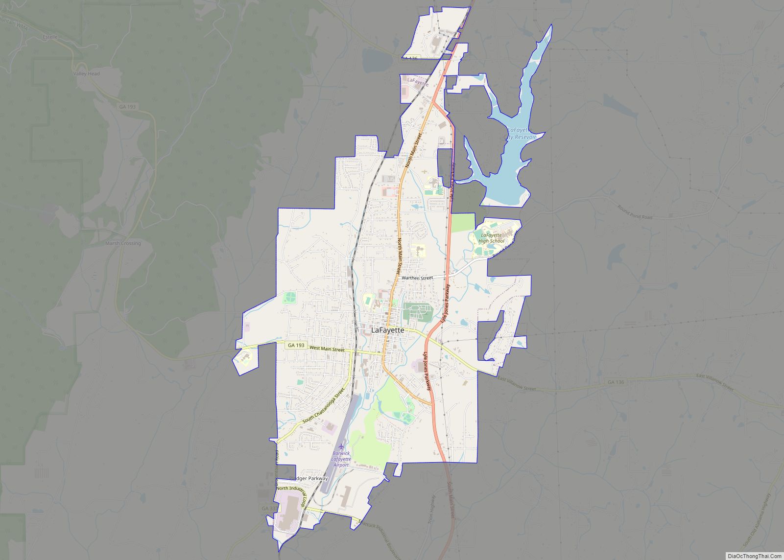
| Seat: | LaFayette |
| Largest city: | LaFayette |
| Total Area: | 447 sq mi (1,160 km²) |
| Land Area: | 446 sq mi (1,160 km²) |
| Total Population: | 67,654 |
| Time zone: | UTC−5 (Eastern) |
| Summer Time Zone (DST): | UTC−4 (EDT) |
| Website: | www.walkercountyga.gov |
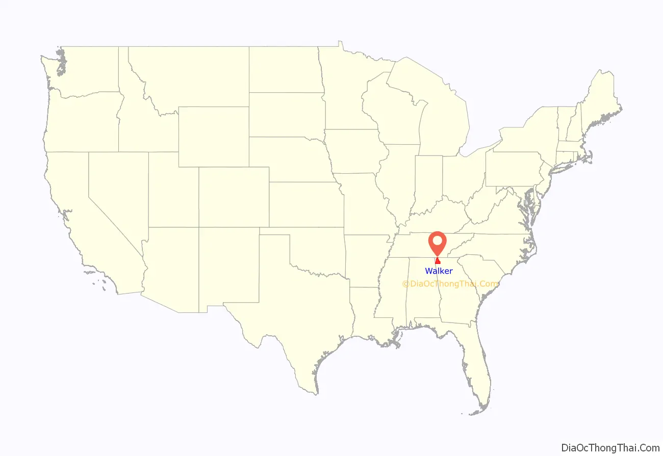
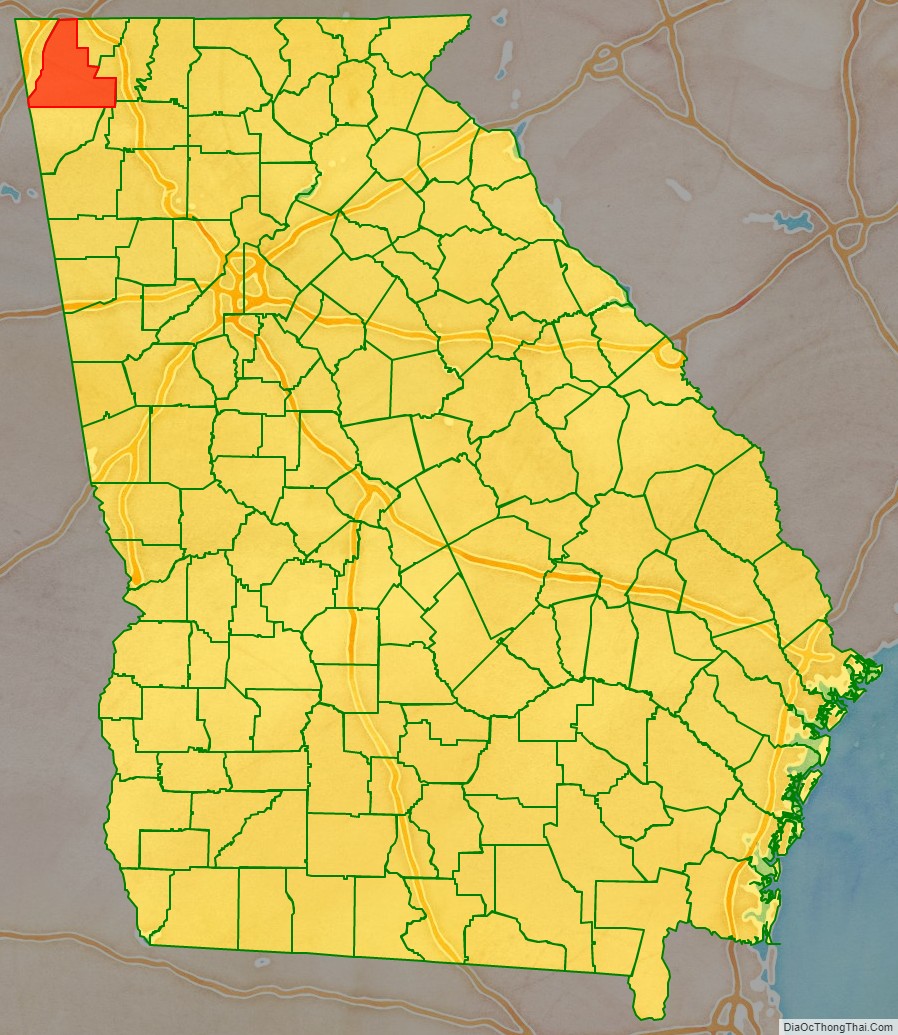
Walker County location map. Where is Walker County?
History
Walker County was named after Georgia’s U.S. Senator, Freeman Walker (1780–1827).
Civil War battles fought in Walker County were part of the Chickamauga Campaign fought between August 21 and September 20, 1863:
- Second Battle of Chattanooga, August 21.
- Battle of Davis’s Cross Roads, September 10–11.
- Battle of Chickamauga, September 19–20.
In 2002 the Tri-State Crematory scandal in Noble came to national attention when 339 bodies that were consigned to be cremated were discovered on the property. The owner, Ray Brent Marsh, was convicted of several charges and sentenced to twelve years in prison.
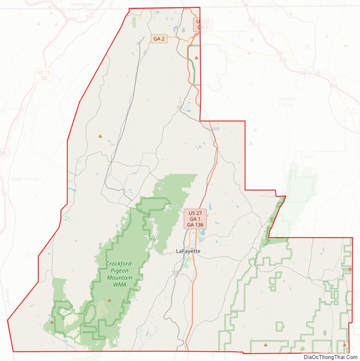
Walker County Road Map
Geography
According to the U.S. Census Bureau, the county has a total area of 447 square miles (1,160 km), of which 446 square miles (1,160 km) is land and 0.6 square miles (1.6 km) (0.1%) is water. The northern two-thirds of Walker County is located in the Middle Tennessee-Chickamauga sub-basin of the Middle Tennessee-Hiwassee basin. Most of the southeastern portion of the county is located in the Oostanaula River sub-basin in the ACT River Basin (Coosa-Tallapoosa River Basin), with a very small southeastern sliver located in the Conasauga River sub-basin in the larger ACT River Basin. The rest of the southern portion of Walker County is located in the Upper Coosa River sub-basin in the ACT River Basin.
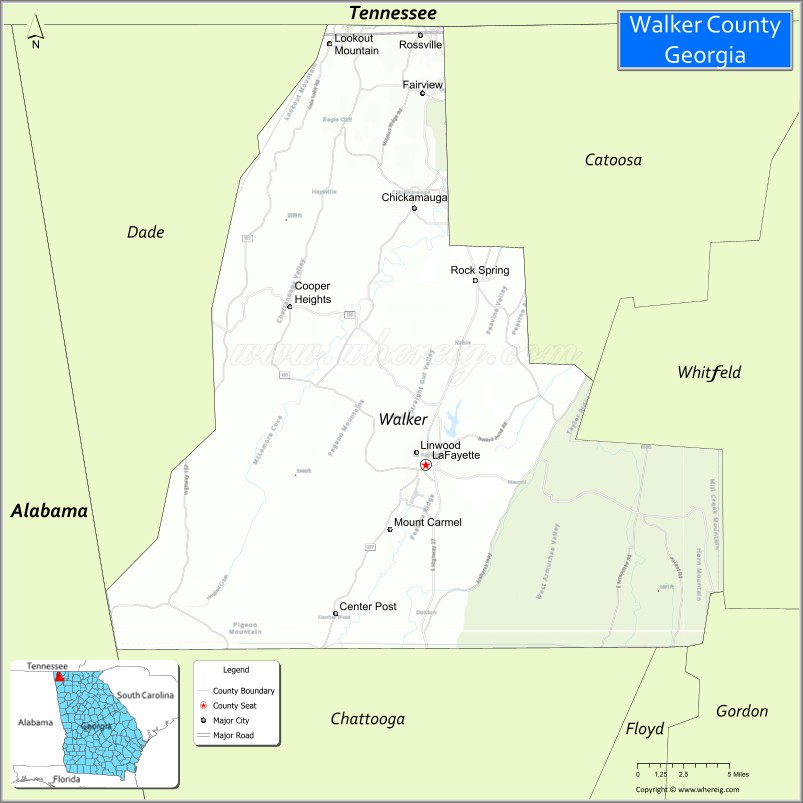
Adjacent counties
- Hamilton County, Tennessee – north
- Catoosa County – northeast
- Whitfield County – east
- Gordon County – southeast
- Floyd County – south
- Chattooga County – south
- DeKalb County, Alabama – southwest/CST Border
- Dade County – west
Natural attractions and features
- Chattahoochee National Forest (part)
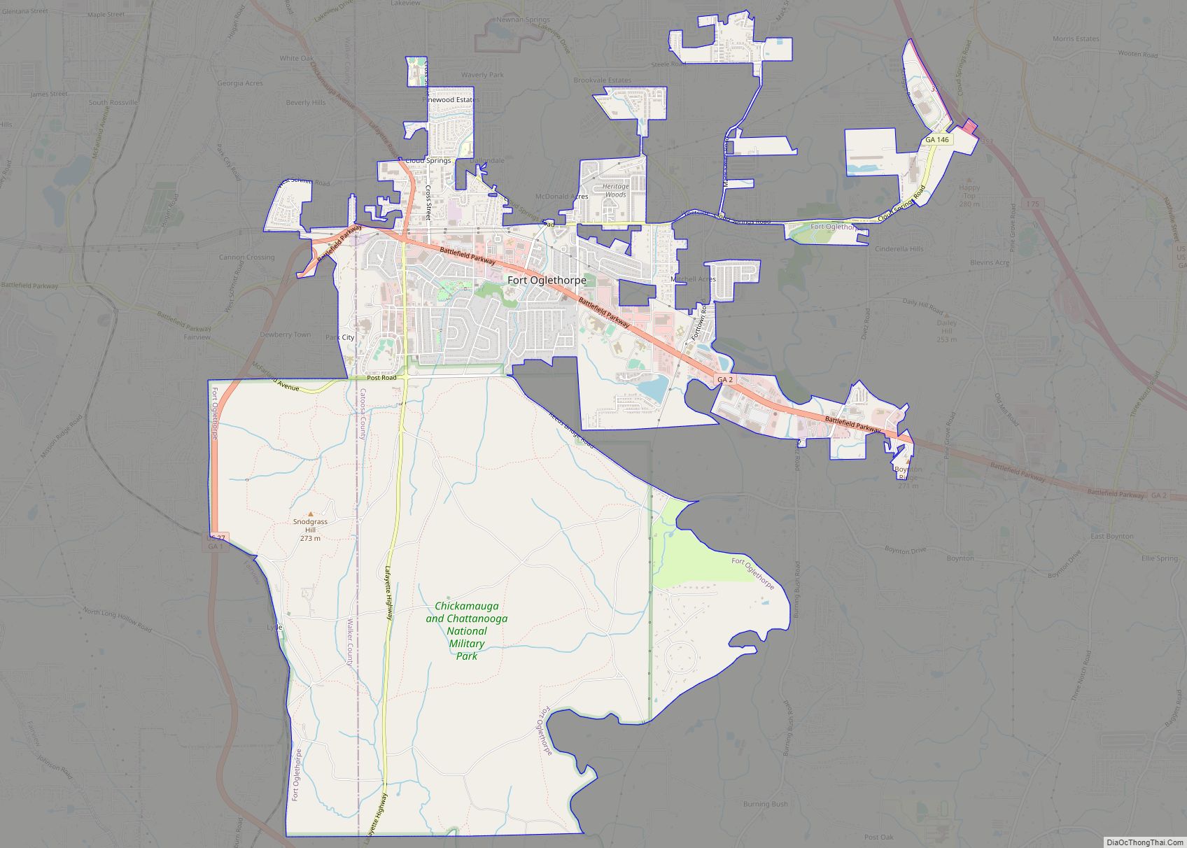
- Chickamauga and Chattanooga National Military Park (part)
- Ellison’s Cave (12th deepest cave in the United States)
- Lookout Mountain (part)
- McLemore Cove
- Petty John’s Cave
- Pigeon Mountain
- Rocktown
- Rock City
- Lula Lake Land Trust
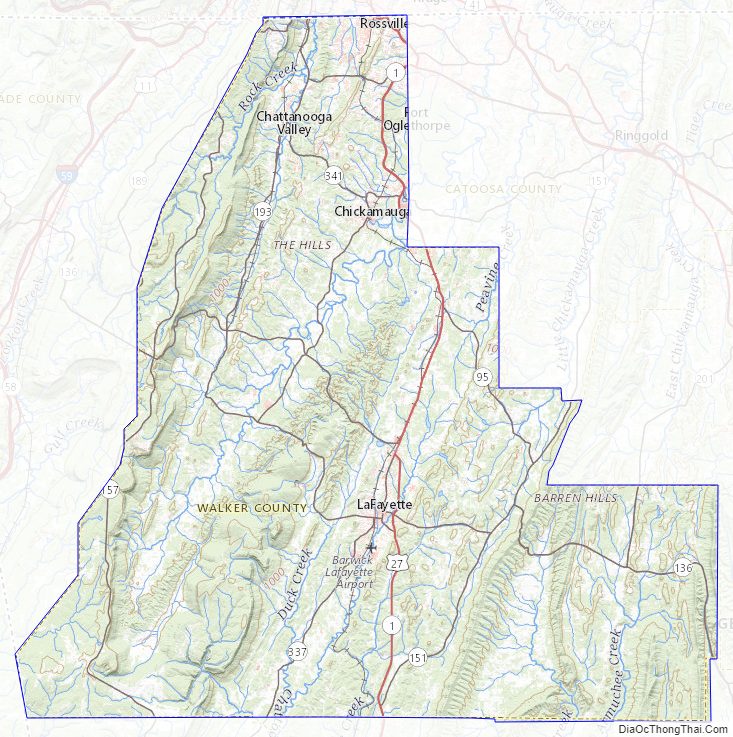
Walker County Topographic Map
Walker County Satellite Map
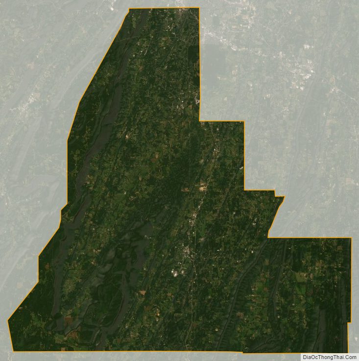
Walker County Outline Map