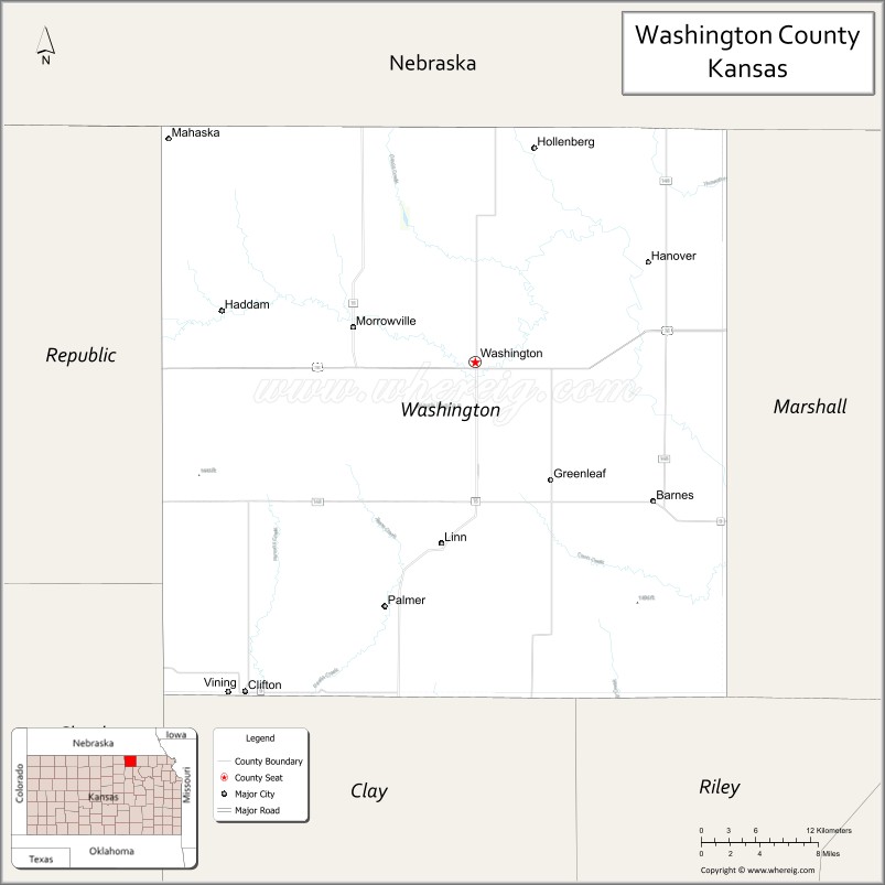
Washington County (standard abbreviation: WS) is a county located in the U.S. state of Kansas. As of the 2020 census, the county population was 5,530. Its county seat and largest city is Washington.
| Name: | Washington County |
|---|---|
| FIPS code: | 20-201 |
| State: | Kansas |
| Founded: | February 20, 1857 |
| Named for: | George Washington |
| Seat: | Washington |
| Largest city: | Washington |
| Total Area: | 899 sq mi (2,330 km²) |
| Land Area: | 895 sq mi (2,320 km²) |
| Total Population: | 5,530 |
| Population Density: | 6.2/sq mi (2.4/km²) |
| Time zone: | UTC−6 (Central) |
| Summer Time Zone (DST): | UTC−5 (CDT) |
| Website: | WashingtonCountyKS.gov |
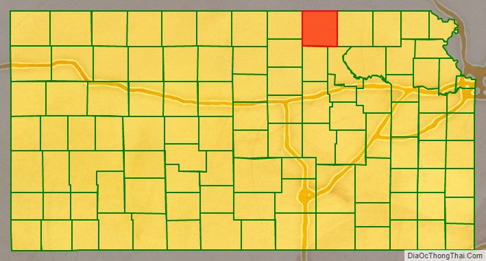
Washington County location map. Where is Washington County?

History
Early history
For millennia, the Great Plains of North America was inhabited by nomadic Native Americans. Numerous tribes lived on the Great Plains including the: Arapaho, Cheyenne, Comanche, Sioux, Ute, Otoe, Kansa, Kiowa, Osage, Omaha, Ponca, Pawnee, and Wichita. These tribes were sustained by a seemingly inexhaustible supply of buffalo that then numbered in the tens of millions.
From the 16th century to 18th century, the Kingdom of France claimed ownership of large parts of North America. In 1762, after the French and Indian War, France secretly ceded New France to Spain, per the Treaty of Fontainebleau.
19th century
In 1802, Spain returned most of the land to France, but keeping title to about 7,500 square miles. In 1803, most of the land for modern day Kansas was acquired by the United States from France as part of the 828,000 square mile Louisiana Purchase for 2.83 cents per acre.
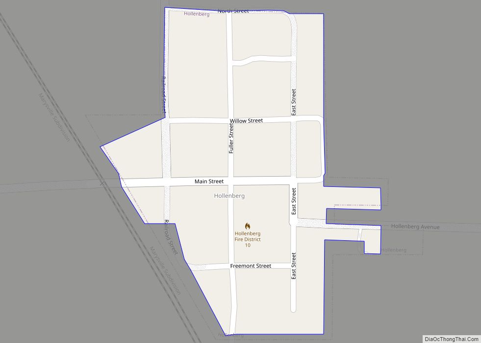
In 1854, the Kansas Territory was organized, then in 1861 Kansas became the 34th U.S. state. In 1857, Washington County was established. The Oregon-California Trail, the Overland Stage Line, and the Pony Express all ran through Washington County. The Hollenberg Way Station opened in 1857 and operated until 1872 in the northeast corner of the county.
21st century
In 2010, the Keystone-Cushing Pipeline (Phase II) was constructed north to south through Washington County, with much concern over tax exemption and environmental issues when a leak occurs. The pipeline was shutdown on December 7, 2022, after a leak was detected near the community of Washington. It reopened on December 29, 2022.
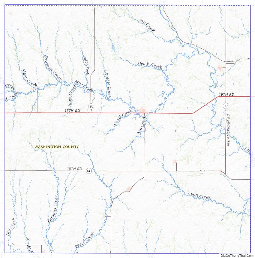
Washington County Road Map
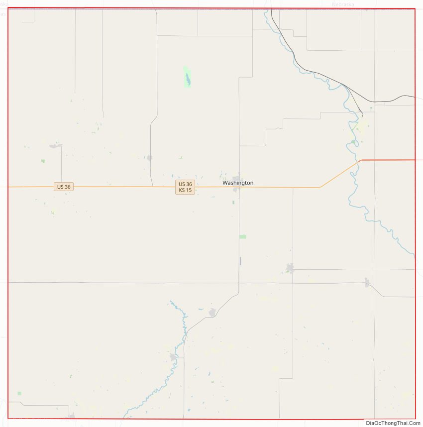
Geography
According to the U.S. Census Bureau, the county has a total area of 899 square miles (2,330 km), of which 895 square miles (2,320 km) is land and 3.9 square miles (10 km) (0.4%) is water.
Adjacent counties
- Jefferson County, Nebraska (north)
- Gage County, Nebraska (northeast)
- Marshall County (east)
- Riley County (southeast)
- Clay County (south)
- Cloud County (southwest)
- Republic County (west)
- Thayer County, Nebraska (northwest)
Washington County Topographic Map
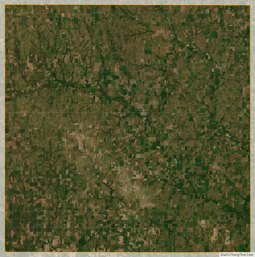
Washington County Satellite Map
Washington County Outline Map