Webster County is a county located in the U.S. state of Missouri. As of the 2010 census, the population was 36,202. Its county seat is Marshfield. The county was organized in 1855 and named for U.S. Senator and U.S. Secretary of State Daniel Webster.
Webster County is part of the Springfield, MO Metropolitan Statistical Area.
| Name: | Webster County |
|---|---|
| FIPS code: | 29-225 |
| State: | Missouri |
| Founded: | March 3, 1854 |
| Named for: | Daniel Webster |
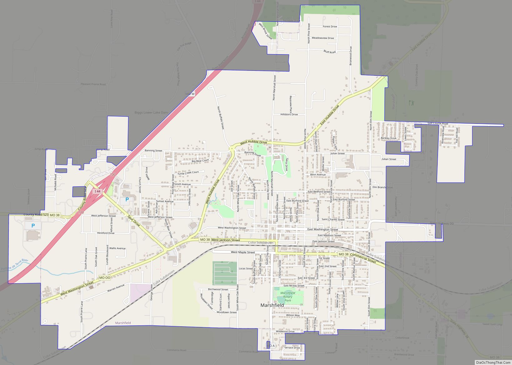
| Seat: | Marshfield |
| Largest city: | Marshfield |
| Total Area: | 594 sq mi (1,540 km²) |
| Land Area: | 593 sq mi (1,540 km²) |
| Total Population: | 36,202 |
| Population Density: | 67/sq mi (26/km²) |
| Time zone: | UTC−6 (Central) |
| Summer Time Zone (DST): | UTC−5 (CDT) |
| Website: | www.webstercountymo.gov |
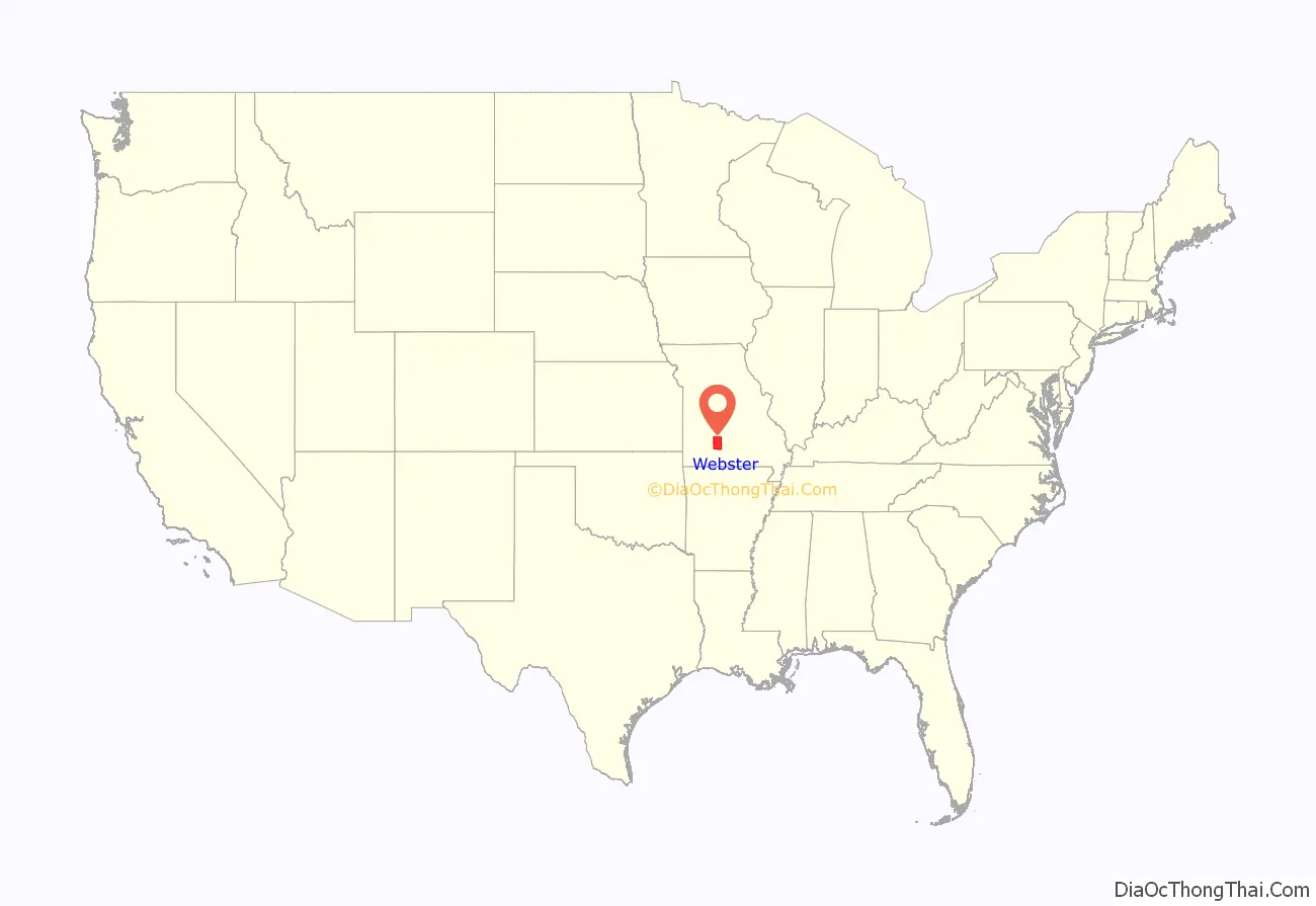
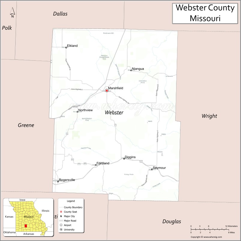
Webster County location map. Where is Webster County?
History
Webster County was organized on March 3, 1855, and encompasses some of the highest extensive upland area of Missouri’s Ozarks. The judicial seat is Marshfield, which lies 1,490 feet above sea level. Webster County is the highest county seat in the state of Missouri. Pioneer Legislator John F. McMahan named the county and county seat for Daniel Webster, and his Marshfield, Massachusetts home.
Marshfield was laid out in 1856 by R.H. Pitts, on land that was given by C.F. Dryden and W.T. and B.F.T. Burford. Until a courthouse was built, the county business was conducted at Hazelwood where Joseph W. McClurg, later Governor of Missouri, operated a general store. Today’s Carthage Marble courthouse was built in 1939-1941 and is the county’s third.
During the U.S. Civil War, a small force of pro-Southern troops was driven out of Marshfield in February 1862, and ten months later a body of Confederates was routed east of town. On January 9, 1863, General Joseph O. Shelby’s troops burned the stoutly built Union fortification at Marshfield and at Sand Springs, evacuated earlier. By 1862, the telegraph line passed near Marshfield on a route later called the “Old Wire Road”.
A part of the 1808 Osage Native American land cession, the county was settled in the early 1830s by pioneers from Kentucky and Tennessee. A Native American trail crossed southern Webster County and many prehistoric mounds are in the area.
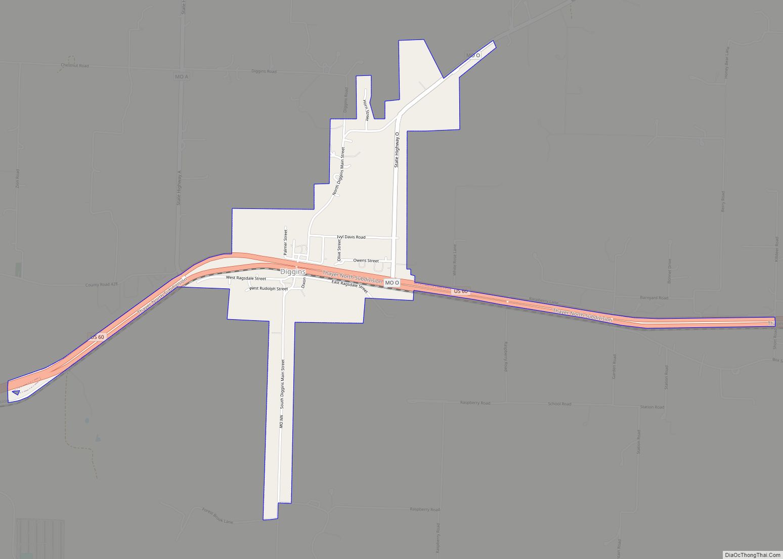
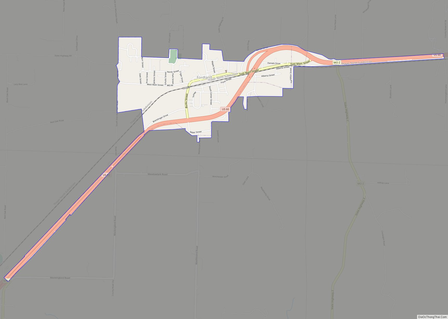
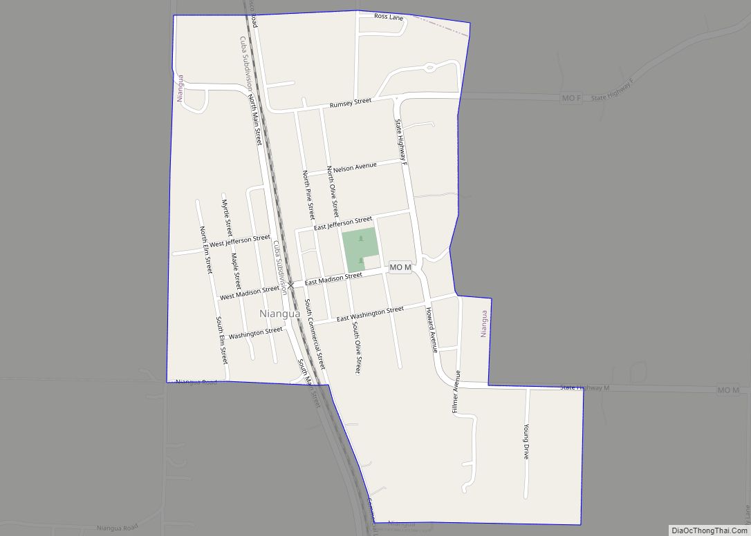
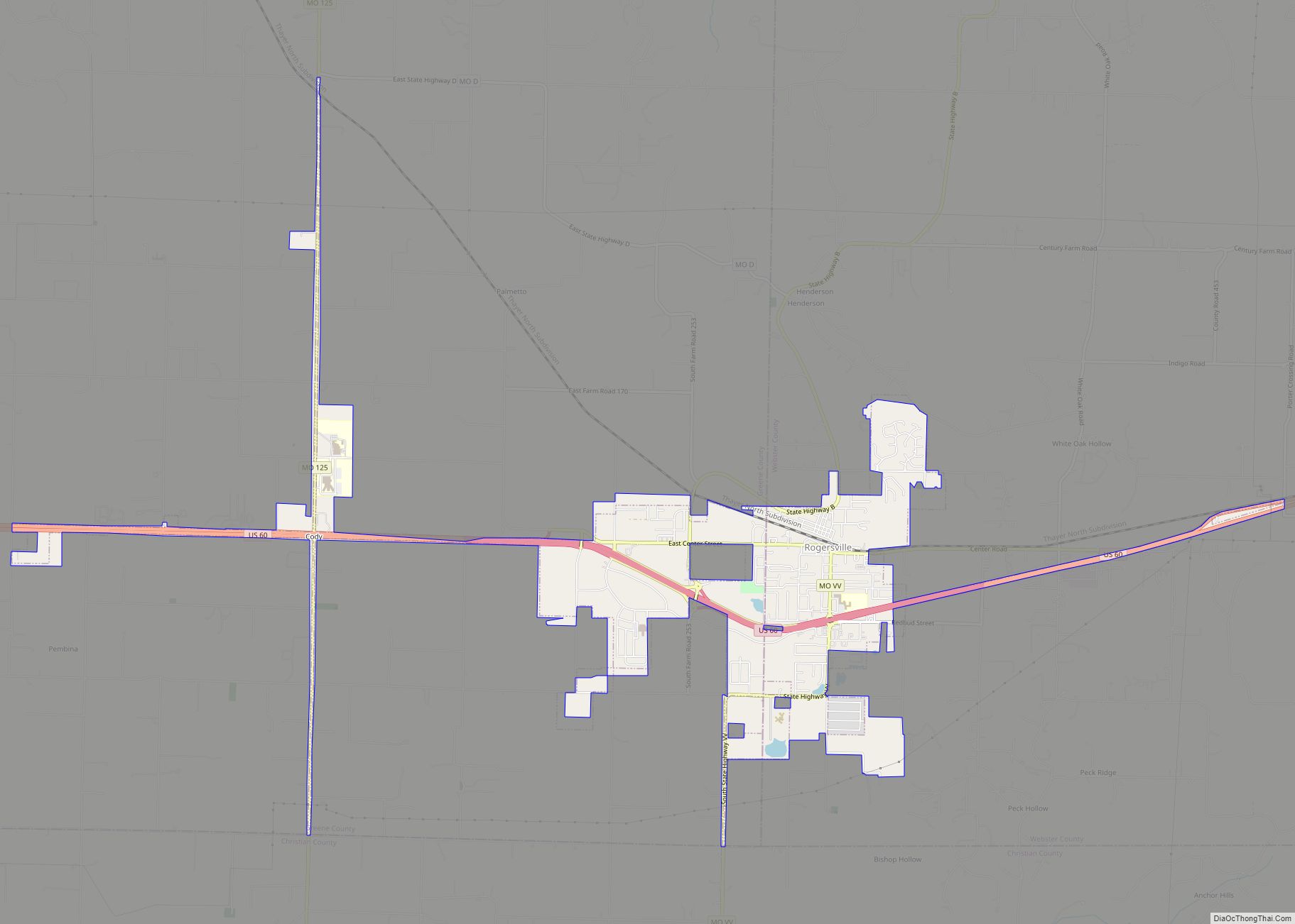
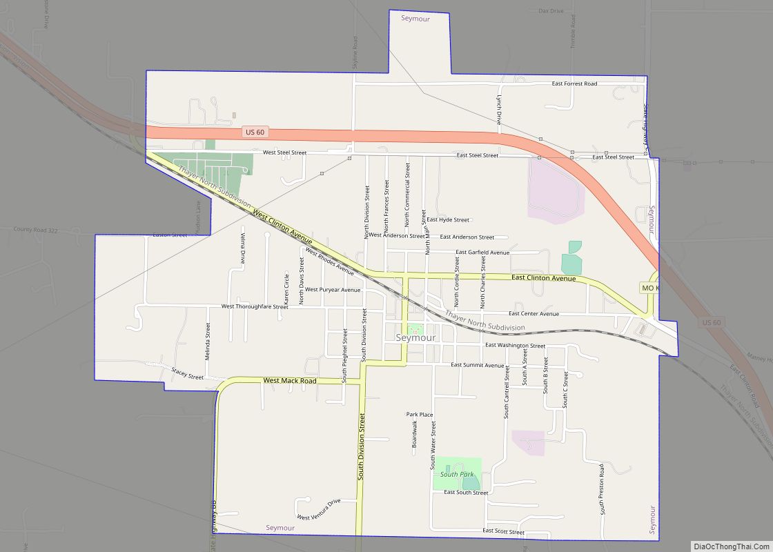
The railroad-building boom of the post Civil War period stimulated the county’s growth as a dairy, poultry, and livestock producer. The Atlantic & Pacific (Frisco) Railroad was built through Marshfield in 1872, and by 1883 the Kansas City, Springfield, and Memphis (Frisco) crossed the county. Seymour, Rogersville, Fordland and Niangua grew up along the railroad routes.
Early schools in the county were Marshfield Academy, chartered in 1860; Mt. Dale Academy, opened in 1873; and Henderson Academy, chartered in 1879.
On April 18, 1880, an intense tornado measuring F4 on the Fujita scale struck Marshfield. Its damage path was 800 yards (730 m) wide and 64 miles (103 km) long. The tornado killed 99 people and injured 100, and it is said that 10% of Marshfield’s residents were killed and all but 15 of its buildings were destroyed. The composition “Marshfield Cyclone” by the African-American musician John W. (Blind) Boone gave wide publicity to the cyclone, which is still listed as one of the top ten natural disasters in the history of the nation.
Astronomer Edwin P. Hubble (1889–1953) was born in Marshfield and attended through the third grade in the public school system. A replica of the Hubble telescope sits in the courthouse yard and the Marshfield stretch of I-44 was named in his honor.
Marshfield holds claim to the oldest Independence Day parade west of the Mississippi River. Former President George Herbert Walker Bush and wife Barbara visited the parade on July 4, 1991, while campaigning for the presidency through Missouri. Webster County also boasts the longest continuous county fair in the state of Missouri.
The annual Seymour Apple Festival, established in 1973, has grown to one of Missouri’s largest free celebrations, with estimated crowds of more than 30,000 congregating on the Seymour public square each second weekend of September. The festival pays tribute to Seymour’s apple industry, which began in the 1840s, with Seymour being called “The Land Of The Big Red Apple” around the turn of the 20th century, when Webster County produced more than 50 percent of the state’s apple crop.
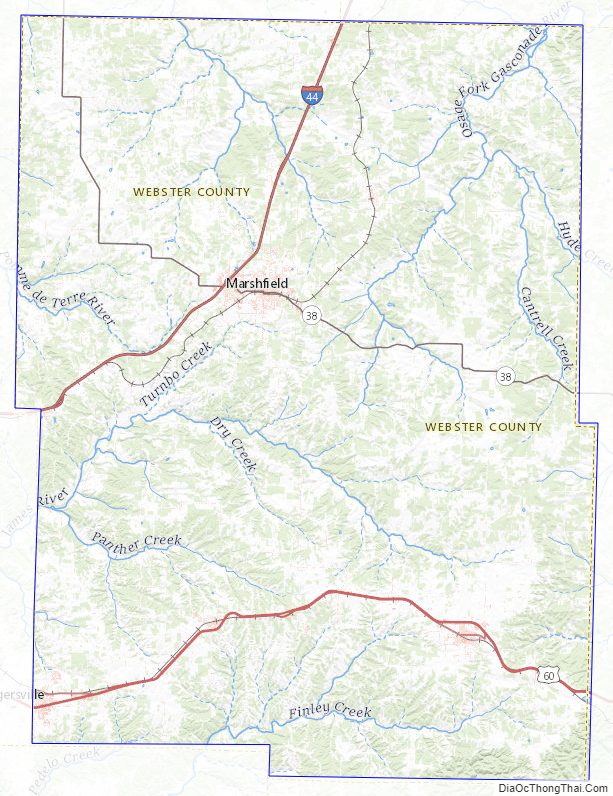
Webster County Road Map
Geography
Webster County straddles the drainage divide between the Missouri and White rivers and the headwaters of the James, Niangua, Gasconade, and Pomme de Terre rivers arise in Webster County.
According to the U.S. Census Bureau, the county has a total area of 594 square miles (1,540 km), of which 593 square miles (1,540 km) is land and 1.2 square miles (3.1 km) (0.2%) is water.
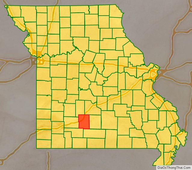
Adjacent counties
- Dallas County (northwest)
- Laclede County (northeast)
- Wright County (east)
- Douglas County (southeast)
- Christian County (southwest)
- Greene County (west)
Major highways
- Interstate 44
- U.S. Route 60
- Route 38
Webster County Topographic Map
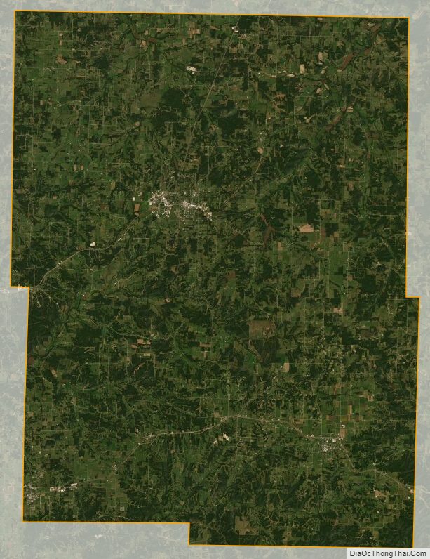
Webster County Satellite Map
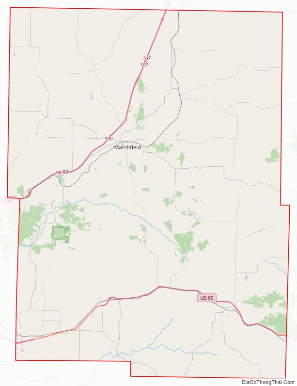
Webster County Outline Map