Marshfield is a city in Missouri and the county seat of Webster County, Missouri. As of the 2010 census, the city population was 6,633. As of the 2020 census, Marshfield had a population of 7,458. It is part of the Springfield, Missouri, metropolitan area.
| Name: | Marshfield city |
|---|---|
| LSAD Code: | 25 |
| LSAD Description: | city (suffix) |
| State: | Missouri |
| County: | Webster County |
| Founded: | 1855 |
| Incorporated: | 1856 |
| Elevation: | 1,493 ft (455 m) |
| Total Area: | 5.53 sq mi (14.33 km²) |
| Land Area: | 5.52 sq mi (14.30 km²) |
| Water Area: | 0.01 sq mi (0.03 km²) |
| Total Population: | 7,458 |
| Population Density: | 1,350.84/sq mi (521.60/km²) |
| ZIP code: | 65706 |
| Area code: | 417 |
| FIPS code: | 2946388 |
| GNISfeature ID: | 0721909 |
| Website: | marshfieldmo.gov |
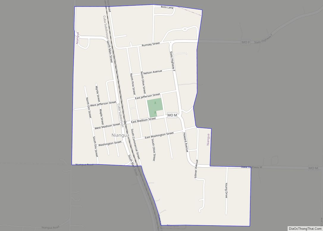
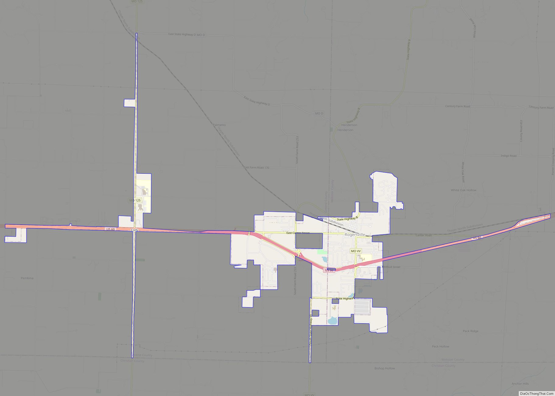
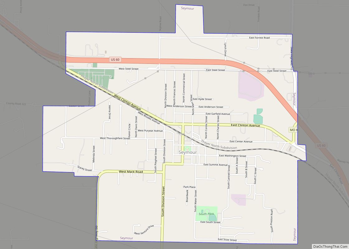
Online Interactive Map
Click on ![]() to view map in "full screen" mode.
to view map in "full screen" mode.
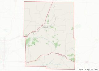
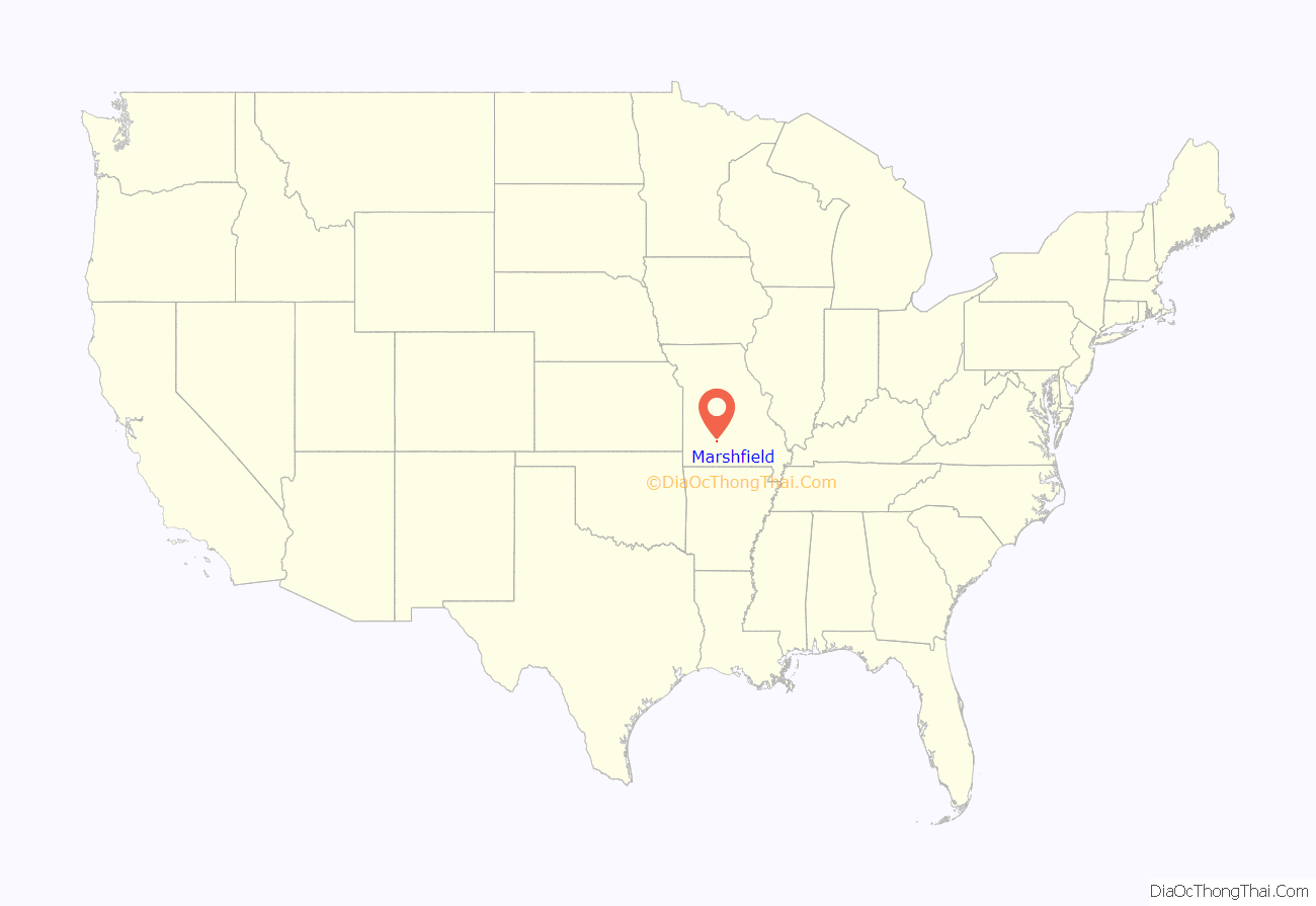
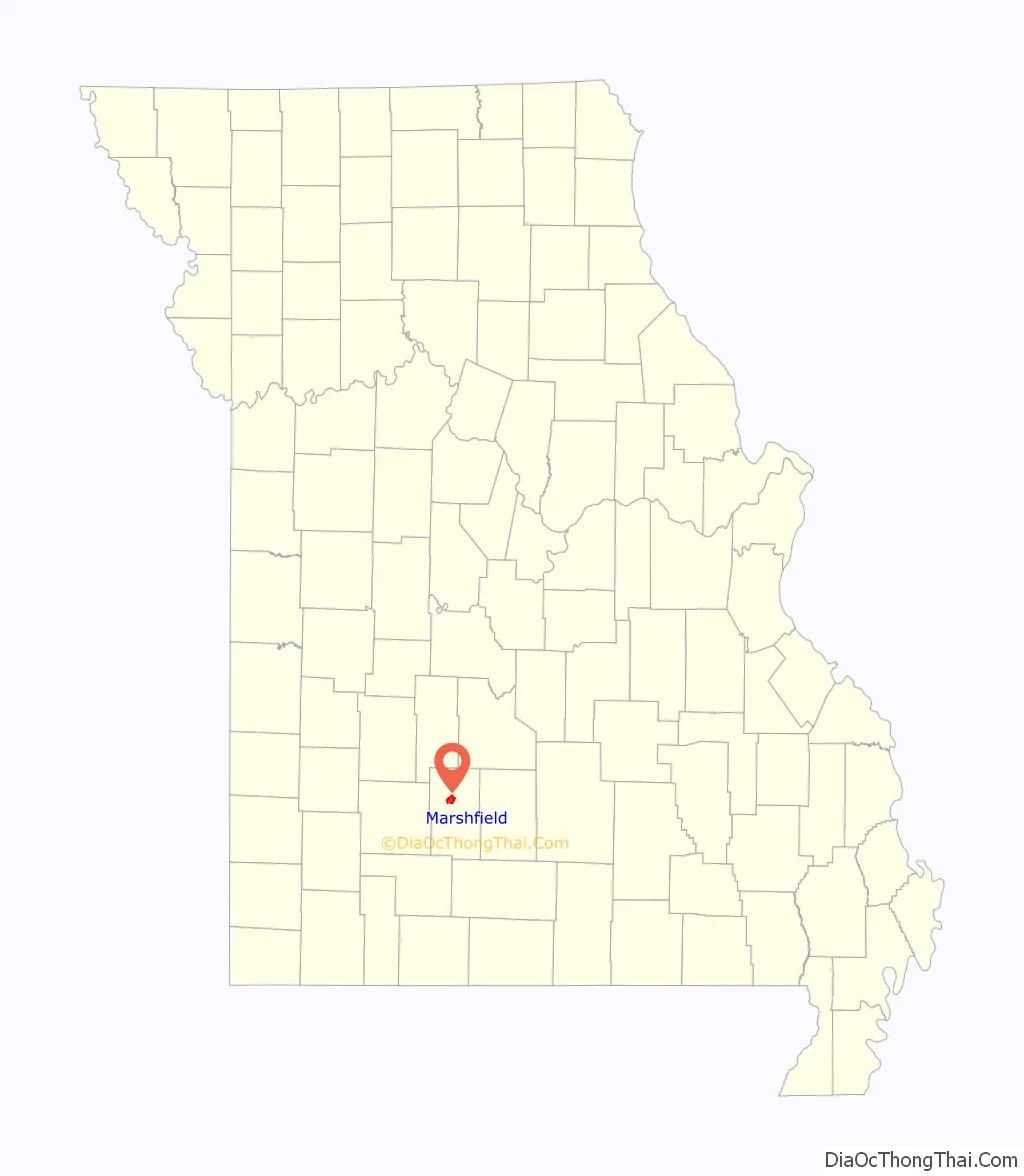
Marshfield location map. Where is Marshfield city?
History
Marshfield was platted in 1855, taking its name from Marshfield, Massachusetts. A post office called Marshfield has been in operation since 1856. The county seat was donated by William T. Burford.
The Hosmer Dairy Farm Historic District and Rainey Funeral Home Building are listed on the National Register of Historic Places.
Marshfield is home to the only intersection of the TransAmerica Bicycle Trail and U.S. Route 66.
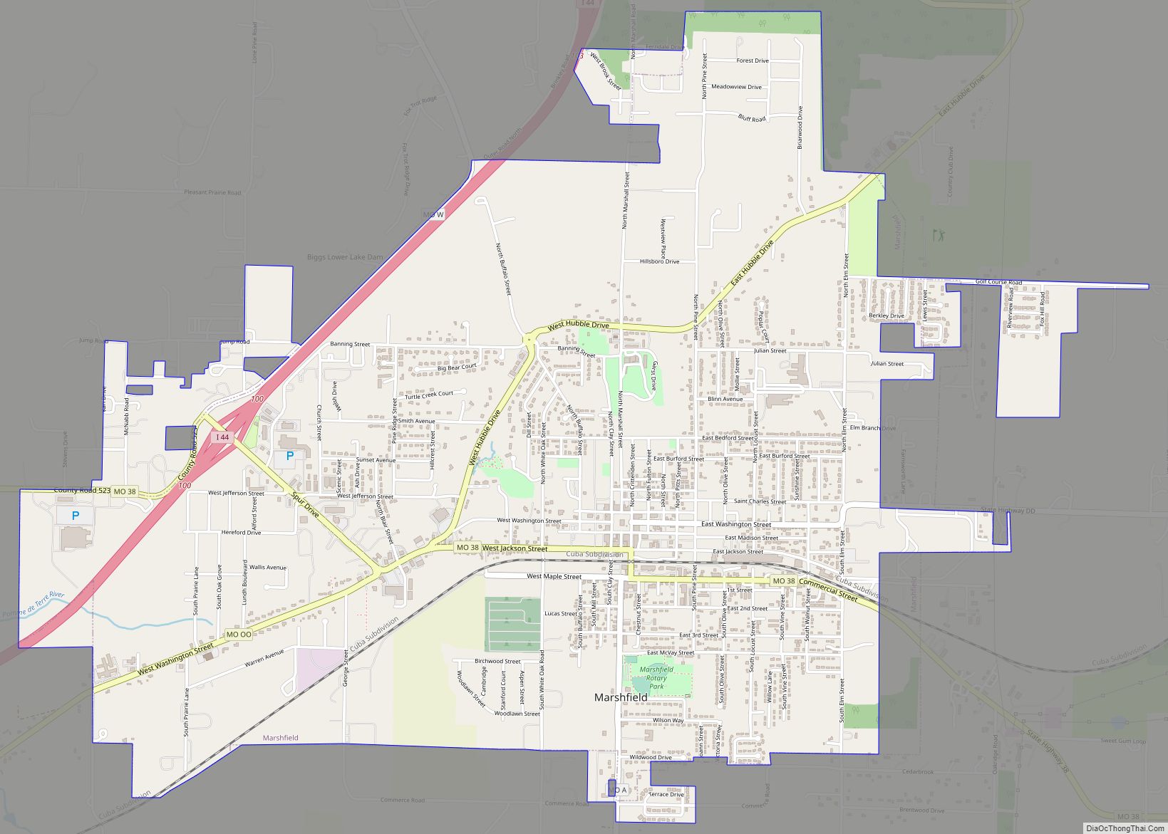
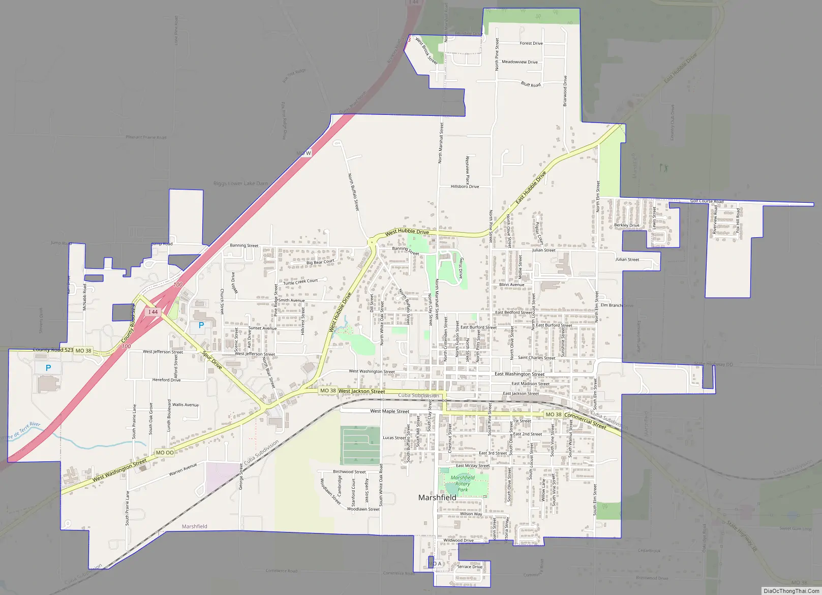
Marshfield Road Map
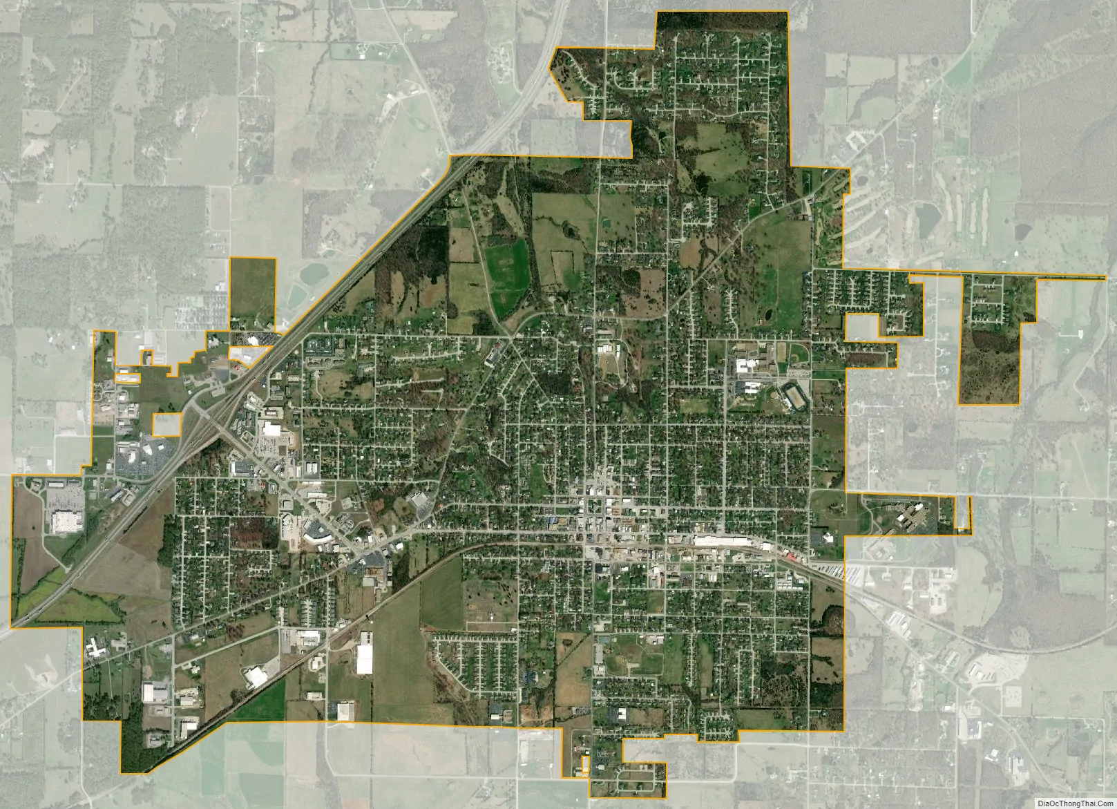
Marshfield city Satellite Map
Geography
Marshfield is located at 37°20′23″N 92°54′26″W / 37.33972°N 92.90722°W / 37.33972; -92.90722 (37.339599, -92.907230). According to the United States Census Bureau, the city has a total area of 5.03 square miles (13.03 km), all land.
Climate
Marshfield has a humid subtropical climate (Köppen climate classification Cfa), with elements of a humid continental climate. The city experiences four distinct seasons; summers are warm and humid, while winters are cool with occasional cold spells. Rainfall is highest in the late spring. Snowfall is generally light, with an average of 5.2 inches (13 cm).
See also
Map of Missouri State and its subdivision:- Adair
- Andrew
- Atchison
- Audrain
- Barry
- Barton
- Bates
- Benton
- Bollinger
- Boone
- Buchanan
- Butler
- Caldwell
- Callaway
- Camden
- Cape Girardeau
- Carroll
- Carter
- Cass
- Cedar
- Chariton
- Christian
- Clark
- Clay
- Clinton
- Cole
- Cooper
- Crawford
- Dade
- Dallas
- Daviess
- De Kalb
- Dent
- Douglas
- Dunklin
- Franklin
- Gasconade
- Gentry
- Greene
- Grundy
- Harrison
- Henry
- Hickory
- Holt
- Howard
- Howell
- Iron
- Jackson
- Jasper
- Jefferson
- Johnson
- Knox
- Laclede
- Lafayette
- Lawrence
- Lewis
- Lincoln
- Linn
- Livingston
- Macon
- Madison
- Maries
- Marion
- McDonald
- Mercer
- Miller
- Mississippi
- Moniteau
- Monroe
- Montgomery
- Morgan
- New Madrid
- Newton
- Nodaway
- Oregon
- Osage
- Ozark
- Pemiscot
- Perry
- Pettis
- Phelps
- Pike
- Platte
- Polk
- Pulaski
- Putnam
- Ralls
- Randolph
- Ray
- Reynolds
- Ripley
- Saint Charles
- Saint Clair
- Saint Francois
- Saint Louis
- Sainte Genevieve
- Saline
- Schuyler
- Scotland
- Scott
- Shannon
- Shelby
- Stoddard
- Stone
- Sullivan
- Taney
- Texas
- Vernon
- Warren
- Washington
- Wayne
- Webster
- Worth
- Wright
- Alabama
- Alaska
- Arizona
- Arkansas
- California
- Colorado
- Connecticut
- Delaware
- District of Columbia
- Florida
- Georgia
- Hawaii
- Idaho
- Illinois
- Indiana
- Iowa
- Kansas
- Kentucky
- Louisiana
- Maine
- Maryland
- Massachusetts
- Michigan
- Minnesota
- Mississippi
- Missouri
- Montana
- Nebraska
- Nevada
- New Hampshire
- New Jersey
- New Mexico
- New York
- North Carolina
- North Dakota
- Ohio
- Oklahoma
- Oregon
- Pennsylvania
- Rhode Island
- South Carolina
- South Dakota
- Tennessee
- Texas
- Utah
- Vermont
- Virginia
- Washington
- West Virginia
- Wisconsin
- Wyoming