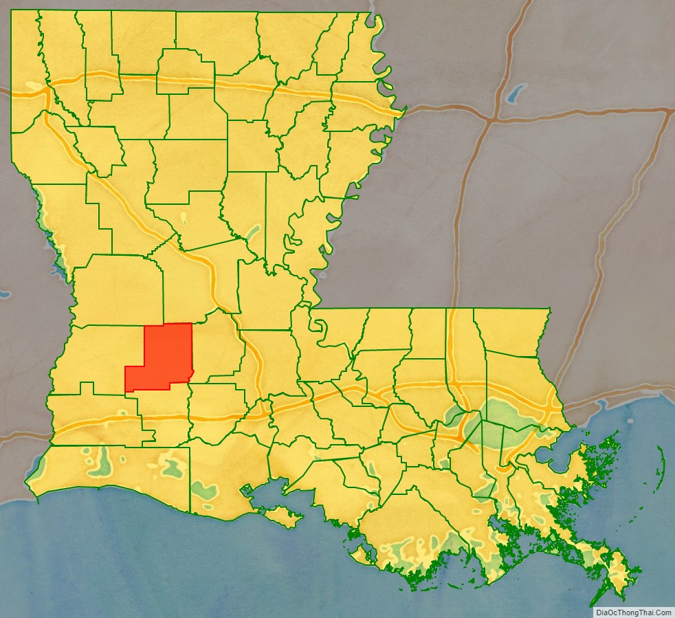
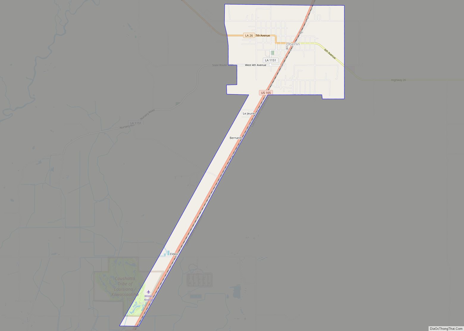
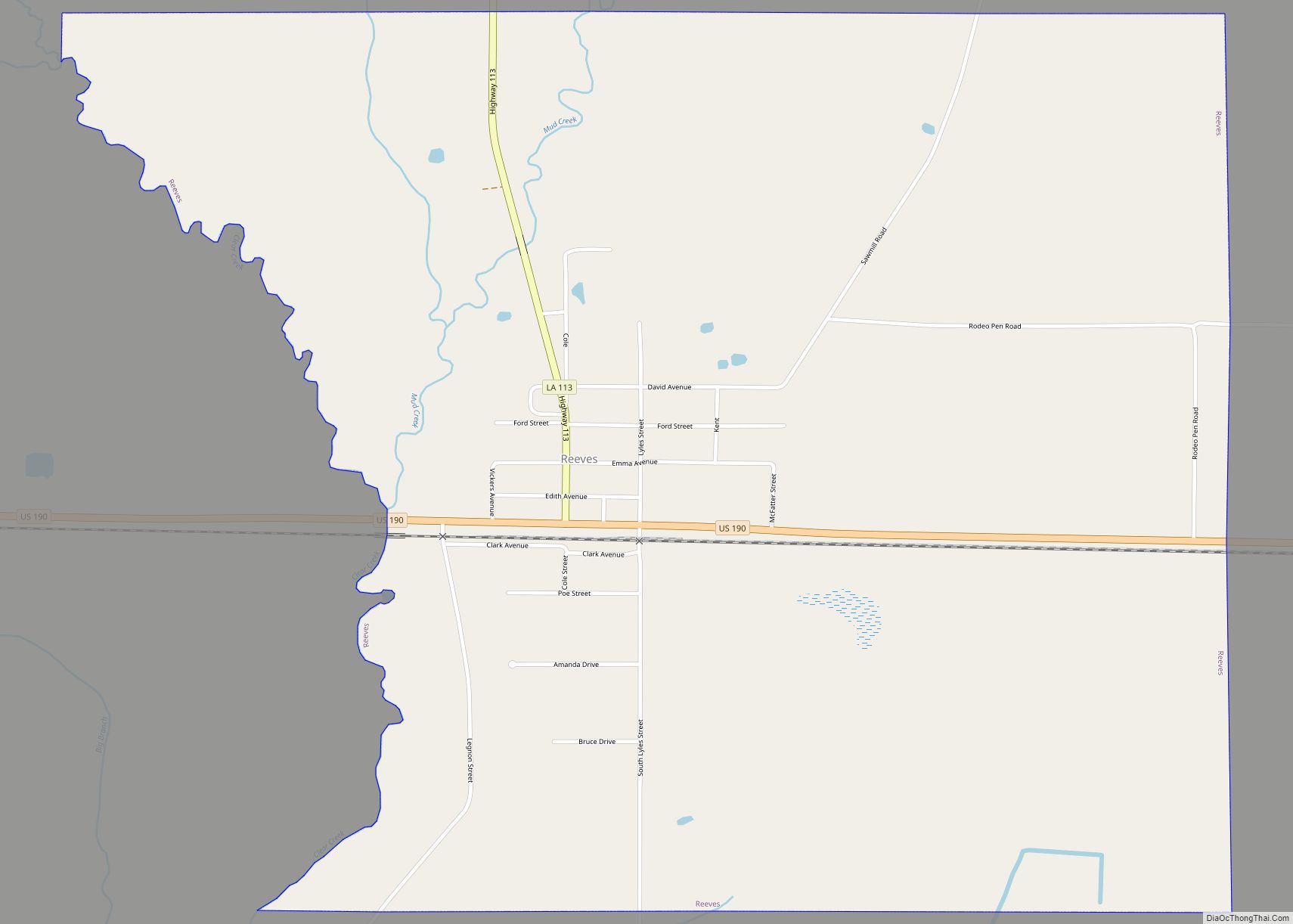
Allen Parish (French: Paroisse d’Allen) is a parish located in the U.S. state of Louisiana. As of the 2020 census, the population was 22,750. The parish seat is Oberlin and the largest city is Oakdale. Allen Parish is in southwestern Louisiana, southwest of Alexandria.
Allen Parish is named for former Confederate States Army general and Governor of Louisiana Henry Watkins Allen. It was separated in 1912 from the larger Calcasieu Parish to the southwest.
| Name: | Allen Parish |
|---|---|
| FIPS code: | 22-003 |
| State: | Louisiana |
| Founded: | 1912 |
| Named for: | Henry Watkins Allen |
| Seat: | Oberlin |
| Largest city: | Oakdale |
| Total Area: | 766 sq mi (1,980 km²) |
| Land Area: | 762 sq mi (1,970 km²) |
| Total Population: | 22,750 |
| Population Density: | 30/sq mi (11/km²) |
| Time zone: | UTC−6 (Central) |
| Summer Time Zone (DST): | UTC−5 (CDT) |
| Website: | www.allenparish.com |
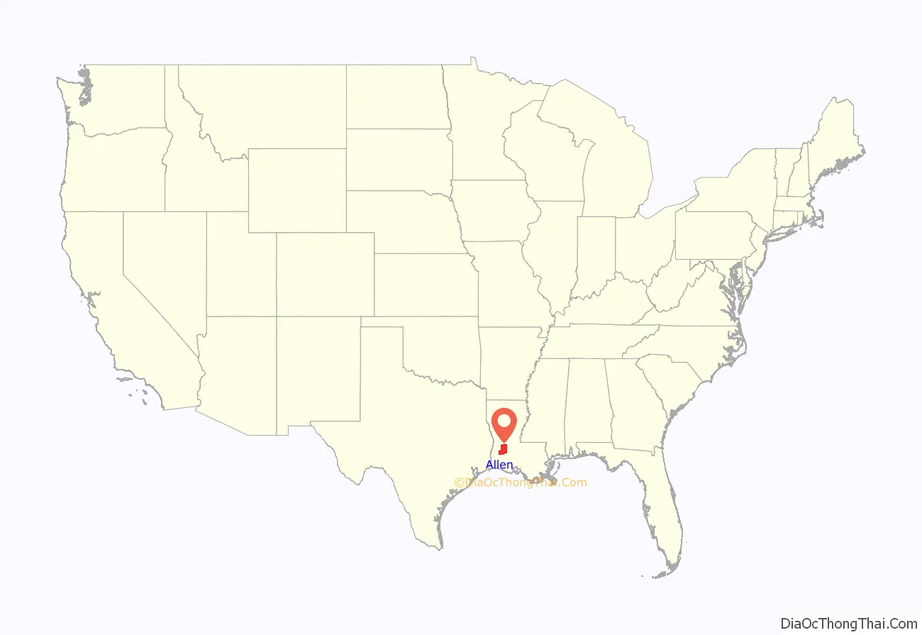
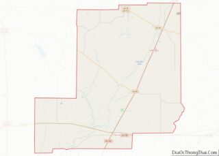
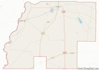
Allen Parish location map. Where is Allen Parish?
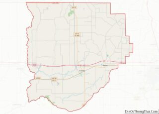
Allen Parish Road Map
Geography
According to the U.S. Census Bureau, the parish has a total area of 766 square miles (1,980 km), of which 762 square miles (1,970 km) is land and 4.1 square miles (11 km) (0.5%) is water.
Major highways
- U.S. Highway 165
- U.S. Highway 190
- Louisiana Highway 10
- Louisiana Highway 26
Adjacent parishes
- Vernon Parish (northwest)
- Rapides Parish (northeast)
- Evangeline Parish (east)
- Jefferson Davis Parish (south)
- Beauregard Parish (west)
Waterways
- Bundick Creek
- Calcasieu River
- Ouiski Chitto Creek
- Six Mile Creek
- Ten Mile Creek
