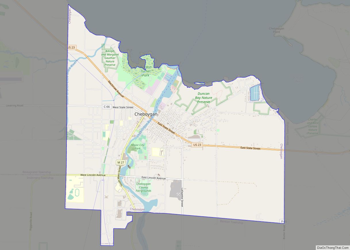
Cheboygan (/ʃəˈbɔɪɡən/ shə-BOY-gən) is a city in the U.S. state of Michigan. It is the county seat and largest settlement of Cheboygan County. At the 2020 census, Cheboygan had a population 4,770.
Cheboygan is situated upon Lake Huron, located at the mouth of the eponymous Cheboygan River. Cheboygan is the fourth-largest American city on Lake Huron, behind Bay City, Port Huron, and Alpena. Cheboygan is part of Northern Michigan, and is the northernmost city in Michigan’s Lower Peninsula. Directly north of Cheboygan is Bois Blanc Island (part of Mackinac County), which can be accessed via ferry from Cheboygan.
| Name: | Cheboygan city |
|---|---|
| LSAD Code: | 25 |
| LSAD Description: | city (suffix) |
| State: | Michigan |
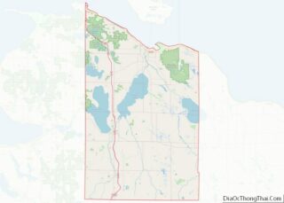
| County: | Cheboygan County |
| Elevation: | 591 ft (180 m) |
| Total Area: | 7.00 sq mi (18.12 km²) |
| Land Area: | 6.86 sq mi (17.78 km²) |
| Water Area: | 0.13 sq mi (0.34 km²) |
| Total Population: | 4,770 |
| Population Density: | 695.03/sq mi (268.35/km²) |
| Area code: | 231 |
| FIPS code: | 2615000 |
| GNISfeature ID: | 0623135 |
| Website: | www.cheboygan.org |
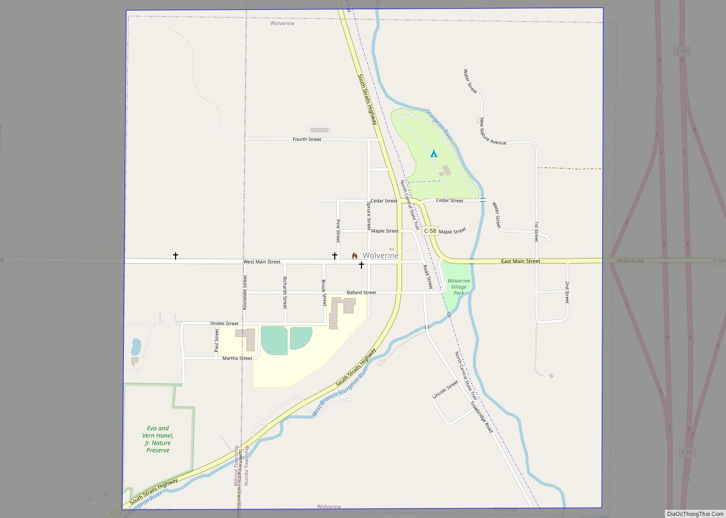
Online Interactive Map
Click on ![]() to view map in "full screen" mode.
to view map in "full screen" mode.
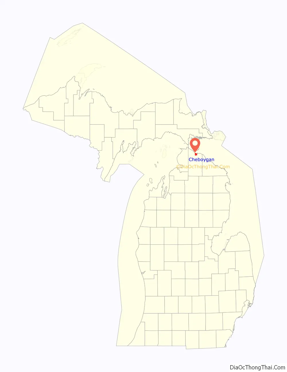
Cheboygan location map. Where is Cheboygan city?

History
Cheboygan was originally an Ojibwe settlement. In 1844, Jacob Sammons, a cooper from Fort Mackinac, chose the old native camping ground, known as Shabwegan, as the site for his cabin. He recruited other settlers, and a post office named “Duncan” was established in 1846. It was made the county seat in 1853.
Duncan or Duncan City was given a post office in 1850 as a result of the building of sawmills in this area. Duncan was made the county seat in 1853 and the location of the federal land office in 1855. The county seat shifted to Cheboygan in about 1870. Later Duncan was included within the expanded boundaries of Cheboygan.
The area became known as Cheboygan in 1870. It was incorporated as a village in 1871. Rail maps in 1876 show planned rail service for Cheboygan, but due to various setbacks, rail did not arrive there until 1881. There was a theater built in town in 1877.
Cheboygan was incorporated as a city in 1889.
In approximately 1890, Cheboygan became the home port for ferryboats to nearby Bois Blanc, an island in the Straits of Mackinac. The Kristen D is a ferry which operates between Cheboygan and Bois Blanc Island. Early in the 20th century, it was home to the pioneering brass era cyclecar maker, Flagler (de:Flagler Cyclecar).
In 1944, Cheboygan became the home port of the former U.S. Coast Guard cutter and icebreaker Mackinaw, serving from 1944 to 2006. Beginning in 2006, the port continued this role as the home dock of the new Mackinaw, a successor cutter.
Etymology
The name of the city shares the name of the county and probably has its origin from the Cheboygan River, although the precise meaning is no longer known. It may have come from an Ojibwe word zhaabonigan meaning “sewing needle”. Alternatively, the origin may have been “Chabwegan,” meaning “a place of ore.”
Cheboygan Road Map

Cheboygan city Satellite Map

Geography
According to the United States Census Bureau, the city has a total area of 7.00 square miles (18.13 km), of which 6.80 square miles (17.61 km) is land and 0.20 square miles (0.52 km) is water.
Climate
The climate is described as Humid Continental by the Köppen Climate System, abbreviated as Dfb
See also
Map of Michigan State and its subdivision:- Alcona
- Alger
- Allegan
- Alpena
- Antrim
- Arenac
- Baraga
- Barry
- Bay
- Benzie
- Berrien
- Branch
- Calhoun
- Cass
- Charlevoix
- Cheboygan
- Chippewa
- Clare
- Clinton
- Crawford
- Delta
- Dickinson
- Eaton
- Emmet
- Genesee
- Gladwin
- Gogebic
- Grand Traverse
- Gratiot
- Hillsdale
- Houghton
- Huron
- Ingham
- Ionia
- Iosco
- Iron
- Isabella
- Jackson
- Kalamazoo
- Kalkaska
- Kent
- Keweenaw
- Lake
- Lake Hurron
- Lake Michigan
- Lake St. Clair
- Lake Superior
- Lapeer
- Leelanau
- Lenawee
- Livingston
- Luce
- Mackinac
- Macomb
- Manistee
- Marquette
- Mason
- Mecosta
- Menominee
- Midland
- Missaukee
- Monroe
- Montcalm
- Montmorency
- Muskegon
- Newaygo
- Oakland
- Oceana
- Ogemaw
- Ontonagon
- Osceola
- Oscoda
- Otsego
- Ottawa
- Presque Isle
- Roscommon
- Saginaw
- Saint Clair
- Saint Joseph
- Sanilac
- Schoolcraft
- Shiawassee
- Tuscola
- Van Buren
- Washtenaw
- Wayne
- Wexford
- Alabama
- Alaska
- Arizona
- Arkansas
- California
- Colorado
- Connecticut
- Delaware
- District of Columbia
- Florida
- Georgia
- Hawaii
- Idaho
- Illinois
- Indiana
- Iowa
- Kansas
- Kentucky
- Louisiana
- Maine
- Maryland
- Massachusetts
- Michigan
- Minnesota
- Mississippi
- Missouri
- Montana
- Nebraska
- Nevada
- New Hampshire
- New Jersey
- New Mexico
- New York
- North Carolina
- North Dakota
- Ohio
- Oklahoma
- Oregon
- Pennsylvania
- Rhode Island
- South Carolina
- South Dakota
- Tennessee
- Texas
- Utah
- Vermont
- Virginia
- Washington
- West Virginia
- Wisconsin
- Wyoming