| Name: | Otsego County |
|---|---|
| FIPS code: | 26-137 |
| State: | Michigan |
| Founded: | 1840 |
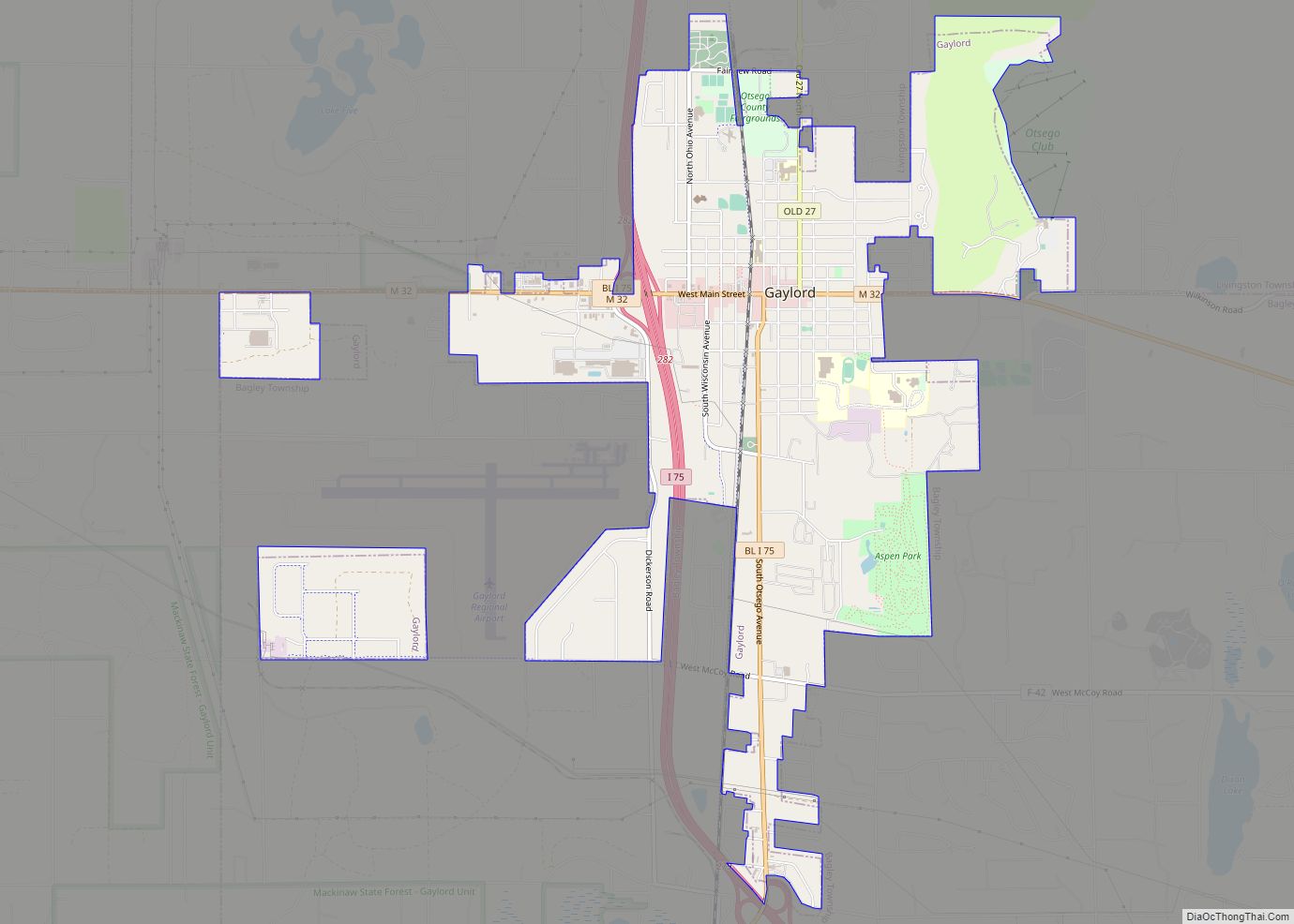
| Seat: | Gaylord |
| Largest city: | Gaylord |
| Total Area: | 526 sq mi (1,360 km²) |
| Land Area: | 514 sq mi (1,330 km²) |
| Total Population: | 25,091 |
| Population Density: | 47/sq mi (18/km²) |
| Time zone: | UTC−5 (Eastern) |
| Summer Time Zone (DST): | UTC−4 (EDT) |
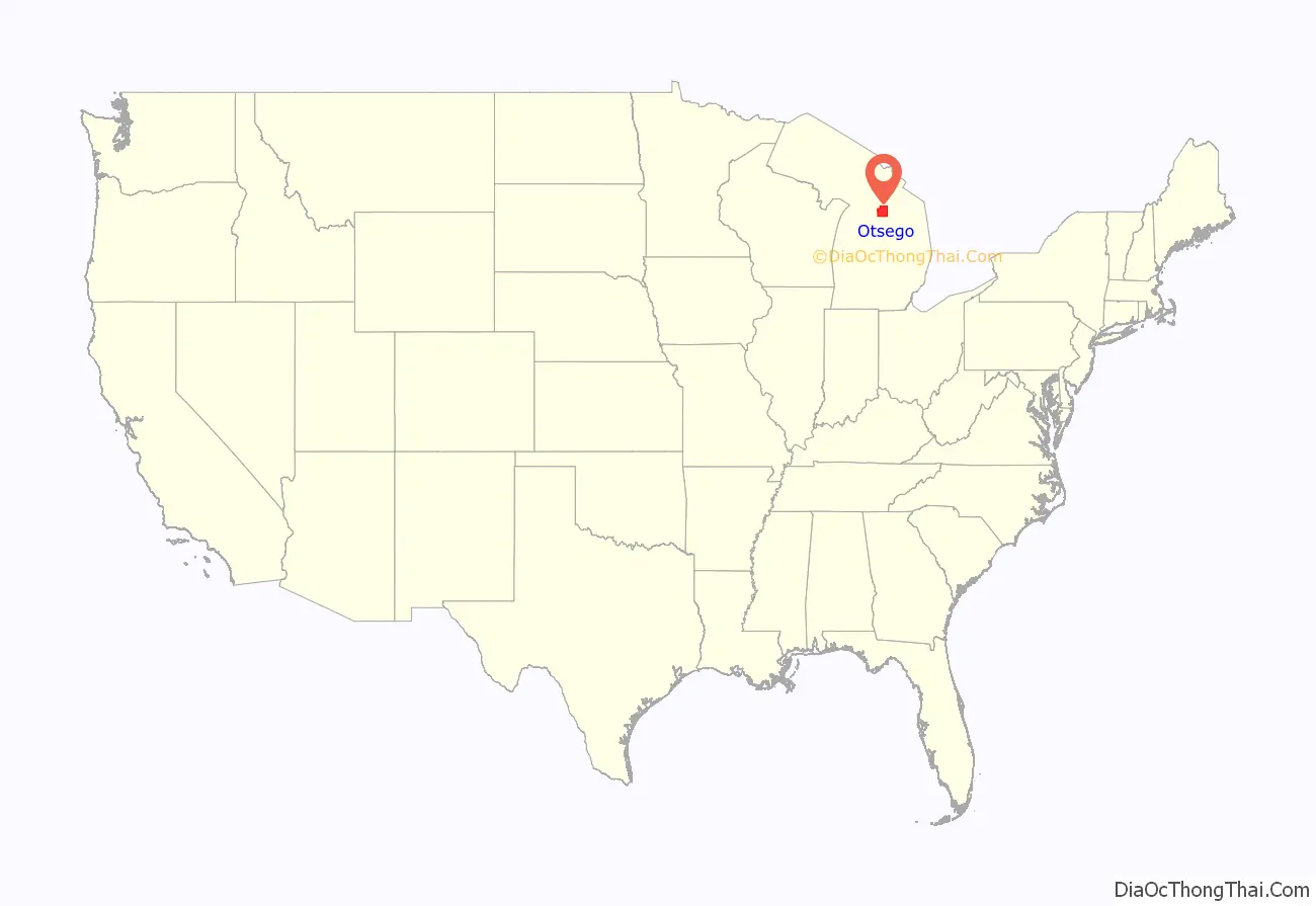
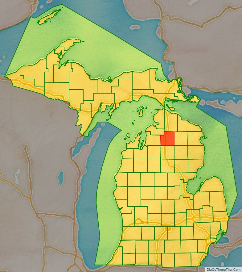
Otsego County location map. Where is Otsego County?
History
The county was created in 1840 as Okkuddo County (meaning “sickly water,” although the reason for using a name with such a negative meaning is lost). The name was changed to Otsego in 1843. It was organized in 1875. On May 20, 2022 an EF3 tornado stuck the county seat of Gaylord killing 2 and injuring 44 while causing major damage to the downtown business district and severely damaging a mobile home park.
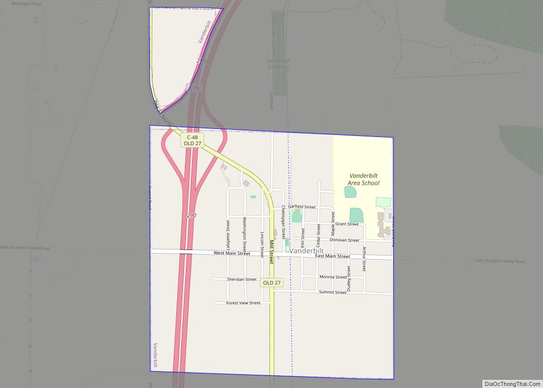
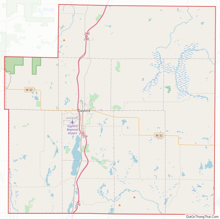
Otsego County Road Map
Geography
According to the United States Census Bureau, the county has a total area of 526 square miles (1,360 km), of which 515 square miles (1,330 km) is land and 11 square miles (28 km) (2.1%) is water. It is the fifth-smallest county by total area in Michigan. Although it is located on Michigan’s Lower Peninsula, Otsego County is considered to be part of Northern Michigan.
Otsego County has more than 370 lakes, mostly in the southern part of the county. Otsego Lake, is the county’s largest, and has a surface area of 1,972 acres (7.98 km). Other large lakes in the southern part of the county include Big Lake, Big Bear Lake, Buhl Lake, Crapo Lake, Dixon Lake, Douglas Lake, Guthrie Lake, Heart Lake, Lake Tecon, Manuka Lake, Opal Lake, Pencil Lake, and Turtle Lake. The larger lakes in the northern part of the county are Five Lakes, Hardwood Lake, Lake Twenty Seven, and Pickerel Lake. Many of these are so-called ‘kettle lakes,’ formed by the melting of blocks of glacial ice, left as the glacier retreated, which created a depression in the soil.
Glaciers shaped the area, creating a unique regional ecosystem. A large portion of the area is the Grayling outwash plain, a broad outwash plain including sandy ice-disintegration ridges; jack pine barrens, some white pine-red pine forest, and northern hardwood forest. Large lakes were created by glacial action.
Headwaters of the Au Sable, Black, Manistee, Pigeon, and Sturgeon Rivers are in Otsego County. The Au Sable River watershed is the county’s largest watershed.
Adjacent counties
- Cheboygan County – north
- Montmorency County – east
- Oscoda County – southeast
- Crawford County – south
- Kalkaska County – southwest
- Antrim County – west
- Charlevoix County – northwest
Otsego County Topographic Map
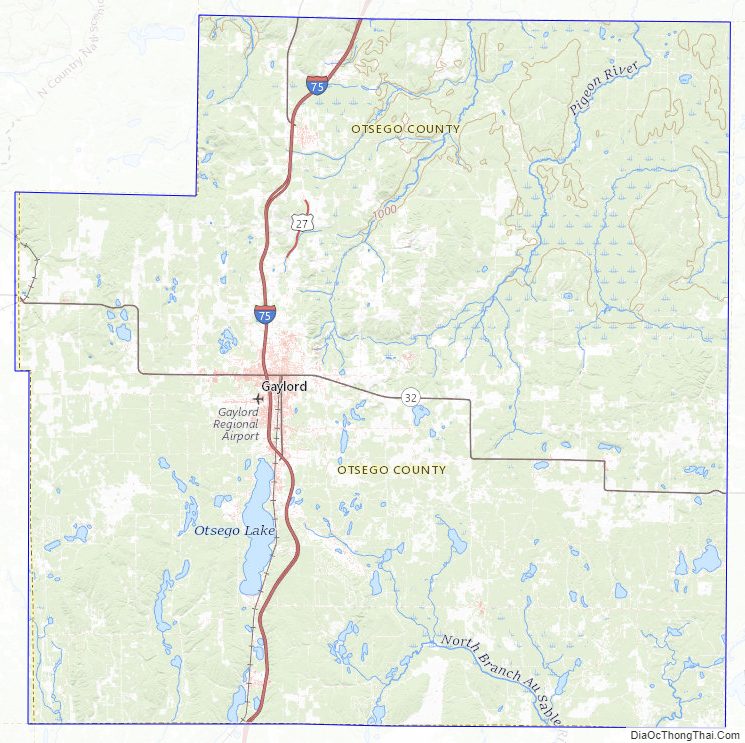
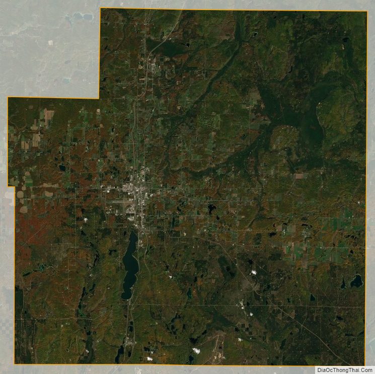
Otsego County Satellite Map
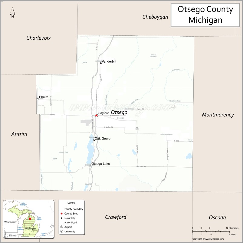
Otsego County Outline Map