Grand Traverse County (/ˈtrævərz/ TRAV-ərz) is a county located in the U.S. state of Michigan. As of the 2020 census, the population was 95,238, making it the largest county in Northern Michigan. Its county seat is Traverse City. The county is part of the Traverse City micropolitan area, which also includes neighboring Benzie, Kalkaska, and Leelanau counties.
Long a part of territory under the Council of Three Fires (comprising the Ojibwe, Odawa, and Potawatomi), Grand Traverse County’s first European settlement was established in 1839. It was originally created in 1840 as Omeena County, however it was reorganized in 1851 was Grand Traverse County. The county itself and Traverse City are named after Grand Traverse Bay, a bay of Lake Michigan.
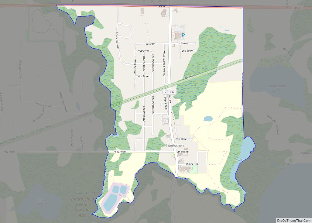
Interlochen Center for the Arts, a prestigious boarding school, is located within the county.
| Name: | Grand Traverse County |
|---|---|
| FIPS code: | 26-055 |
| State: | Michigan |
| Founded: | 1851 |
| Named for: | Grand Traverse Bay |
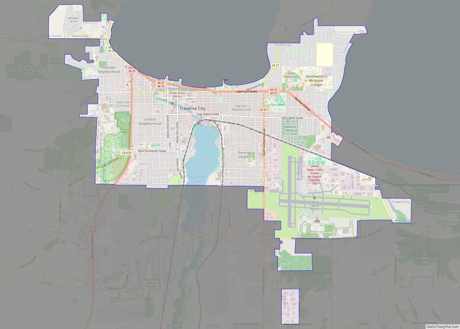
| Seat: | Traverse City |
| Largest city: | Traverse City |
| Total Area: | 601 sq mi (1,560 km²) |
| Land Area: | 464 sq mi (1,200 km²) |
| Total Population: | 95,238 |
| Population Density: | 198/sq mi (76/km²) |
| Time zone: | UTC−5 (Eastern) |
| Summer Time Zone (DST): | UTC−4 (EDT) |
| Website: | www.gtcountymi.gov |
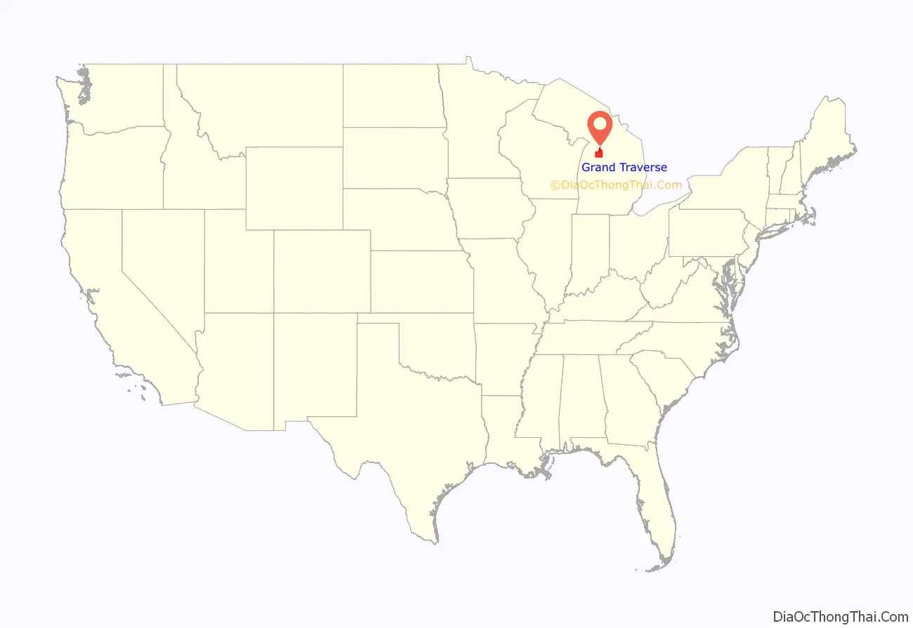
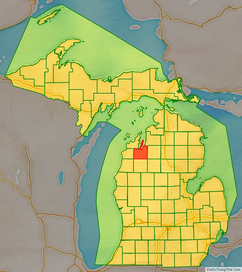
Grand Traverse County location map. Where is Grand Traverse County?
History
Prior to European settlement, Grand Traverse County was part of territory under the Council of Three Fires (comprising the Ojibwe, Odawa, and Potawatomi). These people called the area at the head of Grand Traverse Bay gichi-wiikwedoongsing (Ojibwe: ‘place at the head of the great bay’).
As a duty of the federal government under the 1836 Treaty of Washington, the first permanent settlement in the county was the mission now known as Old Mission, established in May 1839 as “Grand Traverse”. Grand Traverse Bay, from which the area takes its name, earned its name from 18th-century French voyageurs who made la grande traversée, or “the long crossing”, across the mouth of bay.
The Michigan Legislature separated the unorganized Omeena County from part of Michilimackinac County in 1840. Omeena is derived from an Ojibwe expression, o-me-nah, meaning “is it so?”
On April 7, 1851, an act of legislature organized Omeena County, effectively renaming it Grand Traverse County. The seat of government was designated to Boardman’s Mills, a location in the young Traverse City. The future counties of Antrim, Benzie, Kalkaska, Leelanau, Manistee, Missaukee, and Wexford were subsequently attached to Grand Traverse County for administrative purposes, until being organized in their own rights. However, the act contained no provisions on formation of townships or choosing of election officials, thus Grand Traverse County had no legal government until 1858. That winter, an act of the state legislature completed the organization of Grand Traverse County and divided the county between two initial townships:
- Peninsula Township, comprising the Old Mission Peninsula, and
- Traverse Township, which encompassed the rest of the county.
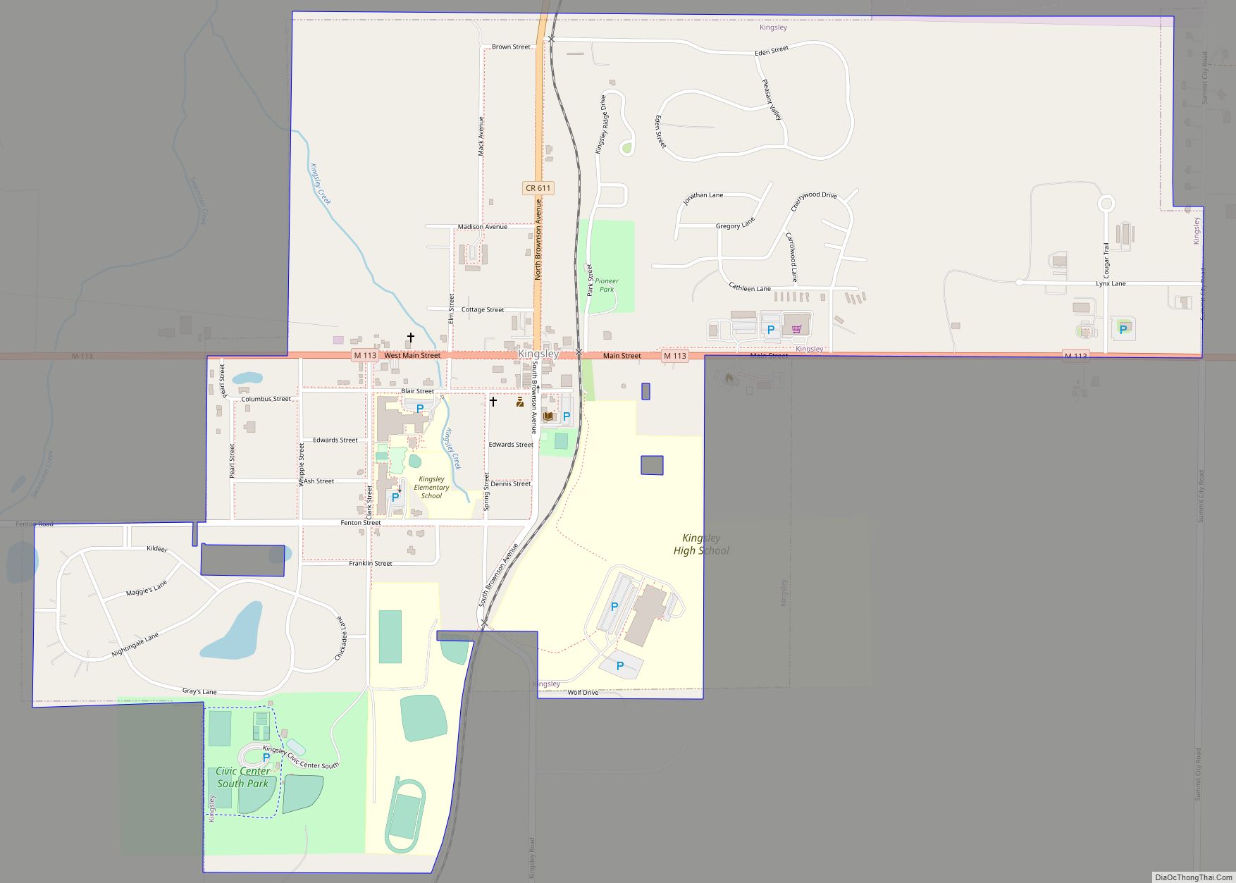
Today, Grand Traverse County contains thirteen townships.
An 1884 article called the Traverse Region famous for “its productiveness of soil, salubrious climate and romantic scenery”.
Historical markers
There are 12 recognized Michigan historical markers in the county: They are:
- City Opera House
- Congregation Beth El
- Dougherty Mission House
- Fife Lake–Union District No. 1 Schoolhouse
- Friends Meetinghouse
- Grand Traverse Bay
- Hannah and Lay Mercantile Building
- Hesler Log House
- Interlochen
- Ladies Library Association
- Novotny’s Saloon
- Traverse City Regional Psychiatric Hospital
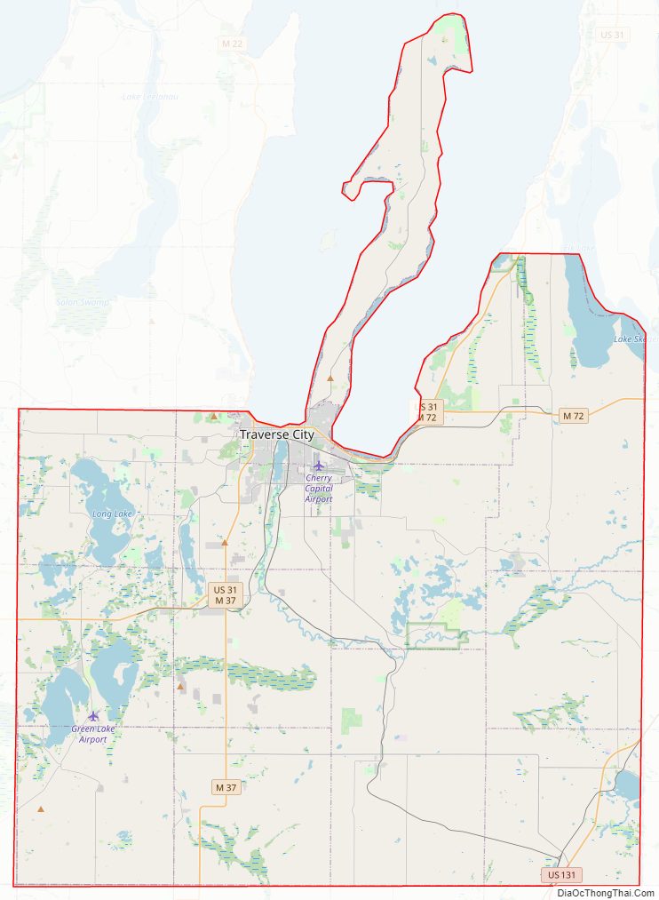
Grand Traverse County Road Map
Geography
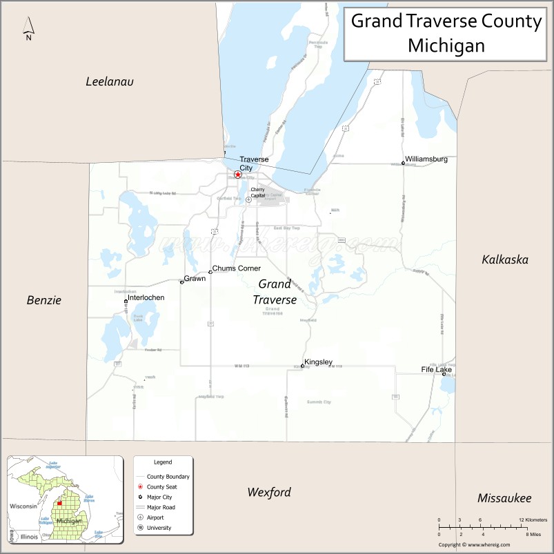
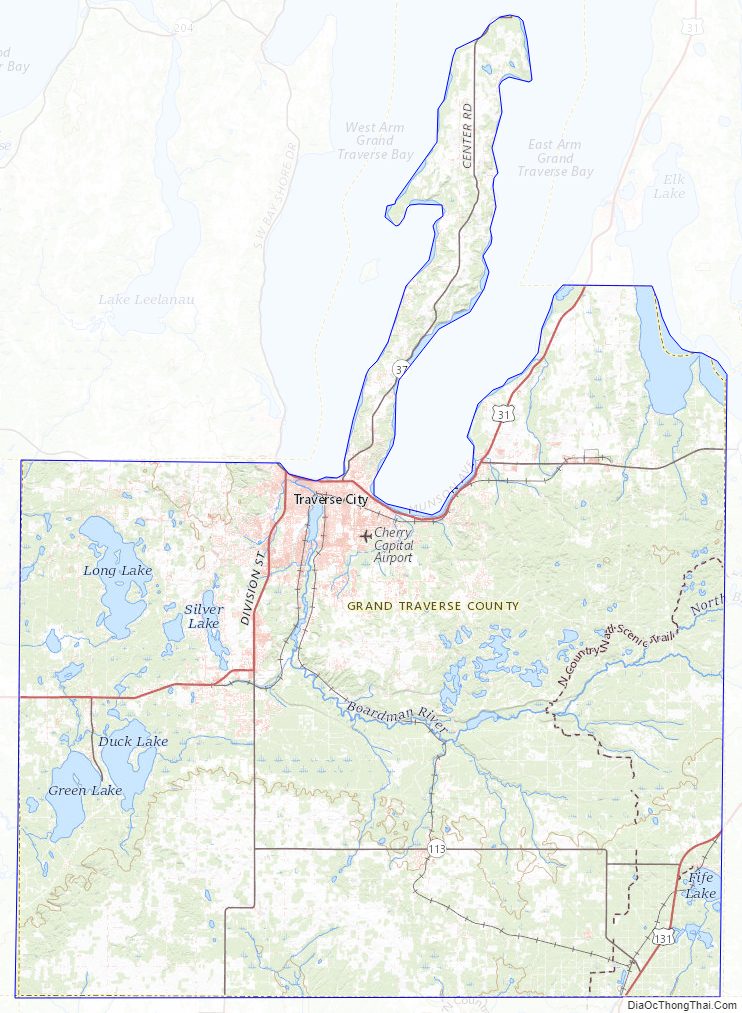
According to the U.S. Census Bureau, the county has a total area of 601 square miles (1,560 km), of which 464 square miles (1,200 km) is land and 137 square miles (350 km) (23%) is water. Grand Traverse County is considered to be part of Northern Michigan. The highest point in Grand Traverse County is Exodus Hill in Long Lake Township, and the lowest point is the Grand Traverse Bay. Power Island, the largest island in Grand Traverse Bay, is part of Peninsula Township. The county is home to many notable lakes, including Arbutus Lake, Fife Lake, Green Lake, Silver Lake, Spider Lake, and part of Elk Lake. The county’s largest inland lake is Long Lake.
Rivers
- Betsie River, begins at Green Lake (although its tributaries extend much further into the county), flows west into Benzie County, and eventually to Lake Michigan at Frankfort.
- Boardman River, enters from the east from Kalkaska County, flows west and north until reaching West Bay in Traverse City.
- Platte River, begins at Long Lake and flows west to Lake DuBonnet and into Benzie County, eventually ending at Lake Michigan.
Adjacent counties
- Antrim County (northeast)
- Kalkaska County (east)
- Missaukee County (southeast)
- Wexford County (south)
- Manistee County (southwest)
- Benzie County (west)
- Leelanau County (northwest)
Protected area
- Pere Marquette State Forest
State parks
- Interlochen State Park
- Keith J. Charters Traverse City State Park
- Old Mission State Park
Grand Traverse County Topographic Map
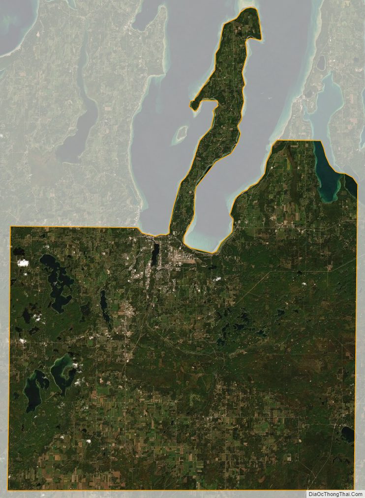
Grand Traverse County Satellite Map
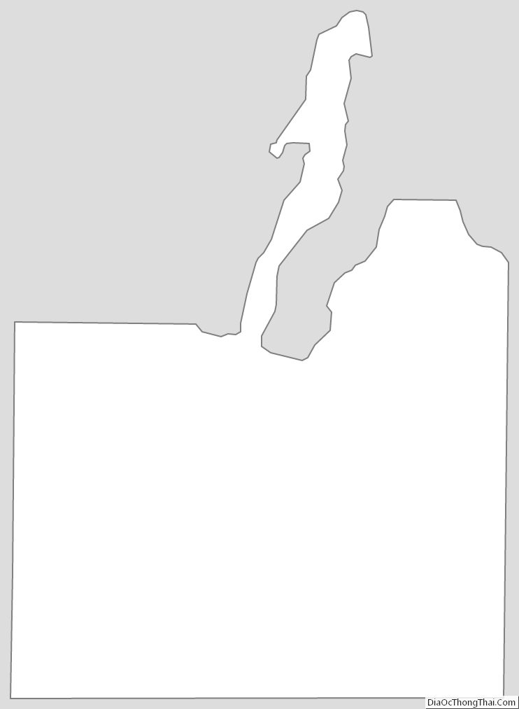
Grand Traverse County Outline Map