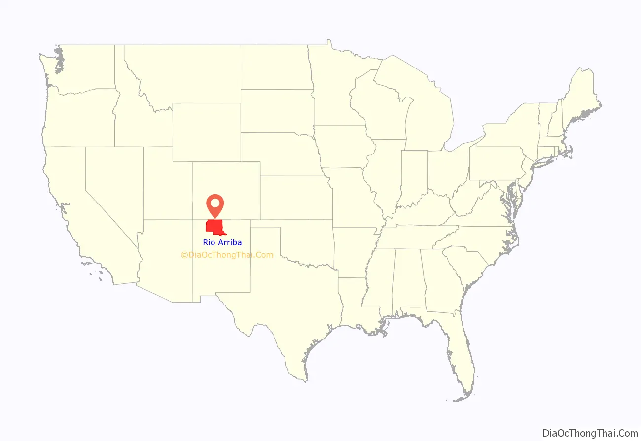
Rio Arriba County (Spanish: Condado de Río Arriba) is a county in the U.S. state of New Mexico. As of the 2010 census, the population was 40,246. Its county seat is Tierra Amarilla. Its northern border is the Colorado state line.
Rio Arriba County comprises the Española, NM Micropolitan Statistical Area, which is also included in the Albuquerque–Santa Fe–Las Vegas, NM Combined Statistical Area.
| Name: | Rio Arriba County |
|---|---|
| FIPS code: | 35-039 |
| State: | New Mexico |
| Founded: | 1852 |
| Named for: | location on the upper Rio Grande (río arriba means “upriver” in Spanish) |
| Seat: | Tierra Amarilla |
| Largest city: | Española |
| Total Area: | 5,896 sq mi (15,270 km²) |
| Land Area: | 5,861 sq mi (15,180 km²) |
| Total Population: | 40,179 |
| Population Density: | 6.9/sq mi (2.7/km²) |
| Time zone: | UTC−7 (Mountain) |
| Summer Time Zone (DST): | UTC−6 (MDT) |
| Website: | www.rio-arriba.org |
Rio Arriba County location map. Where is Rio Arriba County?
History
The county was one of nine originally created for the Territory of New Mexico in 1852. Originally extending west to the California line, it included the site of present-day Las Vegas, Nevada. The county seat was initially sited at San Pedro de Chamita, and shortly afterwards at Los Luceros. In 1860 the seat was moved to Plaza del Alcalde. Since 1880 Tierra Amarilla has been the county seat.
The Battle of Embudo Pass took place in the southern part of the county during the Mexican–American War in January 1847.
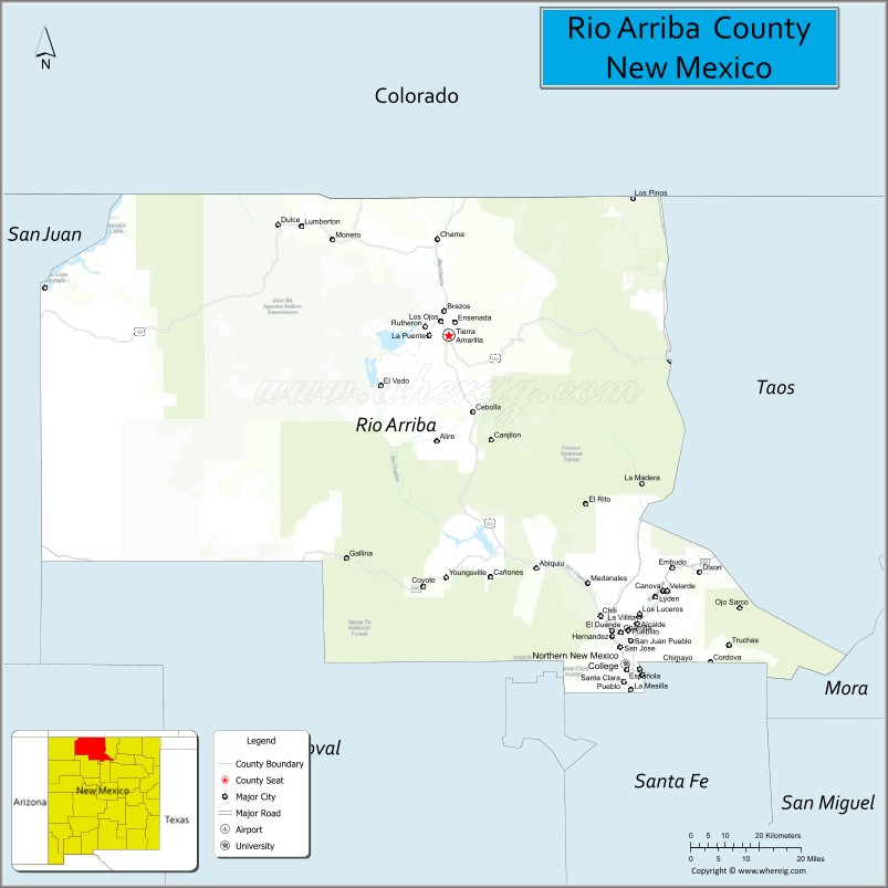
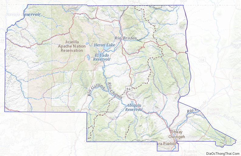
Rio Arriba County Road Map
Geography
According to the U.S. Census Bureau, the county has a total area of 5,896 square miles (15,270 km), of which 5,861 square miles (15,180 km) are land and 35 square miles (91 km) (0.6%) are water. It is the fifth-largest county in New Mexico by area. The highest point in the county is the summit of Truchas Peak at 13,102 feet (3,993 m).
The county acquired its present proportions after the creation of San Juan County and other adjustments.
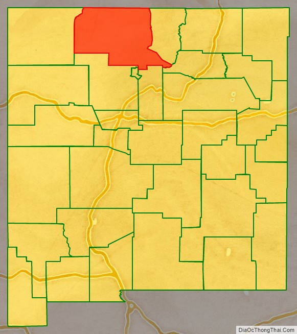
Adjacent counties
- Taos County – east
- Mora County – southeast
- Santa Fe County – south
- Los Alamos County – south
- Sandoval County – south
- San Juan County – west
- Archuleta County, Colorado – north
- Conejos County, Colorado – north
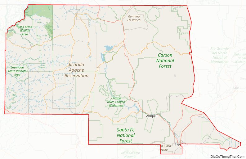
National protected areas
- Carson National Forest (part)
- El Camino Real de Tierra Adentro National Historic Trail (part)
- Santa Fe National Forest (part)
- Valles Caldera National Preserve (part)
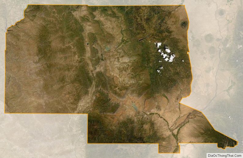
Rio Arriba County Topographic Map
Rio Arriba County Satellite Map
Rio Arriba County Outline Map
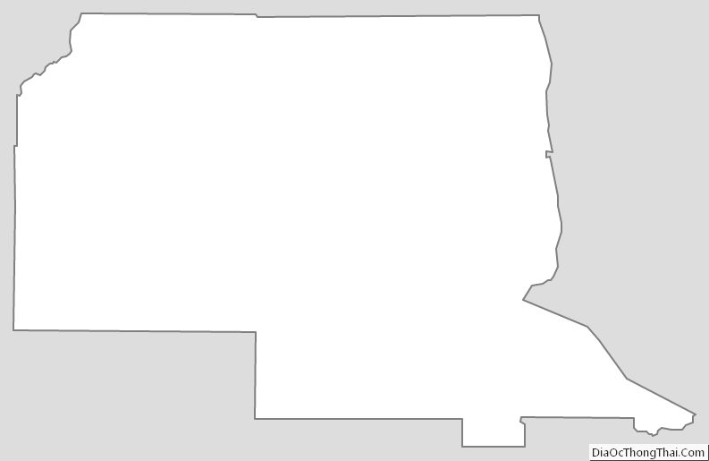


How can I use this outline to make some political cards