Tuscola County is a county in the Thumb region of the U.S. state of Michigan. As of the 2020 census, the population was 53,323. The county seat is Caro. The county was created by Michigan Law on April 1, 1840, from land in Sanilac County and attached to Saginaw County for administrative purposes. The Michigan Legislature passed an act on March 2, 1850, that empowered the county residents to organize governmental functions.
Tuscola County is one of five counties in the Thumb area. Like the rest of the thumb, Tuscola County enjoys seasonal tourism from cities like Flint, Detroit and Saginaw.
| Name: | Tuscola County |
|---|---|
| FIPS code: | 26-157 |
| State: | Michigan |
| Founded: | April 1, 1840 organized March 2, 1850 |
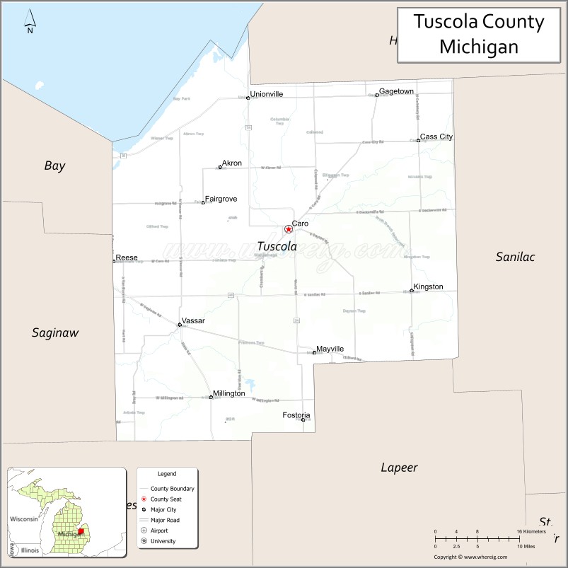
| Seat: | Caro |
| Largest city: | Caro |
| Total Area: | 914 sq mi (2,370 km²) |
| Land Area: | 803 sq mi (2,080 km²) |
| Total Population: | 53,323 |
| Population Density: | 66/sq mi (25/km²) |
| Time zone: | UTC−5 (Eastern) |
| Summer Time Zone (DST): | UTC−4 (EDT) |
| Website: | www.tuscolacounty.org |
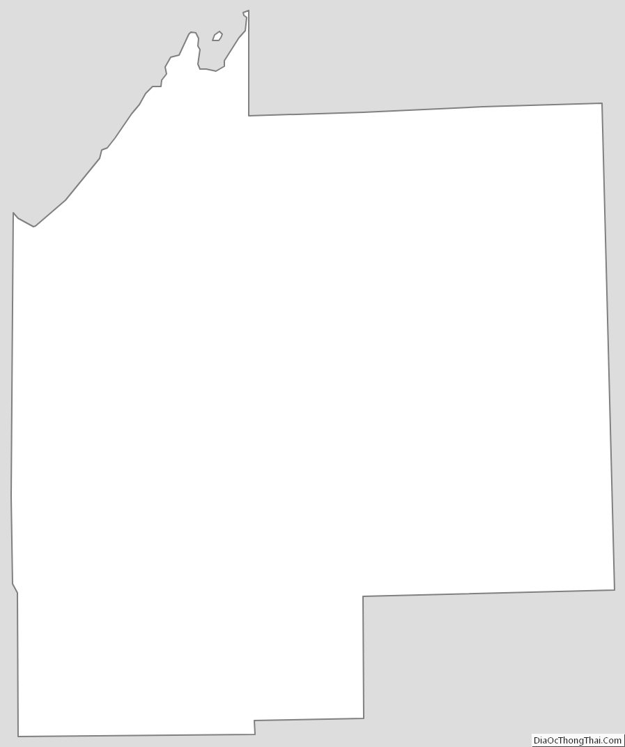
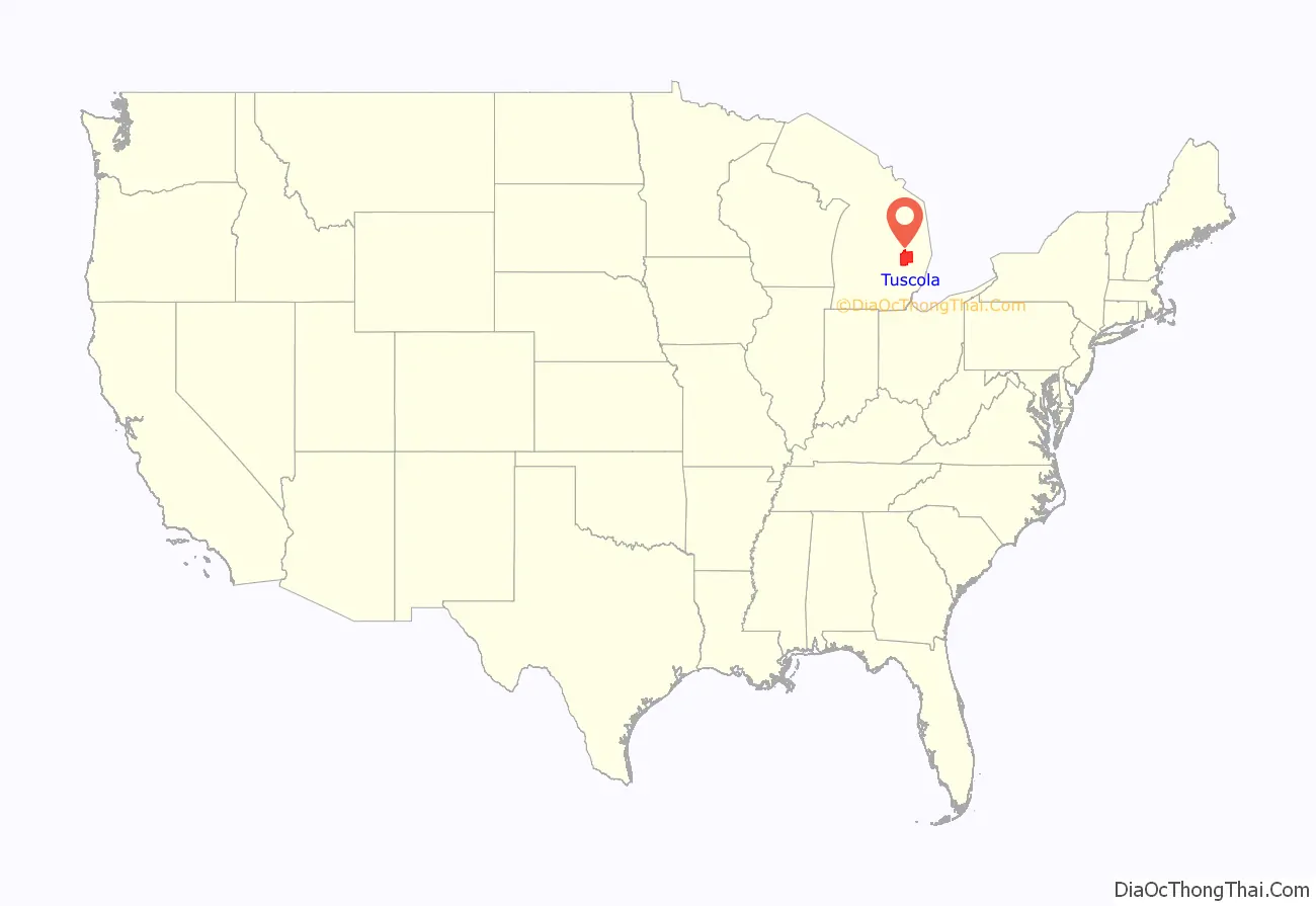
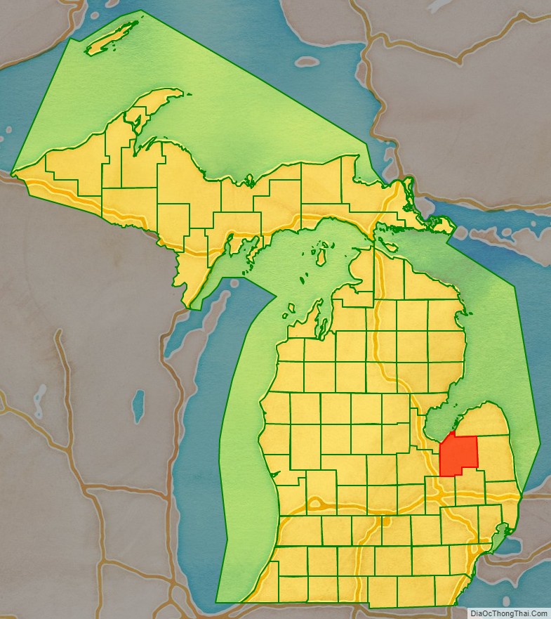
Tuscola County location map. Where is Tuscola County?
History
The name Tuscola was a neologism created by Henry Schoolcraft and had an aboriginal root. That source likely was the native Ojibwe name “desakamigaa” that means the flat level ground or simply the flat country. For an ending, Mr. Schoolcraft then used a form of the Latin word “colo” that means to cultivate, till, or farm or a land that is cultivated. For the suffix, the related Latin word “colonia” from which we get today the word colony means a farm estate. Tuscola then means the flat cultivated land. Henry Schoolcraft once wrote that Tuscola was derived from Native words and meant level lands. A similar word to desakamigaa is the Ojibwe word “desinaagan” that is translated as dinner plate. Shell in their language is “ess”. The Ojibwe often used a shell or bark from a tree for a dish. The Ojibwe prefixes “desi-” and “tessa” are used to form their words for flat objects such as a shelf, platform, bench, or plate.
The Thumb of Michigan, which also includes Huron and Sanilac Counties, was originally called by Iroquois speaking people “Skenchioe” in the 17th century, which may be related to the Onondaga word “uschwuntschios” meaning a champaign or large extended plain. In the early 18th century, the French called the Thumb of Michigan “Le Pays Plat” that means The Flat Country. The French word “pays” means country while “plat” means flat. The English in the later 18th Century also called the land back from the shoreline around the Thumb of Michigan the Flat Country. The Thumb of Michigan forms a tableland with knolls or hillocks located in the central part of the Thumb along the Cass River. The county seat of Tuscola is Caro that is located north of the Cass River along one of these large knolls. The land around Caro particularly to the west, north, and northeast is widely farmed and cultivated. The township in which Caro lies was named Indianfields because it was a place of many early Native American gardens.
At the Treaty of Saginaw of 1819, the native leader who represented the Cass River and the Tuscola area was Chief Otusson. Otusson’s Reservation was located where today lies Frankenmuth, MI. Otusson’s Reservation along with a large amount of the surrounding land was sold by the Treaty of 1837.
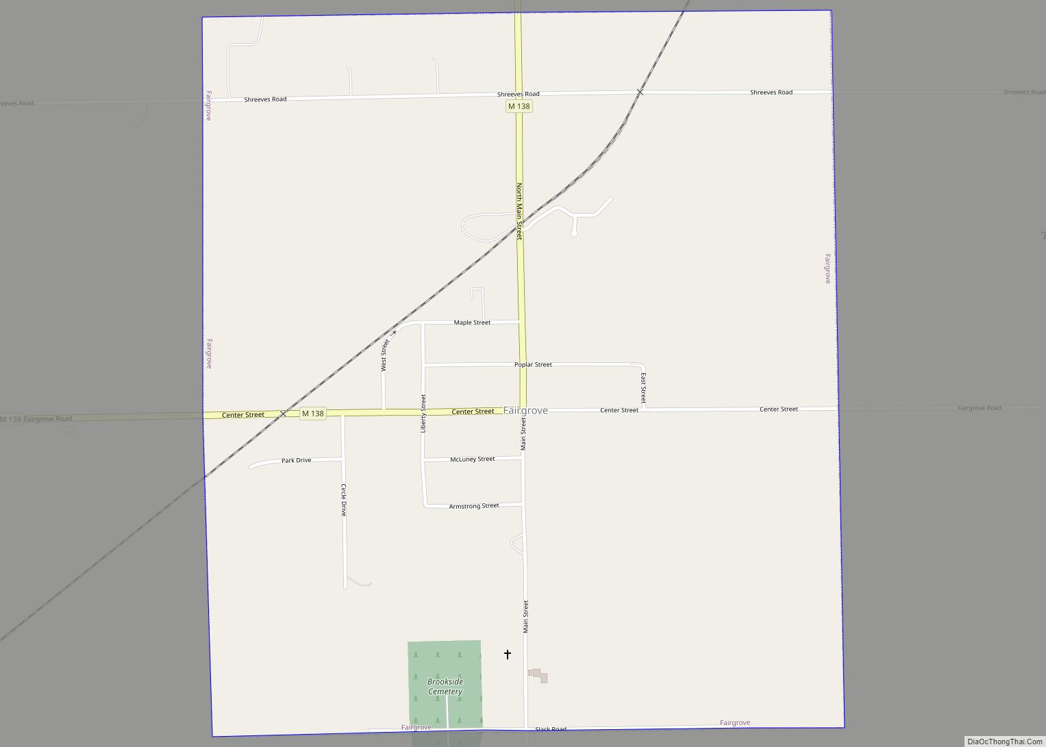
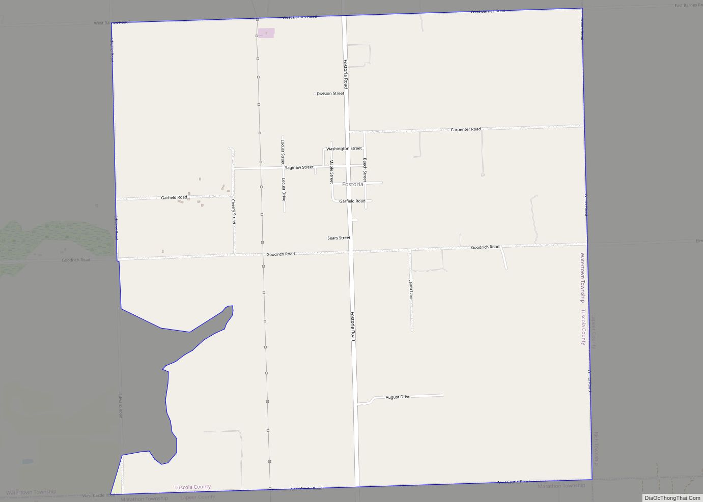
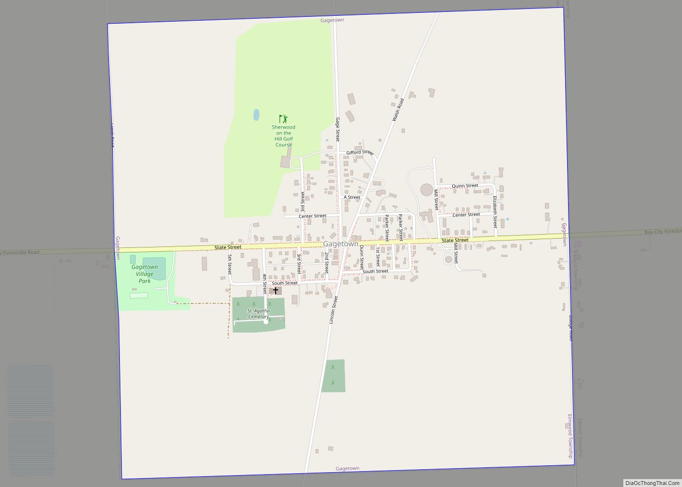
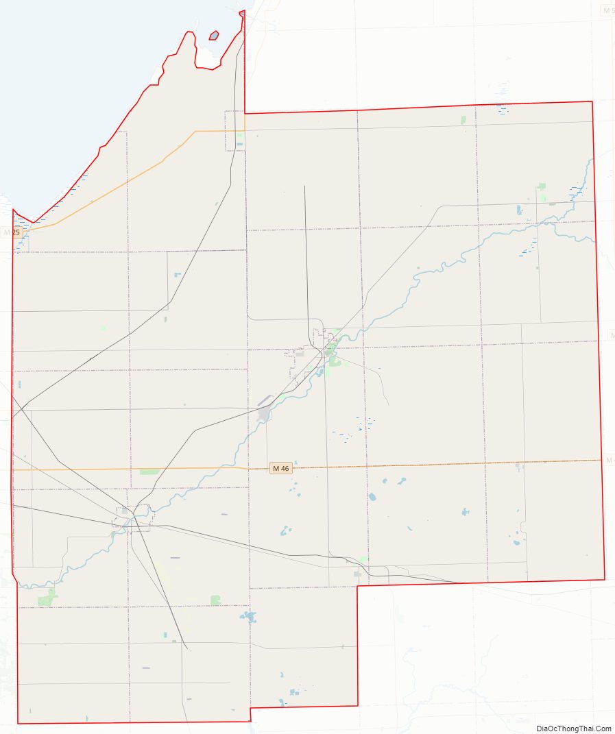
Tuscola County Road Map
Geography
According to the U.S. Census Bureau, the county has a total area of 914 square miles (2,370 km), of which 803 square miles (2,080 km) is land and 111 square miles (290 km) (12%) is water.
Adjacent counties
- Huron County (north)
- Sanilac County (east)
- Saginaw County (west)
- Lapeer County (southeast)
- Genesee County (southwest)
- Bay County (west)
Major highways
- M-15, runs north and south
- M-24, runs north and south
- M-25, runs north and south
- M-46, runs east and west
- M-81, runs east and west
- M-138, runs east and west
Airport
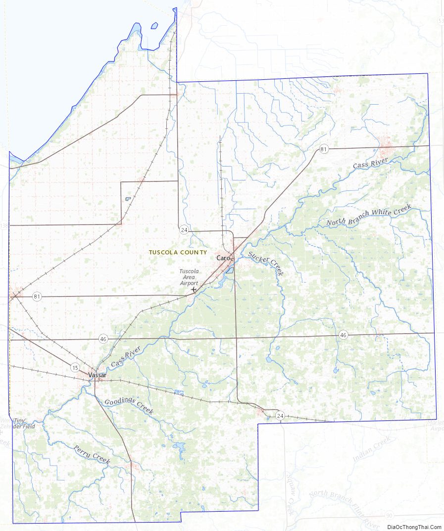
- Tuscola Area Airport
Tuscola County Topographic Map
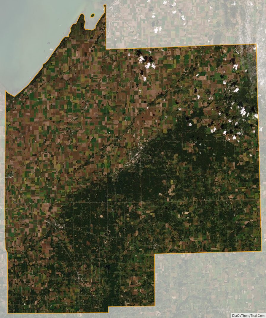
Tuscola County Satellite Map
Tuscola County Outline Map