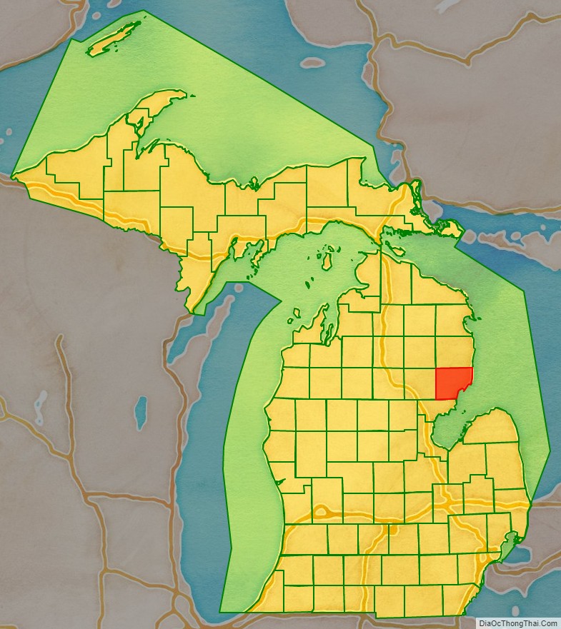
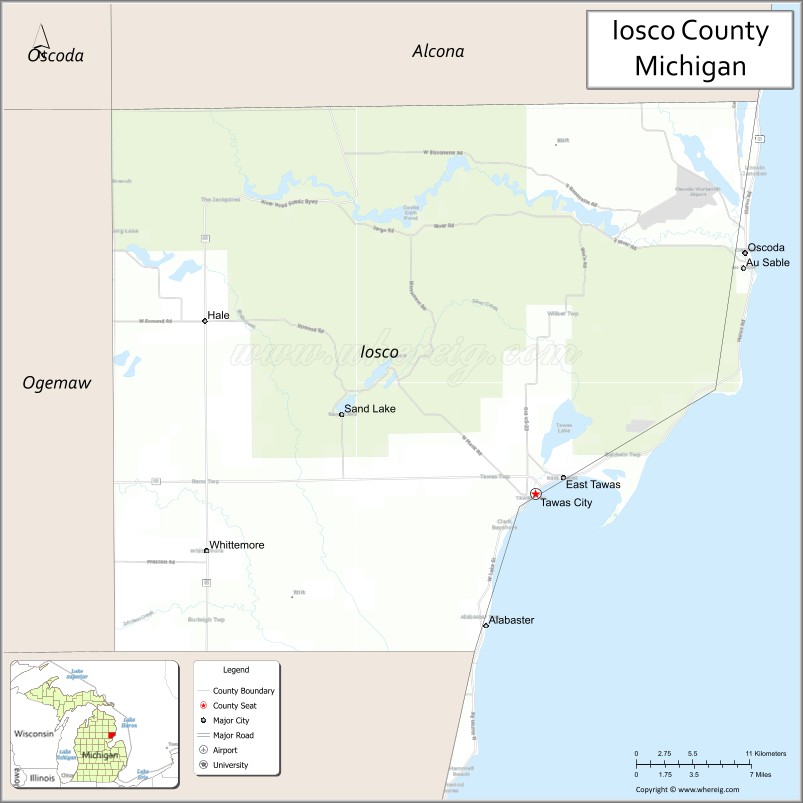
Iosco County (/aɪˈɒskoʊ/ eye-OSS-koh, locally /ˈjɒskoʊ/ YOSS-koh) is a county in the U.S. state of Michigan; its eastern border is formed by Lake Huron. As of the 2010 census, the population was 25,237. The county seat is Tawas City.
| Name: | Iosco County |
|---|---|
| FIPS code: | 26-069 |
| State: | Michigan |
| Founded: | 1840 |
| Seat: | Tawas City |
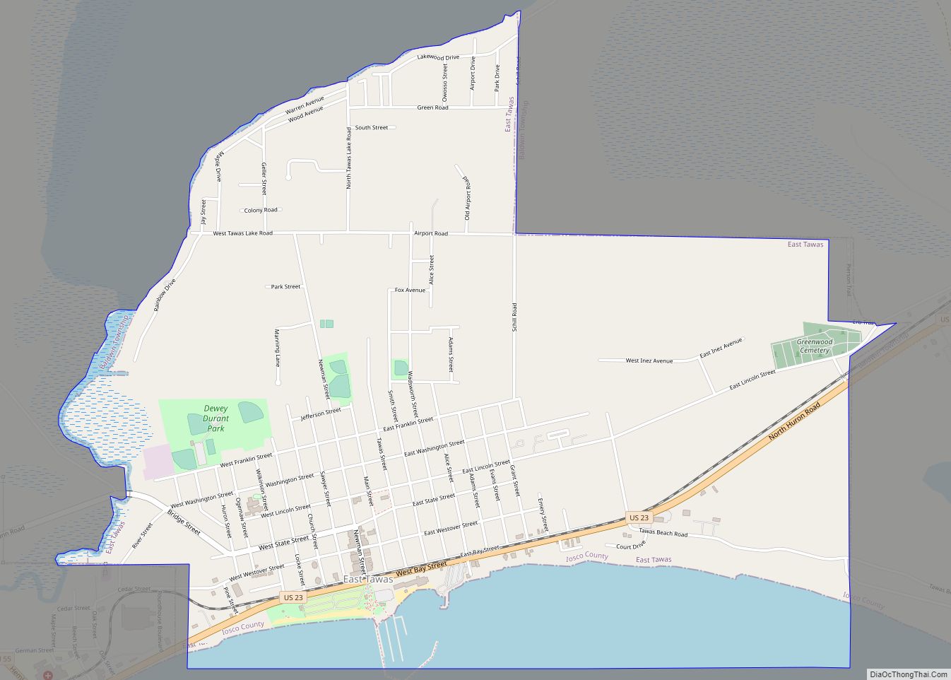
| Largest city: | East Tawas |
| Total Area: | 1,890 sq mi (4,900 km²) |
| Land Area: | 549 sq mi (1,420 km²) |
| Total Population: | 25,237 |
| Population Density: | 47/sq mi (18/km²) |
| Time zone: | UTC−5 (Eastern) |
| Summer Time Zone (DST): | UTC−4 (EDT) |
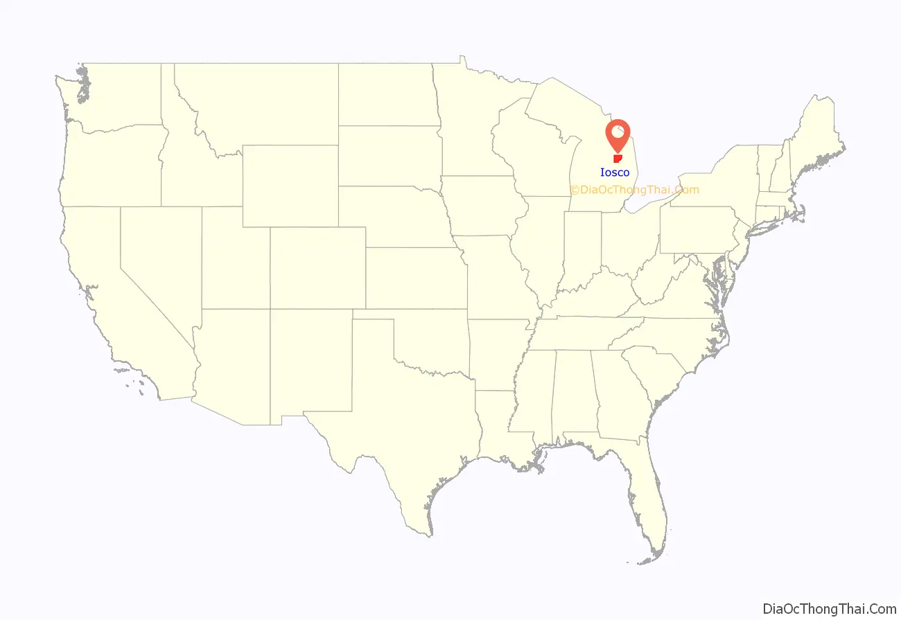
Iosco County location map. Where is Iosco County?
History
The county was created by the Michigan Legislature in 1840 as Kanotin County, and renamed Iosco County in 1843. It was administered by a succession of other Michigan counties before the organization of county government in 1857. A majority of the population was Ojibwe. The area offered shelter from tall white pines and food from the river and lake. Iosco County was cut from a piece of land ceded by the Ojibwe to the U.S. government. When the lumber boom hit, many more people moved to the area.
The 400-acre Alabaster Historic District, listed on the National Register of Historic Places, is associated with an operating gypsum open-pit mine south of Tawas City. The large company town included internal rail lines for transportation and a tramway extending over Lake Huron on long piers for loading gypsum onto ships. Started in 1862, the mine supplied gypsum for temporary buildings constructed in Chicago at the World Columbian Exposition of 1893. Two companies continue to mine gypsum in Iosco County.
In 2009, Alabaster Township formed the nonprofit Alabaster Wind Power Development Corp. to conduct the necessary two-year studies of wind data at this site as a potential location for development of wind turbines. It proposed using 10 large tramway platforms that extend more than 6,000 feet into the lake to gauge winds. The turbines could be built on the tramways. At the time, the federal government was offering subsidies for such studies and development of alternative energy projects.
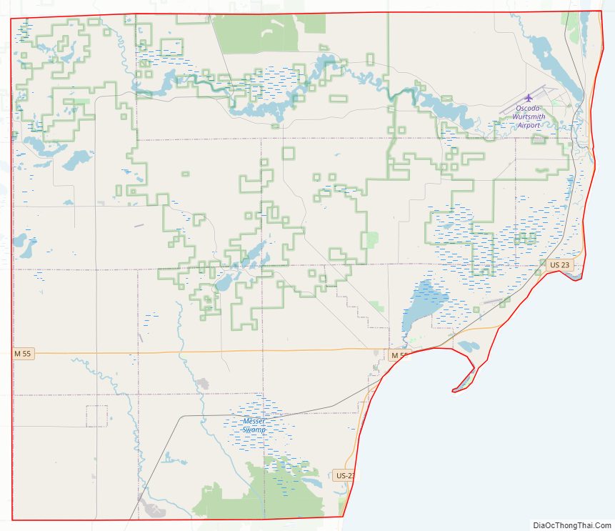
Iosco County Road Map
Geography
According to the US Census Bureau, the county has an area of 1,890 square miles (4,900 km), of which 549 square miles (1,420 km) is land and 1,341 square miles (3,470 km) (71%) is water. It is considered part of Northern Michigan. In total, it covers about 6,361,837 acres.
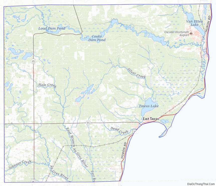
Geographic features
- Lumberman’s Monument
- Canoer’s memorial
- 60 Lakes Area – Located near Hale
- Iargo Springs
- Tawas Point Light House – First lit in 1853
- Tawas Bay
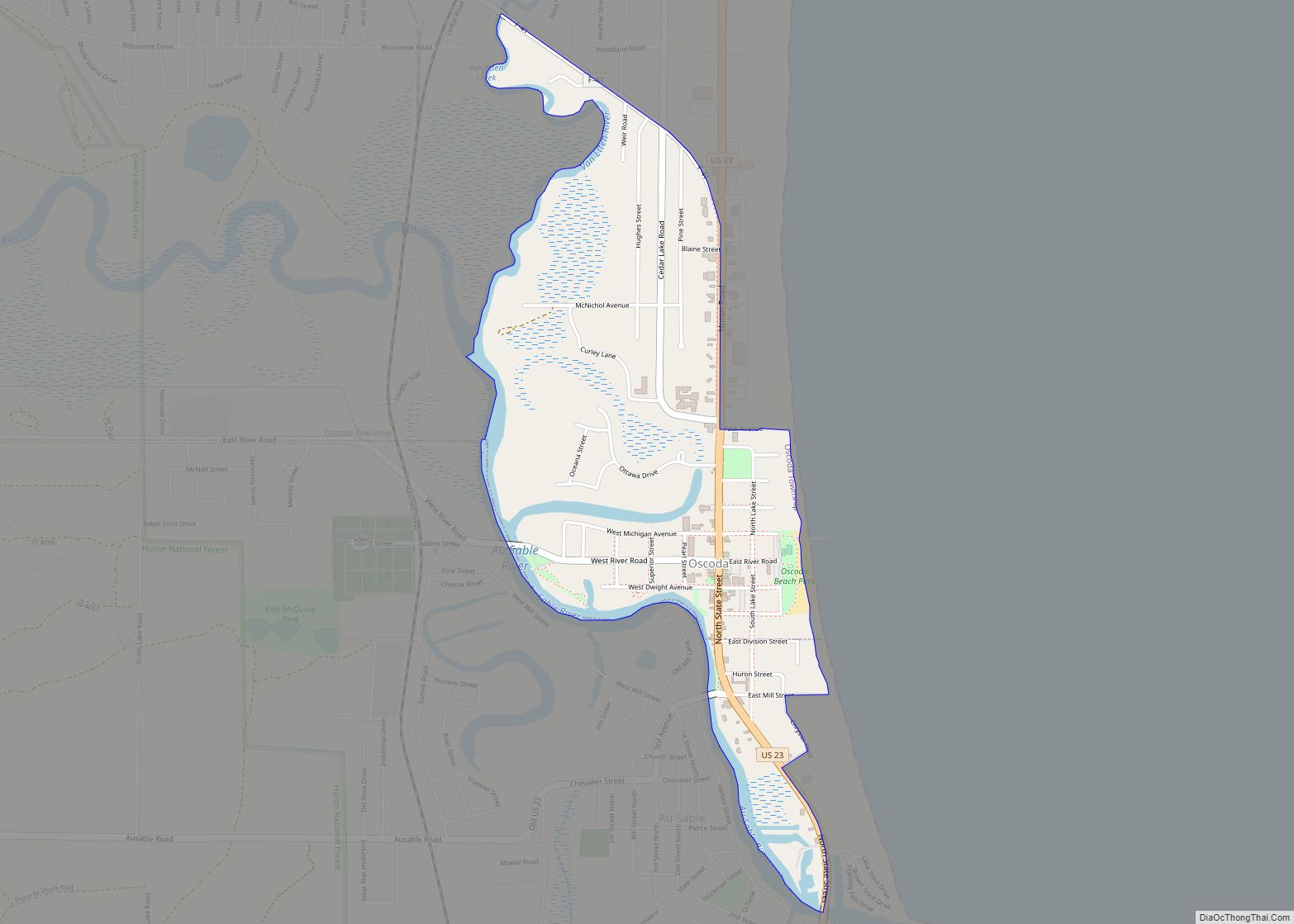
- Pine River – rises in Alcona County and flows into Iosco County, where it empties into Van Etten Lake at 44°29′38″N 83°23′16″W / 44.49389°N 83.38778°W / 44.49389; -83.38778 northwest of Oscoda.
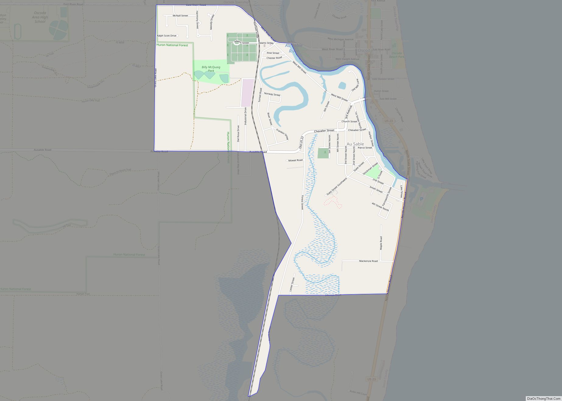
- Au Sable River
- Tuttle Marsh Wildlife Area
- Van Etten Lake
- Tawas Lake
- Foote Dam Pond
- Au Sable State Forest (partial) – the Grayling Fire Management Unit consists of Alcona, Crawford, and Oscoda Counties, and northern Iosco county.
Major highways
- US 23 – known as the Sunrise Side Coastal Highway.
- M-55 – one of three cross-peninsular state highways. It begins in Tawas City at the junction with US 23.
- M-65
- F-41
- River Road National Scenic Byway – starts at M-65 and runs parallel with the Au Sable River for 23 miles (37 km) eastward to US 23 in Oscoda, Michigan. It is a designated National Scenic Byway. It passes the Lumberman’s Monument.
Adjacent counties
By land
- Alcona County – north
- Arenac County – southwest
- Ogemaw County – west
- Oscoda County – northwest
By water
- Huron County – southeast
National protected area
- Huron National Forest (part)
Iosco County Topographic Map
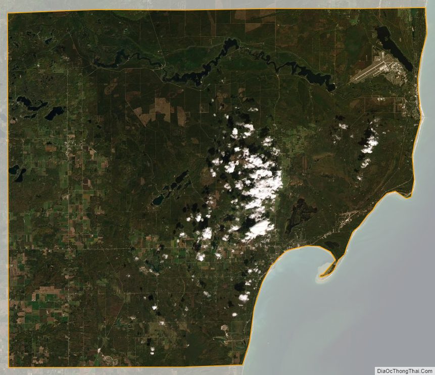
Iosco County Satellite Map
Iosco County Outline Map